Difficult
Happy Isles to Cloud's Rest Loop [CLOSED]
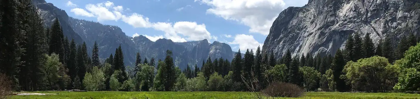
Yosemite Valley, California
20 mi
Distance
7,897 ft
Elev. Gain
9h 48m
Est. Time
0.0
0 Reviews
About This Trail
The Happy Isles Trailhead is where you should start if you want to go to the Mist Trail. Continue on the Mist Trail until you reach the JMT. Go left and onto the JMT. There should be some bathroom facilities on the right side of the road. Continue until the Half Dome/JMT junction. It said to turn right to stay on the JMT. Go for half a mile until you reach a fork and then take a left to reach Cloud's Rest. Go from Cloud's Rest and then take the Pack Trail to the junction. Take this back to the valley. Take the next two rights and follow them back to the valley. Take the Mist Trail back to the valley if you did it up.
Trail Details
Loop
Route Type
Dirt
Surface
No Dogs
Dog Policy
Yes
Kid Friendly
No
Permit Required
Elevation Profile
Min:1,232 ft
Max:2,989 ft
2,407 ft
2,407 ft
Reviews
No reviews yet
Be the first to share your experience and help others plan their visit.
Trail Conditions
Trail Conditions
Unknown
Updated Unknown
No recent condition reports. Be the first to share what you see on the trail.
Merced Lake to Half Dome Loop via John Muir, Pack and Cloud Rest Trails [CLOSED]
55.8 km
Difficult
John Muir Trail via Yosemite Valley
326.9 km
Difficult
Diving Board [CLOSED]
20.1 km
Difficult
Merced Lake Trail [CLOSED]
55.4 km
Difficult
Yosemite to Agnew Meadows [CLOSED]
100.1 km
Moderate
East Valley Floor Trail [CLOSED]
10.0 km
Easy
In this park
Other trails in Yosemite National Park

Half Dome
California
3.2 km1,463 mgain
Expert

Mirror Lake Loop
California
6.2 km30 mgain
Easy
Yosemite Falls Trail
California
4.8 km823 mgain
Difficult

Four Mile Trail
California
7.7 km975 mgain
Difficult
Upper Yosemite Falls Trail
California
11.6 km1,575 mgain
Difficult
Four Mile Trail
California
14.8 km2,058 mgain
Difficult
Stay nearby
Campgrounds near this trail
Similar length
Similar trails in California
Mount Tallac Trail
California
16.4 km1,178 mgain
Difficult
Mount Whitney Trail
California
36.2 km4,357 mgain
Difficult
Mount Baldy via Devil's Backbone Trail
California
22.5 km1,798 mgain
Difficult
Skyline Drive to Beek's Place
California
17.5 km933 mgain
Moderate
Los Liones Canyon and East Topanga Fire Road [CLOSED]
California
17.2 km1,044 mgain
Difficult
Sitton Peak Truck Trail
California
16.7 km811 mgain
Difficult