Status unknown — verify before visiting

We don't have current condition data for this trail. Check with the land manager before you go.
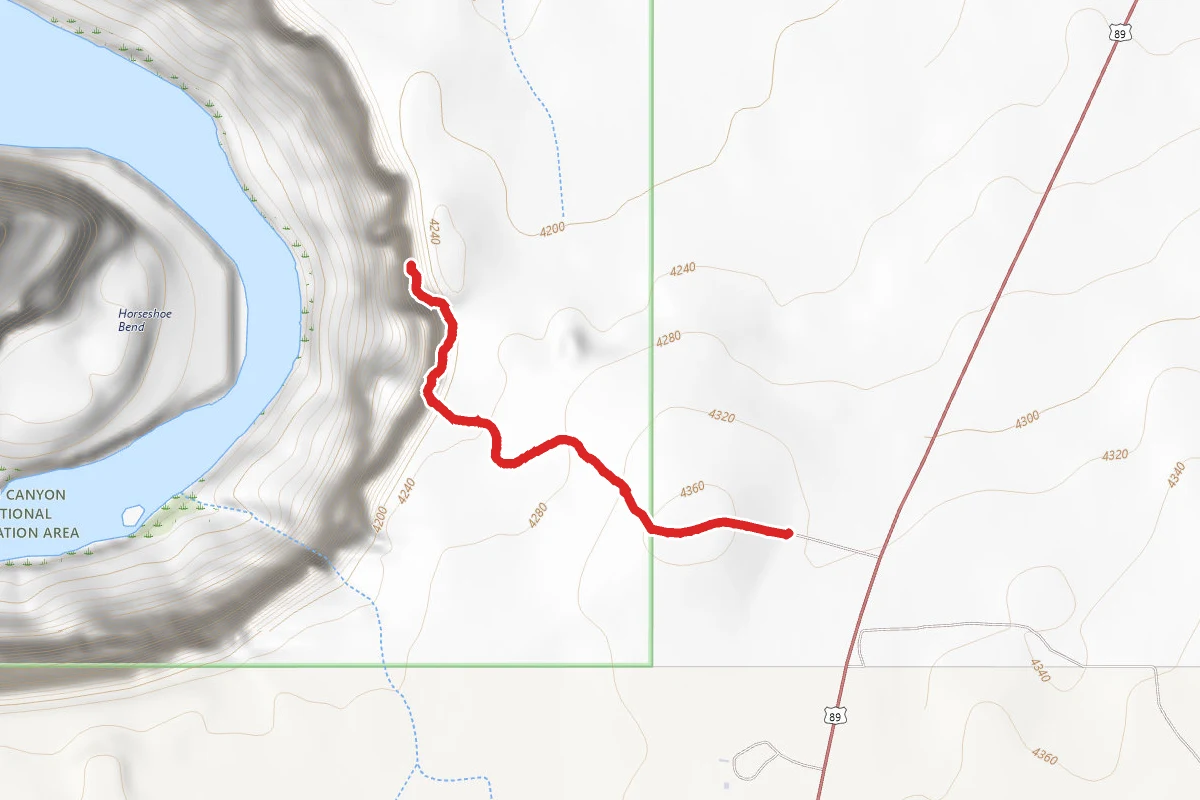
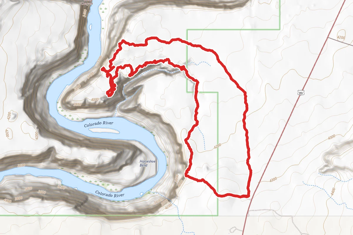
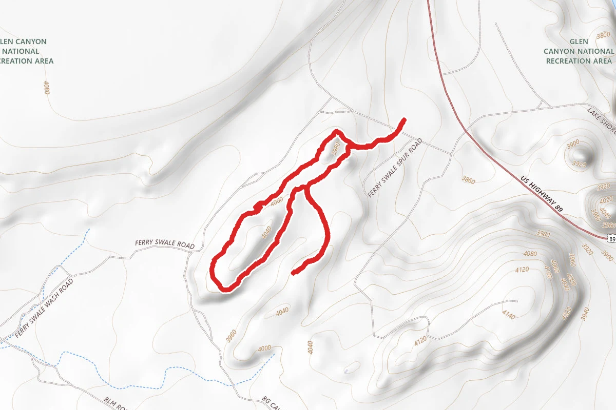
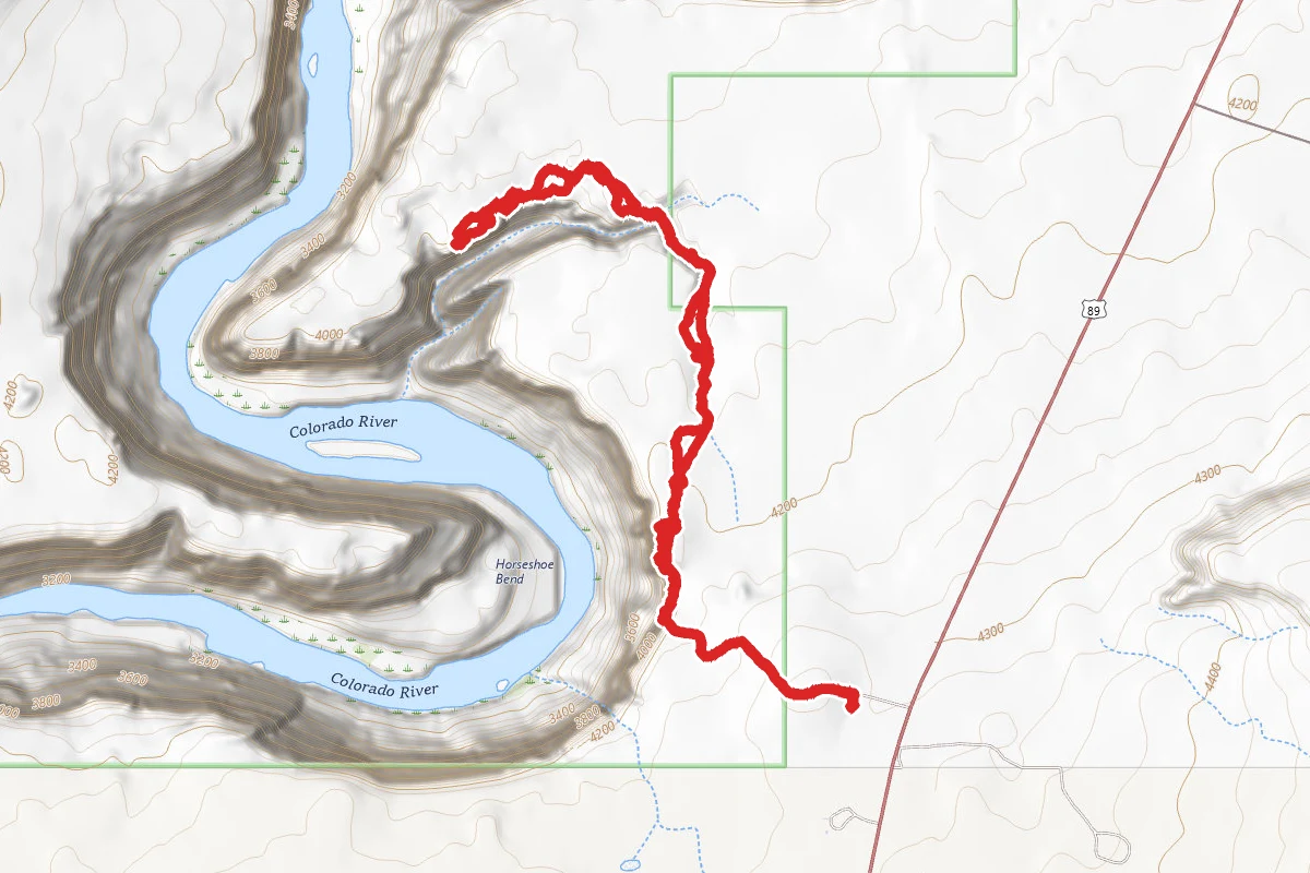
Horseshoe Bend Trail route map
EasyOut and Back

Horseshoe Bend Trail

Page, Arizona

1.5 mi

Distance

305 ft

Elev. Gain

37m

Est. Time

Out & Back

Route Type

Easy

Difficulty

About This Trail

Imported description
Located in the Paria Canyon- Vermilion Cliffs Wilderness Area, Horseshoe Bend is approximately 5 miles south of Carl Hayden Visitor Center on U.S. Hwy 89 just south of highway marker 545, turn at the sign onto the dirt road which ascends the small hill. Park at the base of the hill, it’s a decently sized lot so you will for sure be able to find a parking spot. Make sure to pay $10 parking fee where the attendant is located before heading up towards the overlook! (Note: National Park Annual Passes are not accepted here.) Famous for its beauty, Horseshoe Bend sees hundreds of visitors every day and is an attraction you have to stop by and check out. It is absolutely beautiful no matter what time it is however the most picturesque time would be during sunset. People may disagree, but when I went, the whole horseshoe bend lights up and becomes stunning. While I was there during sunset, I also saw many wedding photos being taken, so if that doesn’t convince you that sunset is the right time to go, I don’t know what would! Make sure to stand on the edge and look down, it’s an experience you just don’t want to miss! Note that horseshoe bend has little to no rails, so take caution with children especially near the cliff sides. You’re also going to be trekking up a lot of sand so make sure to wear closed toe shoes (no hiking shoes required, athletic shoes or sneakers are good enough), it might be practical to wear a hat (because there’s no shade) and a scarf or face mask, especially when it’s windy. (You may get wind slapped by a bunch of sand while you’re heading up the hill. This is caused by mother nature or from the people walking in front of you.) What to Bring/Wear: -Camera (you’re for sure going to want to take pictures) -Closed toe shoes -If it’s windy, it would be smart to bring a face mask (because you will get sand in your face) -Cash (If you park in the parking lot, the fee is $10) -Water (this hike may be “easy and short,” but you’ll be thirsty heading uphill towards the bend)

Trail Conditions

Trail Conditions

Unknown

We have no current condition data for this trail. Check with the operator before you go, and submit a report below if you've been recently.

No recent condition reports. Be the first to share what you see on the trail.

Elevation Profile

Min:1,276 ft
Max:1,332 ft
93 ft
93 ft
1,276 ft1,295 ft1,313 ft1,332 ft0.0 mi0.4 mi0.7 mi1.1 mi1.5 mi

Trail Details

Route Type
Out & Back
Surface
Dirt

Official sources & verification

We don't have curated agency sources for this trail in our cache yet. Outdoors is not the permitting authority — confirm conditions, permits, and access with the managing agency before you go. If you know who manages this trail, please tell us.

Reviews

No reviews yet

Be the first to share your experience and help others plan their visit.

Legacy import — verify before navigating

Path geometry came from our pre-launch legacy database. Routes have not yet been re-verified against the operator and may differ from the actual trail.

Hunt context

This trail crosses hunting unit

During hunting seasons, wear blaze orange and check regulations — see the Arizona hunting page
Spot an error in our data on Horseshoe Bend Trail?