Status unknown — verify before visiting

We don't have current condition data for this trail. Check with the land manager before you go.

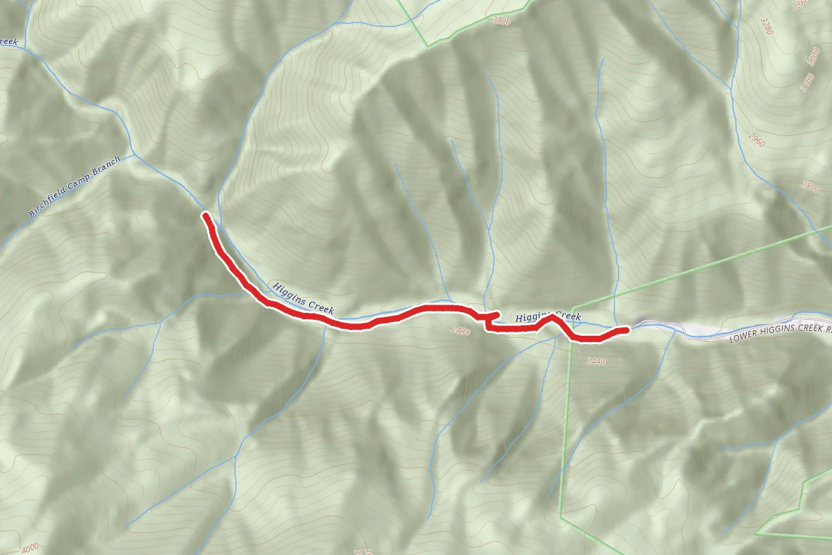
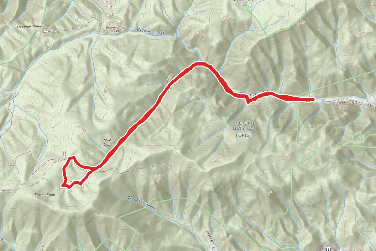
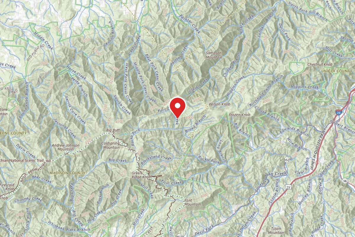
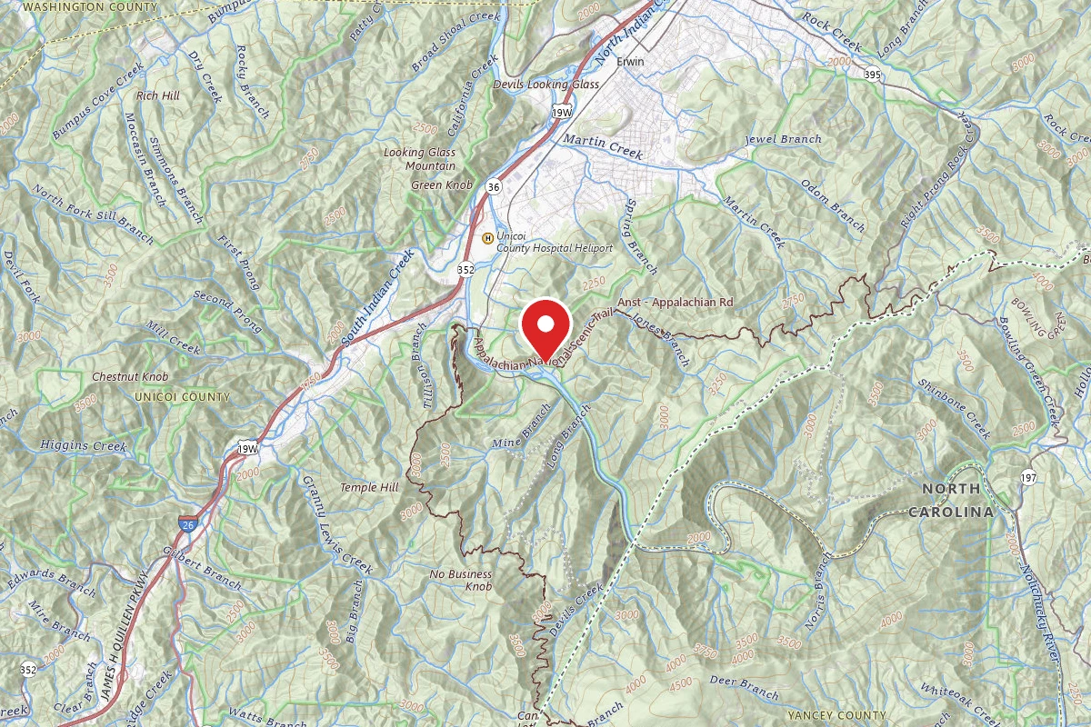
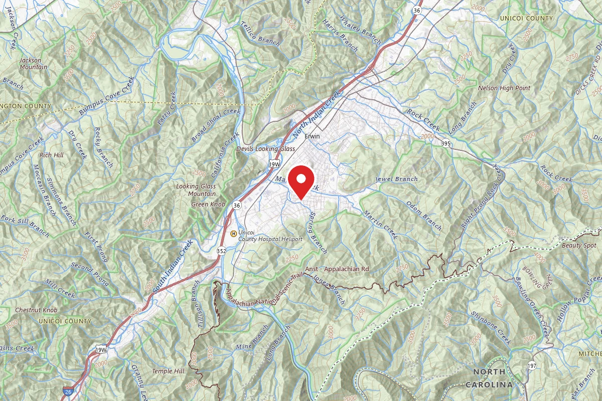
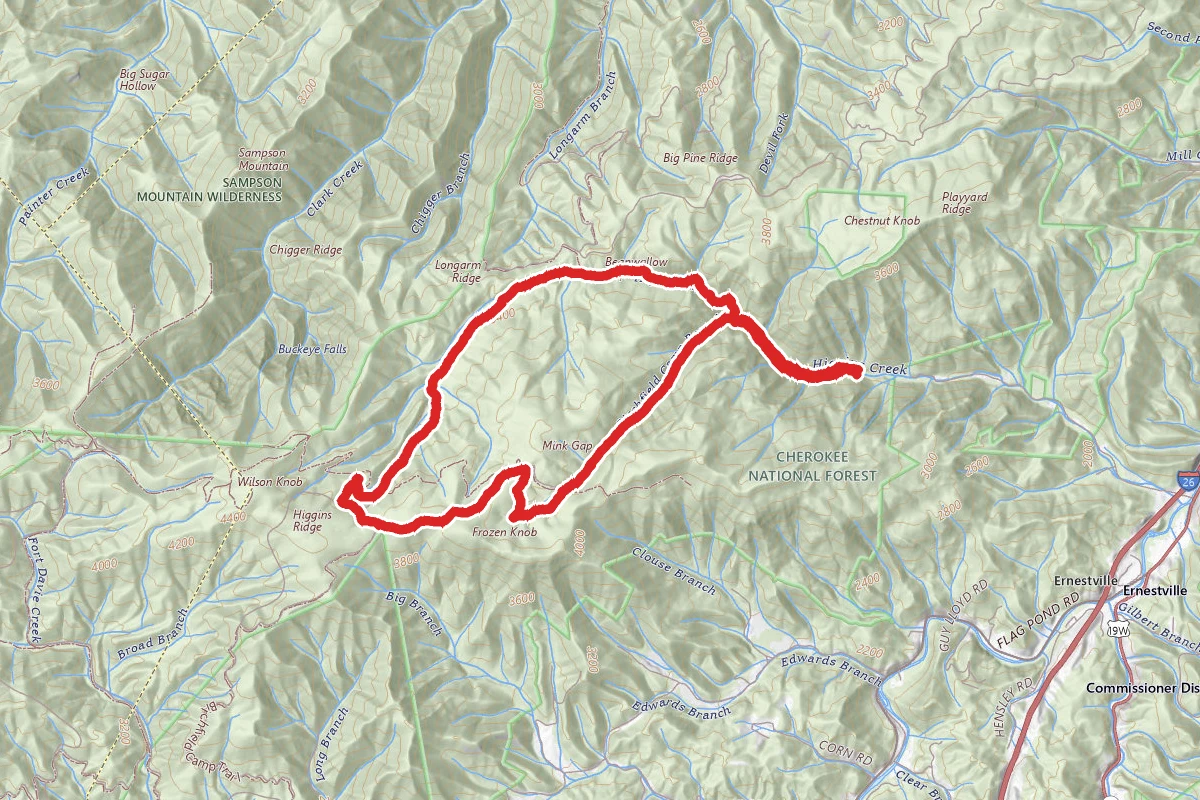
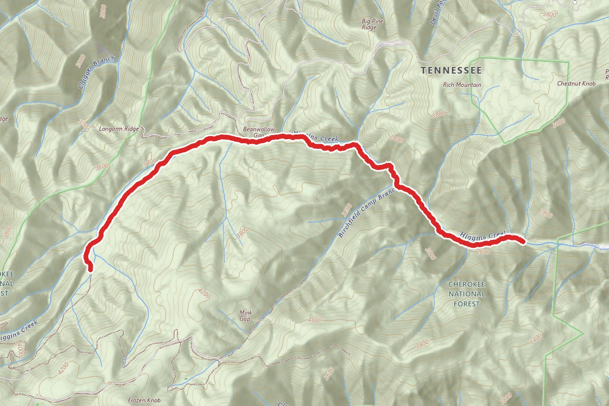
Higgins Creek and Birchfield Camp Lake Loop route map
DifficultLoop

Higgins Creek and Birchfield Camp Lake Loop

Erwin, Tennessee

7.3 mi

Distance

2,382 ft

Elev. Gain

3h 24m

Est. Time

Loop

Route Type

Difficult

Difficulty

About This Trail

Imported description
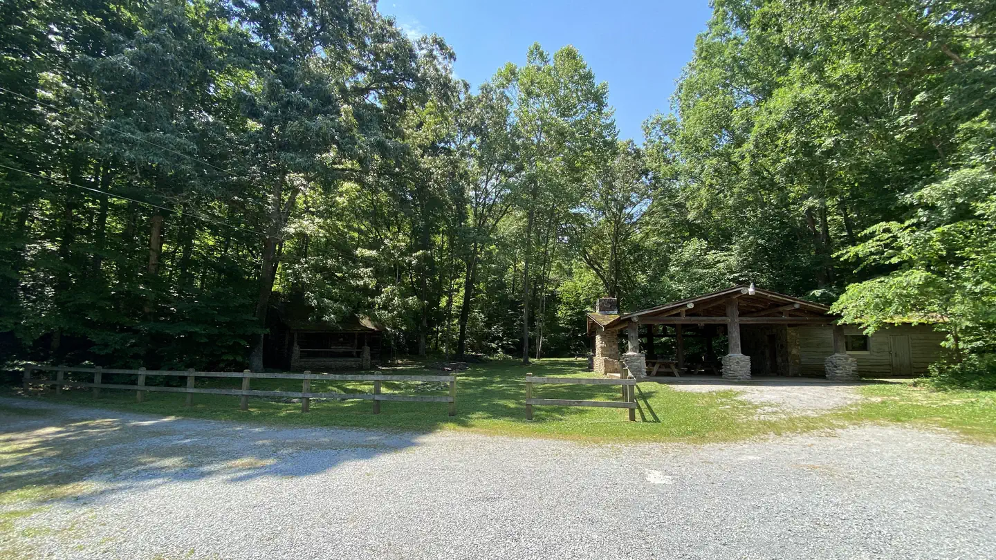
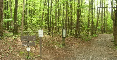
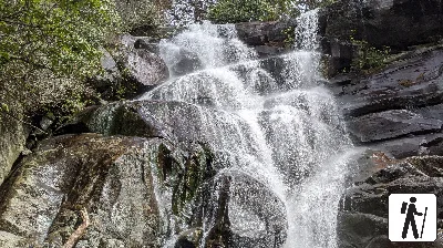
This loop trail is a combination of Higgins Creek Trail and Birchfield Camp Lake Trail. It holds a wide variety of unique features including higgins falls and the remnants of Birchfield Camp Lake. Expect to enjoy a wide variety of forest types, elevation, and over 10 stream crossings within this 7.25 mile hike. Parking is at the end of Higgins Creek Rd. in a rocky, dirt roundabout. Use caution if in a low clearance vehicle. The trail begins behind the gate straight out of the back of the parking lot. It begins by sloping upward to Higgins Falls at mile 0.5. Continue past the falls. At 0.75 miles you will see a marked left turn across the creek to Birchfield lake, continue straight. At about 1.6 miles the trail merges to the left, stay on the path behind the blue gate keeping along with the creek. At 3.4 miles the higgins creek trail terminates into a draw onto a “lower higgins ridge trail”, take a right. [Alternatively at this point, you can take a left which will follow a lower trail to a junction in a saddle at the Birchfield Lake.] Wrap around the finger and take a sharp left onto “Upper Higgins ridge trail”. Continue on “upper higgins trail” for approximately 0.5 mile to a large trail junction on a ridgeline. At this point continue straight towards Frozen Knob and Birchfield Camp Lake. [A right at this junction will take you into Rocky Fork State Park via the Birchfield Camp Lake Route/Trail.] Enjoy the subtle views and wide open hardwoods along this ridgeline. At mile 4.7 you will come to another junction in a saddle. To the left will be the “lower higgins ridge trail”, straight ahead will be a loop which encircles the lake (which is now drained). A left or right will lead you around to the dammed end of the lake. At the dammed end, take the more narrow trail to the left down the ravine back towards Higgins Creek Trail. Shortly after leaving the lake area, you will pass an old rusted truck along Birchfield Camp Branch. This section of the trail is a 1.1 mile steep and rocky stretch that requires crossing the stream several times. Once you connect back to Higgins Creek Trail, take a right back down the hill to the parking area. Overall, the trail is in good condition, but it is moderately rocky and occasionally steep. THIS TRAIL IS LARGELY UNMARKED AND REQUIRES A MAP FOR NAVIGATING. The trails themselves are easy to follow, but the turns are unmarked.

Trail Conditions

Trail Conditions

Unknown

We have no current condition data for this trail. Check with the operator before you go, and submit a report below if you've been recently.

No recent condition reports. Be the first to share what you see on the trail.

Elevation Profile

Min:755 ft
Max:1,305 ft
726 ft
726 ft
755 ft938 ft1,122 ft1,305 ft0.0 mi1.8 mi3.7 mi5.5 mi7.3 mi

Trail Details

Route Type
Loop
Surface
Dirt

Official sources & verification

We don't have curated agency sources for this trail in our cache yet. Outdoors is not the permitting authority — confirm conditions, permits, and access with the managing agency before you go. If you know who manages this trail, please tell us.

Reviews

No reviews yet

Be the first to share your experience and help others plan their visit.

Legacy import — verify before navigating

Path geometry came from our pre-launch legacy database. Routes have not yet been re-verified against the operator and may differ from the actual trail.
Spot an error in our data on Higgins Creek and Birchfield Camp Lake Loop?