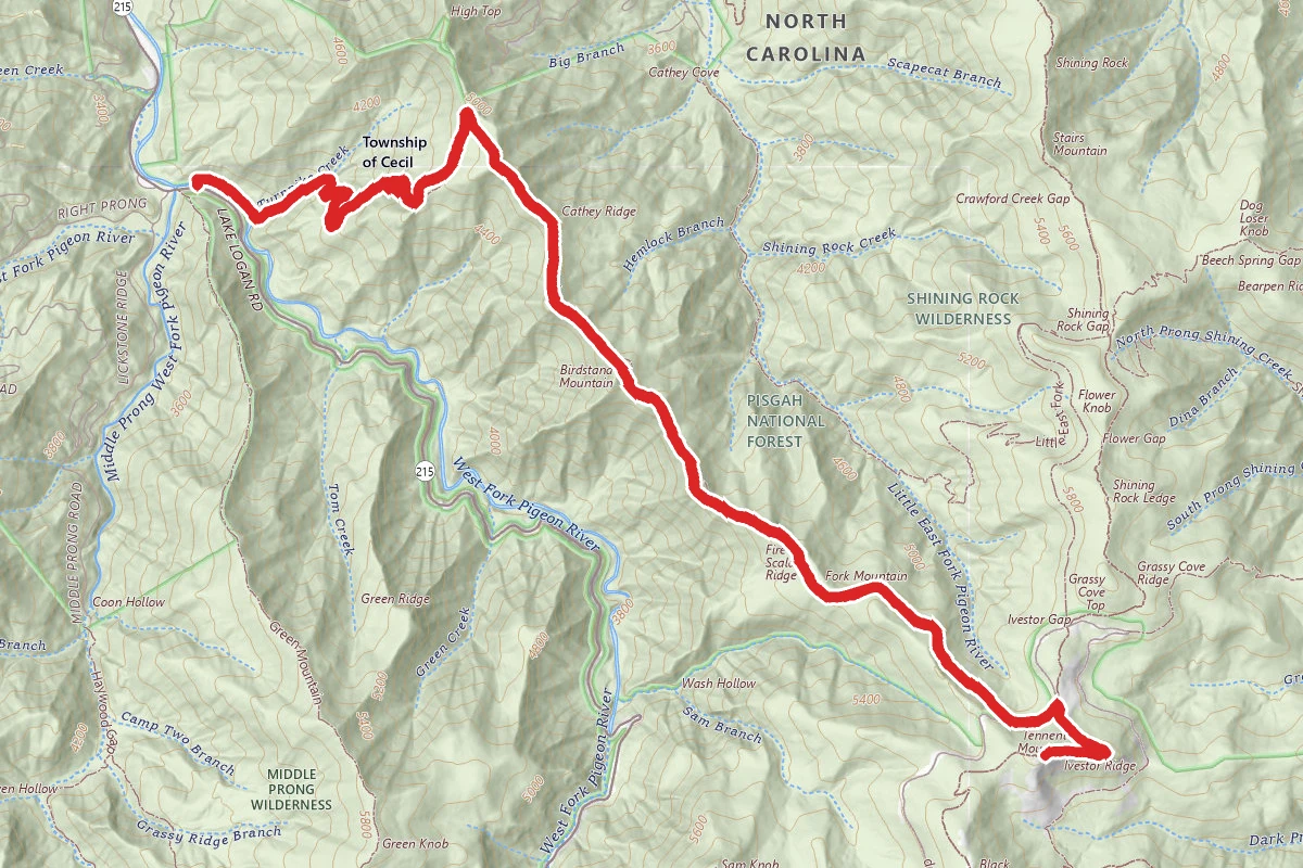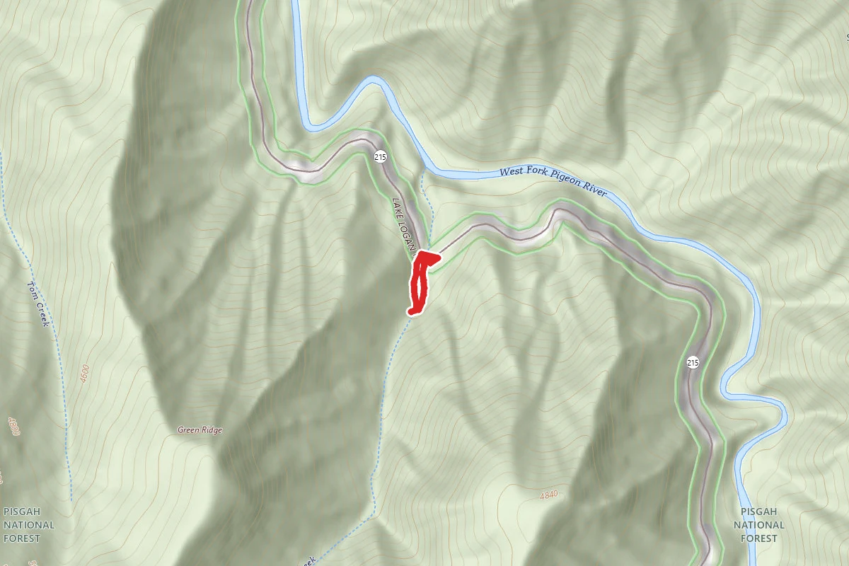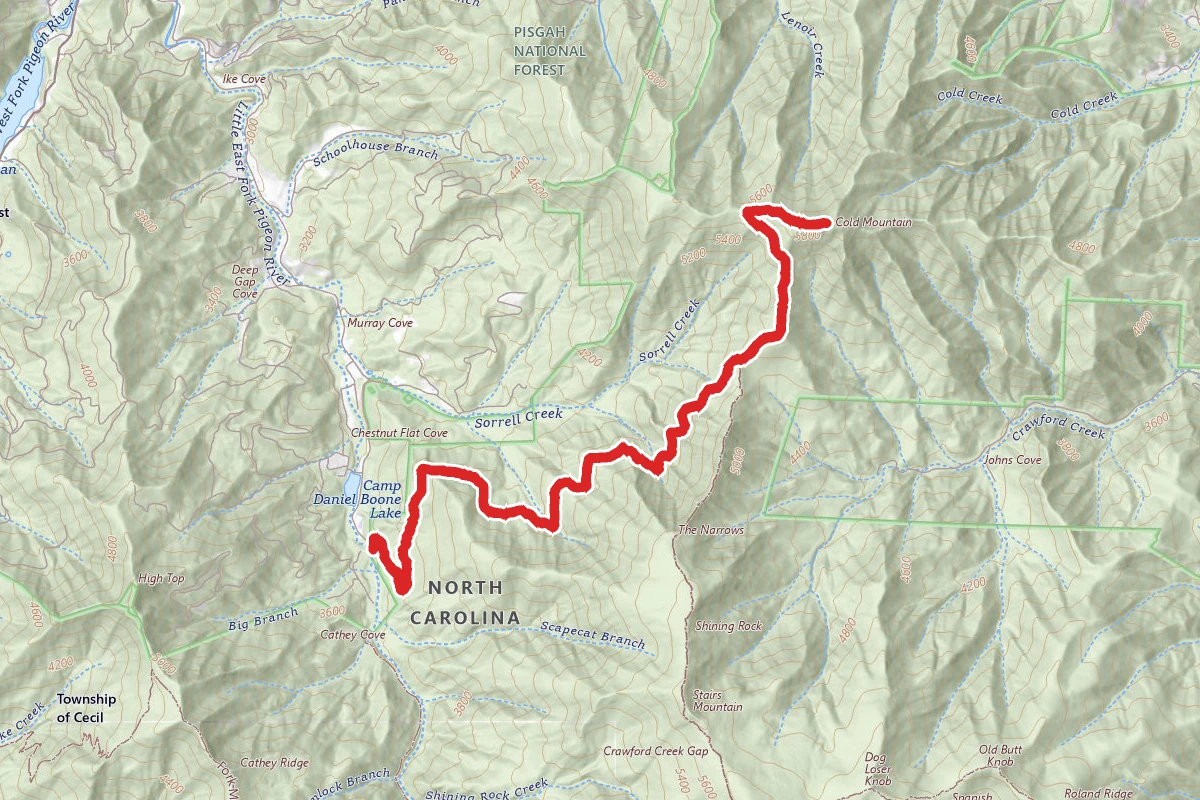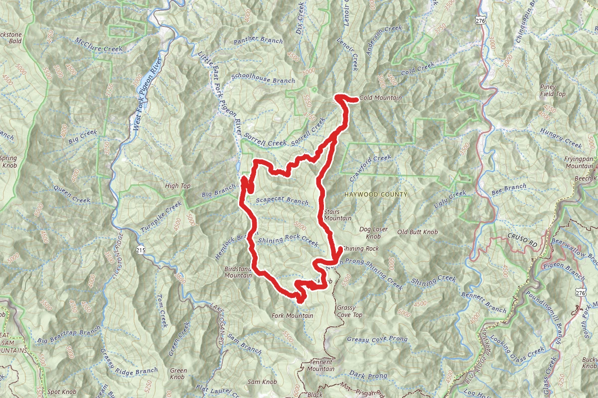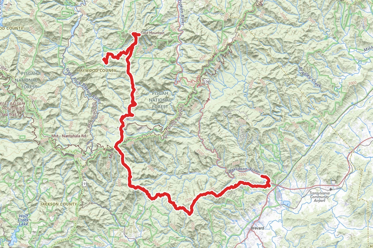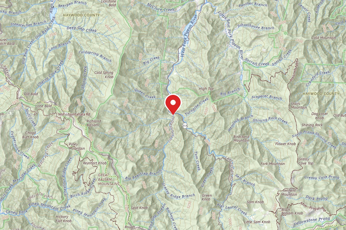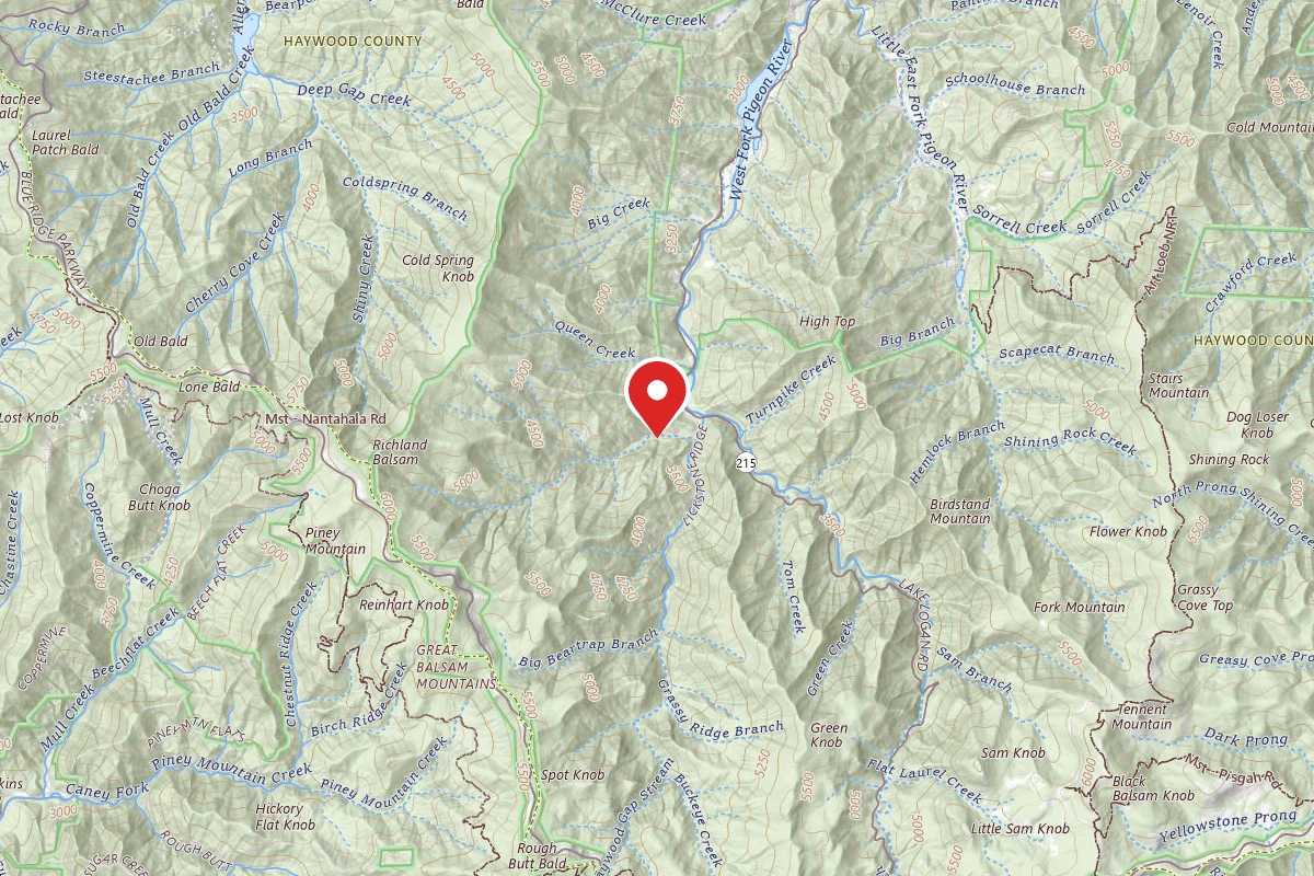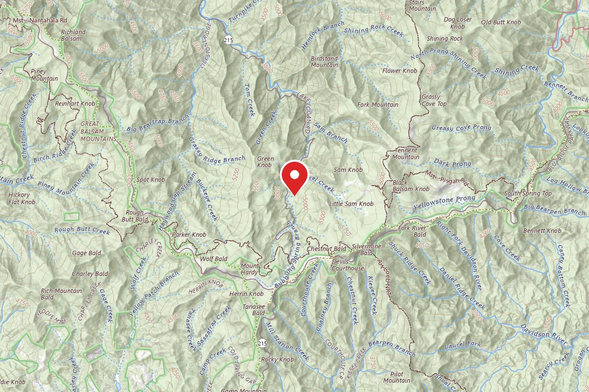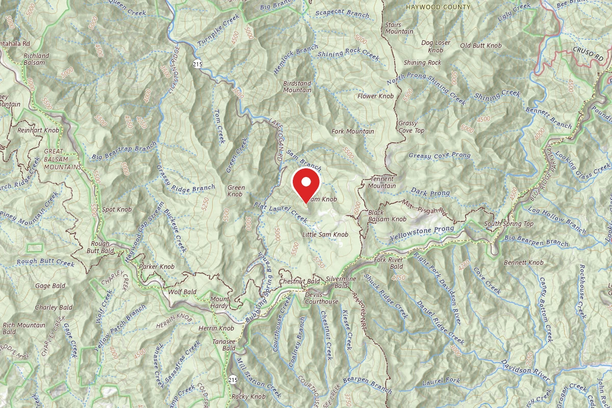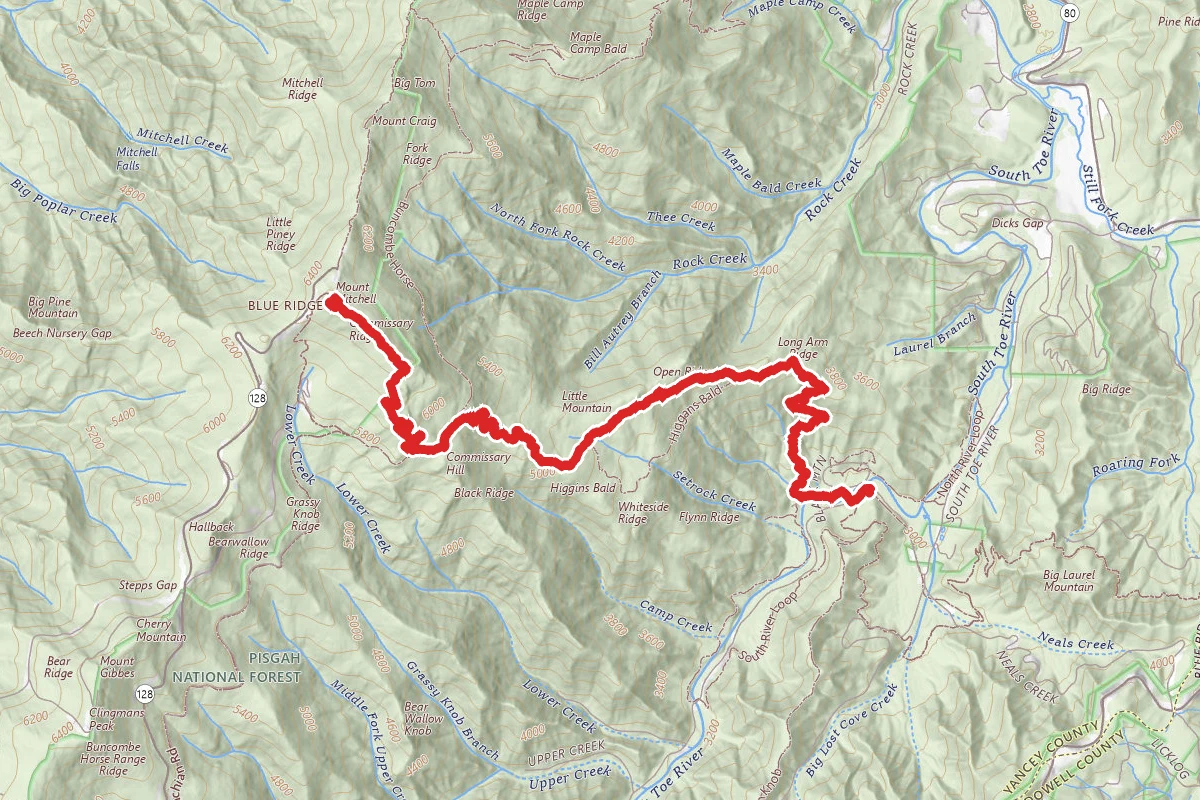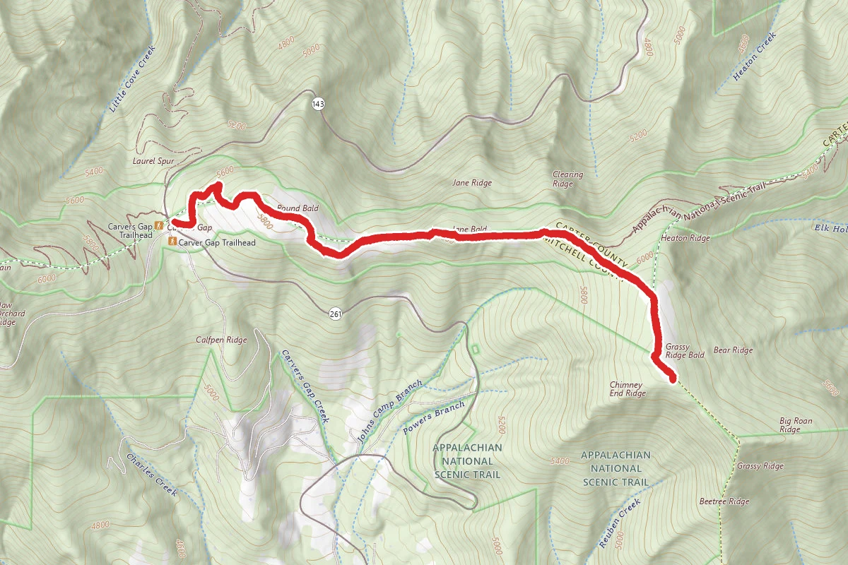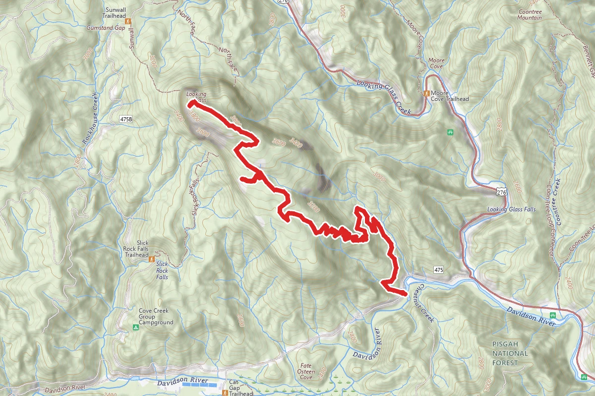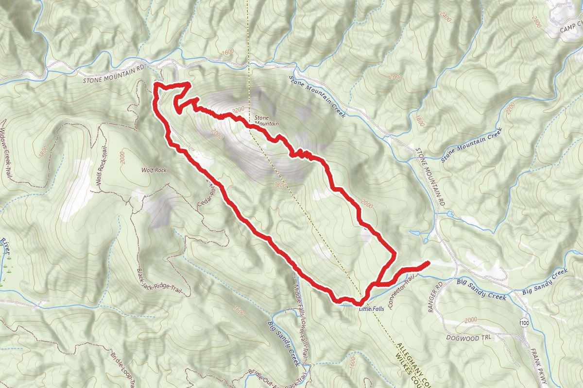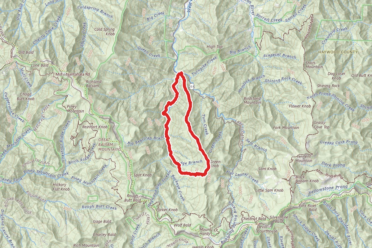
This was a beautiful, remote, and extremely challenging winter dayhike. We began hiking at 7:45 AM and reached our cars 10 hours later as the sun was going down. It was sunny but in the low 30s. Hiking in the winter, the views were expansive and the undergrowth tame. The beginning of this hike, from route 215 up to the summit of Green Knob, is monstrous. The trail climbs 2800 feet in around 3 miles of hiking, but some of it, especially during the first 45 minutes or so, was at an almost comically steep grade. It's not just that the overall trail grade is steep - I've done plenty of hikes, such as the Cabin Trail in Linville Gorge and some of the headwall trails in New Hampshire, that are comparable. The uniquely sadistic challenge here is that the trail has no steps -- it's just an insanely steep ramp covered in a thick bed of leaf litter. So you climb with your feet dorsiflexed as far as they go, stretching your calves out, and you're leaning way over the slope. Thankfully there are enough trees lining the trail to serve as a railing of sorts, and trekking poles help. The first 45 minutes were barbaric, after that the trail reaches some knobs on the ridgeline where there's at least a brief respite before some shorter bursts where the trail just goes straight up again. Hard as it was, having good conditioning makes this quite doable. The challenge was more muscular than cardiovascular. I can't imagine descending it, though, I'd be on my butt sliding down most of the way... There were open views to the northeast of Cold Mountain in the foreground, and amazingly we could see the Smokies in the distance. It took us about 3:15 to reach the summit of Green Knob, where there's an east facing open ledge with stunning views of the Shining Rock Wilderness and the non-Wilderness landmarks to the south. The view looks directly at Sam Knob, with Black Balsam Knob looming behind it. To the south Devil's Courthouse and Chestnut knob were in view, to the north one could easily make out Grassy Cove Top and Shining Rock within the Wilderness. After Green Knob the trail descends a bit, goes over some small subsidiary knobs, and crosses the MST. There is NOT much descent here - the MST is probably at 5700 feet where it meets the Green Mountain Trail, less than 300 feet below the summit of Green Knob - you're really still up on the Fork Ridge crest. From that point we decided to climb Mt. Hardy, a 6000 footer just 300 feet above us. It was decent 1-2 mile round trip hike and mostly a bushwhack. We could barely make out a trail on the way up and couldn't find it at all on the way down. But the winter undergrowth was very tame, and we uneventfully hooked back up with the MST. The Buckeye Gap Trail was a delight for the first stretch, which follows an old logging railroad along the west flank of Fork Ridge. There are old rotting railroad ties, esp in the many springs and rivulets flowing down the ridge. Eventually the trail turns west and just plunges down the hillside. It's steep but not inhuman - except given what our legs felt like by that point in the hike. On Buckeye Gap there were a number of stream crossings, some of which were easy, some took a minute of planning, and some which where challenging, requiring a foot on a stone in the water and a vaulting leap to the other bank. Finally Buckeye Gap ends on the Haywood Gap trail at about 3900 feet. A short hike gets you to a majestic double waterfall, maybe 10-15 feet high, but dramatic. That's the good news. The bad news is from this spot you have to ford the river, maybe 20-30 feet wide, to get to the trail on the other side. My friend shimmied over the river on a fallen tree, which was suspended about 8 feet over a waterfall. I just hiked up my pants legs and walked through the water at what looked like the shallowest point, with boots on and all - I knew I should have brought my water shoes... The water was as cold as one would expect for January at 4000 feet. Actually, despite walking the next 2-3 miles with my feet wet, it felt pretty good as sore as my feet were. Beyond the crossing, the trail is quite easy and eventually comes out on the forest service logging road just after crossing a beautiful two-tiered waterfall. It's possible to bushwhack by some of the long switchbacks on the logging road, which eventually empties out on rt 215 right next to the trailhead. Other than on Mt Hardy the trails were all easy to follow; though GPS helped a lot. The trail conditions were good. Up on top of Fork Ridge there were a number of fallen rhododendrons blocking the trail. There was also quite a bit of deadfall on the lower reaches of Buckeye Gap. This was a nice long loop that I'd recommend for someone looking for a challenge and solitude in a pristine wilderness.
Trail Conditions
Trail Conditions
Unknown
We have no current condition data for this trail. Check with the operator before you go, and submit a report below if you've been recently.
No recent condition reports. Be the first to share what you see on the trail.
We don't have curated agency sources for this trail in our cache yet. Outdoors is not the permitting authority — confirm conditions, permits, and access with the managing agency before you go. If you know who manages this trail, please tell us.
Reviews
No reviews yet
Be the first to share your experience and help others plan their visit.
Legacy import — verify before navigating
Path geometry came from our pre-launch legacy database. Routes have not yet been re-verified against the operator and may differ from the actual trail.