Status unknown — verify before visiting

We don't have current condition data for this trail. Check with the land manager before you go.

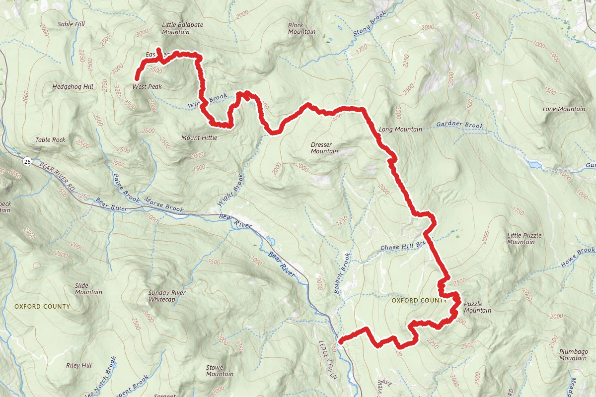
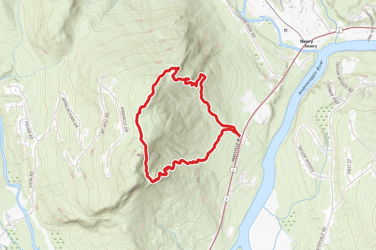
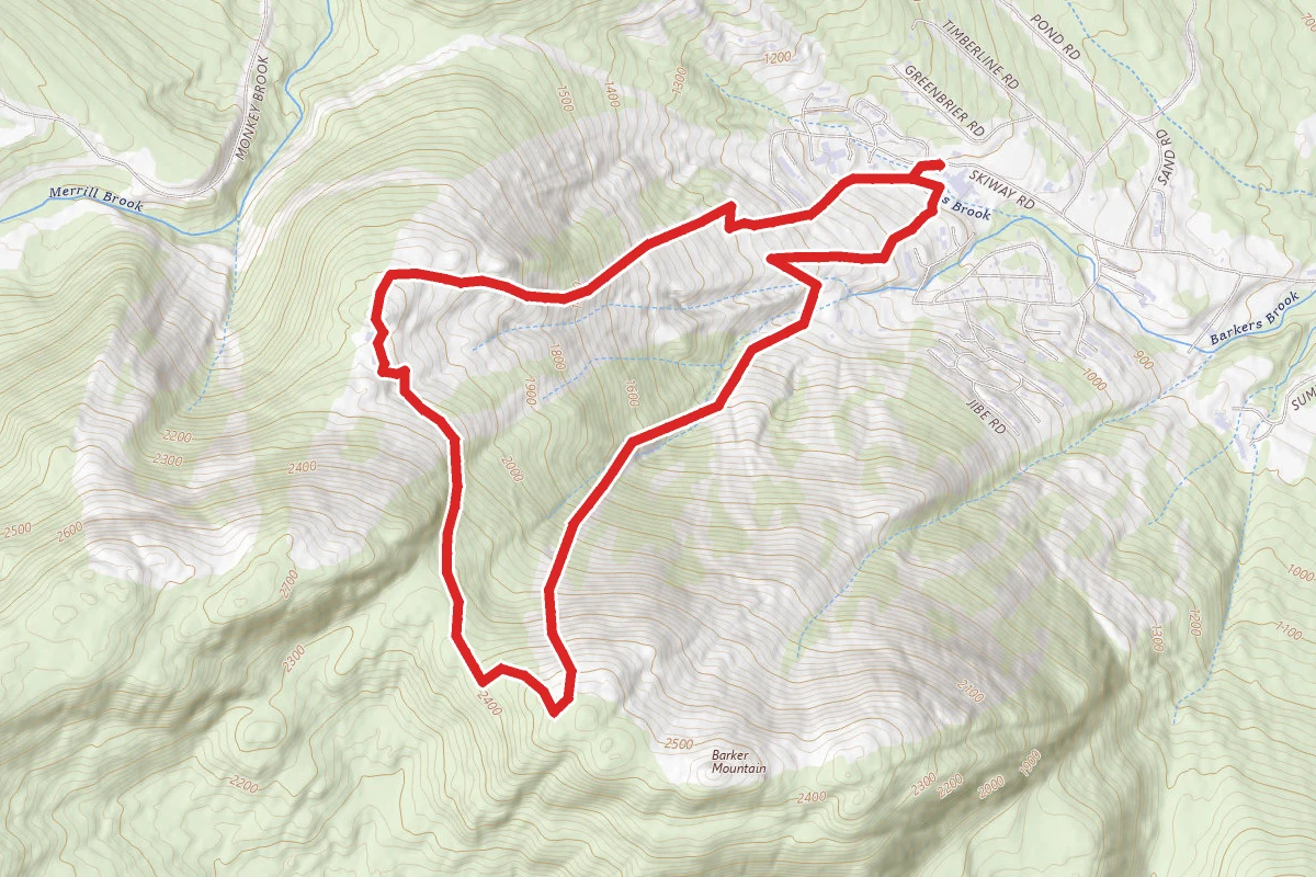
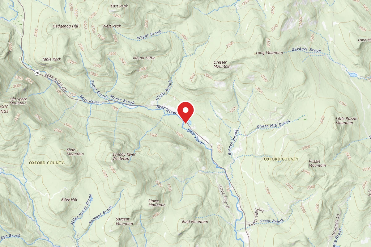
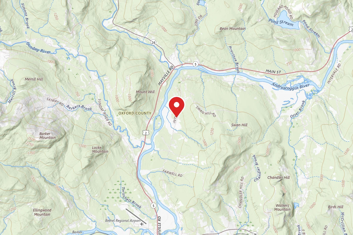
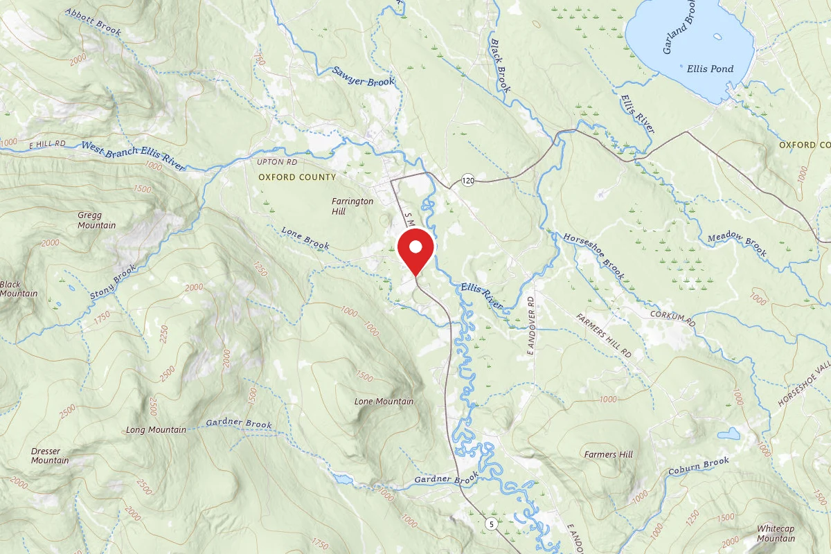
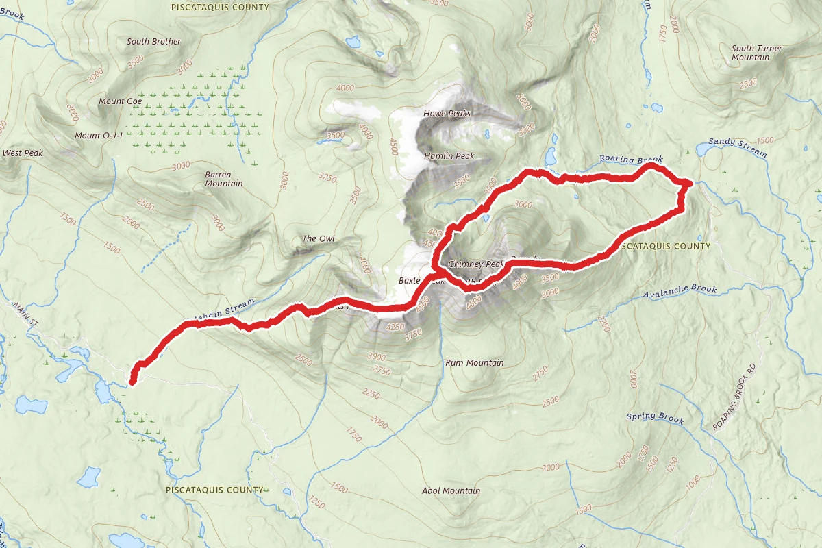
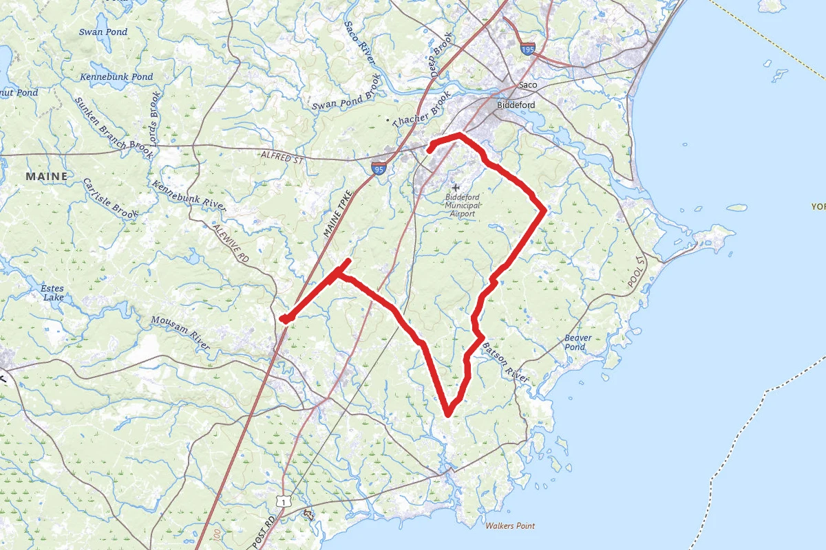
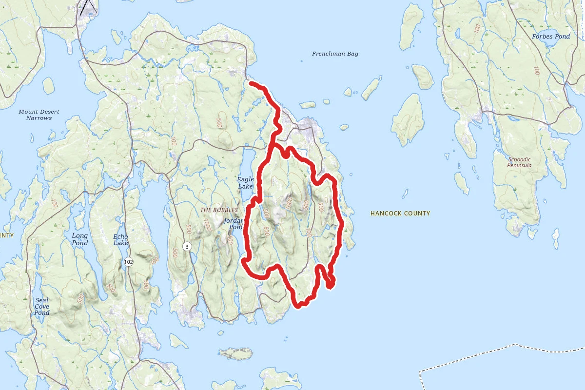
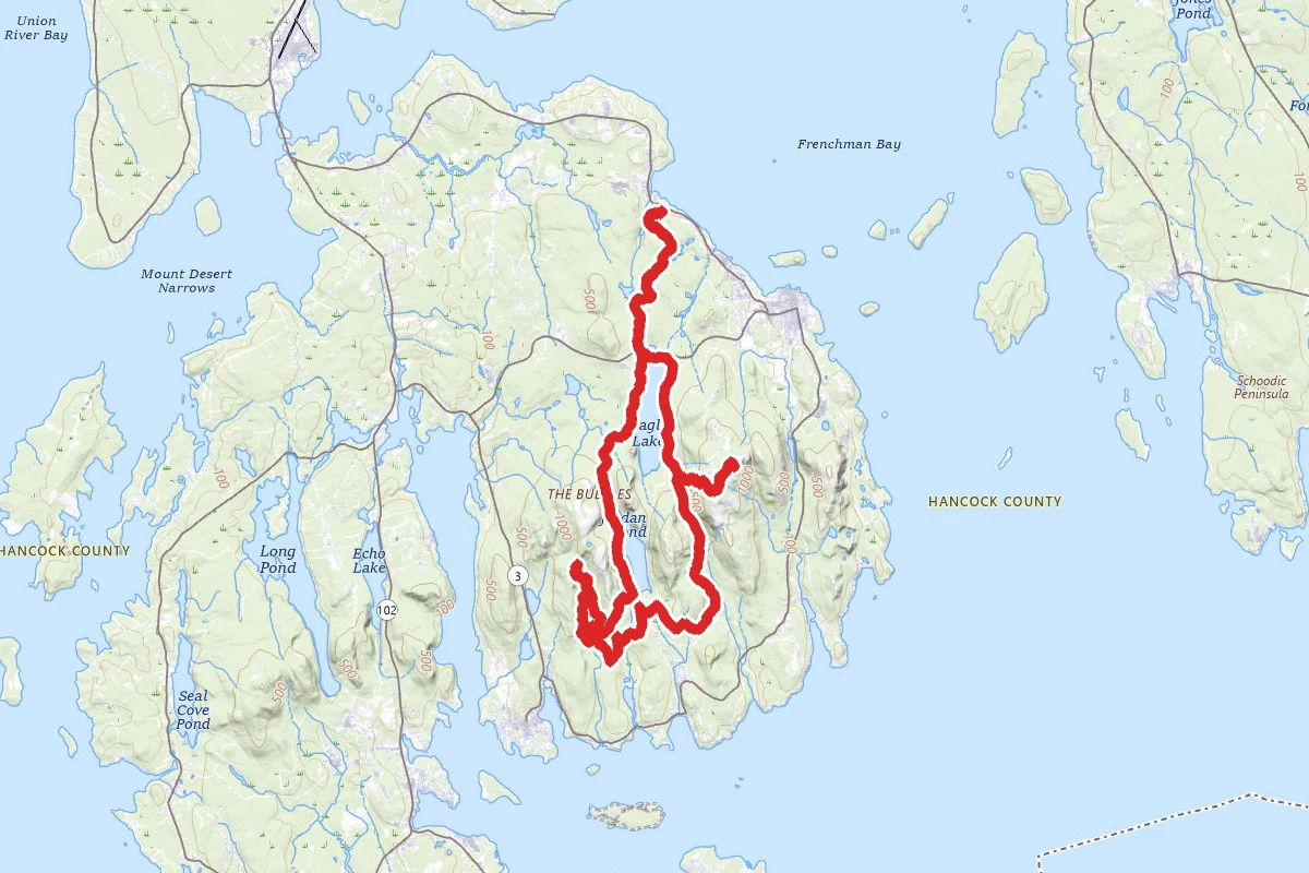
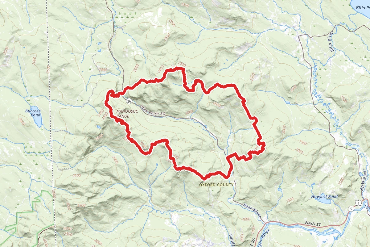
Grafton Notch Trail route map
ExpertLoop

Grafton Notch Trail

Newry, Maine

33.5 mi

Distance

11,686 ft

Elev. Gain

16h 44m

Est. Time

Loop

Route Type

Expert

Difficulty

About This Trail

Imported description
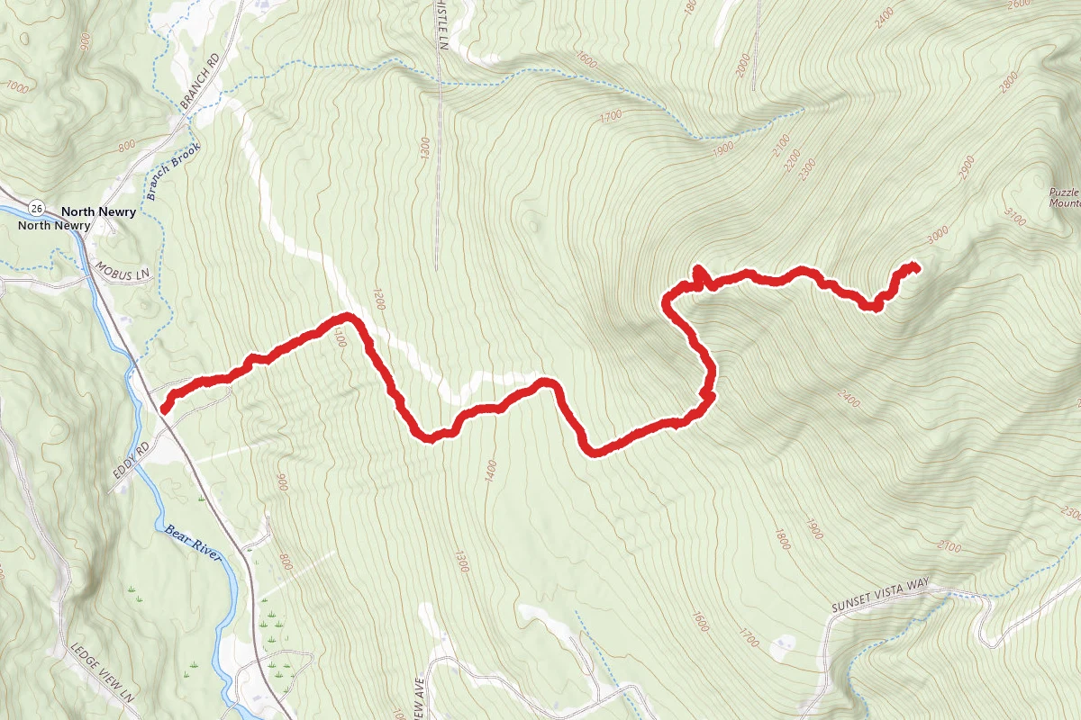
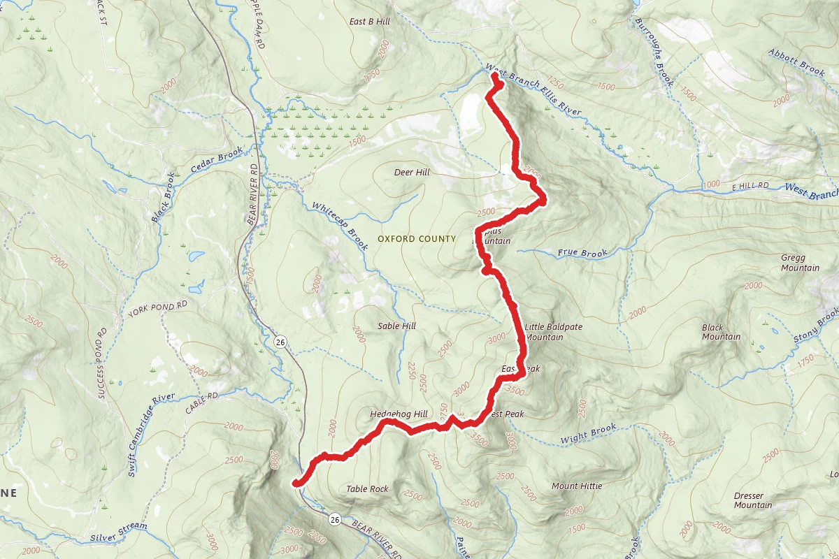
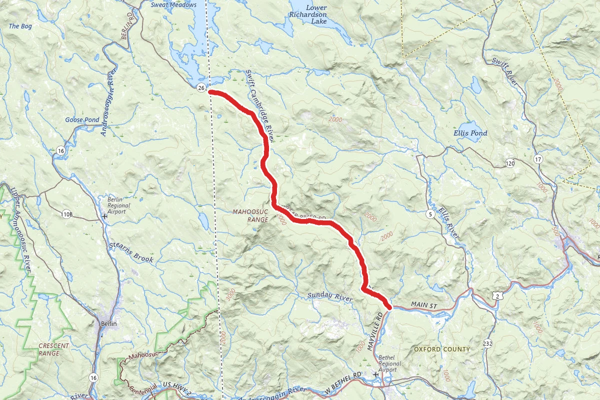
The Grafton Notch/Mahoosuc area encompasses some of Maine’s most spectacular mountain terrain. It has become an increasingly popular destination for hikers and backpackers wishing to hike a loop. It is often used by camp and school groups. The trail is a rugged, remote backcountry trail, much of it on private land. The only camping is at four designated campsites on the eastern section and four on the western section. Water is available at each campsite. From the Grafton Loop Trailhead, the closest campsite on the eastern section is 5 miles from the road, on the other side of 3,000-foot Puzzle Mountain. Please prepare accordingly. Directions to Grafton Loop Trail trailhead: The southern trailhead is located just north of where Eddy Road meets Route 26 in Newry, Maine. From the junction of Route 2 and Route 26, travel North on Route 26 (towards Grafton Notch State Park) 4.7 miles and turn right into a gravel parking area. The trail leaves from the end of this parking area at the sign. Trail directions from the GLT trailhead: Eastern Section to AT parking lot in Grafton Notch: The trail leaves Route 26 and continues 17.1 miles to the summit of East Baldpate where it intersects with the Appalachian Trail. It is 4 miles from there, south on the AT back to Route 26 and the large trailhead parking lot in Grafton Notch State Park. Western Section, to AT parking lot in Grafton Notch The western section of the Trail has been open for use since 2003. It may be accessed from the Grafton Loop trailhead on Rt. 26 by walking south on Route 26 for .5 miles to the trail sign on the road. From here, it heads across a field to a snowmobile bridge across the Bear River. The trail then follows a series of minor peaks before traversing Sunday River Whitecap. Unique trail structures were designed and built on Sunday River Whitecap to protect fragile plants unique to the area. After Sunday River Whitecap, the trail skirts the slide on Slide Mountain, descends slightly into the upper Bull Branch (of the Sunday River) valley, and finally climbs the southern flank of Old Speck to reconnect with the AT. In 2011, a new 1.8-mile side trail off the GLT was opened. The Woodsum Spur traverses the open ledges around the summit of Puzzle before returning to the GLT. If you are interested in helping to maintain the GLT, please contact MATC Baldpate District Overseer Tom Gorrill at woodencanoeboy@gmail.com or (207) 657-4249; or Kim Marion, AMC North Country Volunteer Coordinator at 603-466-2721 X192. This significant trail-building effort was done over a six-year period by members of the Grafton Loop Trail Coalition, which includes the Appalachian Mountain Club, Maine Bureau of Parks and Lands, the Maine Appalachian Trail Club, the Appalachian Trail Conservancy, the Maine Conservation Corps, Hurricane Island Outward Bound School, several timber management companies, Sunday River Ski Resort, and other private landowners. Funding was provided by several private donors and foundations, as well as by the Maine Outdoor Heritage Fund and federal Recreational Trails Program funding. This trail is partially within the 9,993-acre Mahoosuc Ecological Reserve, which, like all Maine State Ecological Reserves, is specifically set aside to protect and monitor natural ecosystems. More information about the reserve can be found at Maine Natural Areas Program’s Ecoreserve Fact Sheet for Mahoosuc Unit. The section of trail over Puzzle Mountain is mostly on land owned by the Mahoosuc Land Trust and permanently protected from development.

Trail Conditions

Trail Conditions

Unknown

We have no current condition data for this trail. Check with the operator before you go, and submit a report below if you've been recently.

No recent condition reports. Be the first to share what you see on the trail.

Elevation Profile

Min:217 ft
Max:1,274 ft
3,562 ft
3,562 ft
217 ft569 ft922 ft1,274 ft0.0 mi8.4 mi16.7 mi25.1 mi33.4 mi

Trail Details

Route Type
Loop
Surface
Dirt

Official sources & verification

We don't have curated agency sources for this trail in our cache yet. Outdoors is not the permitting authority — confirm conditions, permits, and access with the managing agency before you go. If you know who manages this trail, please tell us.

Reviews

No reviews yet

Be the first to share your experience and help others plan their visit.

Legacy import — verify before navigating

Path geometry came from our pre-launch legacy database. Routes have not yet been re-verified against the operator and may differ from the actual trail.

Spot an error in our data on Grafton Notch Trail?