Status unknown — verify before visiting
We don't have current condition data for this trail. Check with the land manager before you go.
10.4 mi
Distance
4,347 ft
Elev. Gain
4h 44m
Est. Time
Out & Back
Route Type
Expert
Difficulty
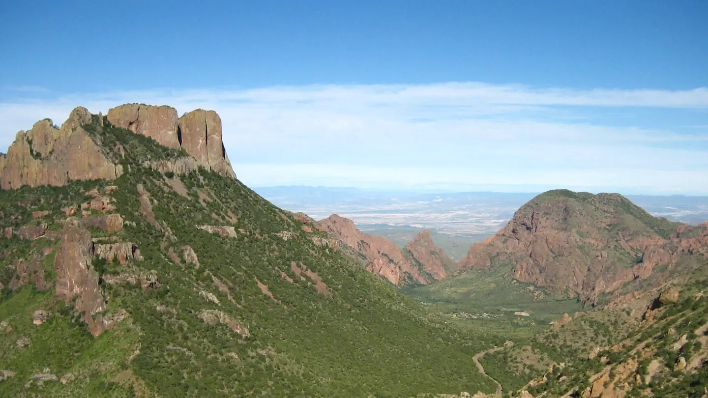
About This Trail
Imported descriptionTrail Conditions
Trail Conditions
We have no current condition data for this trail. Check with the operator before you go, and submit a report below if you've been recently.
No recent condition reports. Be the first to share what you see on the trail.
Elevation Profile
Trail Details
- No dogs
- Kid-friendly
- Route Type
- Out & Back
- Surface
- Dirt
Official sources & verification
Managed by National Park Service
Source of truth
- National Park Service unit page
Alerts, conditions, and the unit's plan-your-visit page.
Verify by phone or mail
- Operator:432-477-2251
- Address:1 Panther Junction · Big Bend National Park, TX · 79834
Reviews
No reviews yet
Be the first to share your experience and help others plan their visit.
Legacy import — verify before navigating
Path geometry came from our pre-launch legacy database. Routes have not yet been re-verified against the operator and may differ from the actual trail.
Nearby Trails
More trails near Emory Peak Trail
In this park
Other trails in Big Bend National Park
Lost Mine Trail
Texas
The Window Trail
Texas
Emory Peak via South Rim Trail and Boot Springs Trail
Texas
Balanced Rock Trail
Texas
Boquillas Canyon Trail
Texas
Big Bend Hot Springs Trail
Texas
Stay nearby
Campgrounds near this trail
 Reservable
Chisos Basin Campground - Big Bend National Park
0.4 mi away · TX
Reservable
Juniper Flats 1
0.5 mi away · TX
Reservable
Toll Mountain (TM1) Campground
1.3 mi away · TX
South Rim 4 Loop Backpacking Site
3.7 mi away · TX
Reservable
Primitive Roadside Campsites— Croton Springs
5.5 mi away · TX
Government Springs (GH1)
5.6 mi away · TX
Similar length
Similar trails in Texas
Riverplace Nature Trail
Texas
Barton Creek Greenbelt Trail
Texas
Lady Bird Lake Trail
Texas
White Rock Lake Trail
Texas
Eagle Mountain Lake Park Trail
Texas
Knob Hill Trail
Texas