Status unknown — verify before visiting

We don't have current condition data for this trail. Check with the land manager before you go.

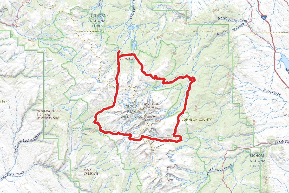
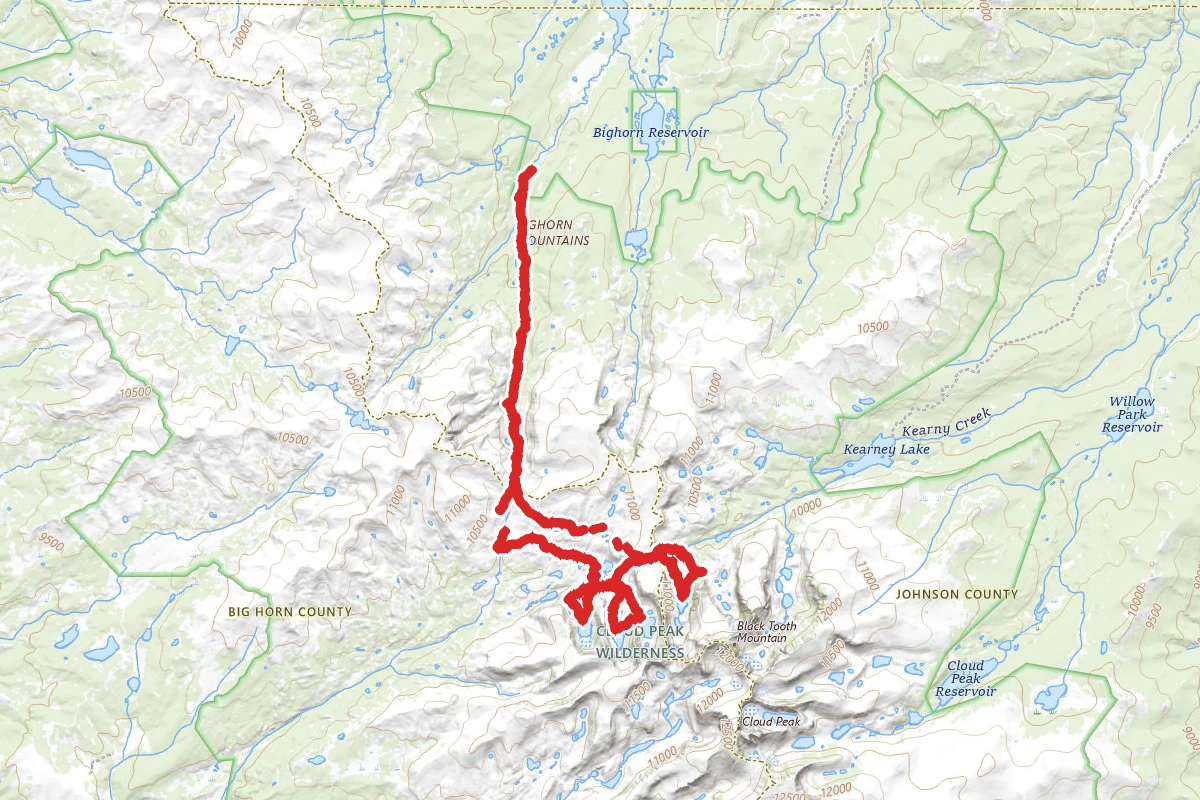
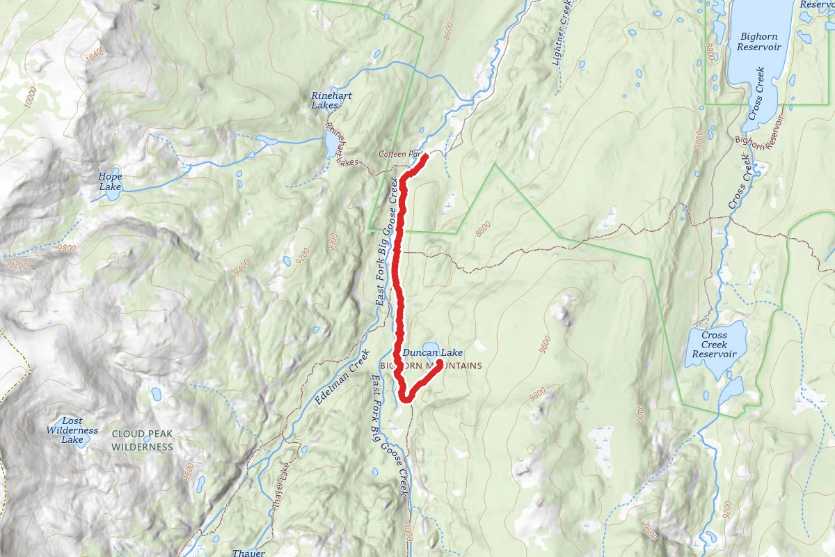
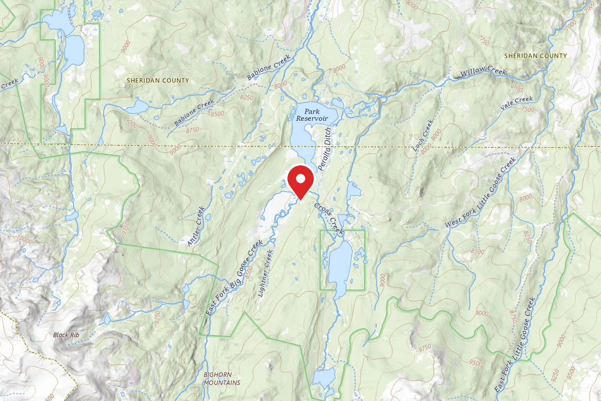
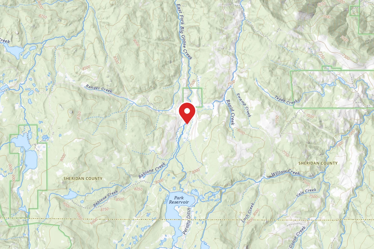
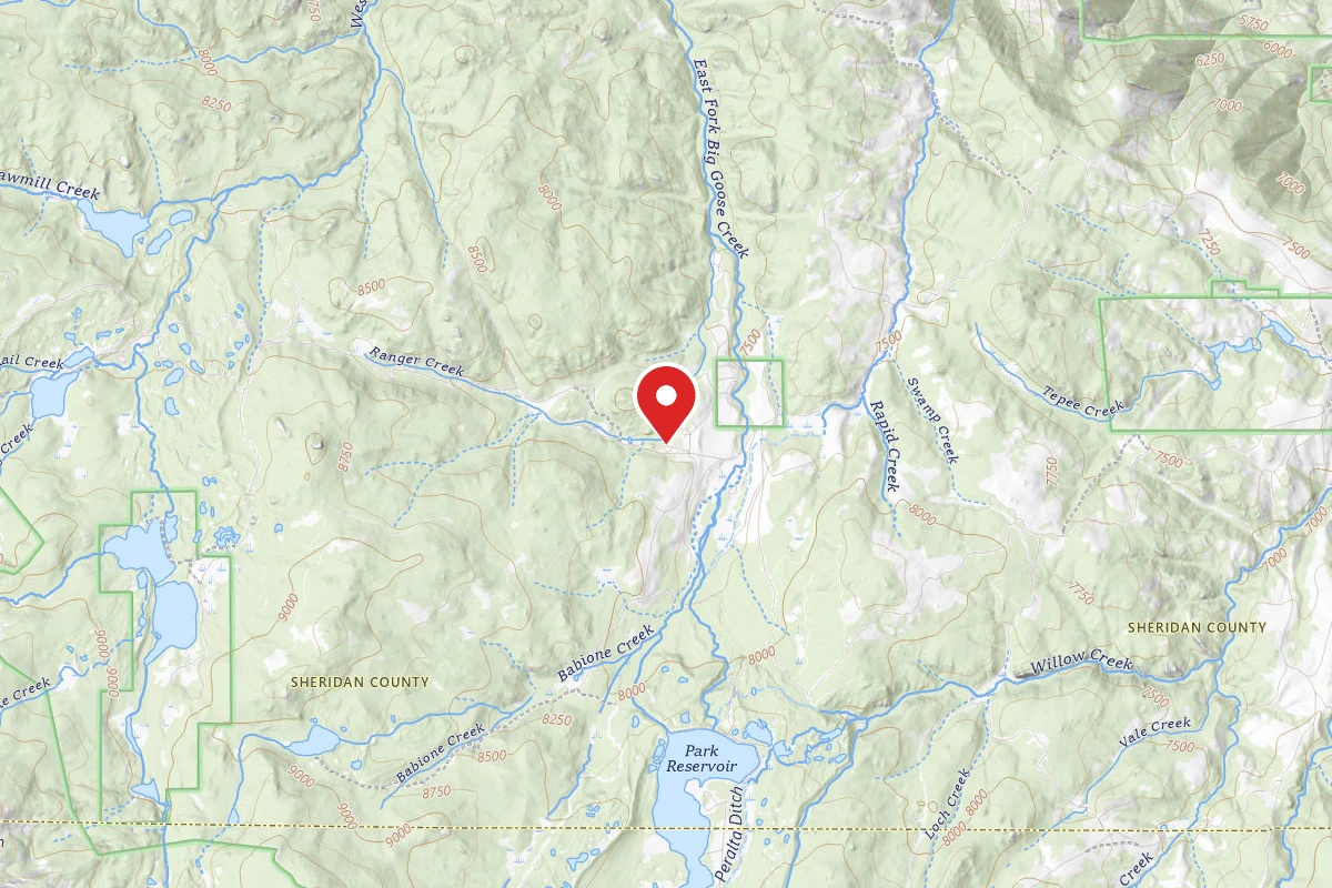
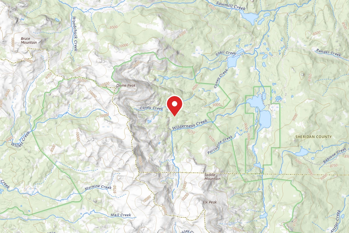
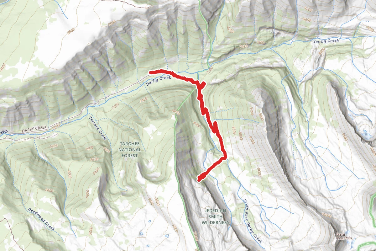
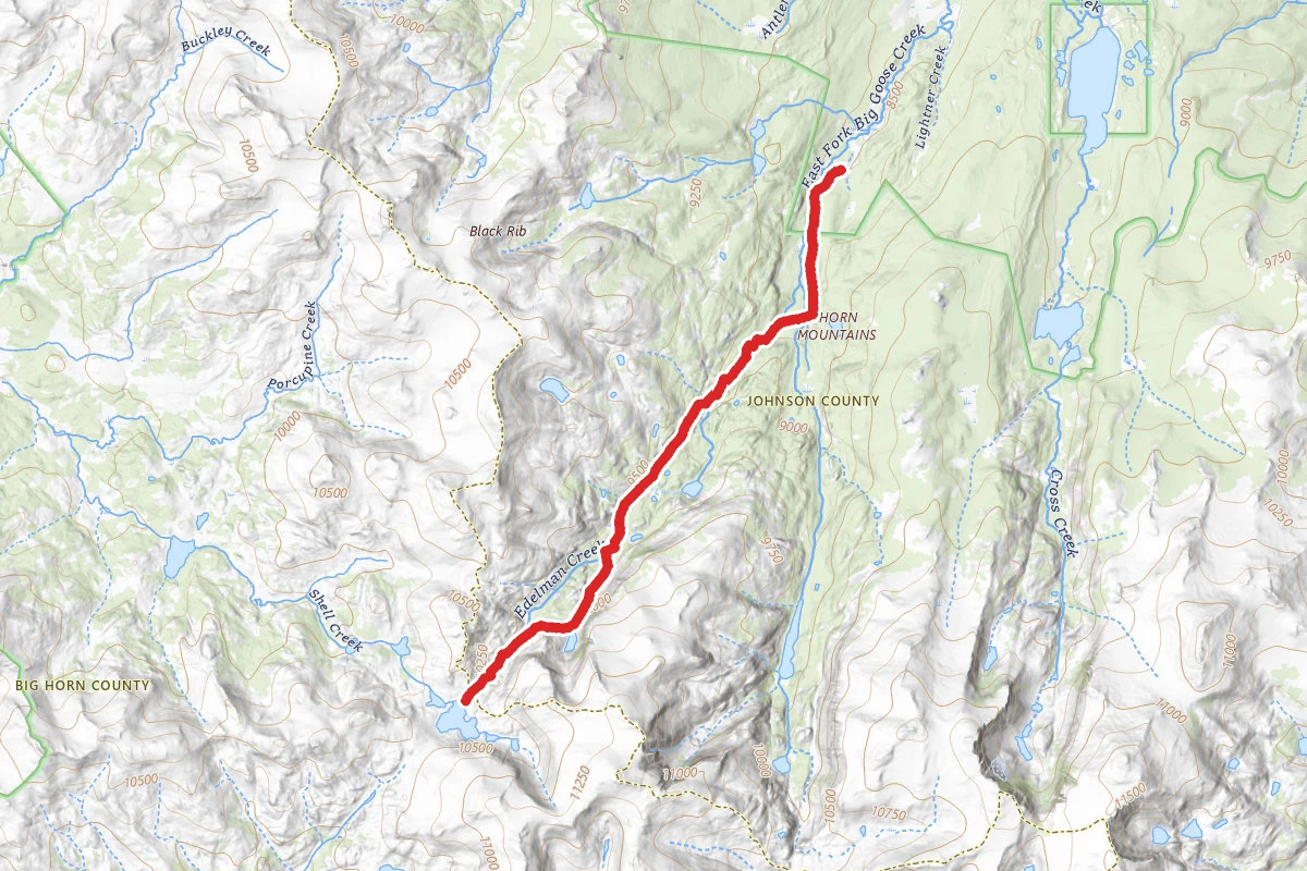
Emerald Lake via Edelman Trail route map
DifficultOut and Back

Emerald Lake via Edelman Trail

Big Horn, Wyoming

11.3 mi

Distance

2,510 ft

Elev. Gain

4h 54m

Est. Time

Out & Back

Route Type

Difficult

Difficulty

About This Trail

Imported description
Starting from the Coffeen Park Trailhead, the Edelman Trail winds its way through a remarkable Wyoming valley. Following, and occasionally crossing small streams and rivers, this trail offers simply remarkable tranquility and solitude. Towering peaks and jagged cliffs provide the backdrop for a section of this hike. Near the end, you walk through a celestially beautiful valley before climbing some 200ft to Emerald Lake. The route is trafficked primarily by backpackers en route to Golden, Emerald, or Shell Lake. The trail may disappear or become difficult to follow periodically due to snow cover and/or low maintenance. A topographic map and foundational trail-finding skills are more than enough for a safe trek. Often, particularly towards the end, the trail is unmistakable. Due to the relative remoteness of the Bighorns and the desire to retain natural scenery, bridges are few and far in between. Trail 025 (Edelman Tr.) crosses Edelman Creek shortly after branching off of Trail 038 (Solitude Tr). The creek requires some care to cross though an individual crossing, but isn't particularly hazardous. There are more occasional small stream crossings throughout the remainder of the hike. The last creek crossing is aided by a bridge, which is peculiar insofar as it appears to be the least demanding crossing. There are many raw campsites near Emerald Lake. Water sources are, obviously, abundant. A mountain to the South, titled "Spear" by USGS Topo, provides an appealing, easy ascent for a layover day. Thunderstorms are common at this location. The fly fishing at this location is unparalleled even by Mead Lake. Emerald Lake is in a group of lakes collectively called "Lakes of the Rough." Any of these lakes should provide ample fishing on a halfway decent day. The trail shown for this route is an out-and-back originating/culminating at Coffeen Park Trailhead. However, the Edelman Trail continues past Emerald Lake down to Upper Medicine Lodge Lake (ends at Paint Rock Lake Trailhead). Either route offers remarkable scenery. One can camp at any of Golden Lakes, Emerald Lake, Shell Lakes, etc. Bring bear spray.

Trail Conditions

Trail Conditions

Unknown

We have no current condition data for this trail. Check with the operator before you go, and submit a report below if you've been recently.

No recent condition reports. Be the first to share what you see on the trail.

Elevation Profile

Min:2,594 ft
Max:3,142 ft
765 ft
765 ft
2,594 ft2,777 ft2,959 ft3,142 ft0.0 mi2.8 mi5.7 mi8.5 mi11.3 mi

Trail Details

Route Type
Out & Back
Surface
Dirt

Official sources & verification

We don't have curated agency sources for this trail in our cache yet. Outdoors is not the permitting authority — confirm conditions, permits, and access with the managing agency before you go. If you know who manages this trail, please tell us.

Reviews

No reviews yet

Be the first to share your experience and help others plan their visit.

Legacy import — verify before navigating

Path geometry came from our pre-launch legacy database. Routes have not yet been re-verified against the operator and may differ from the actual trail.

Hunt context

This trail crosses hunting units

During hunting seasons, wear blaze orange and check regulations — see the Wyoming hunting page

Spot an error in our data on Emerald Lake via Edelman Trail?