Status unknown — verify before visiting

We don't have current condition data for this trail. Check with the land manager before you go.

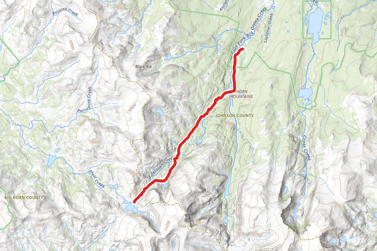
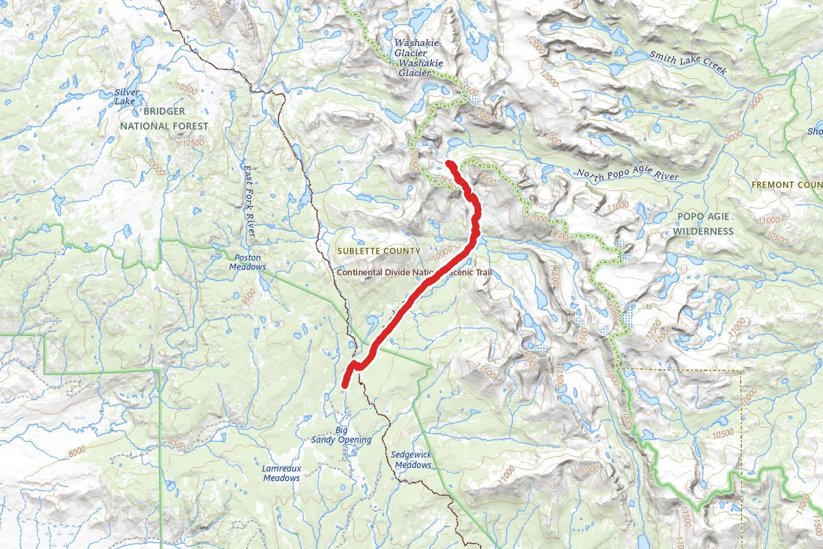
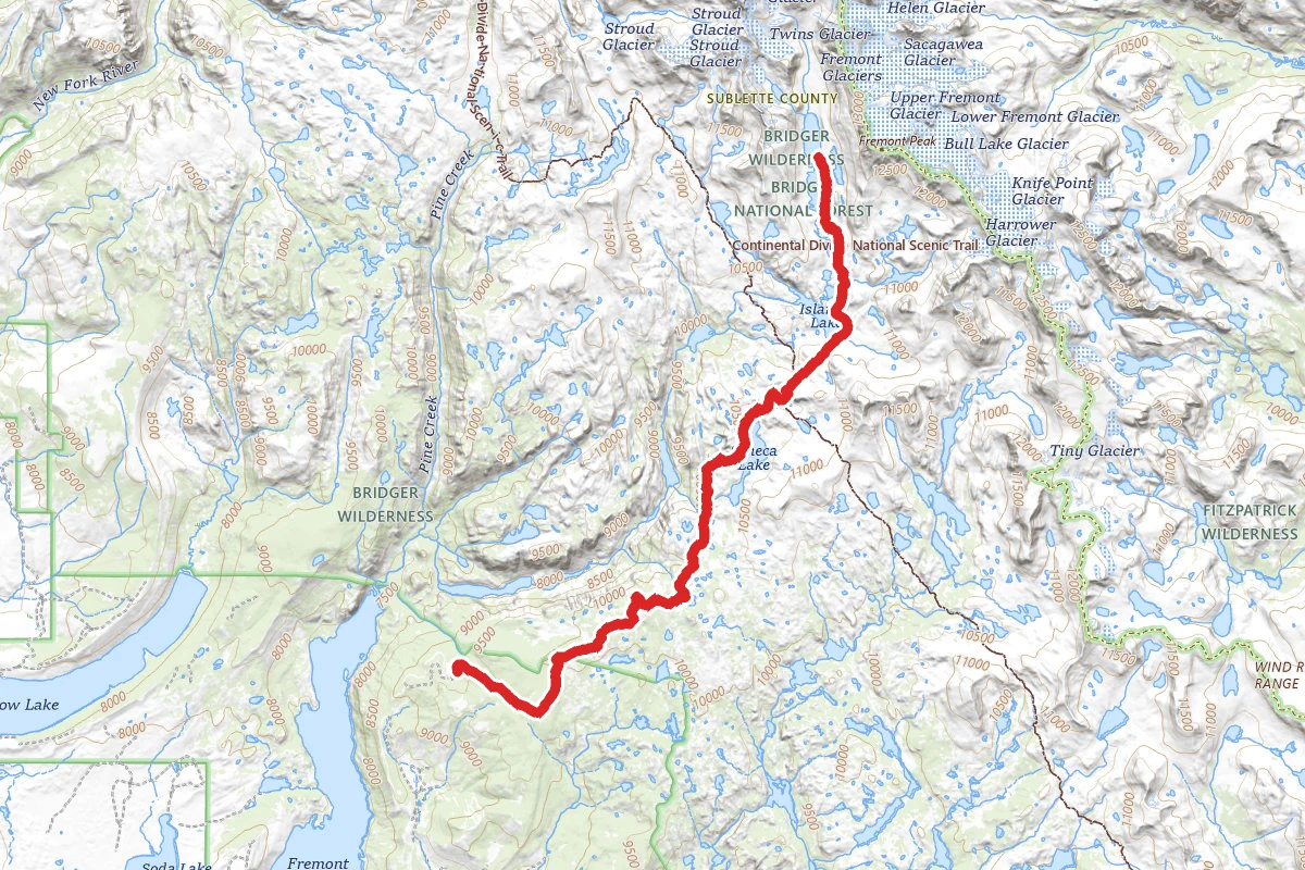
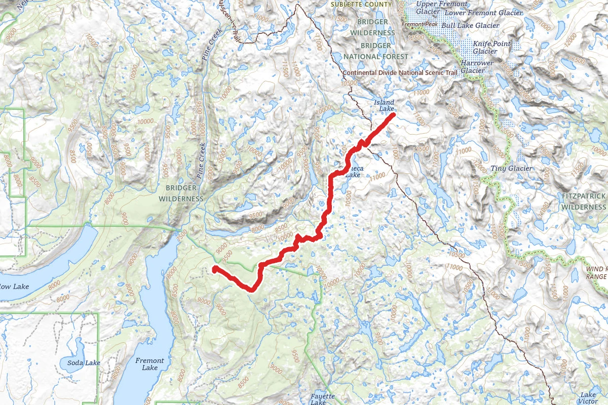
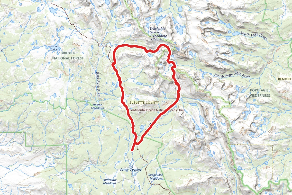
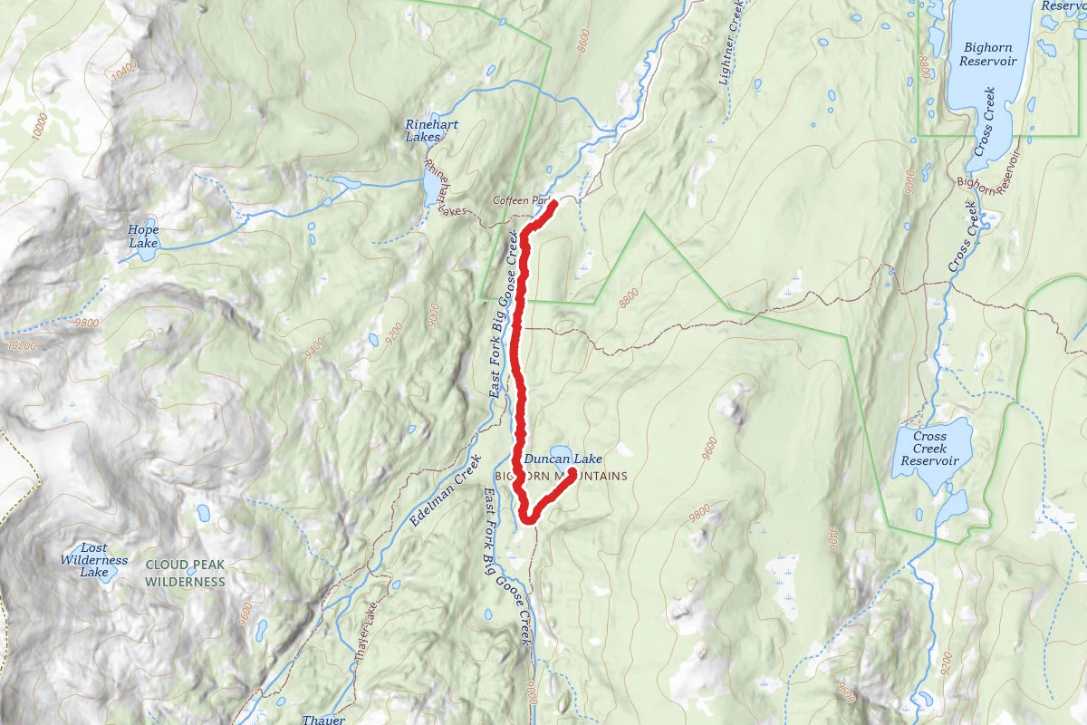
Crater, Pouch, and Loomis Lake via Coffeen Park Trailhead route map
ExpertOut and Back

Crater, Pouch, and Loomis Lake via Coffeen Park Trailhead

Greybull, Wyoming

31.4 mi

Distance

8,773 ft

Elev. Gain

13h 48m

Est. Time

Out & Back

Route Type

Expert

Difficulty

About This Trail

Imported description
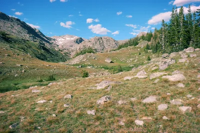
At the trailhead, take Solitude Trail/038 up the draw. You'll be by a river/creek the entire way with good fishing. At mile 4 you'll pass Geneva Lake; the far end of the lake has better camping. Continuing from Geneva Lake, you'll encounter steep switchbacks. Towards the top, 4G LTE is available with Verizon. From there, you'll descend to Crystal Lake which is in heavy blowdown and has very limited camping. Continuing up toward the pass, you'll come across a beautiful meadow, cross the creek, and then climb the rocky pass; an old mine is to the left and up a hill. It's worth a look. Cross the creek a last time and summit the pass; you'll be looking down on Robin Lake. Camping is plentiful. Follow the trail until it intersects with the Crater Lake/Elsa Loop trail; alternatively, orienteer via the provided route to avoid elevation gain and see Rainbow and other lakes. Explore the lakes in this area to your heart's content. Pouch Lakes (unnamed on most maps) have great fishing, as do the Crater Lakes. Limited camping exists in the cirques. From the unnamed lakes (Pouch), orienteer to the pass seen on the map; it separates the east and west drainages of the Cloud Peak Wilderness. Climb the pass, which is very steep but doable, and find a few, small ponds and wetlands at the top; camping is available here without much trouble, but expect wind. Once looking down on Spear Lake and the Kearny Reservoir, follow the cliffs to the left/north. Descend via the GPS route to a small slot; if there is no snow, this is a fun scramble without too much actual "exposure," though falling down could still seriously injure or kill you, so be careful. A small rivulet of water tends to be present, so watch your drip. Maximum vertical fall height is probably only 7 feet at a time, but you could do that multiple times if you take it wrong. (I found a deceased creature at the bottom which didn't make it.) From the base of the chute, descend to the very base of the cliffs (or you will be cliffed out), and then follow the rock piles to the south, climbing towards Loomis Lake. You'll see a beautiful waterfall/slide. You can return via the eastern side of the lake with a descent to the creek below, but do not attempt to keep high to reach Bard Lake; it's impossible without descending nearly all the way down. Exit the drainage and go back over the pass; shoot the gap to the north between the two high points and follow the grassy ramps (where able) back down to some unnamed lakes, then cross a few creeks and view Rainbow Lake. Follow the creeks leading into the lake upward; eventually you'll be looking down at a creek which flows the other way. Follow it until the contour lines are about level with the pass, then follow those contours. You'll find a use trail that folks use to get between the pass and Rainbow Lake. Exit via trail 038.

Trail Conditions

Trail Conditions

Unknown

We have no current condition data for this trail. Check with the operator before you go, and submit a report below if you've been recently.

No recent condition reports. Be the first to share what you see on the trail.

Elevation Profile

Min:2,594 ft
Max:3,358 ft
2,674 ft
2,674 ft
2,594 ft2,849 ft3,103 ft3,358 ft0.0 mi7.8 mi15.7 mi23.5 mi31.4 mi

Trail Details

Route Type
Out & Back
Surface
Dirt

Official sources & verification

We don't have curated agency sources for this trail in our cache yet. Outdoors is not the permitting authority — confirm conditions, permits, and access with the managing agency before you go. If you know who manages this trail, please tell us.

Reviews

No reviews yet

Be the first to share your experience and help others plan their visit.

Legacy import — verify before navigating

Path geometry came from our pre-launch legacy database. Routes have not yet been re-verified against the operator and may differ from the actual trail.
Hunt context

This trail crosses hunting units

During hunting seasons, wear blaze orange and check regulations — see the Wyoming hunting page

Spot an error in our data on Crater, Pouch, and Loomis Lake via Coffeen Park Trailhead?