Status unknown — verify before visiting

We don't have current condition data for this trail. Check with the land manager before you go.

East Spanish Peak
DifficultOut and Back

East Spanish Peak

Weston, Colorado

8.8 mi

Distance

3,497 ft

Elev. Gain

4h 33m

Est. Time

Out & Back

Route Type

Difficult

Difficulty

About This Trail

Imported description
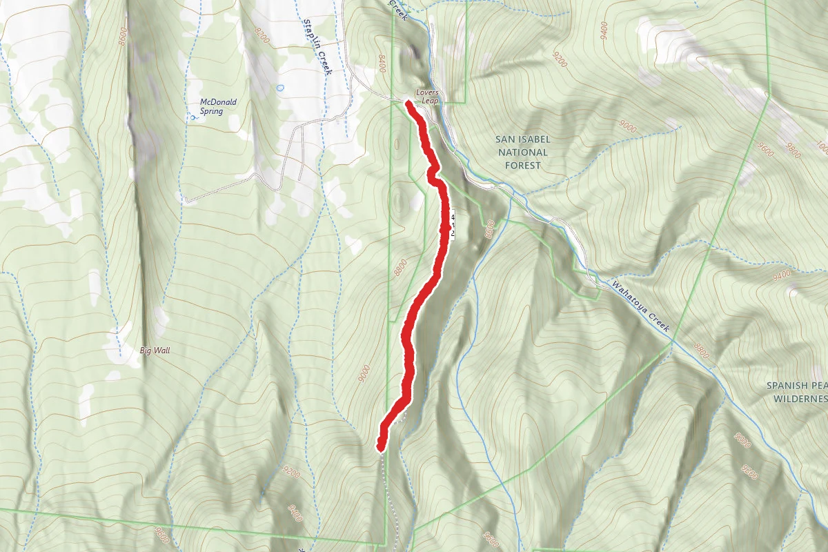
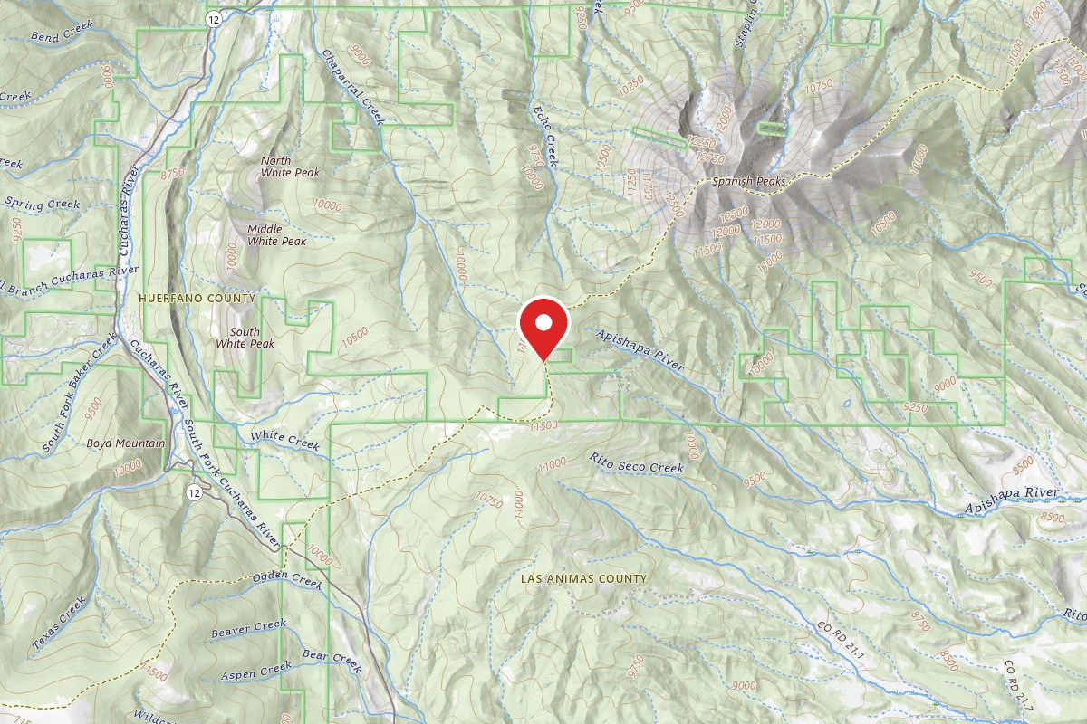
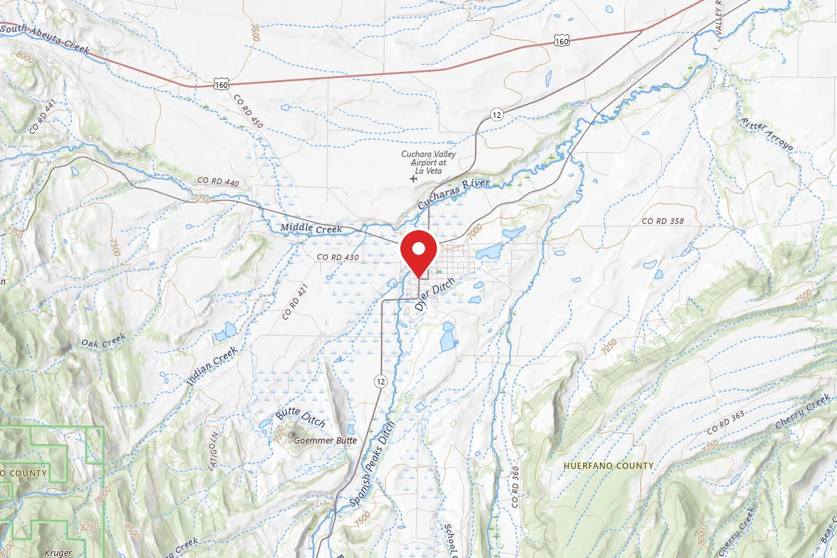
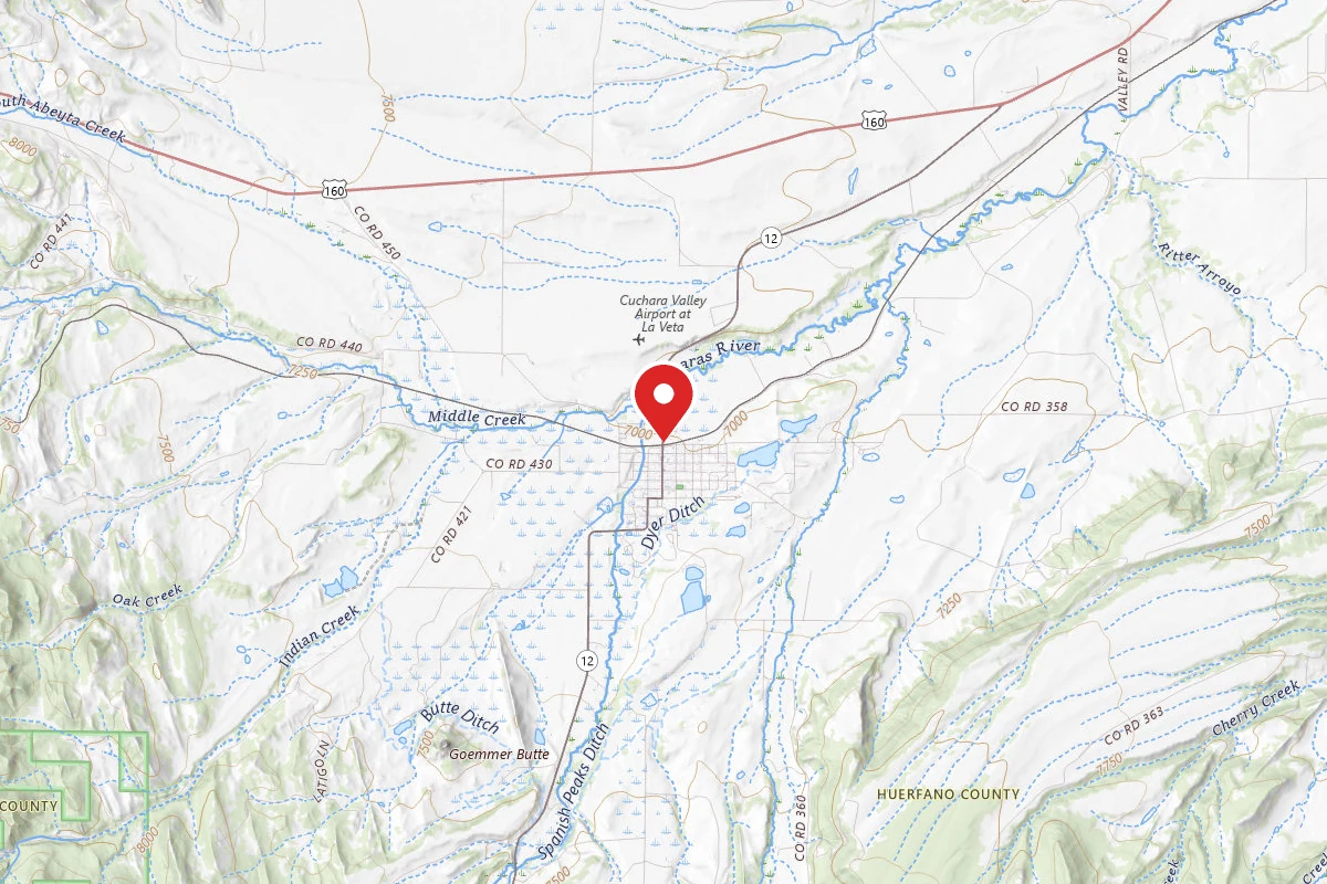
East Spanish Peak is not as high nor as steep as West Spanish Peak but it is a much longer slog starting from the upper trailhead on East Spanish versus the Cordova Pass for West Spanish with a slightly greater elevation gain. If starting from the lower trailhead count on another 2-3 hours and another 1500 feet in elevation gain. From the lower trailhead this is a really long slog and even those young and in good shape will not be able to climb anything else that day (such as West Spanish) as there will not be time.   The East Spanish trailhead is found by starting in La Veta. Go one block east of 160/Main Street, a dirt road name Birch and take that dirt road south, out of town. After passing two lakes on your right, just a mile or two out of town, you will take the first left. After a mile or two you continue on that road as it curves sharply right (it looks like a right turnoff and if you go straight you will run into a dead end). Keep on this road. After a few more miles you will go over a small bridge, then you will pass a sign saying "dead end". At this point you are almost there. Another quarter mile or so and you will find a wide portion of the road and on the right a small, poorly marked entrance to a jeep trail called Wahatoya trail. This is the lower trailhead. The elevation at this point is around 8400. If you have trail tires and 4WD you can take this jeep road up to the upper trailhead, elevation 9900 feet. Otherwise you will need to park and walk up. Count on a little over an hour to get to the upper trailhead, where there is is a parking lot.   The trail at this point is pretty clear and fairly flat. Your goal at this point is to get to a saddle where you break off from the main trail and turn left, to east Spanish. You turn left at the high point of this trail. There is a pole sticking out of the ground at this point. [If you go too far you will find yourself on the trail going downhill.] Assuming you turned left at the post, you will be heading slightly downhill with a very steep hill facing you in the distance, There are cairns, but it is not essential to follow them. You are walking on the saddle whose sides are narrowing as your progress, so you can't go far off the poorly marked trail as you head SE. The key, when you start up the steep rise is to find the very well marked path with switchbacks. It is well marked, but because it is in the trees you might be 300 yards away and not see it. If you don't take the switchbacked path it is a very steep slog straight up the hill which you will not want to do unless you like holding on to roots and branches. Finding the switchbacked path at this point is very helpful and only requires going left or right a few hundred yards. Once you scale this hill, going from about 10400 to slightly over 11000, the rest is pretty straightforward but lengthy, with the last few hours going up rocks, but larger rocks that are more stable than West Spanish. It is not clear that there is a path here, but much of it is on the ridge winding up to the peak and is easy to plot.

From Wikipedia

East Spanish Peak is a prominent mountain summit that is the lower of the two Spanish Peaks in the Rocky Mountains of North America. The 12,688-foot (3,867 m) peak is located in the Spanish Peaks Wilderness of San Isabel National Forest, 9.3 miles (14.9 km) southeast by south of the Town of La Veta, Colorado, United States, on the drainage divide between Huerfano and Las Animas counties. The Spanish Peaks are two large igneous stocks which form an eastern outlier of the Culebra Range, a subrange of the Sangre de Cristo Mountains. East Spanish Peak is higher than any point in the United States east of its longitude; it is also the easternmost point in the United States over 12,000 feet (3,700 m), 11,000 feet (3,400 m), and 10,000 feet (3,000 m) feet above sea level.

Source: Wikipedia — text licensed CC BY-SA 4.0. Verify trail conditions and seasonal closures with the managing agency before you go.

Trail Conditions

Trail Conditions

Unknown

We have no current condition data for this trail. Check with the operator before you go, and submit a report below if you've been recently.

No recent condition reports. Be the first to share what you see on the trail.

Elevation Profile

Min:3,005 ft
Max:3,850 ft
1,066 ft
1,066 ft
3,005 ft3,287 ft3,568 ft3,850 ft0.0 mi2.2 mi4.4 mi6.6 mi8.8 mi

Trail Details

Route Type
Out & Back
Surface
Dirt

Official sources & verification

Managed by United States Forest Service

Verify before you go

Managing agency

Verify by phone or mail

  • Address:CO
We display cached information from agency feeds. Hours, fees, permits, closures, fire restrictions, and conditions change without notice. Outdoors is not the permitting authority. Confirm current conditions for this trail using the links above before you go — you are responsible for compliance. Last verified by us: May 23, 2026. Our copy is more than a month old — please reconfirm with the agency before relying on it.Spot an error in our data?

Reviews

No reviews yet

Be the first to share your experience and help others plan their visit.

Legacy import — verify before navigating

Path geometry came from our pre-launch legacy database. Routes have not yet been re-verified against the operator and may differ from the actual trail.

Hunt context

This trail crosses hunting unit

During hunting seasons, wear blaze orange and check regulations — see the Colorado hunting page

Spot an error in our data on East Spanish Peak?