Status unknown — verify before visiting

We don't have current condition data for this trail. Check with the land manager before you go.

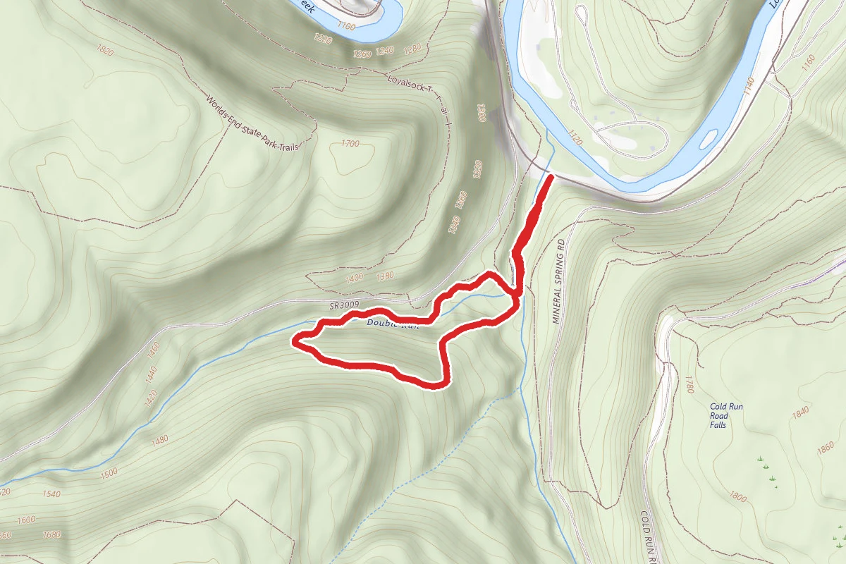
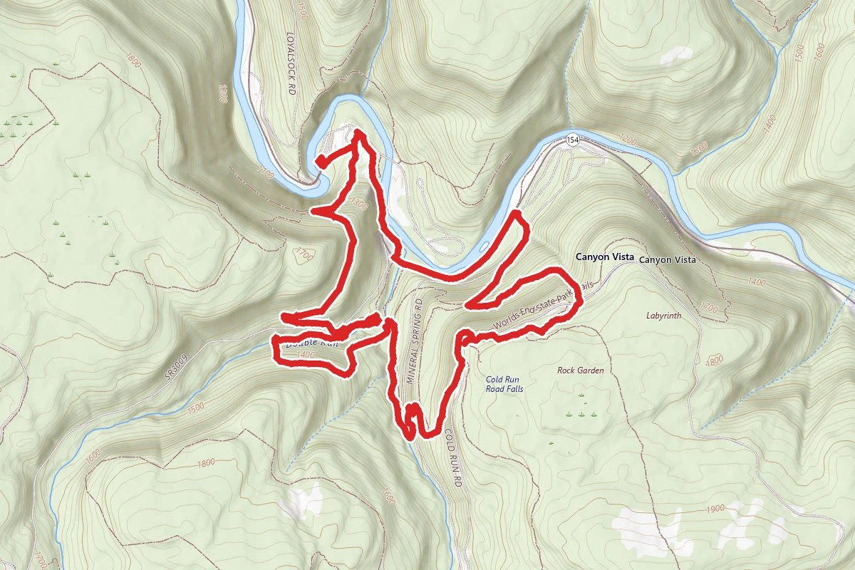
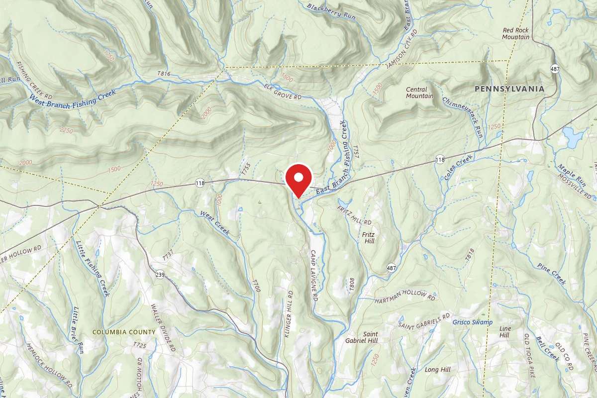
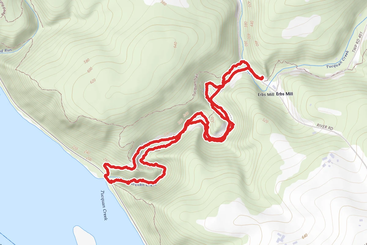
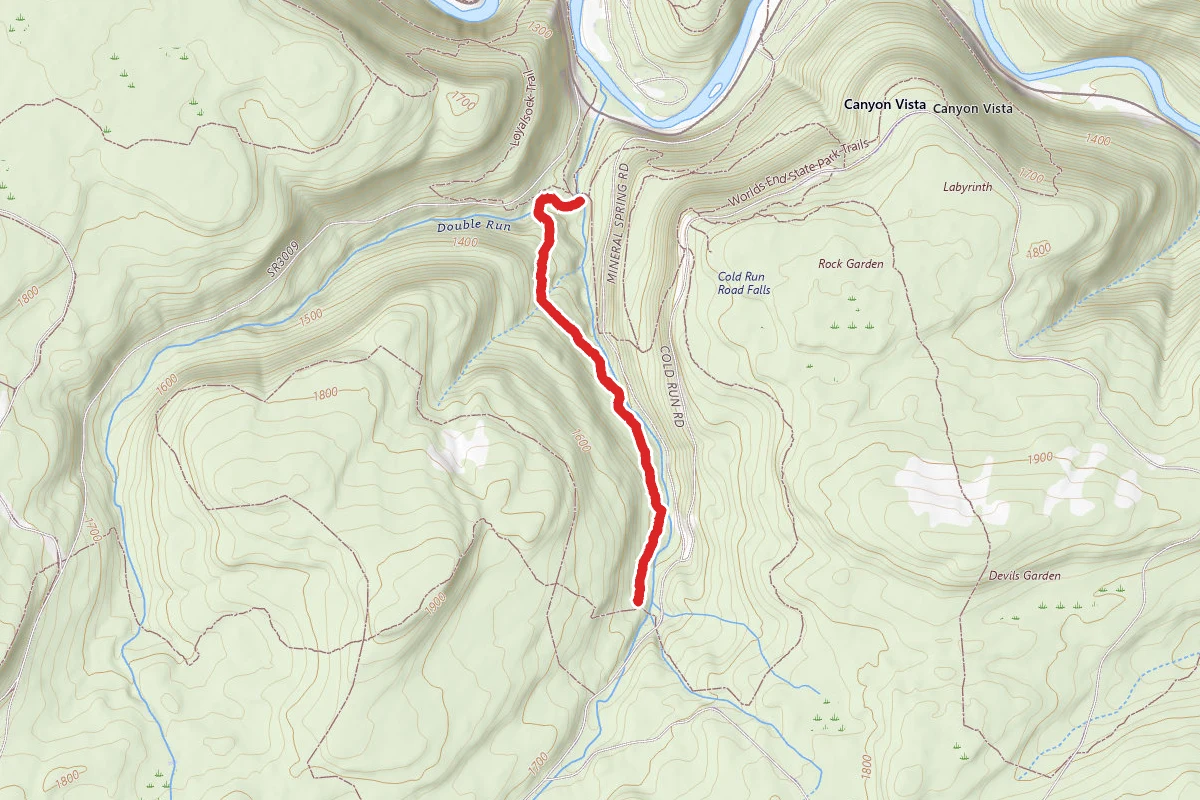
East Branch Trail route map
ModerateOut and Back

East Branch Trail

Forksville, Pennsylvania

2.3 mi

Distance

509 ft

Elev. Gain

58m

Est. Time

Out & Back

Route Type

Moderate

Difficulty

About This Trail

Imported description
The East Branch Trail (EBT) begins at the confluence of the east and west branches of Double Run at an old narrow gauge railroad bed. Access is to the EBT is from the Double Run Nature Trail (DRNT) trailhead parking lot. From the trailhead follow the DRNT green blazes .25 mile, crossing the east branch of Double Run. DRNT becomes a loop trail, turn right. The EBT begins shortly on the left (at this point the DRNT is concurrent with the Loyalsock Trail (mile 44.6) and the Link Trail). The EBT is yellow blazed and starts out following the west branch of Double Run. Several waterfalls can be seen to the right of the trail. The trail bears left onto an old road. To the right one can cross the west branch and connect immediately to the DRNT and the Loyalsock Trail (44.7). After the last view up the west branch gorge the trail bends left and climbs steeply on the old road. At the top of the short hill (.2) the DRNT loop is crossed. At this point the trail leaves the west branch watershed and begins its ascent up the east branch watershed. The trail continues on the old road briefly descending to a stream (.3). Waterfalls are below and above the trail, many out of sight. The road gently winds through the forest with the sound of the creek nearby. The forest is mostly maple, cherry, birch, and beech. In all seasons the forest floor is green, being generously covered with evergreen ferns. Rock outcrops are to the right on the hillside. When the east branch comes into view it is possible to see the switchbacks of a lumber railroad on the opposite bank. A short time later, between two large hemlocks (.6) a seasonal trail used for a trail race descends over to a pigtail of one of the railroad’s switchbacks. Following that route quickly reaches the Link Trail. One can descend the east branch back to the trailhead or follow the Link Trail to the Canyon Vista. The EBT continues on the old road. Views of the east branch are frequent until the trail drifts away into the forest, however the trail remains parallel to the stream. After a short steep hill the trail eases and ends at a stream crossing and the Loyalsock Trail (mile 40.8). The road the trail has been following continues unblazed to the Loyalsock State Forest Bridle Trail. To the right the Loyalsock Trail leads to Worlds End Road. To the left the Loyalsock Trail crosses the east branch of Double Run, goes by the rusty Mineral Springs then crosses Mineral Springs Road. Beautiful Neeneha Falls can be seen from the road. One can turn left on the road, follow to the Link Trail, then descend the east branch back to the trailhead. Following the Loyalsock Trail up along the falls one can continue 1.7 miles to Canyon Vista.

Trail Conditions

Trail Conditions

Unknown

We have no current condition data for this trail. Check with the operator before you go, and submit a report below if you've been recently.

No recent condition reports. Be the first to share what you see on the trail.

Elevation Profile

Min:376 ft
Max:489 ft
155 ft
155 ft
376 ft414 ft451 ft489 ft0.0 mi0.6 mi1.1 mi1.7 mi2.3 mi

Trail Details

Route Type
Out & Back
Surface
Dirt

Official sources & verification

We don't have curated agency sources for this trail in our cache yet. Outdoors is not the permitting authority — confirm conditions, permits, and access with the managing agency before you go. If you know who manages this trail, please tell us.

Reviews

No reviews yet

Be the first to share your experience and help others plan their visit.

Legacy import — verify before navigating

Path geometry came from our pre-launch legacy database. Routes have not yet been re-verified against the operator and may differ from the actual trail.

Spot an error in our data on East Branch Trail?