Status unknown — verify before visiting
We don't have current condition data for this trail. Check with the land manager before you go.
15.6 mi
Distance
4,373 ft
Elev. Gain
6h 29m
Est. Time
Out & Back
Route Type
Expert
Difficulty
About This Trail
We don't have an editorial description for Downey Creek Trail in our cache yet. The planning stats above (distance, elevation gain, estimated time, route type) come from the source listed on this trail.
For current conditions, closures, and route notes, check the official sources below — they're the authority for this trail, not us. Spot something we should add?
Trail Conditions
Trail Conditions
We have no current condition data for this trail. Check with the operator before you go, and submit a report below if you've been recently.
No recent condition reports. Be the first to share what you see on the trail.
Elevation Profile
Trail Details
- Route Type
- Out & Back
- Surface
- Dirt
Official sources & verification
Managed by United States Forest Service
Managing agency
- United States Forest Service
Find offices, alerts, and current orders for this agency.
Verify by phone or mail
- Address:WA
Reviews
No reviews yet
Be the first to share your experience and help others plan their visit.
Legacy import — verify before navigating
Path geometry came from our pre-launch legacy database. Routes have not yet been re-verified against the operator and may differ from the actual trail.
Hunt context
This trail crosses hunting units
During hunting seasons, wear blaze orange and check regulations — see the Washington hunting page
Nearby Trails
More trails near Downey Creek Trail
In this park
Other trails in Mt. Baker National Forest
Heather Lake Trail
Washington

Big Four Ice Caves Trail
Washington
Goat Lake Trail
Washington
Chain Lakes Loop Trail
Washington
Boulder River Trail
Washington
Mount Dickerman Trail
Washington
Stay nearby
Campgrounds near this trail
 Reservable
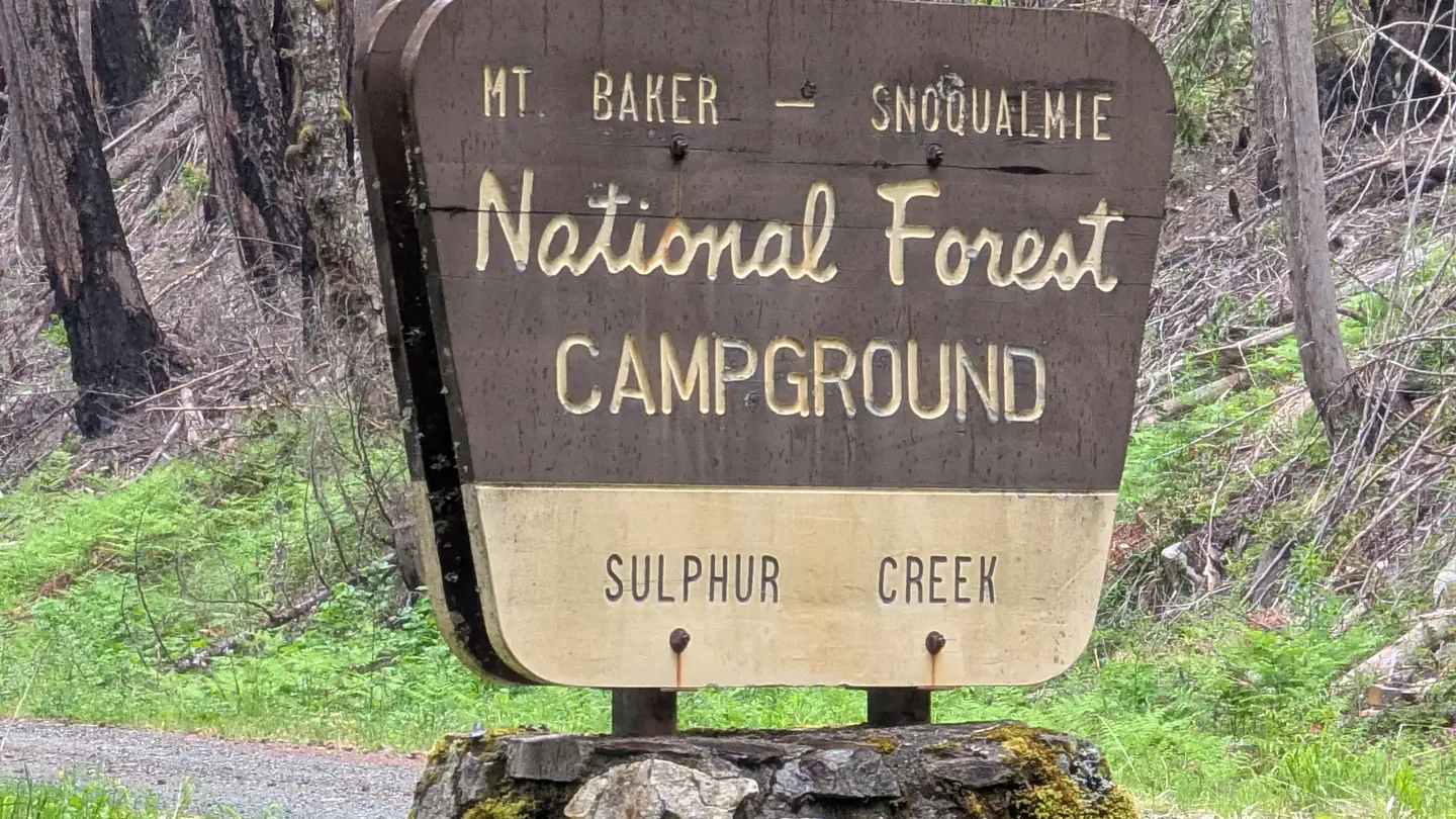
Sulphur Creek Campground
1.5 mi away · WA
 Reservable
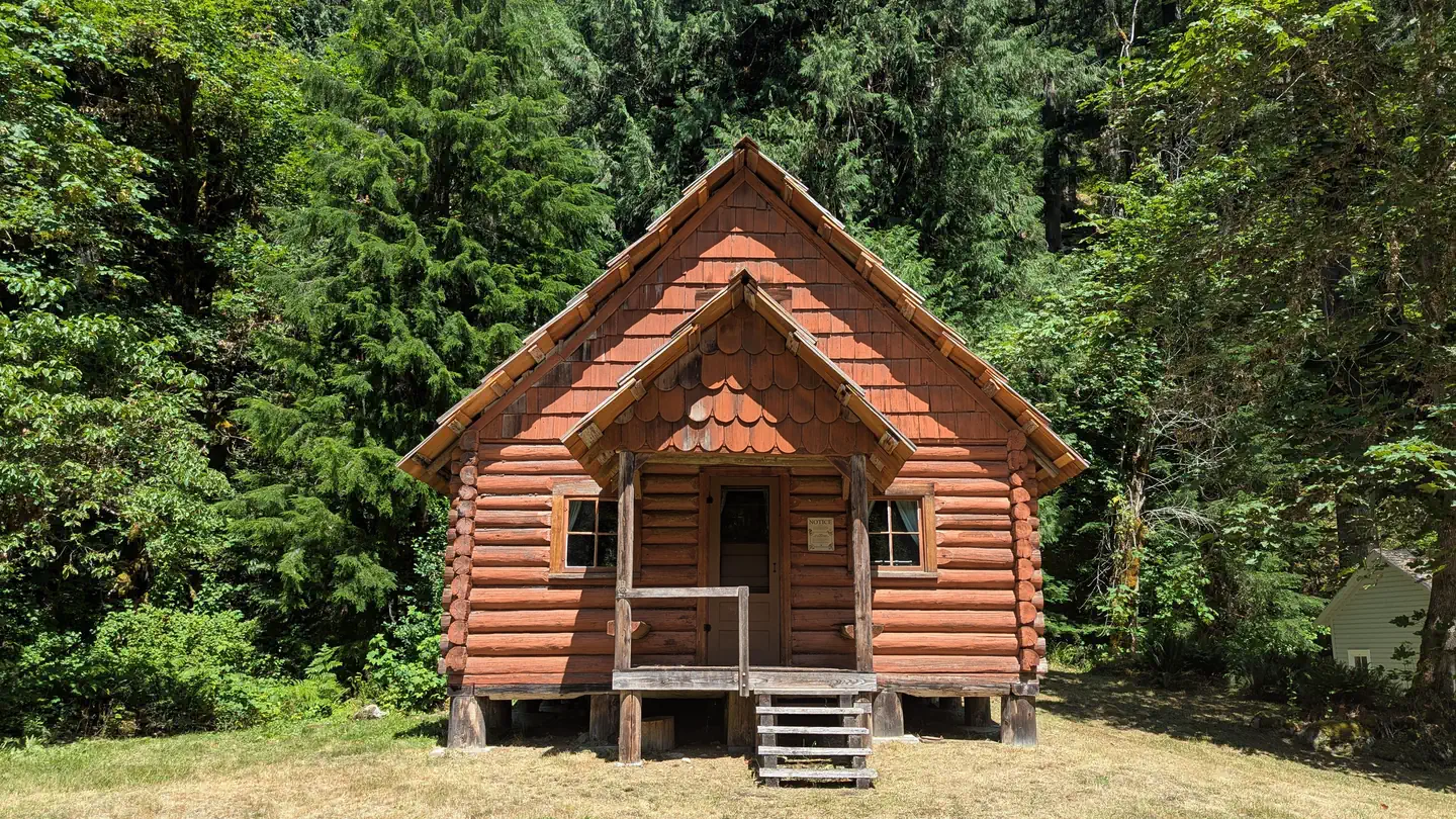
Suiattle Guard Station
4.3 mi away · WA
Suiattle River Road - Forest Service Road 26
12.4 mi away · WA
Mount Baker-Snoqualmie National Forest Bedal Campground
13.3 mi away · WA
Bedal Campground
13.5 mi away · WA
William C. Dearinger- State Forest
14.2 mi away · WA
Similar length
Similar trails in Washington
Hoh River Trail to Blue Glacier
Washington
Mount Si Trail
Washington
Lake Serene Trail and Bridal Veil Falls
Washington
Oyster Dome Trail
Washington
Maple Pass Trail
Washington
Mailbox Peak (New) Trail
Washington