Status unknown — verify before visiting
We don't have current condition data for this trail. Check with the land manager before you go.
8.0 mi
Distance
2,999 ft
Elev. Gain
3h 56m
Est. Time
Loop
Route Type
Difficult
Difficulty
About This Trail
Imported descriptionTrail Conditions
Trail Conditions
We have no current condition data for this trail. Check with the operator before you go, and submit a report below if you've been recently.
No recent condition reports. Be the first to share what you see on the trail.
Elevation Profile
Trail Details
- Route Type
- Loop
- Surface
- Dirt
Official sources & verification
We don't have curated agency sources for this trail in our cache yet. Outdoors is not the permitting authority — confirm conditions, permits, and access with the managing agency before you go. If you know who manages this trail, please tell us.
Reviews
No reviews yet
Be the first to share your experience and help others plan their visit.
Legacy import — verify before navigating
Path geometry came from our pre-launch legacy database. Routes have not yet been re-verified against the operator and may differ from the actual trail.

Old Mac North, Spicewood, Judge Branch
Spicewood Branch Trail
North and South Old Mac Mountain Loop
Old Mac Mountain and Frozen Head Firetower
Old Mac Mountain to Chimney Tops Trail
Judge Branch Trail
Stay nearby
Campgrounds near this trail
Reservable
Frozen Head State Park
0.6 mi away · TN
 Reservable
Rock Creek Campground (tn)
9.9 mi away · TN
Reservable
Windrock Ridge Campground
10.6 mi away · TN
Reservable
Windrock Gap Campground & RV Park
11.2 mi away · TN
Reservable
Lilly Pad Campground
12.1 mi away · TN
Bi-Color Campground (Catoosa WMA)
13 mi away · TN
Similar length
Similar trails in Tennessee
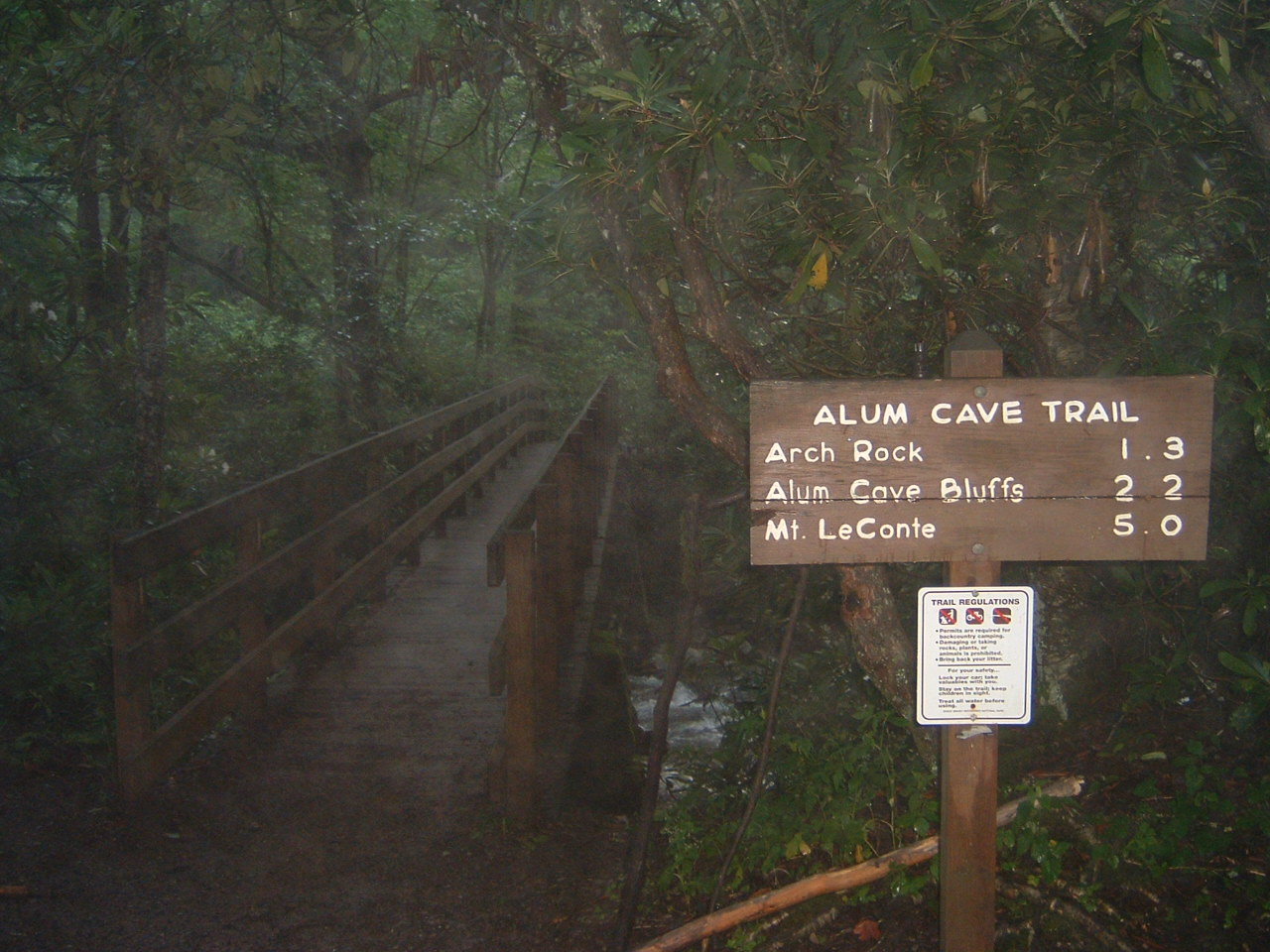
Alum Cave Trail to Mount LeConte
Tennessee

Rainbow Falls Trail
Tennessee
Mossy Ridge Trail
Tennessee
Virgin Falls Trail
Tennessee
Alum Cave Trail
Tennessee

Window Cliffs
Tennessee