Status unknown — verify before visiting

We don't have current condition data for this trail. Check with the land manager before you go.

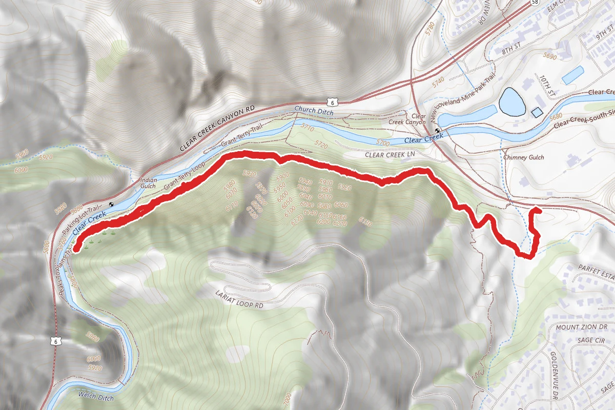
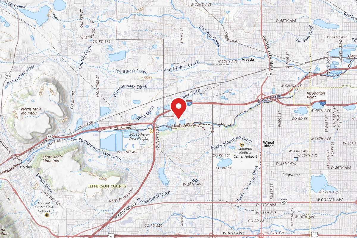
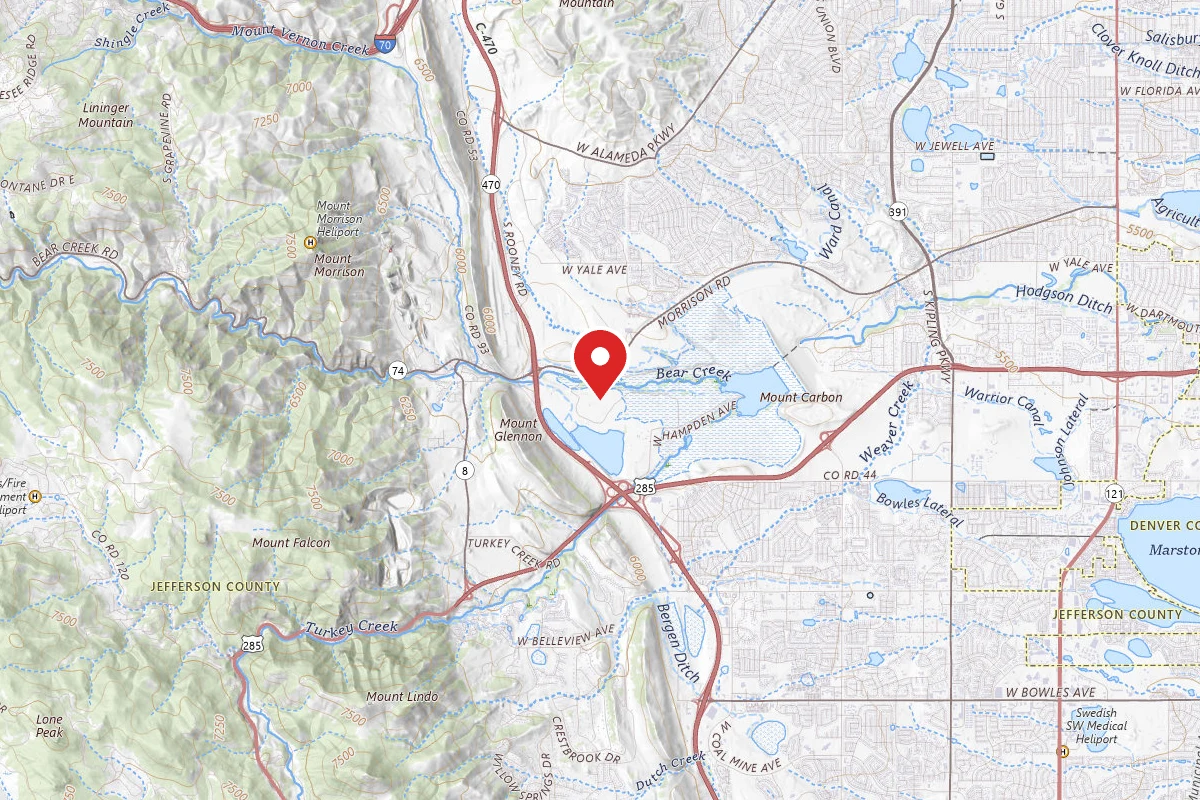
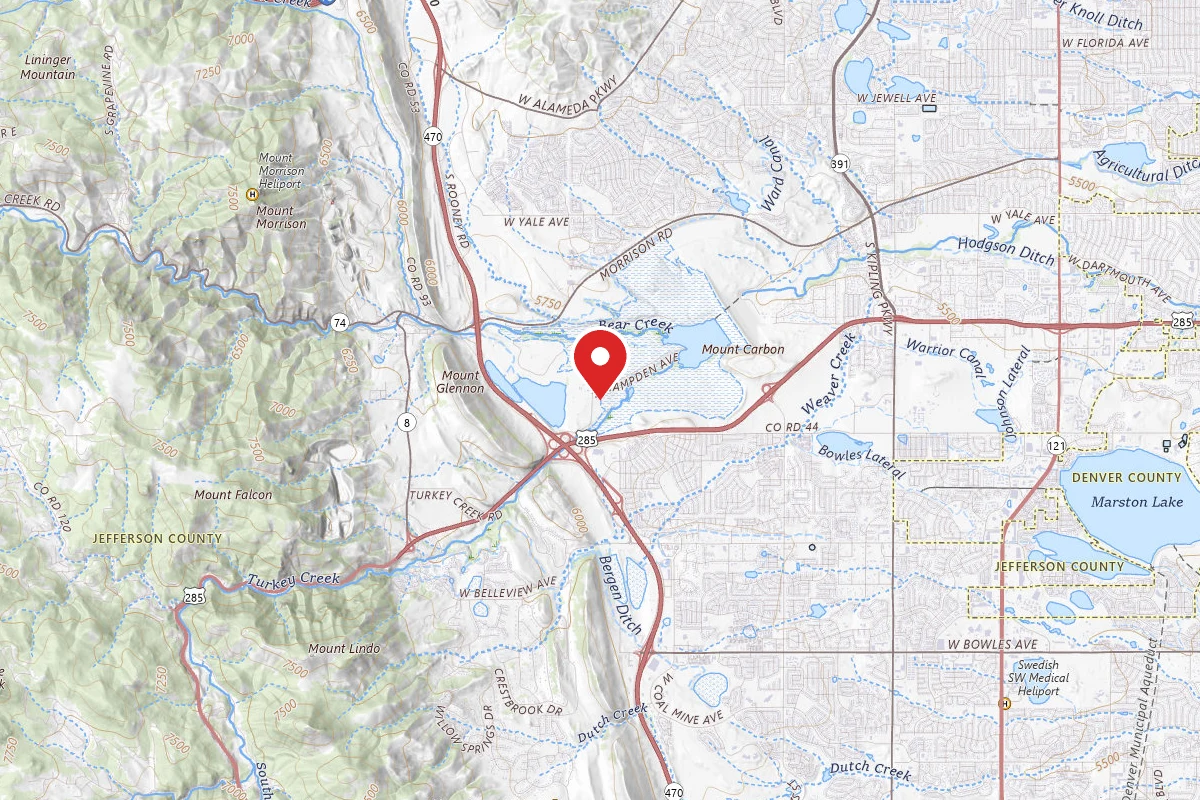
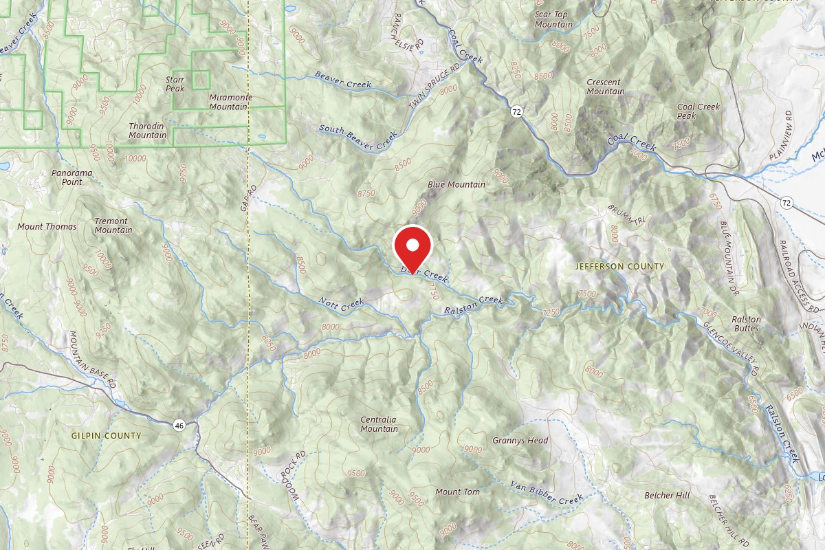
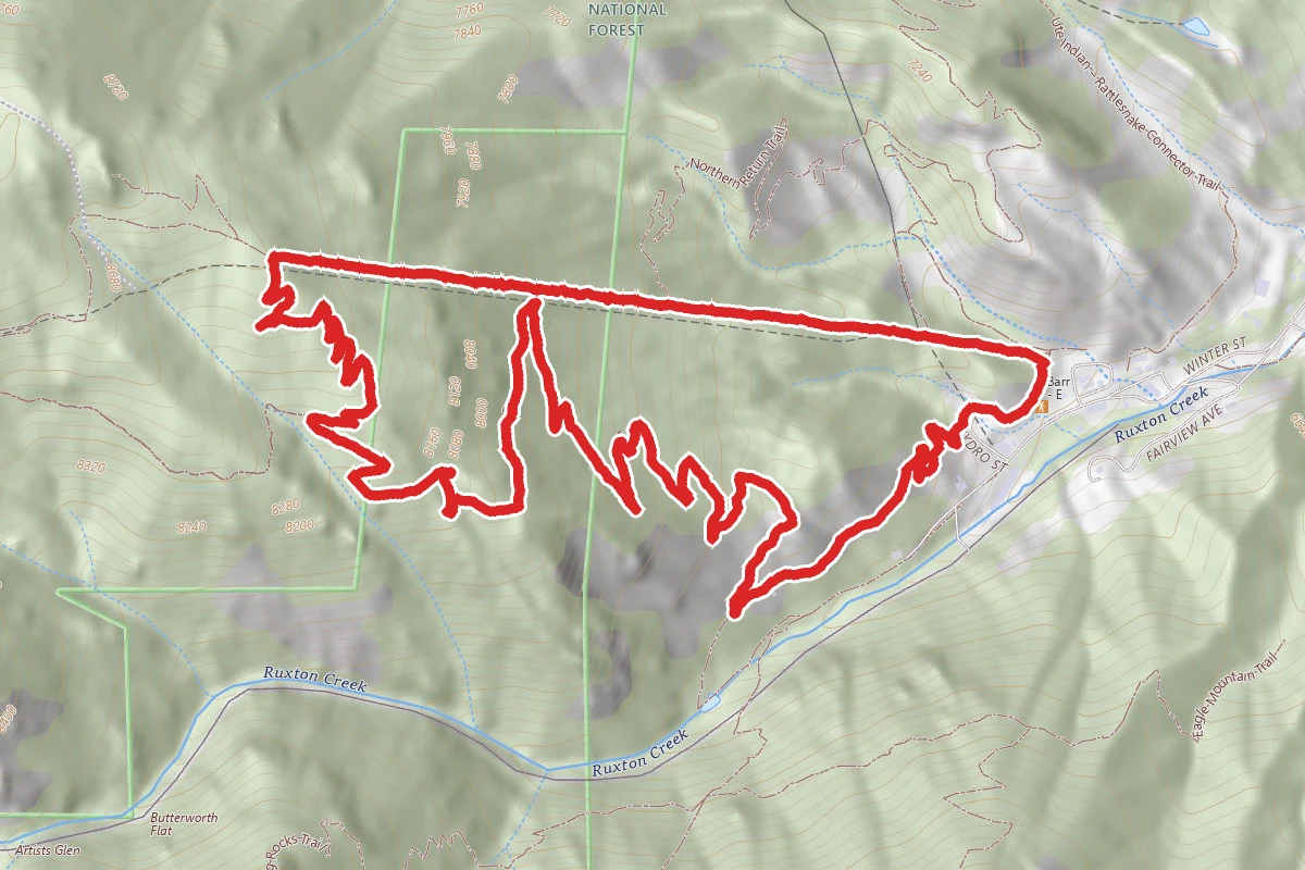
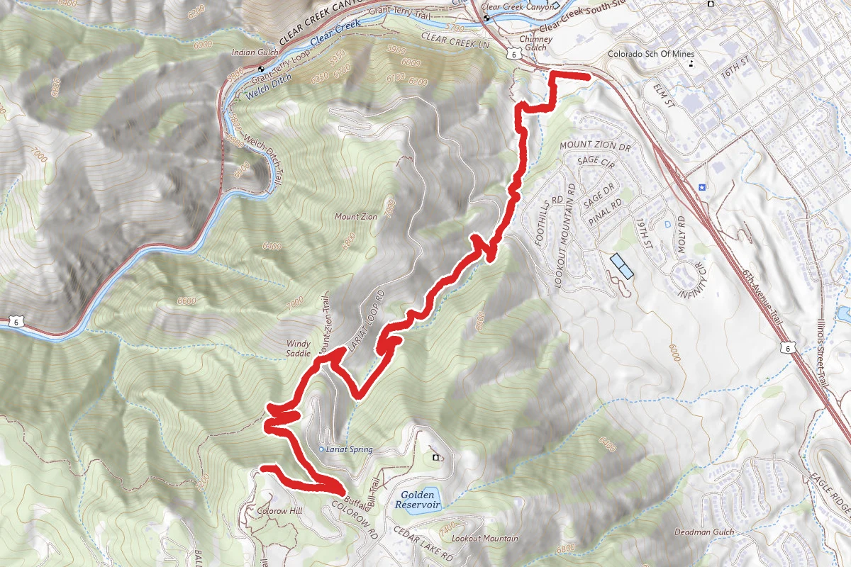
Chimney Gulch Trail from Highway 6 route map
DifficultOut and Back

Chimney Gulch Trail from Highway 6

Golden, Colorado

6.5 mi

Distance

2,257 ft

Elev. Gain

3h 3m

Est. Time

Out & Back

Route Type

Difficult

Difficulty

About This Trail

Imported description
This trail is an advanced climb to the top of Lookout Mountain. It crosses Lookout Mountain Road several times. Be careful crossing the road. Watch for cars and road cyclists. To add more to this ride, you can hook it up with the top of Apex trail near the top of the Enchanted Forest trail. Prescribed trail difficulty: Advanced due to technical singletrack and good climb. 95% singletrack, 5% dirt driveway/crossing roads. Prescribed trail: From the parking lot, take the singletrack heading up toward Lookout Mountain. In about 0.8 miles you will come to a section that looks like someone's dirt driveway (because it is). Go left and the singletrack trail will then continue to your right. Follow this for another 0.2 miles and you will come to your first crossing of Lookout Mountain road (about 1 mile from the trail head). Be very careful crossing the road, watch for car and bicycle traffic. Continue up the Chimney Gulch trail for another 1.5 miles where you will cross the Lookout Mountain road once again. Go to the parking lot across the road and the singletrack continues. In about 0.2 miles, you will intersect with the Beaver Brook trail (hiker only). Don't take this. Take a hard left and continue on the trail. In about 0.8 miles you will be at the top of the climb and on the Lookout Mountain trail. Continue on the Lookout Mountain trail by crossing the road (Colorow Road) and taking the singletrack just to the right of the entrance to the Lookout Mountain Nature Preserve. Take this trail for another 1.1 trails as it follows Colorow Road to the intersection with Lookout Mountain Road. Turn around at this intersection. Descend the way you came, back to the parking lot. Extra notes: If you want to make a longer ride, continue on the Lookout Mountain trail as it parallels Colorow Road and hook this ride up with the Apex ride. The top of the Apex ride is about 1.1 miles away from the Lookout Mountain Nature Preserve.

Trail Conditions

Trail Conditions

Unknown

We have no current condition data for this trail. Check with the operator before you go, and submit a report below if you've been recently.

No recent condition reports. Be the first to share what you see on the trail.

Elevation Profile

Min:1,763 ft
Max:2,305 ft
688 ft
688 ft
1,763 ft1,944 ft2,124 ft2,305 ft0.0 mi1.6 mi3.3 mi4.9 mi6.5 mi

Trail Details

Route Type
Out & Back
Surface
Dirt

Official sources & verification

We don't have curated agency sources for this trail in our cache yet. Outdoors is not the permitting authority — confirm conditions, permits, and access with the managing agency before you go. If you know who manages this trail, please tell us.

Reviews

No reviews yet

Be the first to share your experience and help others plan their visit.

Legacy import — verify before navigating

Path geometry came from our pre-launch legacy database. Routes have not yet been re-verified against the operator and may differ from the actual trail.

Hunt context

This trail crosses hunting units

During hunting seasons, wear blaze orange and check regulations — see the Colorado hunting page

Spot an error in our data on Chimney Gulch Trail from Highway 6?