Status unknown — verify before visiting

We don't have current condition data for this trail. Check with the land manager before you go.

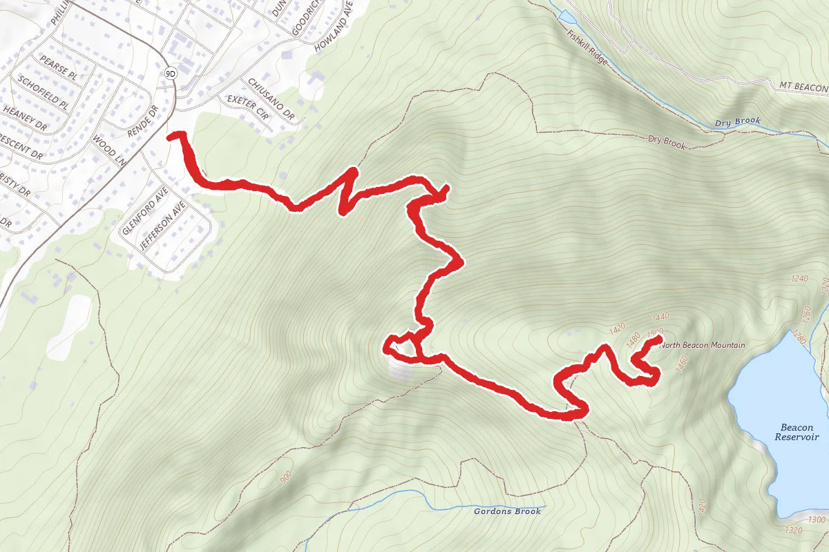
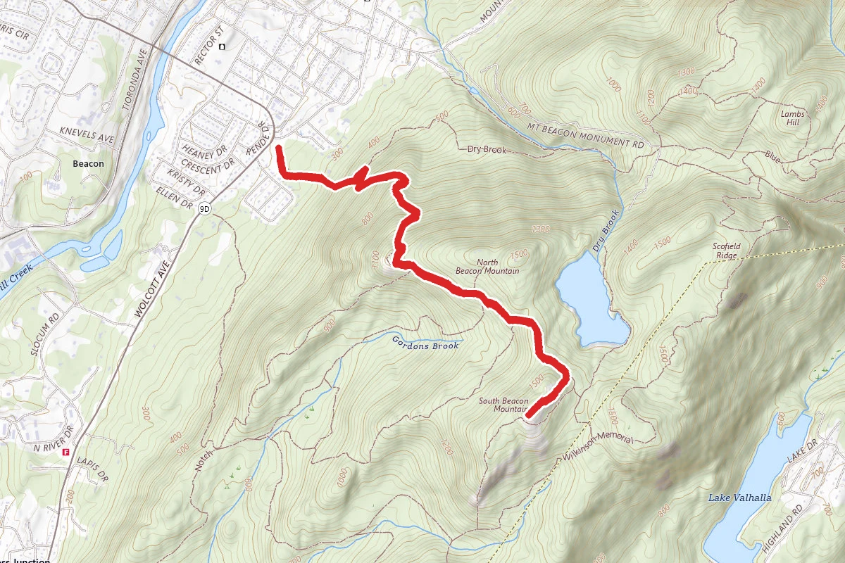
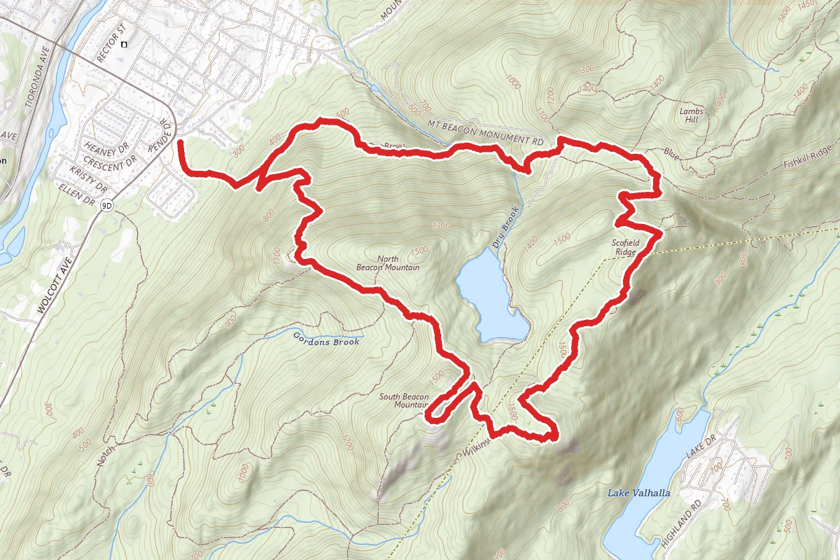
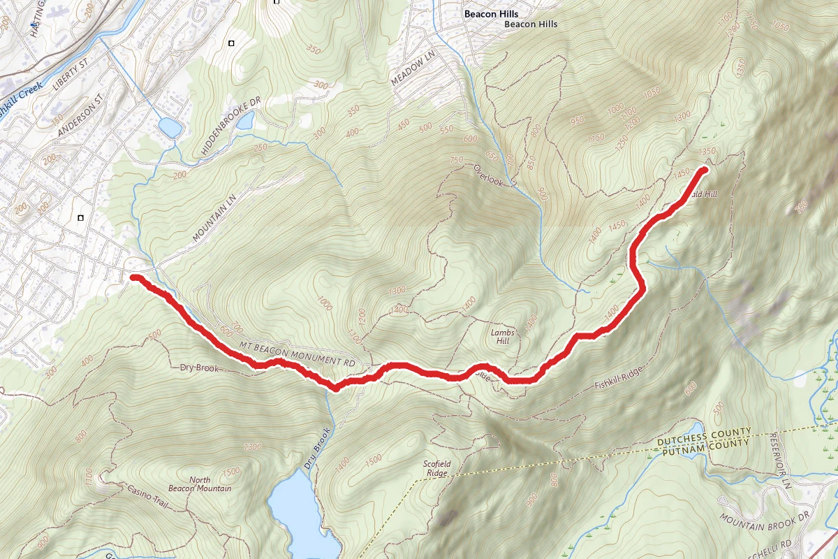
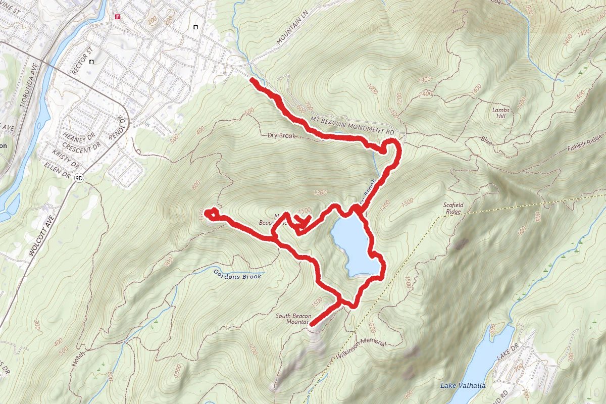
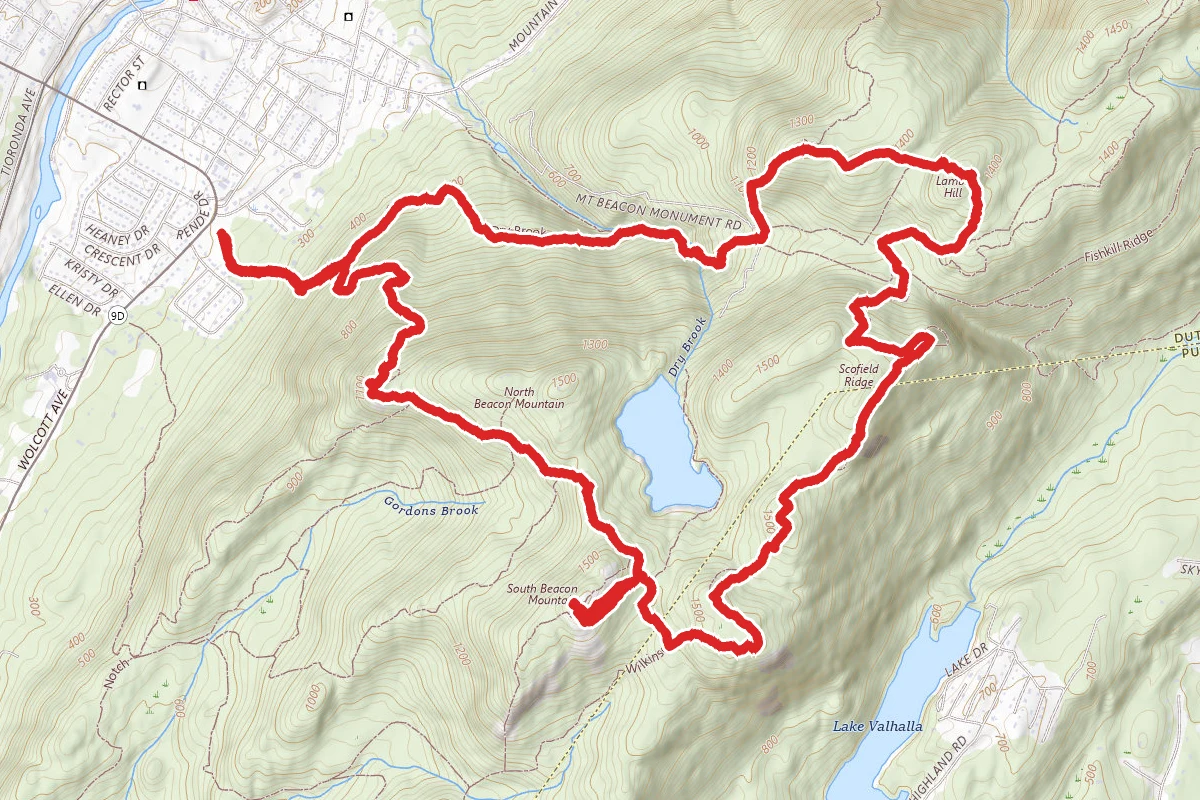
Casino, Fire Tower, Scofield Ridge, Lambs Hill, and Rainbow Falls Loop route map
DifficultLoop

Casino, Fire Tower, Scofield Ridge, Lambs Hill, and Rainbow Falls Loop

Beacon, New York

7.1 mi

Distance

2,539 ft

Elev. Gain

Loop

Route Type

Difficult

Difficulty

About This Trail

Imported description
This route starts in Mt. Beacon Park, but quickly leaves to spend most of the time/miles in Hudson Highlands State Park. Along its route, you pass by/through several historic areas (incline railway, casino, and the Mt. Beacon fire tower, as well as a number of places with marvelous views in every possible direction. An added bonus is a cascade water fall. Along the way are sections which are quite steep as well as others which are relatively flat. From the parking lot at Mt. Beacon Park, you pick up the Casino Trail (red), passing the lower terminus of the incline railway which, in the first half of the 20th century, took tourists to the casino near the top of the mountain. The trail uses a set of stairs to climb an initial steep section, and then proceeds via a number of washed-out old ski trails, leading to the ruins of the casino complex, which, together with the adjacent brick building which houses the machinery used to hoist the incline railway, is well worth a visit, both for its historic importance as well as for the great views to be had to the north and west from the site. You then continue on the Casino Trail (which now follows a washed-out dirt road), for the most part climbing gently, until you reach the intersection with the Breakneck Ridge Trail (white). Turn right onto the latter, which climbs moderately steeply to the summit of South Beacon Mountain, the site of the Beacon fire tower. Even if you don’t choose to climb the tower, the panoramic view from this spot is stupendous, not least the New York City skyline to the south. Return down the Breakneck Ridge Trail (make sure you’re going to the north!) until its end at the Casino Trail (red), where you turn right onto the latter. In about 0.25 miles, the Casino Trail ends (though the road it has been following continues!) where it intersects with the Wilkinson Trail (yellow), onto which you turn left. The Wilkinson Trail then proceeds along Scofield Ridge, with several spots where you once again have good views of NYC, as well as some later viewpoints to the east. It descends from Scofield Ridge on an old woods road. At a T-junction, although the Wilkinson Trail turns right, you turn left onto an unnamed trail (blue). Stay on this trail through several twists and turns until it ends at what is called Dozer Junction (because of the presence of a long-abandoned bulldozer), at which point you turn left onto the Fishkill Ridge Trail (white) to make the fairly short ascent of Lambs Hill. Shortly after the actual summit, you reach an open area which has a fabulous view to the north and west. You then make the fairly steep descent from Lambs Hill, eventually crossing a wide dirt road. Continue on the Fishkill Ridge Trail as it continues descending, initially along an unnamed stream, then along Dry Brook. At the point where the unnamed stream empties into Dry Brook, look uphill to your left for the picturesque Rainbow Falls (a cascade falls). Then continue on the trail, which quickly crosses Dry Brook (interesting in high-water periods!). About 0.15 miles past this ford, take the unnamed trail (yellow) which goes diagonally off to the left. Continue on this trail (which eventually ends up using old ski trails) until it ends at the Casino Trail (red), which you then take downhill back to your starting point.

Trail Conditions

Trail Conditions

Unknown

We have no current condition data for this trail. Check with the operator before you go, and submit a report below if you've been recently.

No recent condition reports. Be the first to share what you see on the trail.

Elevation Profile

Min:69 ft
Max:481 ft
774 ft
774 ft
69 ft206 ft344 ft481 ft0.0 mi1.8 mi3.5 mi5.3 mi7.1 mi

Trail Details

Route Type
Loop
Surface
Dirt

Official sources & verification

We don't have curated agency sources for this trail in our cache yet. Outdoors is not the permitting authority — confirm conditions, permits, and access with the managing agency before you go. If you know who manages this trail, please tell us.

Reviews

No reviews yet

Be the first to share your experience and help others plan their visit.

Legacy import — verify before navigating

Path geometry came from our pre-launch legacy database. Routes have not yet been re-verified against the operator and may differ from the actual trail.

Spot an error in our data on Casino, Fire Tower, Scofield Ridge, Lambs Hill, and Rainbow Falls Loop?