Status unknown — verify before visiting
We don't have current condition data for this trail. Check with the land manager before you go.
6.4 mi
Distance
1,670 ft
Elev. Gain
2h 41m
Est. Time
Out & Back
Route Type
Difficult
Difficulty
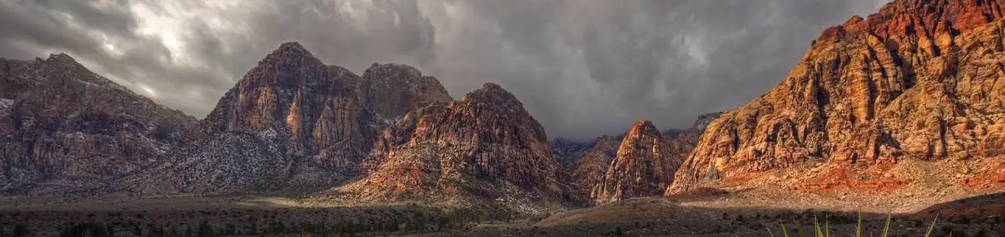
About This Trail
Imported descriptionTrail Conditions
Trail Conditions
We have no current condition data for this trail. Check with the operator before you go, and submit a report below if you've been recently.
No recent condition reports. Be the first to share what you see on the trail.
Elevation Profile
Trail Details
- Route Type
- Out & Back
- Surface
- Dirt
Official sources & verification
We don't have curated agency sources for this trail in our cache yet. Outdoors is not the permitting authority — confirm conditions, permits, and access with the managing agency before you go. If you know who manages this trail, please tell us.
Reviews
No reviews yet
Be the first to share your experience and help others plan their visit.
Legacy import — verify before navigating
Path geometry came from our pre-launch legacy database. Routes have not yet been re-verified against the operator and may differ from the actual trail.
Hunt context
This trail crosses hunting units
During hunting seasons, wear blaze orange and check regulations — see the Nevada hunting page
Nearby Trails
More trails near Calico Hills Trail
Stay nearby
Campgrounds near this trail
 Reservable
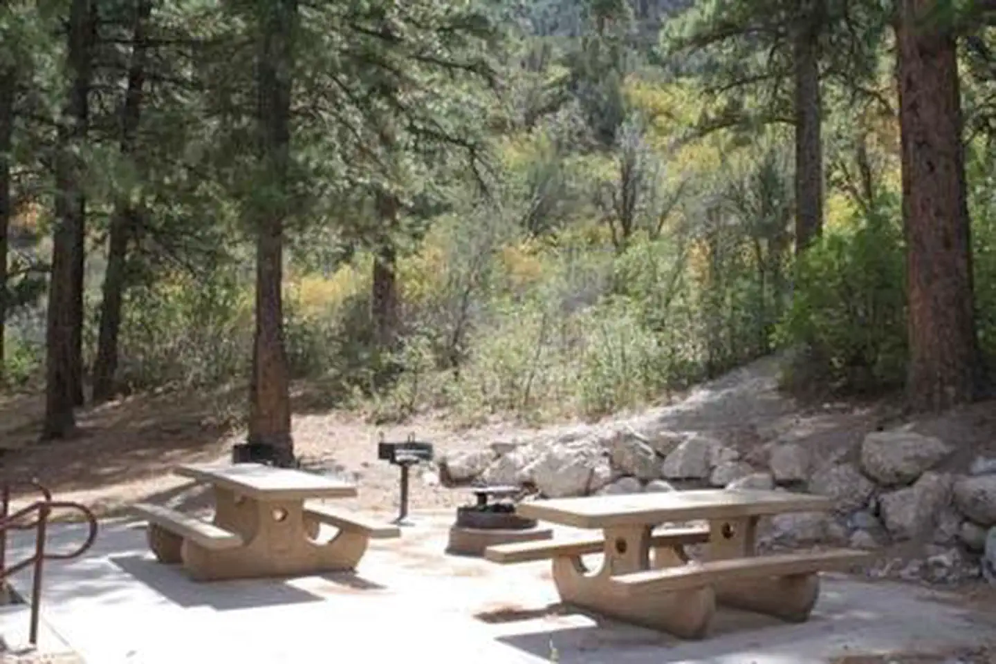
Red Rock Canyon Campground
1.2 mi away · NV
Lovell Canyon Dispersed Camping (Spring Mountain)
9.4 mi away · NV
Harris Springs / Spring Mountains Dispersed
9.7 mi away · NV
Reservable
Sage Desert Dreams
11.7 mi away · NV
Reservable
Kyle Canyon Campground
12.8 mi away · NV
Kyle Canyon Campground (formerly Day Use only)
12.9 mi away · NV
Similar length
Similar trails in Nevada
Hunter Creek Trail
Nevada
Turtlehead Peak Trail
Nevada
Mount Rose Trail
Nevada
First Creek Canyon Trail
Nevada
Van Sickle Rim Trail Connector
Nevada
Tunnel Creek Trail
Nevada