Status unknown — verify before visiting

We don't have current condition data for this trail. Check with the land manager before you go.

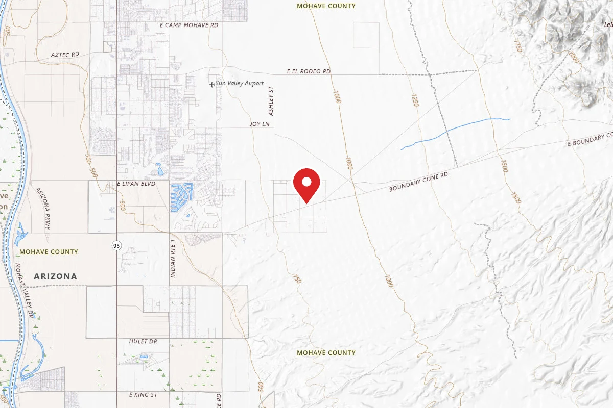
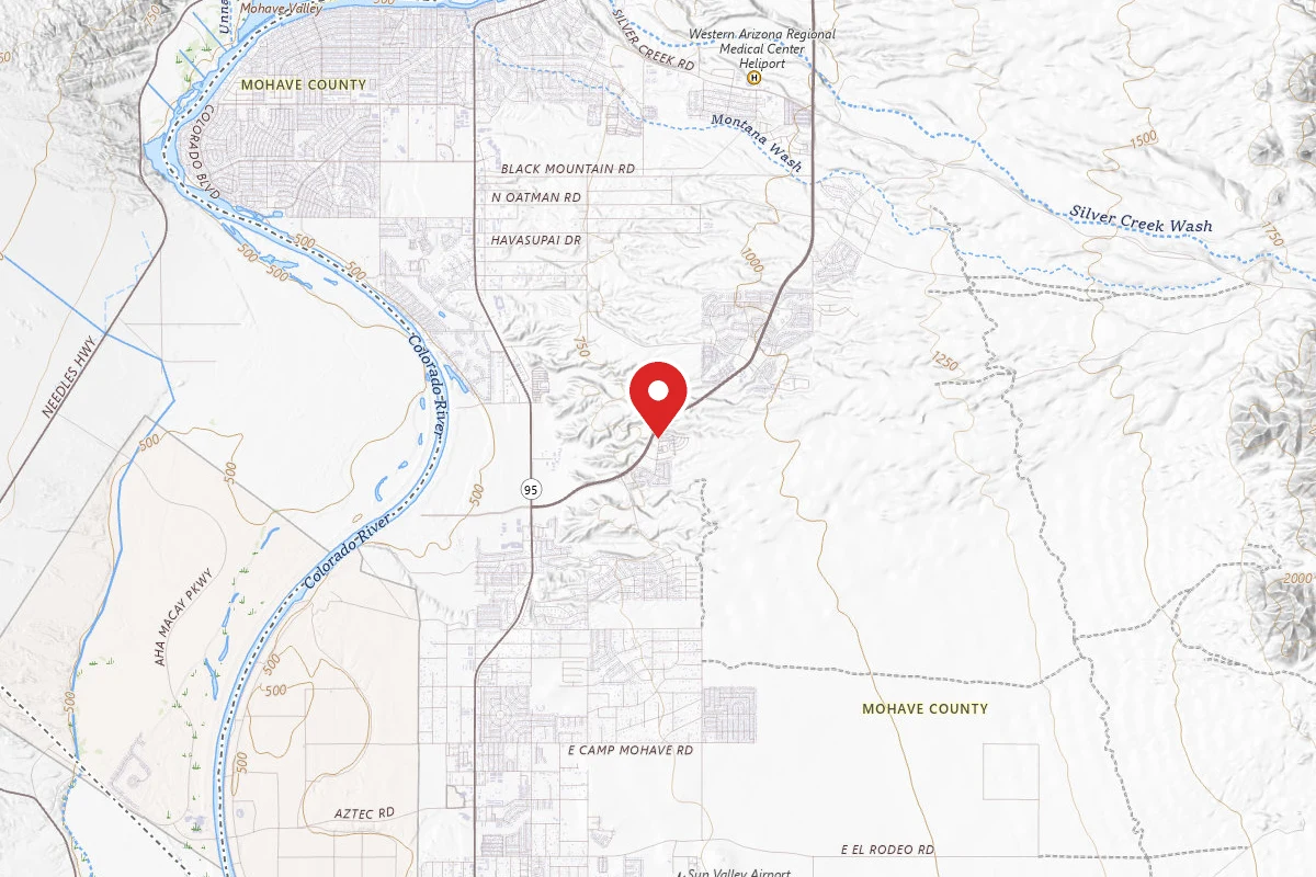
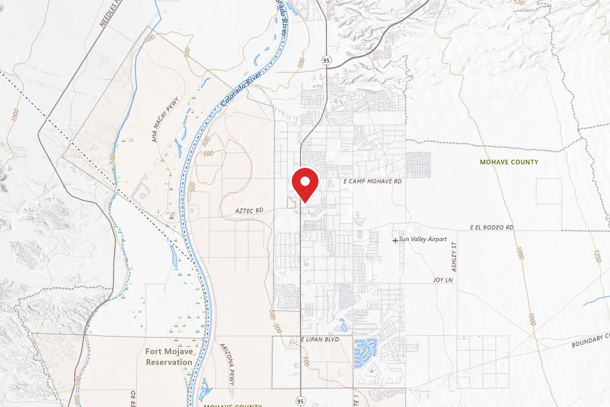
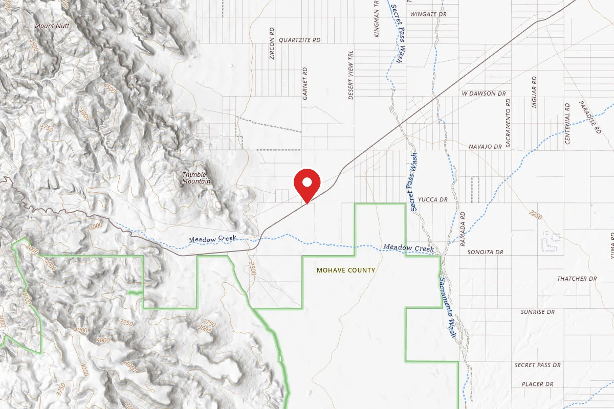
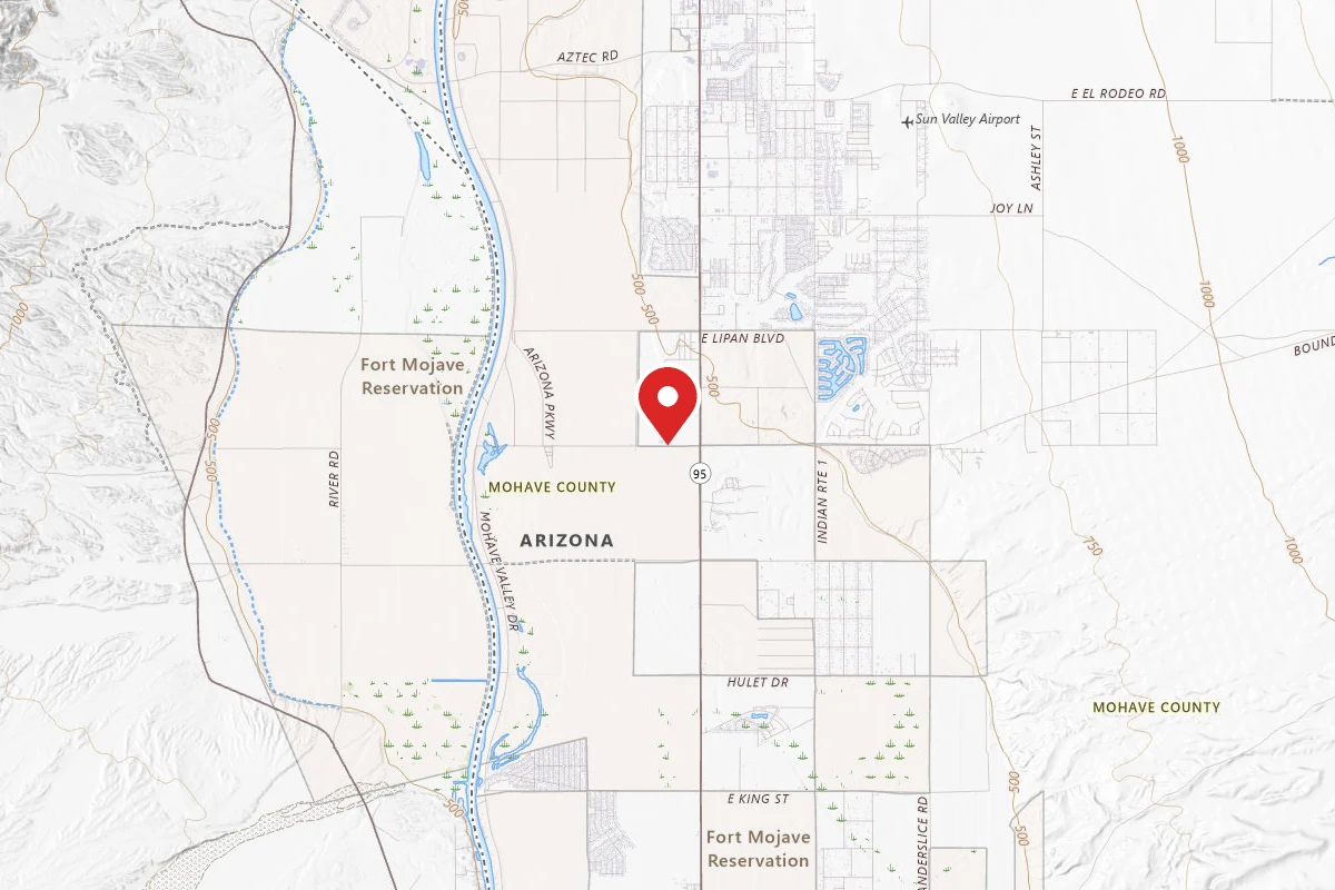
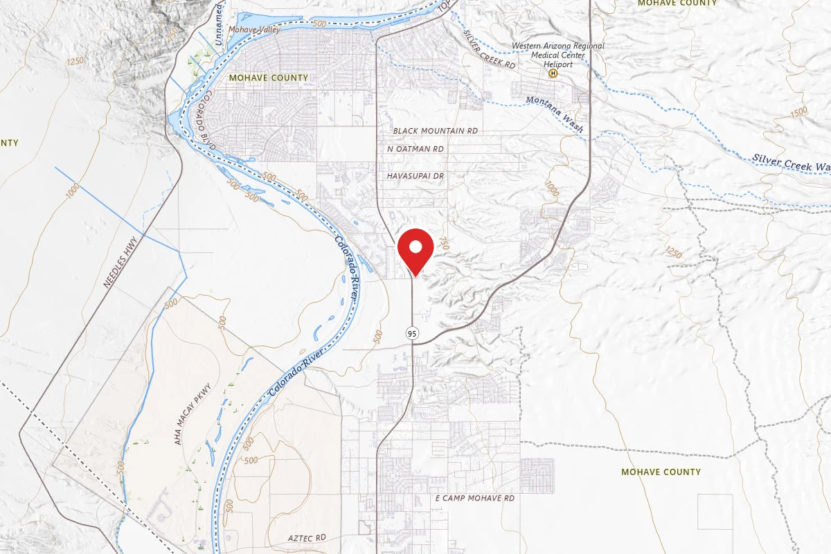
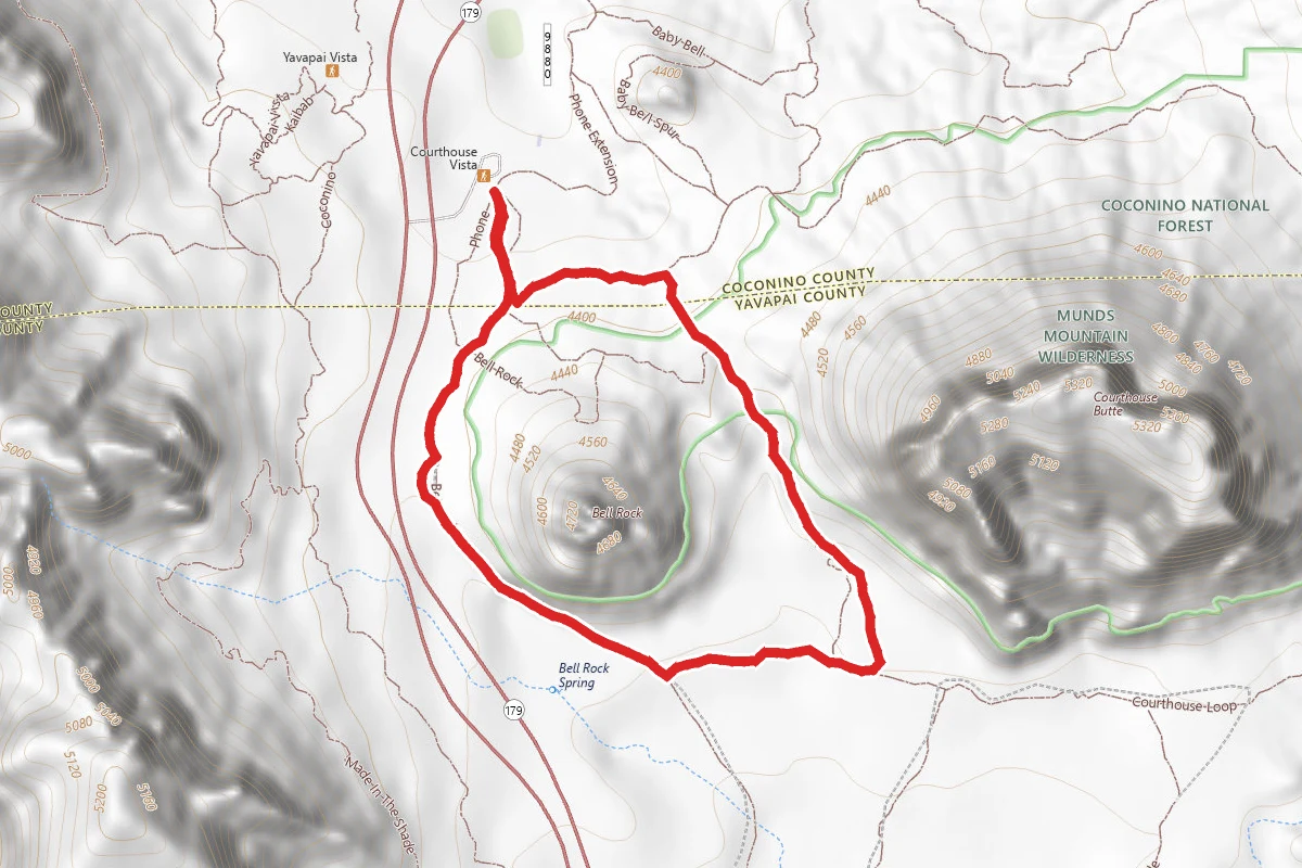
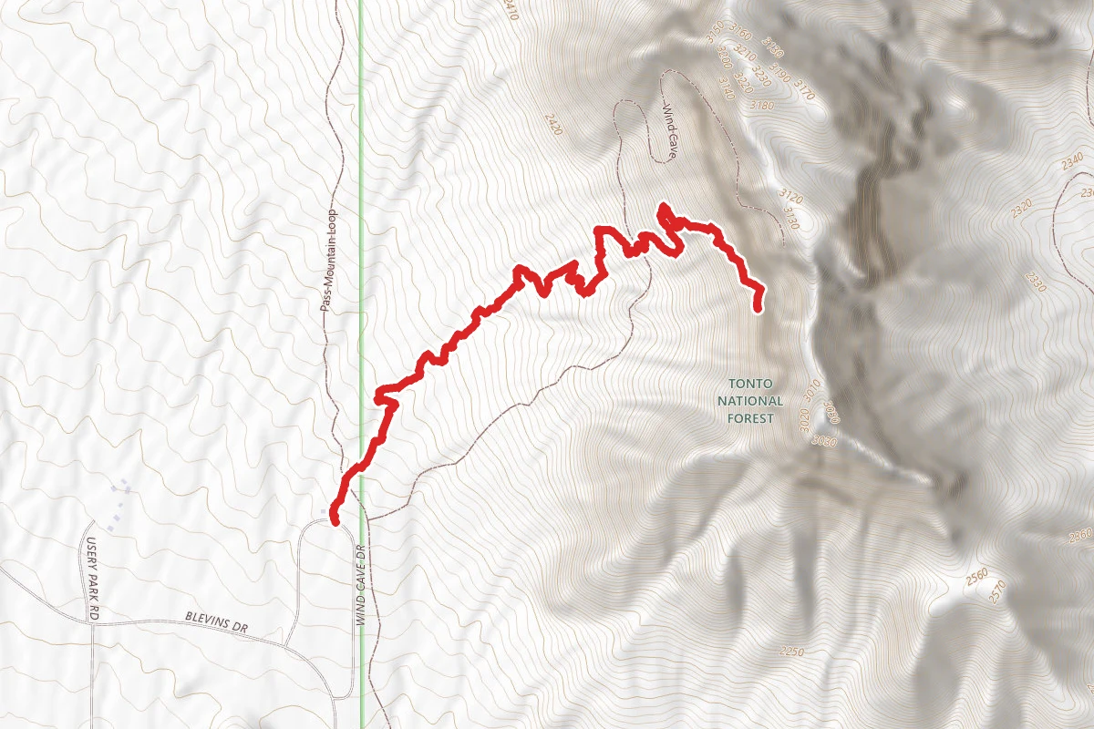
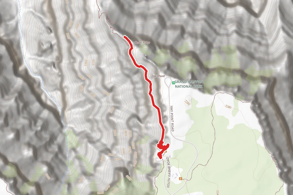
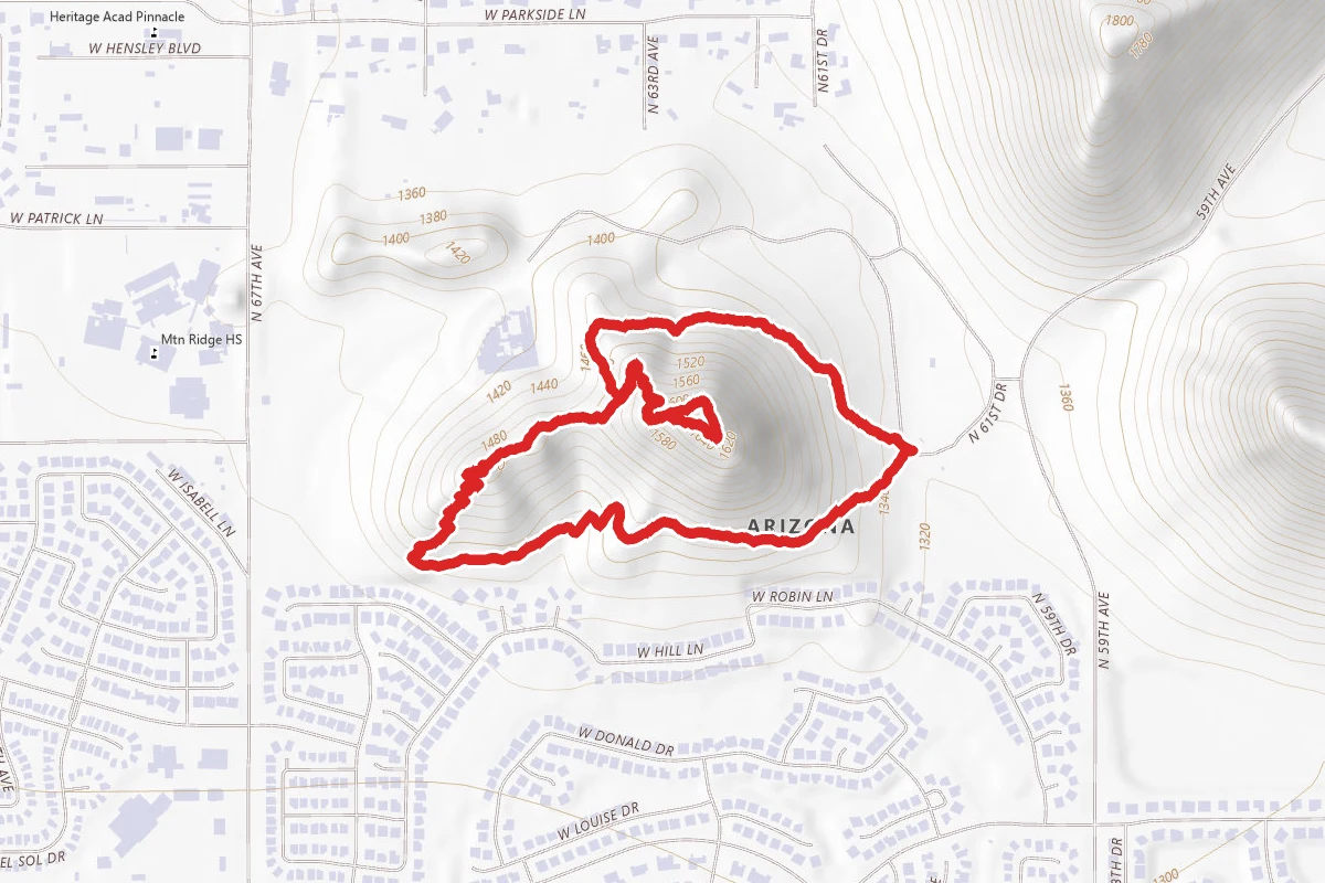
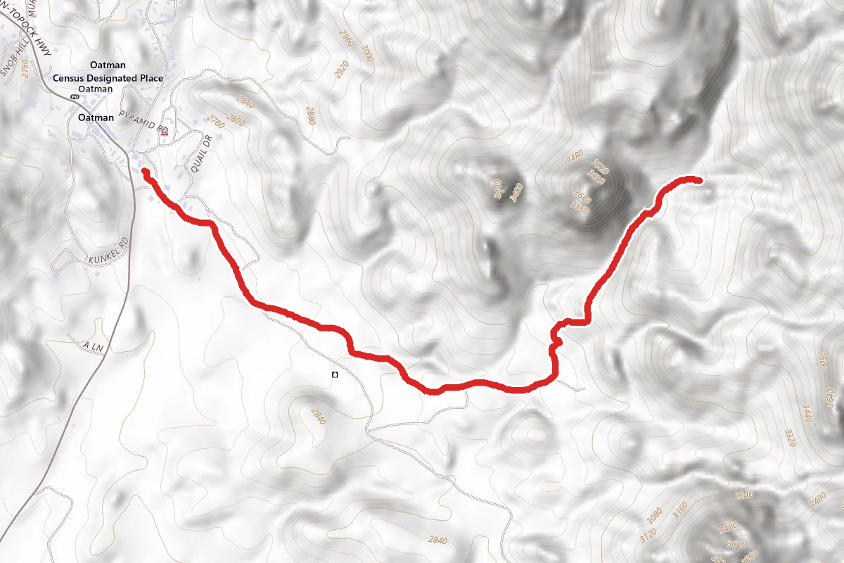
Boundary Cone route map
DifficultOut and Back

Boundary Cone

Oatman, Arizona

1.5 mi

Distance

1,247 ft

Elev. Gain

39m

Est. Time

Out & Back

Route Type

Difficult

Difficulty

About This Trail

Imported description
Park at one of the pullouts on the side of Oatman Highway 10 near the trailhead. Walk across the road to the obvious old ATV road and follow the trail uphill. Follow the road/trail uphill until it forks, go left at the fork and continue up until you reach the top. From there, go up 15 meters straight up loose gravel to a flat area with a concrete slab and barbed wire on the left. If you continue going up about 30 meters you can find a cool little mine cave. However, the main route goes left, skirting around the broken barbed wire fence, avoiding a quite deep mine shaft on your right, and past one more broken barbed wire fence (step over). Continue on the direction you are facing (rotating around the mountain). After a short while, the trail should start going uphill towards a giant drainage gully. This is how you get up. Continue following the trail upwards. The easiest way is to stay quite close to the giant rock wall on your right and continue following the drainage upwards. You come to a 1-2 move scramble on smoothed rock. Continue upwards trying to stay on the path, which starts trending a little left before zigging right (towards the obvious ridge) at a little tree and rock cairn. Zag left just before the ridge and follow that path up to rock cairns and the Main Ridge/Boulders: You'll then trend left and up on the Main Ridge trying to follow the cairns and protecting the plants. You'll pass over a small mini ridge and into an open gully. Rather than continue going up and right, you want to go across the gully up and left to get to some rocky boulders (this is the safest way up). Take the path of least resistance up and between the boulders until you get to a worn down mini ridge. Now, you'll cut across another gully right and slightly up until you reach some more faded trails/flatter areas. This is where it gets confusing. There are many ways up. Try to go upwards towards the peak and (generally) trend LEFT as you rotate around the peak following some of the cairns (some of which seem random). Follow the path of least resistance up to the top. There are two similar summits, the one on the back side is the slightly higher of the two and contains the black summit box. Also, be careful as there are dropoffs on the backside of the summit. Enjoy the Mohave desert views!

Trail Conditions

Trail Conditions

Unknown

We have no current condition data for this trail. Check with the operator before you go, and submit a report below if you've been recently.

No recent condition reports. Be the first to share what you see on the trail.

Elevation Profile

Min:598 ft
Max:908 ft
380 ft
380 ft
598 ft701 ft805 ft908 ft0.0 mi0.4 mi0.8 mi1.1 mi1.5 mi

Trail Details

Route Type
Out & Back
Surface
Dirt

Official sources & verification

We don't have curated agency sources for this trail in our cache yet. Outdoors is not the permitting authority — confirm conditions, permits, and access with the managing agency before you go. If you know who manages this trail, please tell us.

Reviews

No reviews yet

Be the first to share your experience and help others plan their visit.

Legacy import — verify before navigating

Path geometry came from our pre-launch legacy database. Routes have not yet been re-verified against the operator and may differ from the actual trail.
Hunt context

This trail crosses hunting unit

During hunting seasons, wear blaze orange and check regulations — see the Arizona hunting page

Spot an error in our data on Boundary Cone?