Status unknown — verify before visiting

We don't have current condition data for this trail. Check with the land manager before you go.

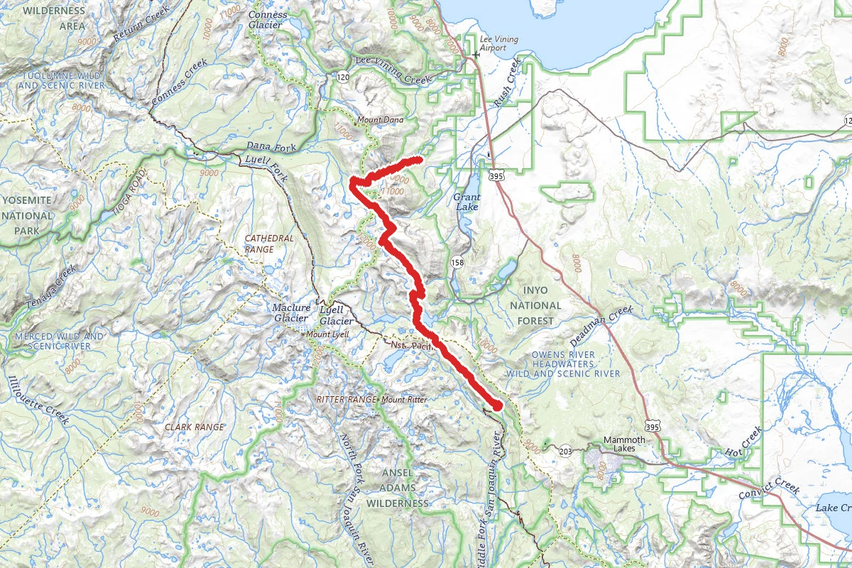
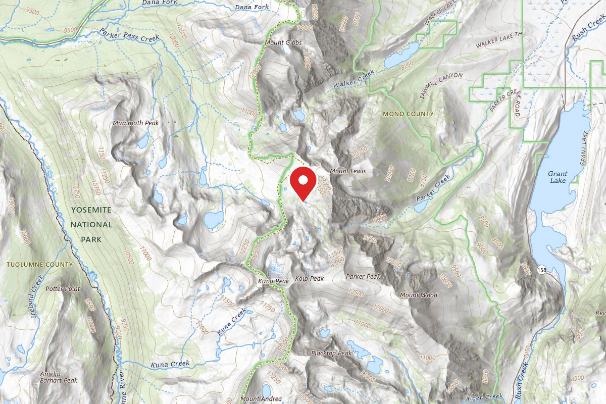
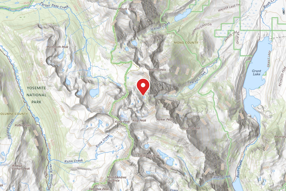
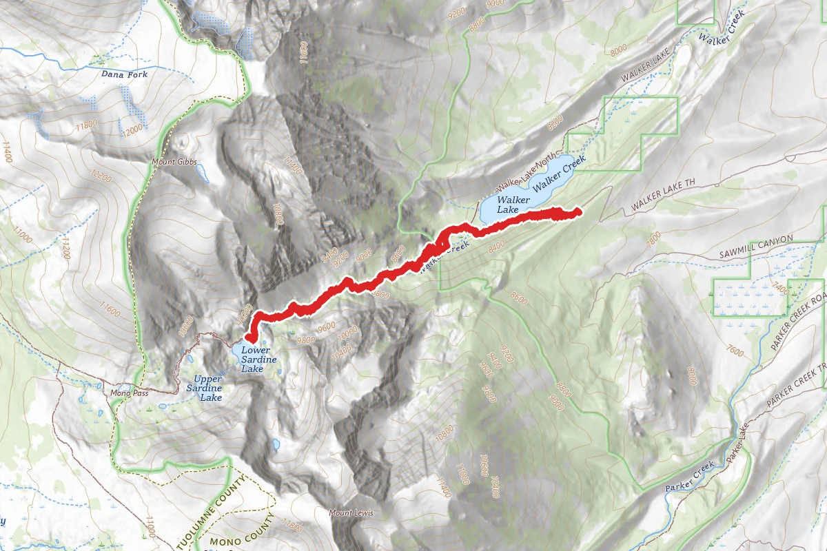
Bloody Canyon Trail route map
DifficultOut and Back

Bloody Canyon Trail

Lee Vining, California

7.2 mi

Distance

3,212 ft

Elev. Gain

3h 37m

Est. Time

Out & Back

Route Type

Difficult

Difficulty

About This Trail

Imported description
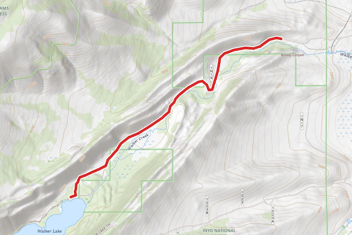
The Trailhead is from Walker Lake, you need to drive to the Walker Lake campground along Forrest Road 1S23. This road is a dirt road in reasonable condition. There is a nice campground at the end of the road, it will be obvious when you get there. A pit toilet is there and nice small campground if you want to spend the night before you set off. You start walking through the campground and within 50 feet on your right the trailhead takes you up immediately a small hill from which you can look down to Walker lake. You immediately start down a steep incline until you reach the bottom along the shore of Walker Lake. The trail is well marked and easy to follow. The hike up to Lower Sardine Lake takes you every upwards with nice switchbacks, but this trail is not heavily used and parts are not well maintained. Small areas are washed out, fallen trees along trail and areas of significant overgrowth of brush. You will have 4 stream crossings and this year with the historical rains a few will challenge your balance with a heavy pack. Lots of wild flowers along the trail and the pleasant scents of wild oregano liven the senses. We did not scout any significant campsites at lower Sardine lake and went on to Upper Sardine. This is the most difficult part of the trail. Seasonally, ice and Snow cover some of the most steep sections of trail and there is lots of scree and loose rocks to navigate to get up to Upper Sardine lake. This small section after already going up 2000 feet will tax you greatly. At Upper Sardine Lake there are actually two lakes, plenty of quality campsites can be found, but the best are at the second of the two lakes which is actually Upper Sardine Lake. Great views of Mono Lake are a treat from the ridges on the east side of Upper Sardine lake (which is where the good campsites are). Upper Sardine has great quality fresh water that is constantly being fed from streams above. The hike out of Bloody Canyon was a real grind due to the areas of iced trail and attempting to find safe routes down the steepest, rockiest parts of the trail. As others have indicated the hike back up to the Walker Lake Campground from Walker Lake is a real work-out. It is a nice trail, but very few switchbacks and just straight back up to the campsite, it is a great cardiac stress test with a full pack.

Trail Conditions

Trail Conditions

Unknown

We have no current condition data for this trail. Check with the operator before you go, and submit a report below if you've been recently.

No recent condition reports. Be the first to share what you see on the trail.

Elevation Profile

Min:2,433 ft
Max:3,031 ft
979 ft
979 ft
2,433 ft2,632 ft2,832 ft3,031 ft0.0 mi1.8 mi3.6 mi5.4 mi7.2 mi

Trail Details

Route Type
Out & Back
Surface
Dirt

Official sources & verification

We don't have curated agency sources for this trail in our cache yet. Outdoors is not the permitting authority — confirm conditions, permits, and access with the managing agency before you go. If you know who manages this trail, please tell us.

Reviews

No reviews yet

Be the first to share your experience and help others plan their visit.

Legacy import — verify before navigating

Path geometry came from our pre-launch legacy database. Routes have not yet been re-verified against the operator and may differ from the actual trail.

Hunt context

This trail crosses hunting units

During hunting seasons, wear blaze orange and check regulations — see the California hunting page

Spot an error in our data on Bloody Canyon Trail?