Status unknown — verify before visiting
We don't have current condition data for this trail. Check with the land manager before you go.
11.1 mi
Distance
1,030 ft
Elev. Gain
4h
Est. Time
Loop
Route Type
Difficult
Difficulty
About This Trail
We don't have an editorial description for Big Hollow North and South Loops Trail in our cache yet. The planning stats above (distance, elevation gain, estimated time, route type) come from the source listed on this trail.
For current conditions, closures, and route notes, check the official sources below — they're the authority for this trail, not us. Spot something we should add?
Trail Conditions
Trail Conditions
We have no current condition data for this trail. Check with the operator before you go, and submit a report below if you've been recently.
No recent condition reports. Be the first to share what you see on the trail.
Elevation Profile
Trail Details
- Route Type
- Loop
- Surface
- Dirt
Official sources & verification
Managed by National Park Service
Source of truth
- National Park Service unit page
Alerts, conditions, and the unit's plan-your-visit page.
Verify by phone or mail
- Operator:270-758-2180
- Address:1 Visitor Center Parkway · Mammoth Cave, KY · 42259-0007
Reviews
No reviews yet
Be the first to share your experience and help others plan their visit.
Legacy import — verify before navigating
Path geometry came from our pre-launch legacy database. Routes have not yet been re-verified against the operator and may differ from the actual trail.

Maple Springs, Raymer Hollow Trail, and Mill Branch Trail Loop
Turnhole Bend via Buffalo Trail
Buffalo Creek and Saw Hollow Loop
Sal Hollow and Buffalo Creek Loop Trail
Echo River and River Styx Springs Trail
Green River Bluffs and Heritage Loop
In this park
Other trails in Mammoth Cave National Park
Cedar Sink Trail
Kentucky
Sinkhole Trail
Kentucky
Dixon Cave Trail Loop
Kentucky
Echo River and River Styx Springs Trail
Kentucky
Echo River Spring and Sinkhole Loop
Kentucky
Sal Hollow and Buffalo Creek Loop Trail
Kentucky
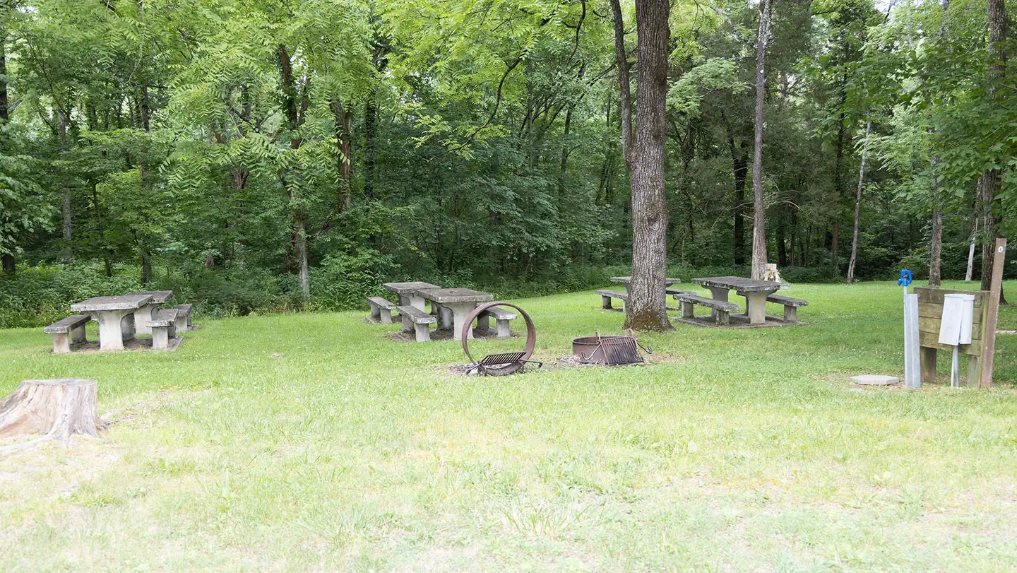
Stay nearby
Campgrounds near this trail
Similar length
Similar trails in Kentucky
Horine Reservation Red Trail
Kentucky
Double Arch, Courthouse Rock and Auxier Ridge Loop
Kentucky
East and West Pinnacle
Kentucky
Siltstone Trail
Kentucky
Courthouse Rock and Double Arch via Auxier Ridge Trail
Kentucky
Rough Trail and Gray's Arch
Kentucky