Status unknown — verify before visiting

We don't have current condition data for this trail. Check with the land manager before you go.

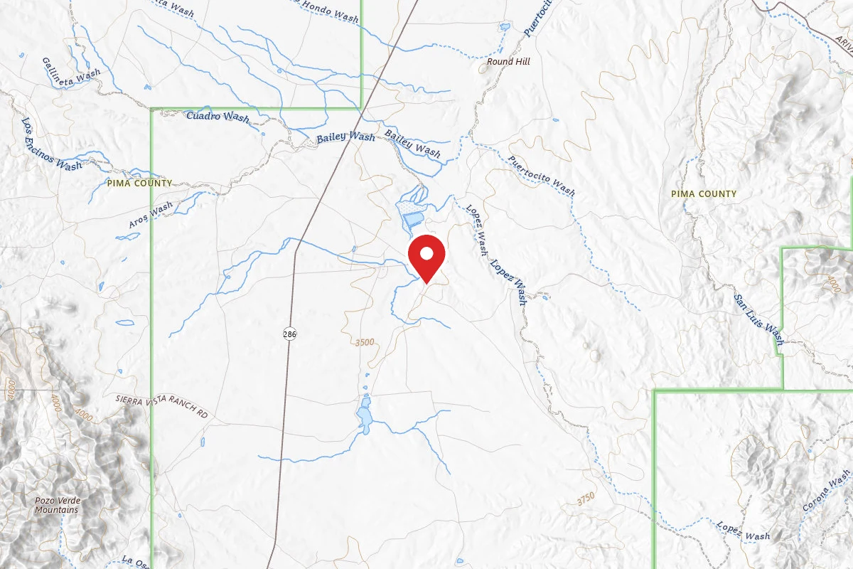
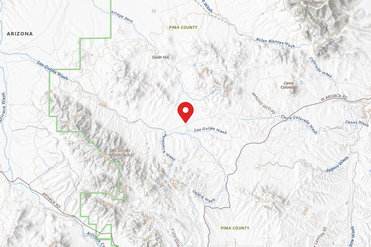
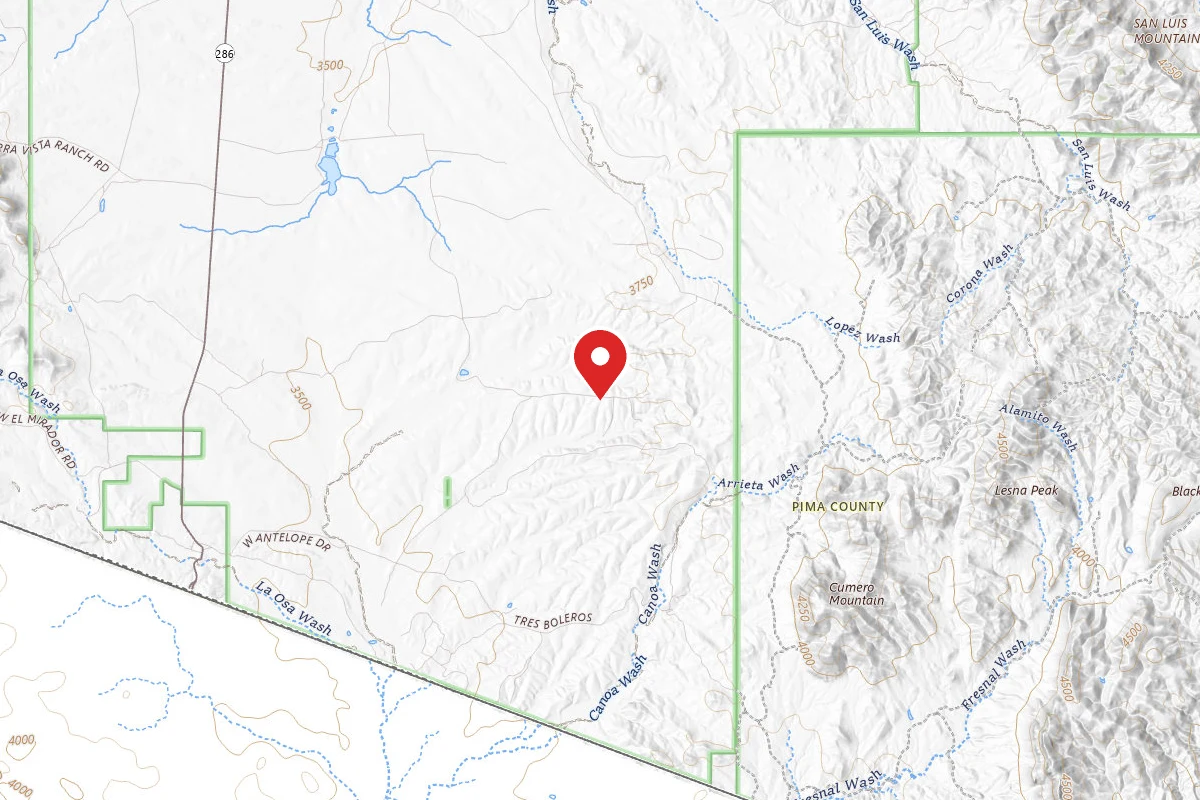
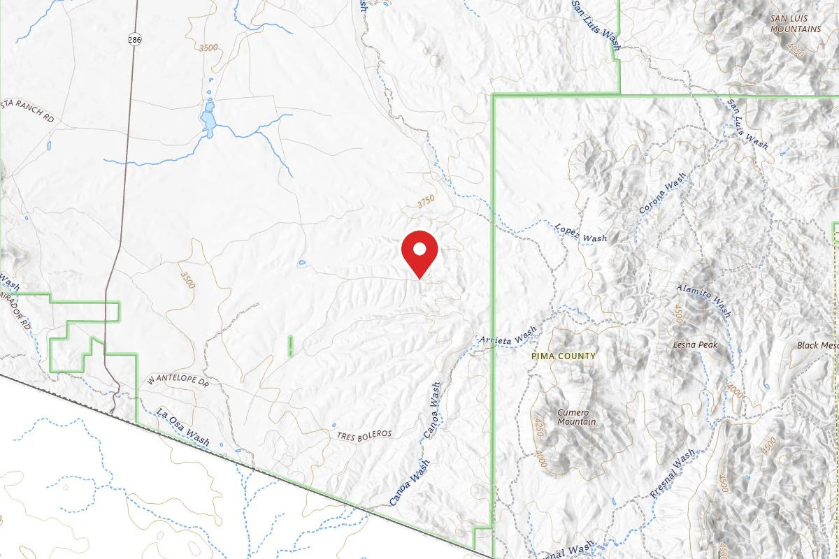
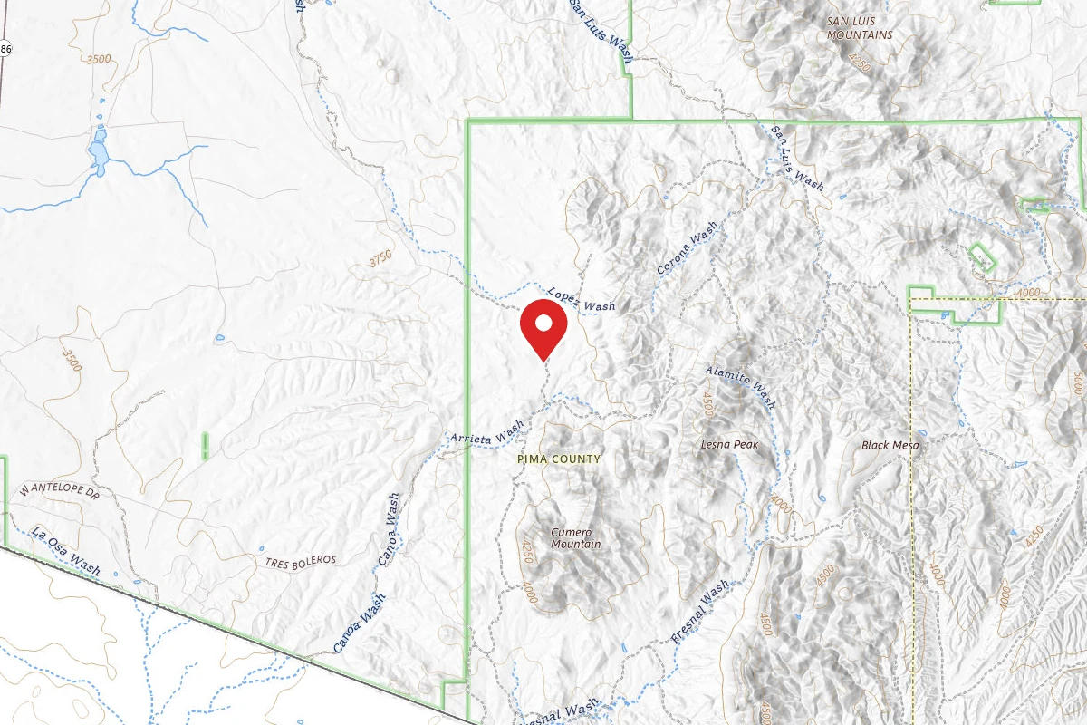
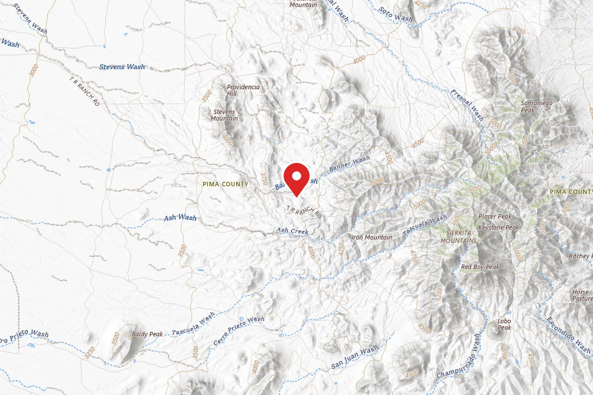
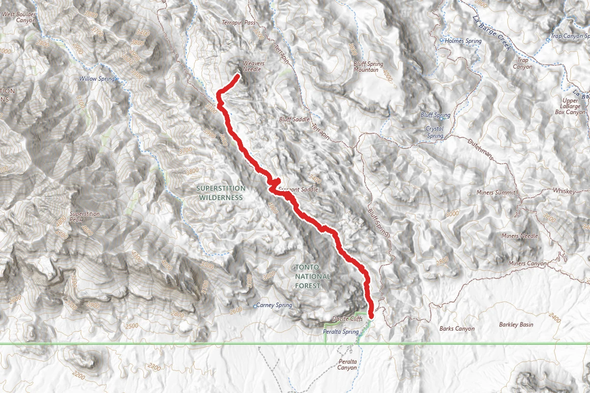
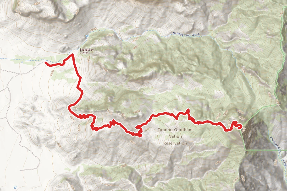
Baboquivari Peak via Summit Trail route map
ExpertOut and Back

Baboquivari Peak via Summit Trail

Topawa, Arizona

9.0 mi

Distance

5,085 ft

Elev. Gain

5h 7m

Est. Time

Out & Back

Route Type

Expert

Difficulty

About This Trail

Imported description
Fantastic remote hike on the Tohono O'odham reservation. The changing views and spectacular scenery are some of the best in AZ and well worth the trip. Sadly, the peak is inaccessible (without climbing gear and experience), but you can scramble up the rock face quite a ways past the tree line. The trailhead begins on the right side of the Baboquivari Mountain Tribal Park and gradually climbs through lower desert cacti and ocotillos. At one point there are some switchbacks through a "field" of ocotillos that is absolutely stunning in the spring when they are in bloom. The peak is not visible for most of the first half of the hike. Eventually you reach a point where you can look south into Mexico with a spectacular view of the mountain range. The trail continues to climb past a false peak (more of a rock bluff) before you finally get a good look at the real peak, a triangle of white rock towering above you. From here the trail begins to climb more steeply and soon the desert cactus and oaks give way to pines. The trail has some final steep switchbacks. Fortunately this section is nicely shaded in the trees before ending abruptly without much of a view. However, from here it is easy to scramble just a bit higher onto a rocky ledge above the trees. From here the view west across the Tohono O'odham reservation can appear to be a marvelous sea of green in the spring time if there have been good rains. You can follow the rock ledge up and around (however it is very loose footing) to where a trail picks up and then gets lost again in several places. It is possible to continue quite a bit higher to where Kitt Peak and views east become visible, however, the peak is inaccessible without technical climbing and gear. There is also a cave that is considered sacred by the Tohono O'odham people who often leave gifts there for their god, I'toi. The trail for the cave is not marked well, but it starts to the left of the parking area, crosses the wash and then climbs as far as you can go until you are against the rock face of the cliffs. There are many trails that intersect to the cave (many of them made by free ranging cattle). The cave itself is not very deep, with a small opening requiring some maneuvering to get in and out of as it drops down a few feet once you are inside. Finally, there is a turnoff from the road shortly before you come to the mountain park that leads out to a rock fin that rises from the desert floor. If you walk around the rock you can find several ancient petroglyphs. It is also possible to climb atop the rock formation for a great view of the Baboquivari range. A word of caution, mountain lions do frequent the area.

Trail Conditions

Trail Conditions

Unknown

We have no current condition data for this trail. Check with the operator before you go, and submit a report below if you've been recently.

No recent condition reports. Be the first to share what you see on the trail.

Elevation Profile

Min:1,080 ft
Max:2,254 ft
1,550 ft
1,550 ft
1,080 ft1,471 ft1,863 ft2,254 ft0.0 mi2.3 mi4.5 mi6.8 mi9.0 mi

Trail Details

Route Type
Out & Back
Surface
Dirt

Official sources & verification

We don't have curated agency sources for this trail in our cache yet. Outdoors is not the permitting authority — confirm conditions, permits, and access with the managing agency before you go. If you know who manages this trail, please tell us.

Reviews

No reviews yet

Be the first to share your experience and help others plan their visit.

Legacy import — verify before navigating

Path geometry came from our pre-launch legacy database. Routes have not yet been re-verified against the operator and may differ from the actual trail.

Hunt context

This trail crosses hunting unit

During hunting seasons, wear blaze orange and check regulations — see the Arizona hunting page

Spot an error in our data on Baboquivari Peak via Summit Trail?