Explore parks
2,085 parks
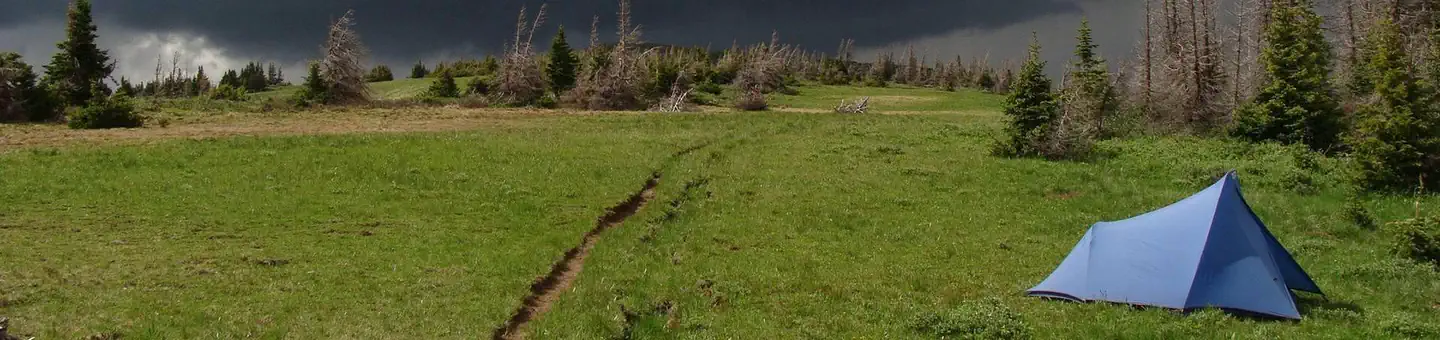
Continental Divide National Scenic Trail
New Mexico
The Continental Divide National Scenic Trail provides for high quality, scenic, primitive hiking and horseback…
Cooke's Range Wilderness Study Area
New Mexico
The Cooke's Range WSA is located in southern New Mexico about 60 miles from Las Cruces. The central feature in…

Cooper Lake
Oklahoma
When complete, will impound the South Sulphur River in Delta and Hopkins Counties.
Copan Lake
Oklahoma
About 4,850 acres of water is impounded behind this dam on the Little Caney River. The Corps also holds fee to…
Copper Basin Dunes OHV Area
Arizona
Within the Parker Strip Recreation Area, Copper Basin Dunes OHV Area offers an unrestricted playground for off…
Copper Mountain
Wyoming
The Copper Mountain WSA encompasses 6,858 acres of BLM-administered land without any inholdings or split estat…
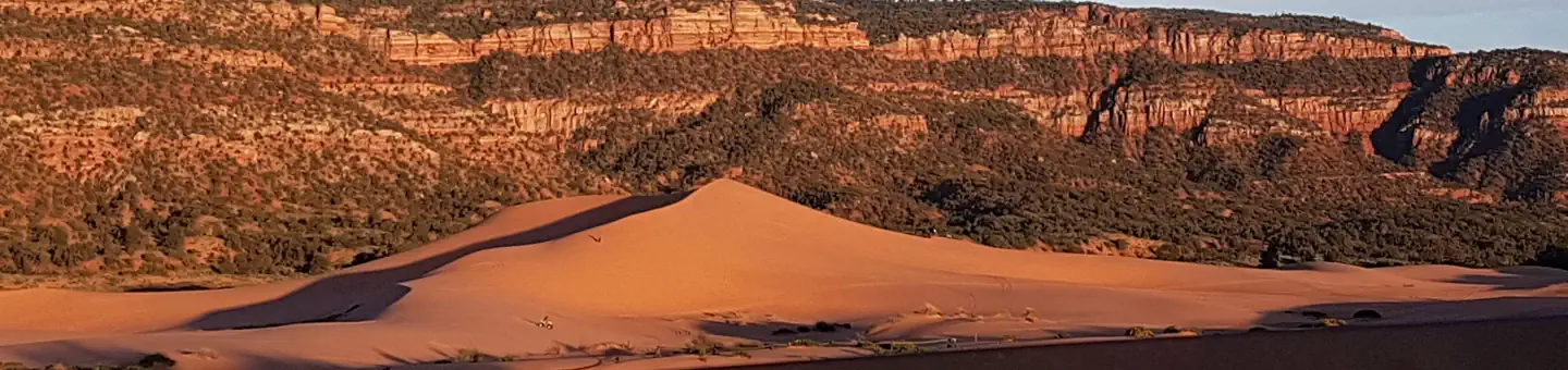
Coral Pink Sand Dunes
Utah
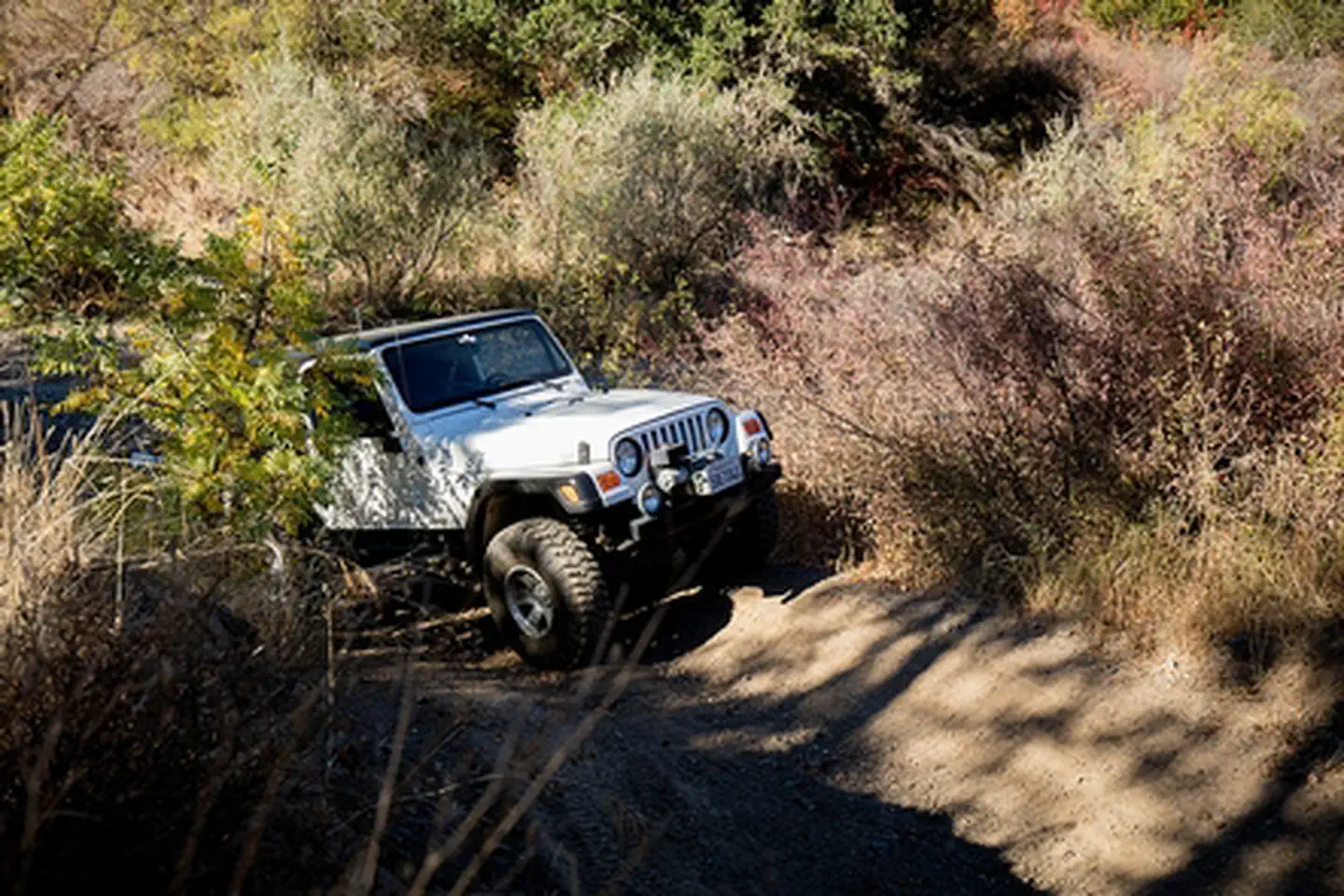
A popular off-roading venue is the Coral Pink Sand Dunes, located about 20 miles west of Kanab. Dunes enthusi…
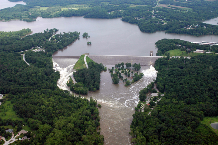
Coralville Lake
Iowa
Coralville Lake is a multiple use project providing primary benefits in flood control and low flow augmentatio…

Cordell Bank National Marine Sanctuary
California
Entirely offshore, Cordell Bank National Marine Sanctuary protects soft seafloor habitat, a rocky bank, deep-s…
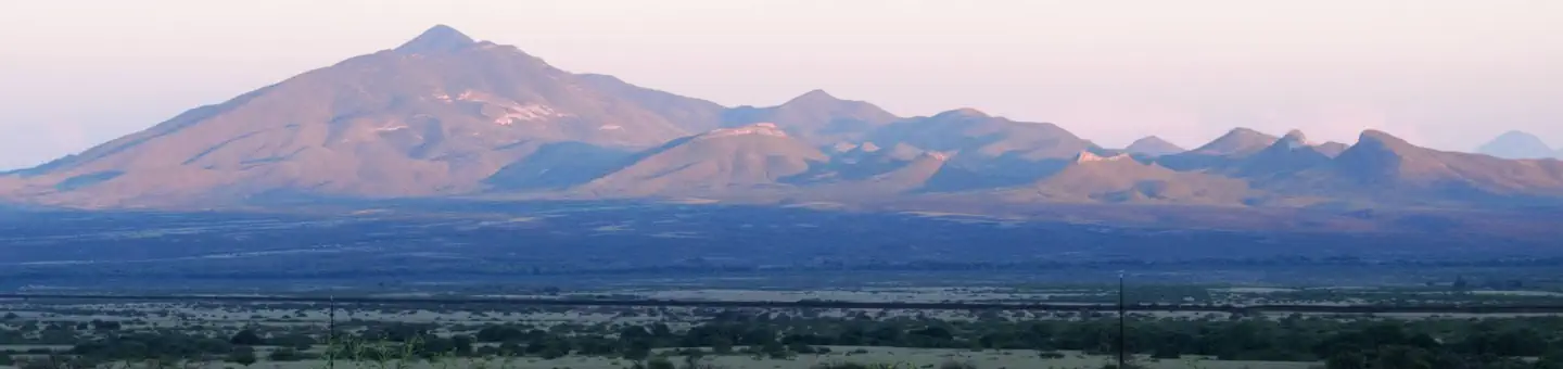
Coronado National Forest
Arizona
Coronado National Memorial
Arizona
It was a journey of conquest filled with exploration, wonder - and cruelty. Inspired by tales of vast cities o…
Cortez SRMA
Utah
This comparatively low-elevation (6,000-7,000 feet) area offers a unique combination of terrain, scenery, and …
Coso Range Wilderness
California
Encompassing the northern section of the Coso Range, this Wilderness preserves an area of extensive erosion re…
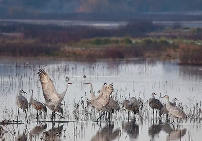
Cosumnes River
California
Remember your OUTDOOR ETHICS when enjoying your public lands. Please RECREATE RESPONSIBLY.Explore, learn, and …
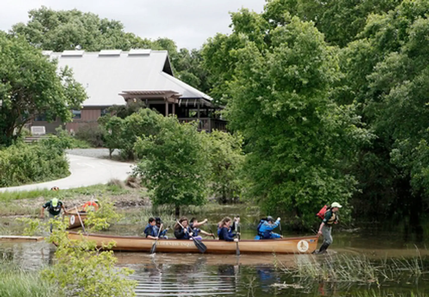
Cosumnes River Preserve Visitor Center
California
Remember your OUTDOOR ETHICS when enjoying your public lands. Please RECREATE RESPONSIBLY.The Visitor Center f…
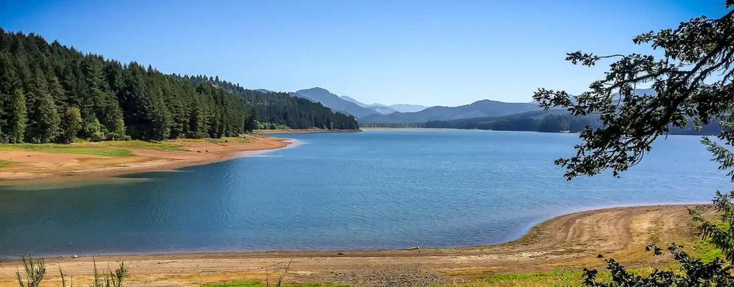
Cottage Grove Lake
Oregon
The lake and its shoreline set in the gently rolling hills of the Willamette Valley, is used for boating, swim…

Cottonwood Canyon Wilderness
Utah
The United States Congress designated the Cottonwood Canyon Wilderness in 2009 and it now has a total of 11,66…
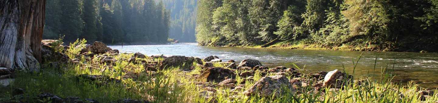
Cottonwood Field Office (BLM)
Idaho
Overview The Cottonwood Field Office (CFO) manages just over 131,000 acres of public lands. The CFO manages …
Cottonwood Point Wilderness
Utah
The 6,860-acre Cottonwood Point Wilderness is a backcountry treasure in Arizona along the Arizona-Utah border …

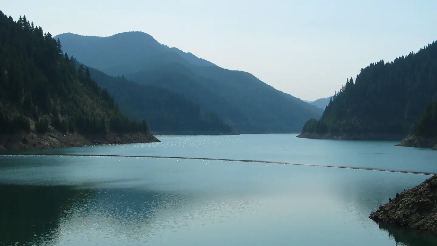
Cottonwood Springs Lake
Wyoming
Cottonwood Springs Dam, SD was constructed to reduce flood damages in the Fall River Basin. Located just 5 mi…
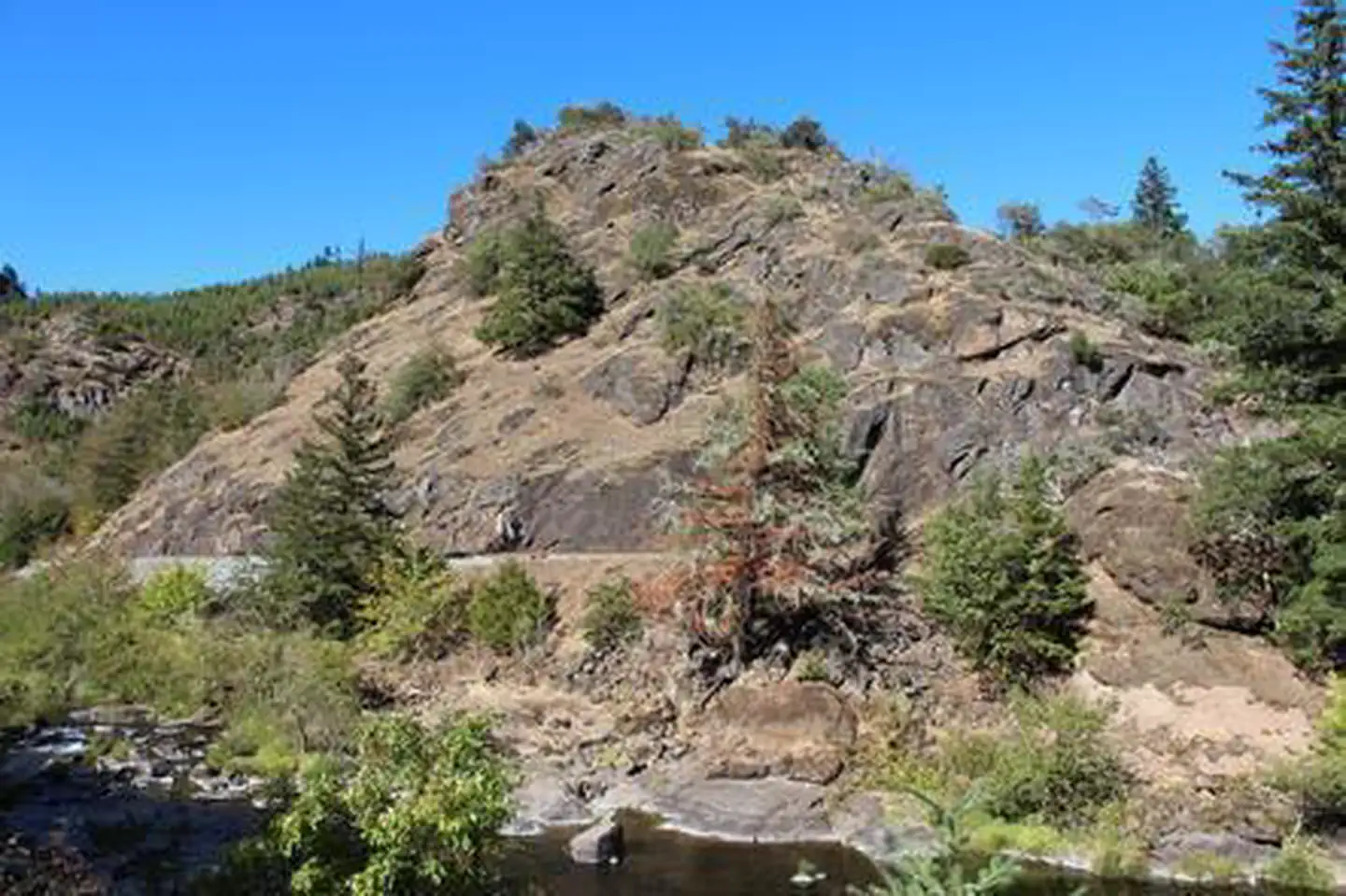
Cougar Canyon Wilderness
Nevada
The Cougar Canyon Wilderness now contains a total of 10,409 acres and is managed by the Bureau of Land Managem…
Cougar Lake
Oregon
With the beauty of the McKenzie River and a good reputation for trout fishing and several boat launches, this …
Cow Creek Back Country Byway
Oregon
Get ready for a beautiful drive through history as you follow the winding Cow Creek Back Country Byway. The ro…
Cow Mountain Recreation Management Area
California
Please visit the following sites for more information about North and South Cow Mountain. North Cow Mountain …