1 / 6
+1
Nat'l Recreation Area
Official sources & verification
Managed by Bureau of Land Management
Source of truth
- Cow Creek Back Country Byway — official page
Operator-published page with current visitor information.
- Agency source page
The page our published rules and notes are derived from.
Managing agency
- Bureau of Land Management
Find offices, alerts, and current orders for this agency.
Verify by phone or mail
- Operator:541-440-4930
- Email:BLM_OR_RB_Mail@blm.gov
- Address:OR
About
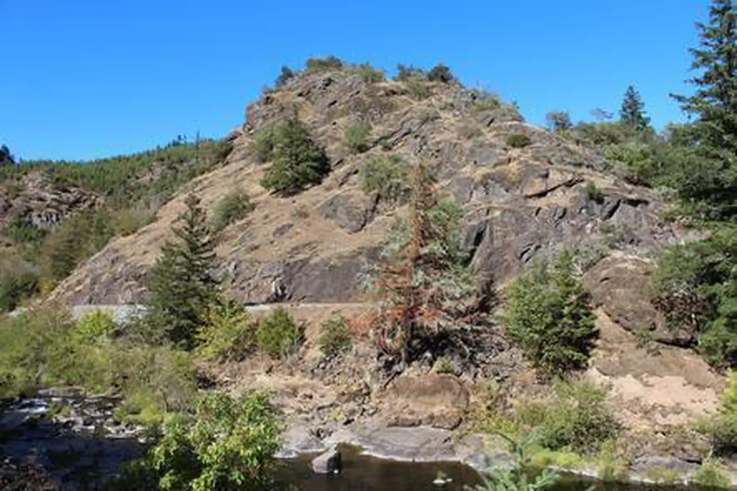
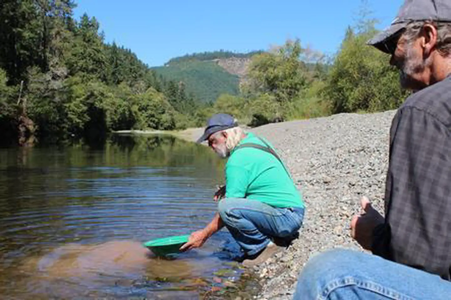
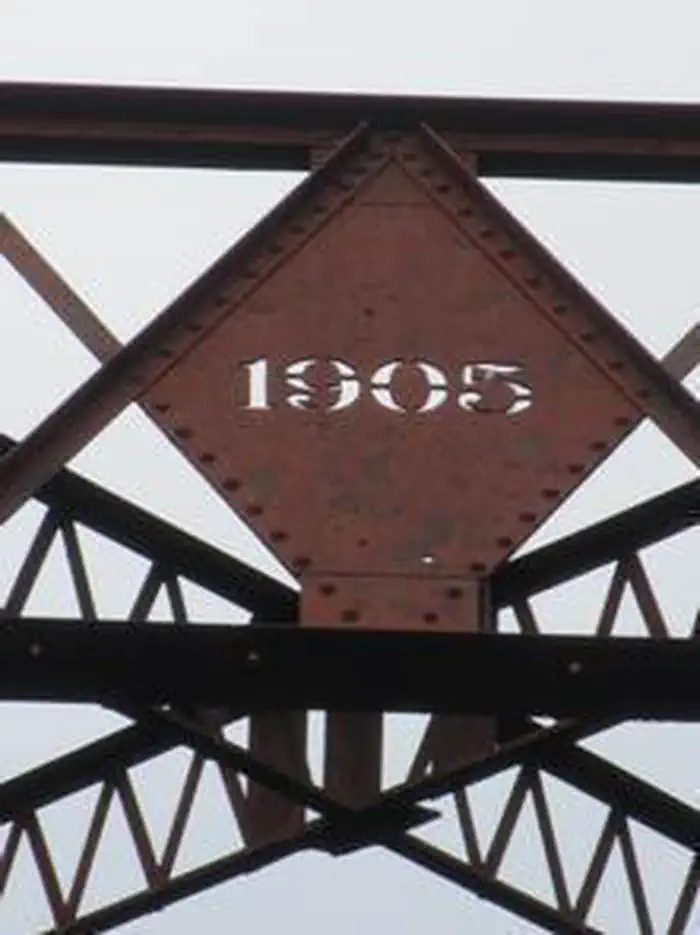
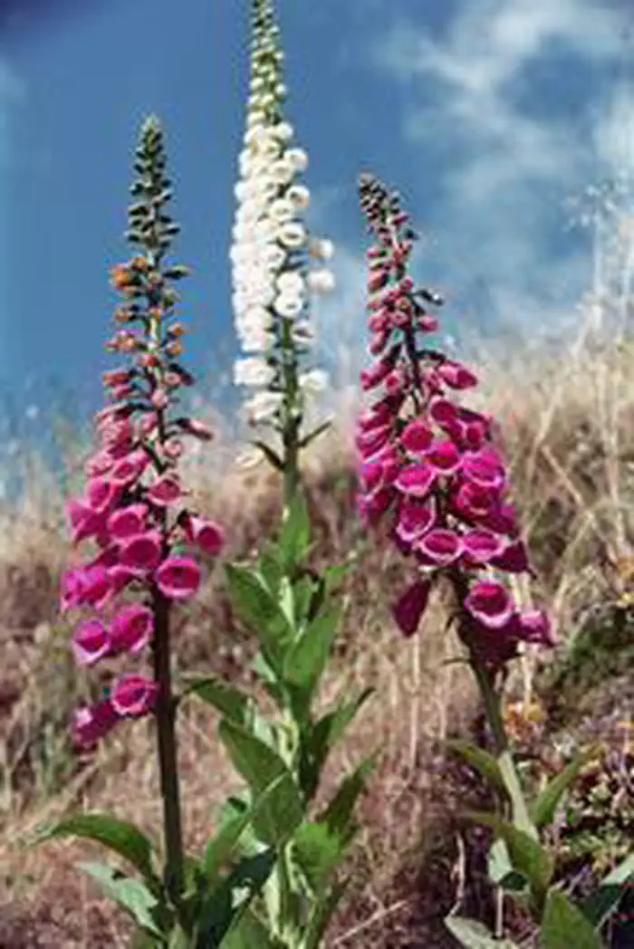
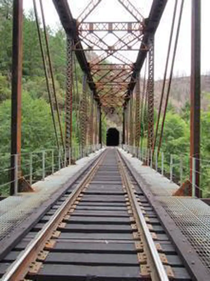
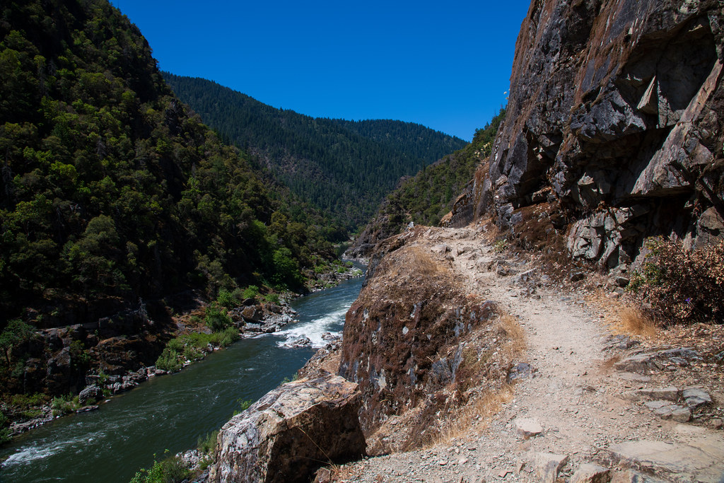
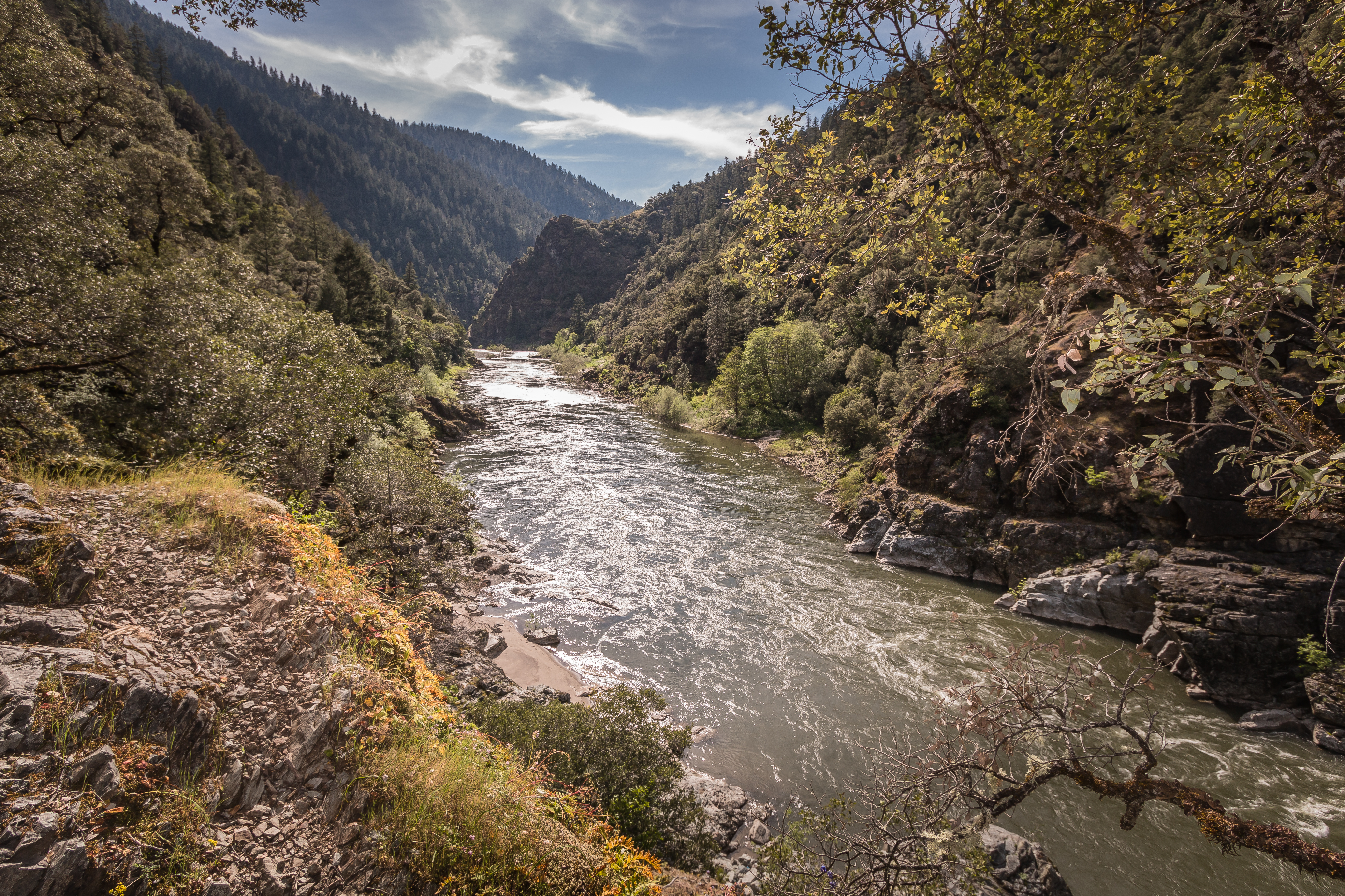
Imported descriptionGet ready for a beautiful drive through history as you follow the winding Cow Creek Back Country Byway. The route is 45-miles long and parallels Cow Creek most of your journey. This rustic two-lane road is a great alternative to Interstate 5 and connects the towns of Riddle and Glendale. Along the byway are interpretive signs that talk about the history of the long forgotten town of West Fork, the historic railroad, and gold mining in the area. The Island Creek Day Use Area is a great stop to stretch your legs, pan for gold, or have a creek-side picnic during your drive. Skull Creek Campground is a free first-come, first served campground offering up 5 sites for weary travelers.Know Before You GoThe railroad is still active and follows the original Oregon and California Railroad Company grade built in 1869.Portions of the surrounding forest land were burned in the Douglas Complex Fire in 2013.Be respectful and do not trespass on private mining claims marked along the creek.Stay alert on the blind corners as logging trucks are common.Point of InterestSpring is the best time to view the abundance of wildflowers. In summer, visitors can swim, fish, and pan for gold in Cow Creek. In autumn, enjoy the glorious changing foliage and the elusive salmon spawning.
Source: recreation.gov
From Wikipedia
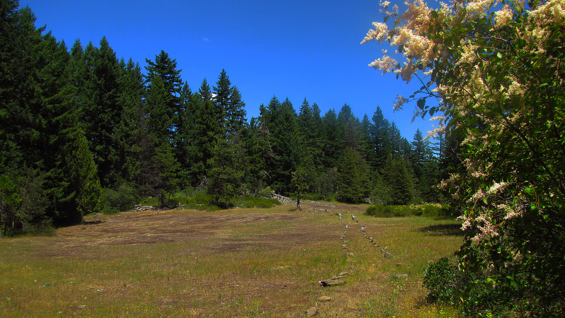
The Southern Oregon Coast Range is the southernmost section of the Oregon Coast Range, in the Pacific Coast Ranges, located in the southwest portion of the state of Oregon, United States, roughly between the Umpqua River and the middle fork of the Coquille River, beyond which are the Klamath Mountains. To the east is the Umpqua Valley and to the west the Pacific Ocean. This approximately 55-mile (89 km)-long mountain range contains mountains as high as 3,547 feet (1,081 m) for Bone Mountain. The mountains are known locally in the Roseburg area as the Callahan Mountains, or simply as The Callahans.
Source: Wikipedia — text licensed CC BY-SA 4.0. Verify alerts and operational details with the managing agency below.
Reviews
No reviews yet
Be the first to share your experience and help others plan their visit.
Hunting in this park
This park overlaps hunting units
During hunting seasons, wear blaze orange and check regulations — see the Oregon hunting page
Within ~100 miles
Parks near Cow Creek Back Country Byway
Nat'l Recreation Area
Park
China Ditch Automobile Loop
Oregon
Nat'l Recreation Area
Park
Rogue River National Recreation Trail
Oregon
Nat'l Recreation Area
Park
Rainie Falls Trail
Oregon
Wilderness Area
Park
Wild Rogue Wilderness
Oregon
Nat'l Recreation Area
Park
The Doerner Fir Trail
Oregon
Nat'l Recreation Area
Park
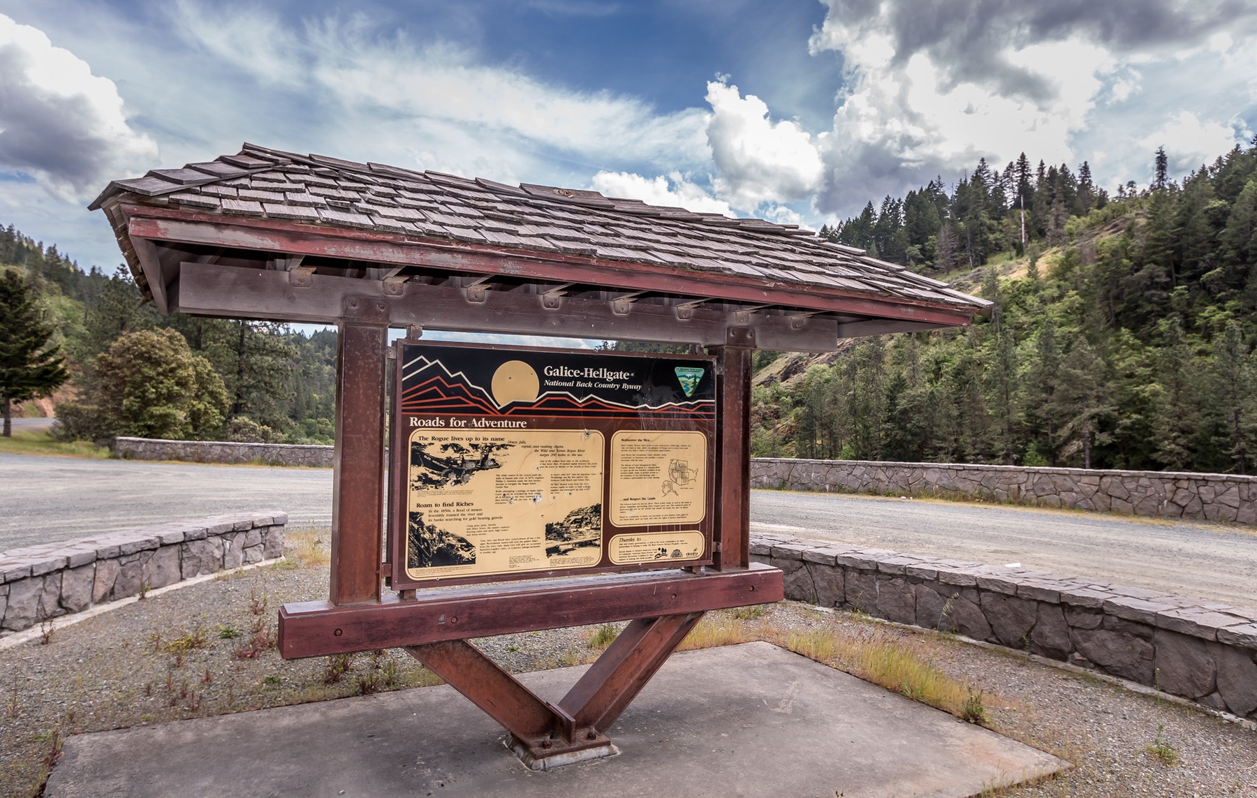
Galice-Hellgate Back Country Byway
Oregon
Same state
More parks in Oregon

Featured
National Park
Park
Crater Lake National Park
Oregon
286 sq mi
Featured
National Forest
Park
Mt. Hood National Forest
Oregon
1,667 sq mi
Nat'l Recreation Area
Park
Agate Reservoir
Oregon
recreation area
Park
Agency Lake Ranch
Oregon
Nat'l Recreation Area
Park
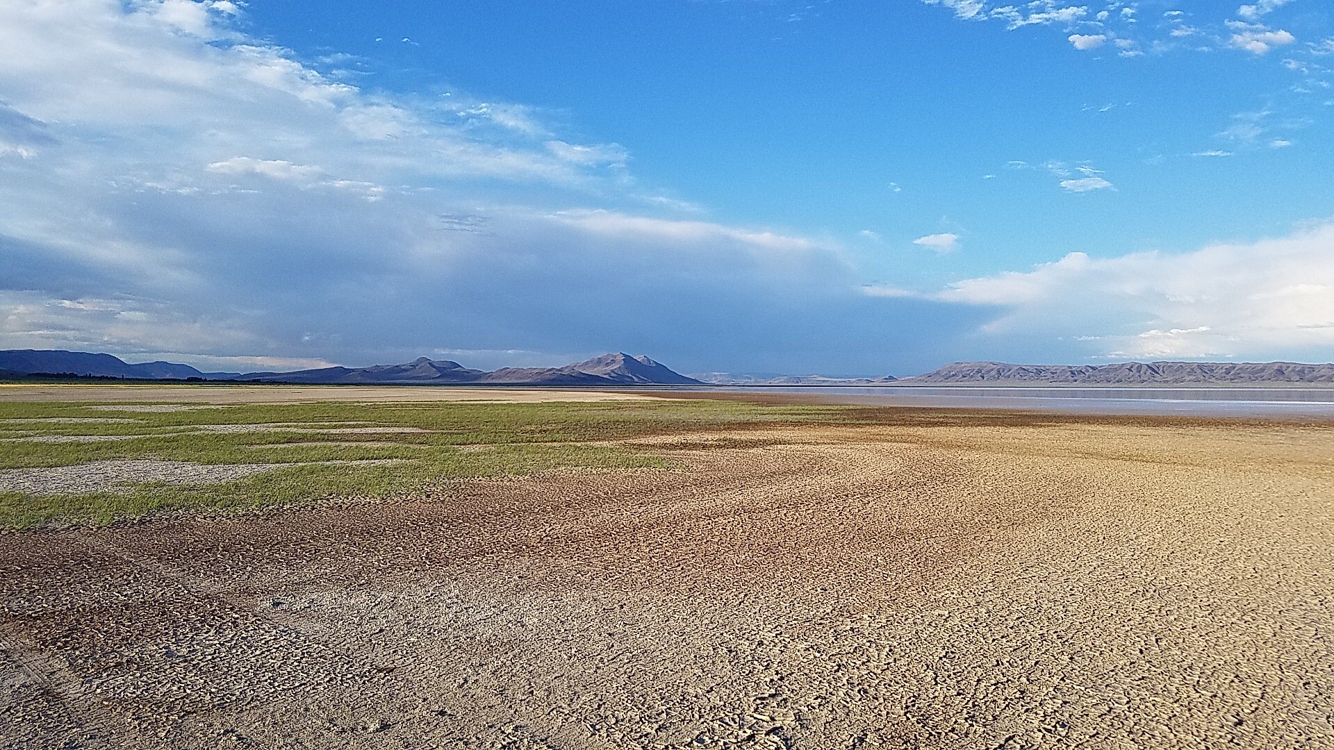
Alvord Desert
Oregon

wildlife refuge
Park
Ankeny National Wildlife Refuge
Oregon
Nat'l Recreation Area
Park
Baker Cypress Trail
Oregon
Nat'l Recreation Area
Park
Bandon Marsh National Wildlife Refuge
Oregon
Spot an error in our data on Cow Creek Back Country Byway?