No photos yet
Official sources & verification
Managed by National Recreation Area
Source of truth
- Agency source page
The page our published rules and notes are derived from.
Managing agency
- National Recreation Area
Find offices, alerts, and current orders for this agency.
Verify by phone or mail
- Operator:575-525-4300
- Email:BLM_NM_LCDO_Mail@blm.gov
- Address:NM
About
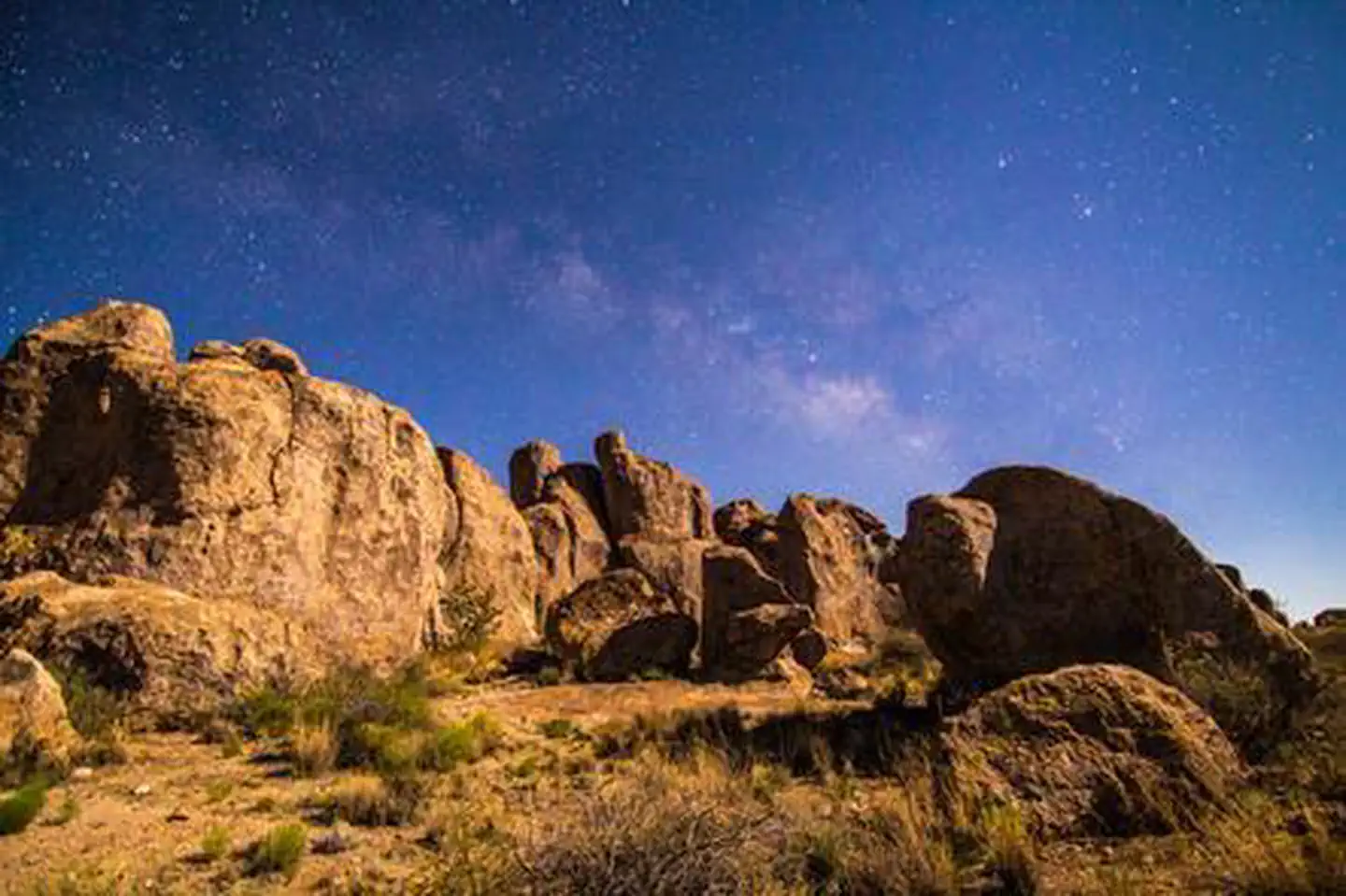
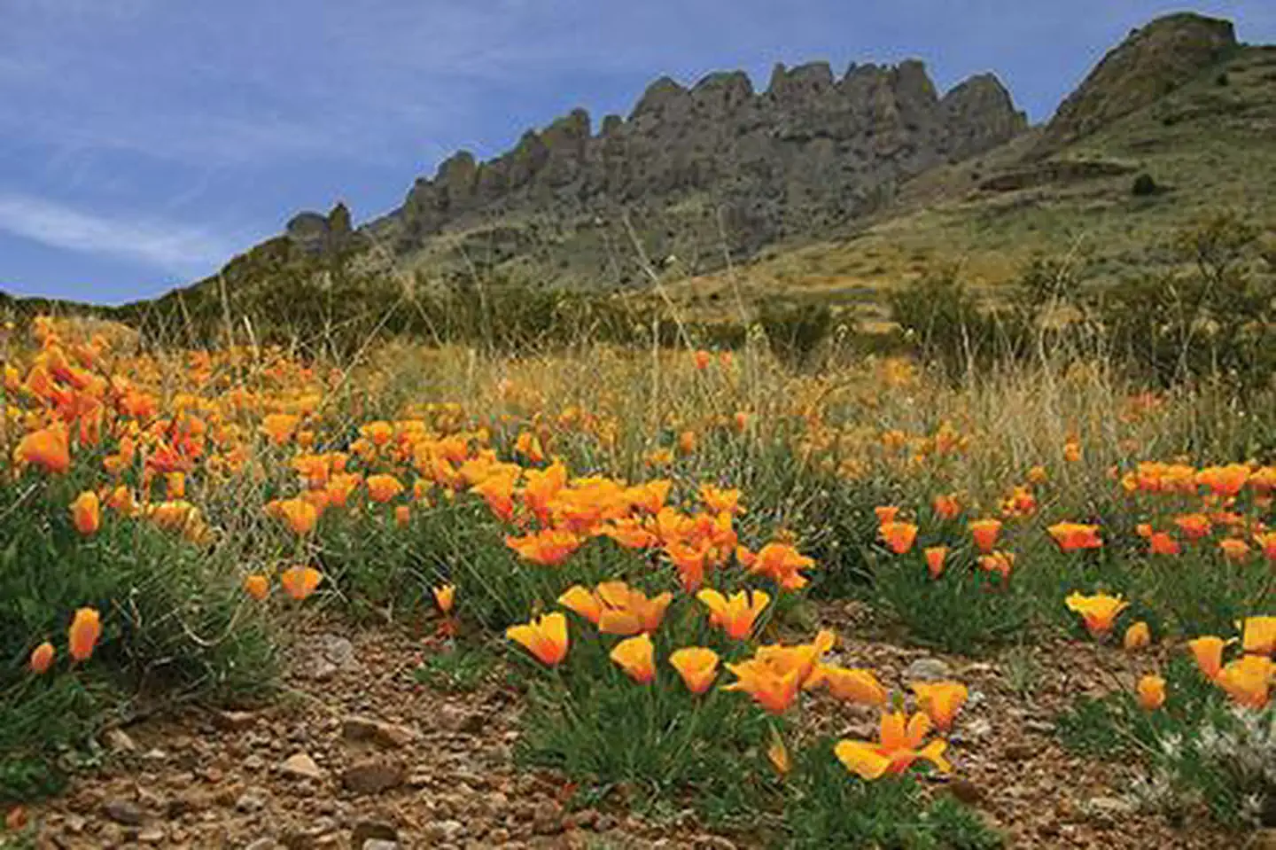
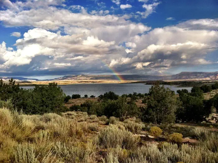
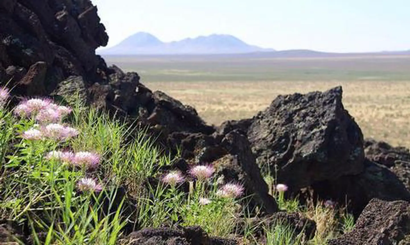
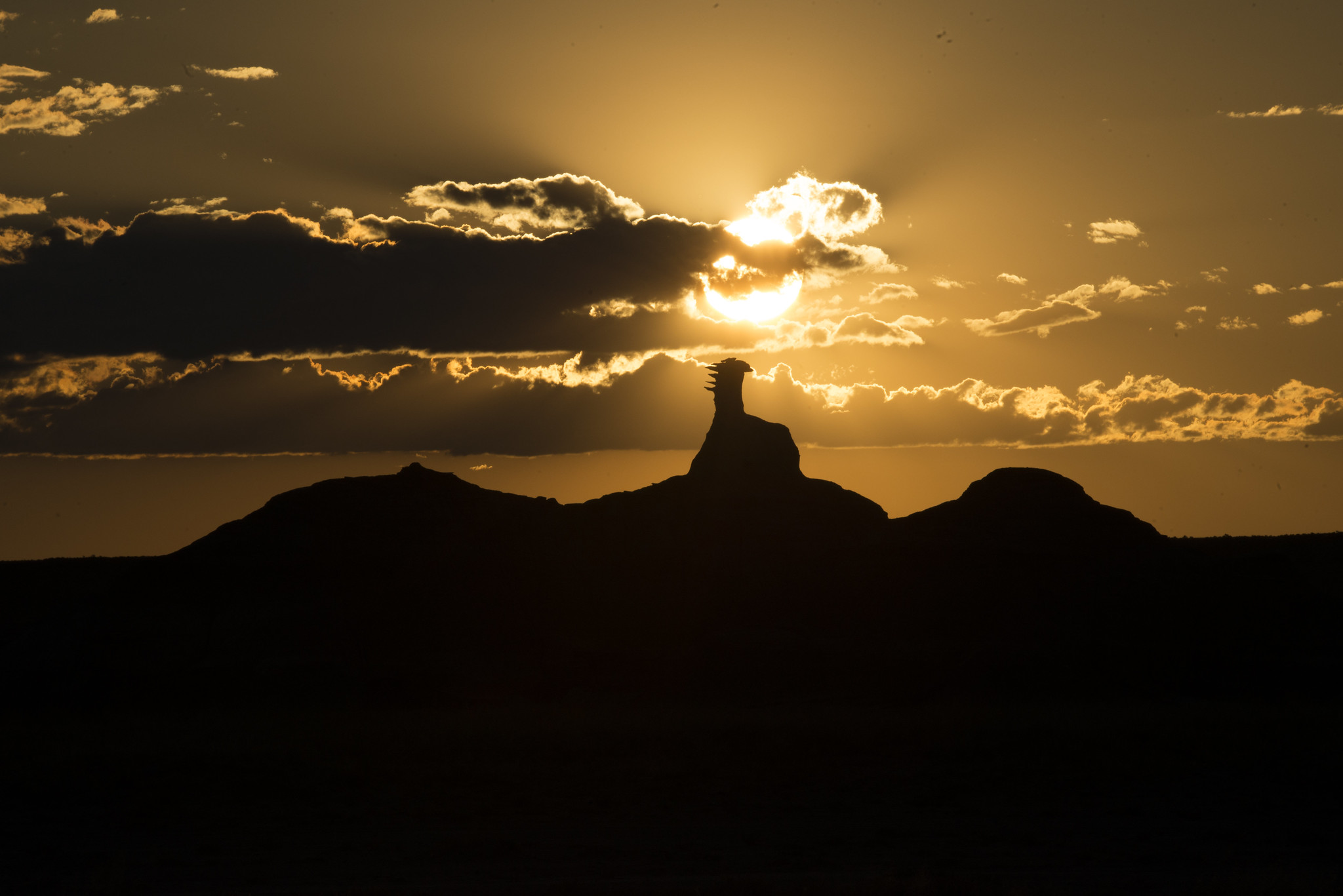
Imported descriptionThe Cooke's Range WSA is located in southern New Mexico about 60 miles from Las Cruces. The central feature in the WSA is Cooke's Peak, which rises over 3,600 feet above the surrounding plains. The northern portion is extremely rugged while the southern portion is rolling and includes open hills cut by deep canyons. Vegetation consists of piсon and juniper woodlands as well as mixed desert shrubs. The cliffs in the higher elevations provide nesting sites for birds of prey. Mogollon style petroglyphs are found at Frying Pan Spring.
Source: recreation.gov
Reviews
No reviews yet
Be the first to share your experience and help others plan their visit.
Hunting in this park
Hunting is generally prohibited in this National Park Service unit
Verify current park-specific rules with the National Park Service before planning any hunt. See NPS regulations
Within ~100 miles
Parks near Cooke's Range Wilderness Study Area
Nat'l Recreation Area
Park
City of Rocks State Park
New Mexico
Nat'l Recreation Area
Park
Lake Valley Historic Townsite
New Mexico
Nat'l Recreation Area
Park
Rockhound State Park
New Mexico
Nat'l Recreation Area
Park
Florida Mountains Wilderness Study Area
New Mexico
Nat'l Recreation Area
Park
Sierra de las Uvas Mountains Wilderness Area
New Mexico
Nat'l Recreation Area
Park
Percha Dam State Park
New Mexico
Same state
More parks in New Mexico
Featured
National Forest
Park
Gila National Forest
New Mexico
5,190 sq mi
Nat'l Recreation Area
Park
Abiquiu Lake
New Mexico
Nat'l Recreation Area
Park
Aden Hills Off-Highway Vehicle Area
New Mexico
Nat'l Recreation Area
Park
Aden Lava Flow Wilderness
New Mexico
Nat'l Recreation Area
Park
Aden Lava Flow Wilderness Study Area
New Mexico
Nat'l Recreation Area
Park
Ah-Shi-Sle-Pah Wilderness
New Mexico
Nat'l Recreation Area
Park
Alien Run Mountain Bike Trail
New Mexico
Nat'l Recreation Area
Park
Alkali Lake OHV Area
New Mexico
Spot an error in our data on Cooke's Range Wilderness Study Area ?