1 / 4
Nat'l Recreation Area
Official sources & verification
Managed by National Recreation Area
Source of truth
- Agency source page
The page our published rules and notes are derived from.
Managing agency
- National Recreation Area
Find offices, alerts, and current orders for this agency.
Verify by phone or mail
- Operator:970-240-5300
- Address:UT
About
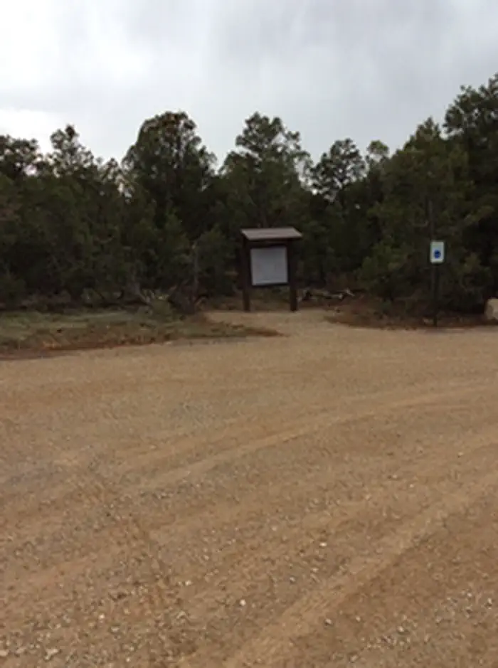
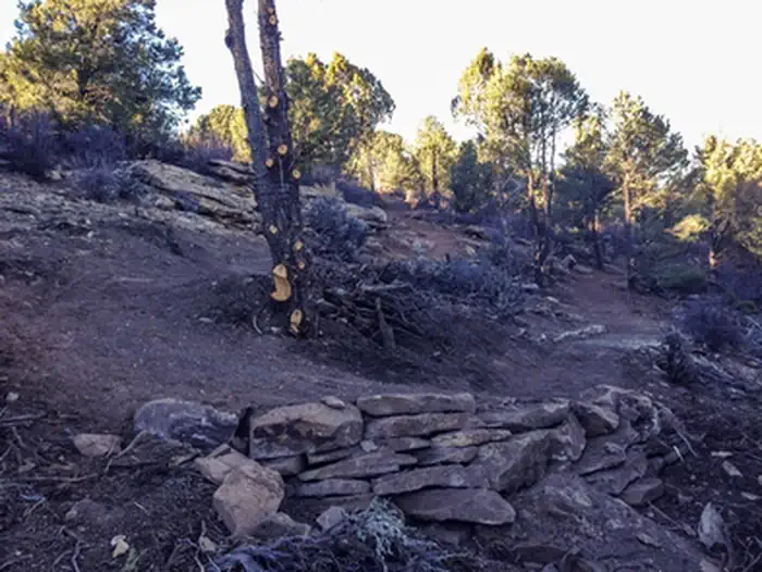
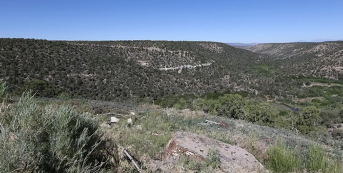
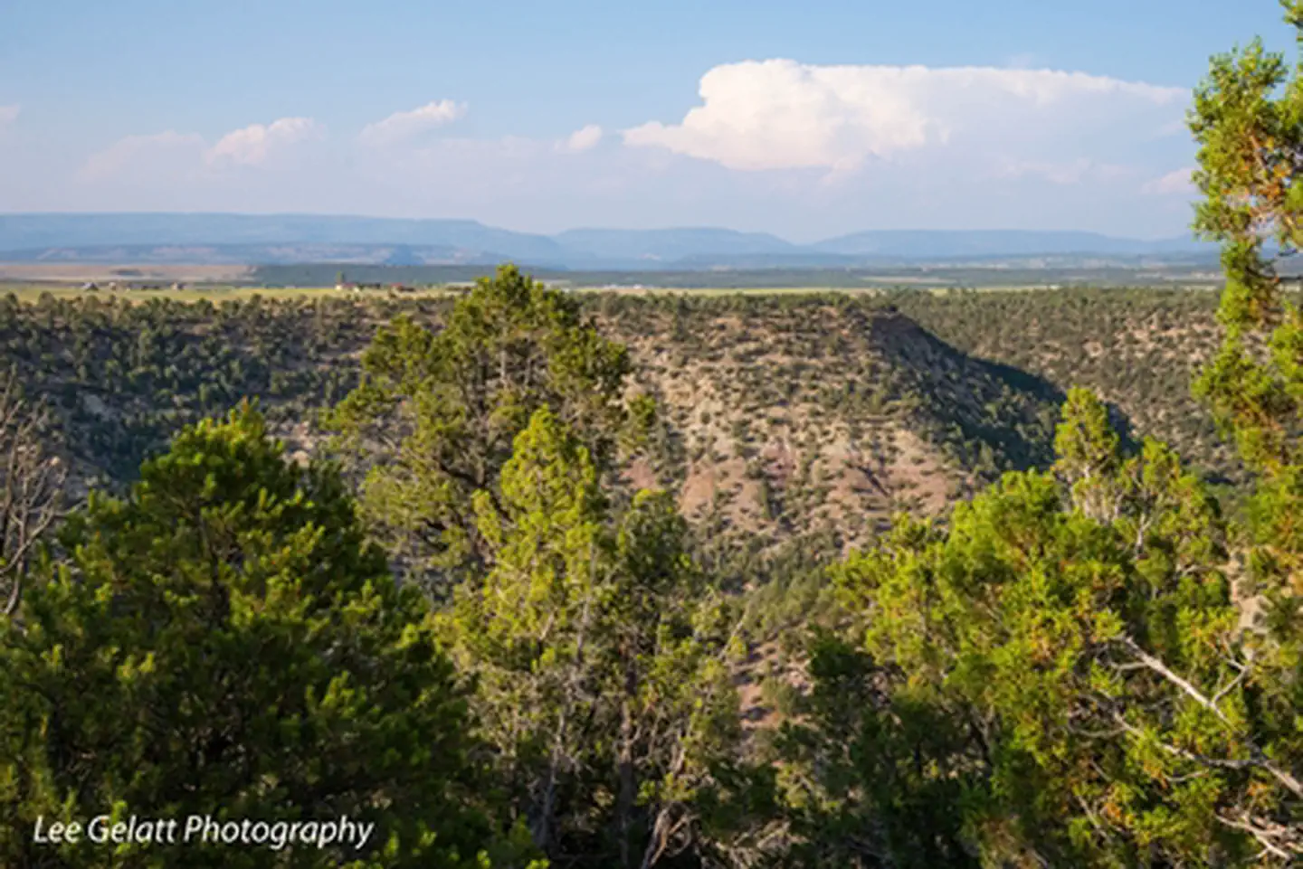
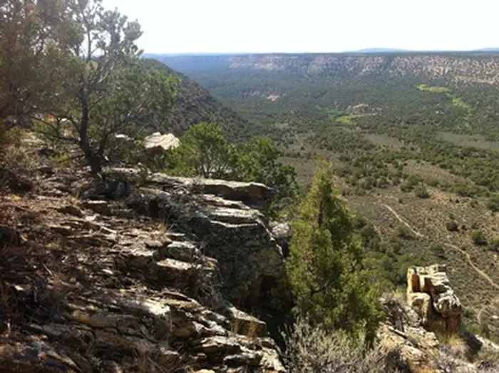
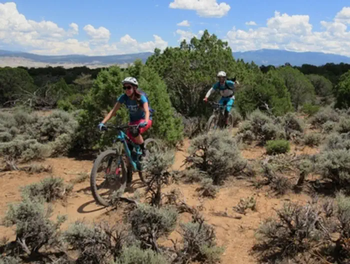
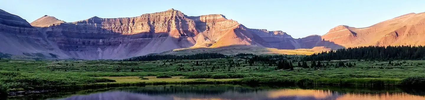
Imported descriptionThe Canyon Trail System is located just a few miles southwest of Norwood, Colorado. The area offers beautiful views of deep canyons with large cottonwoods and junipers, as well as mesa tops with panoramic views of Lone Cone Mountain, the La Sal Mountains of Utah, and the majestic San Juan Mountains. The upper parking lot provides access to the Burn Canyon MTB trails and the McKee Draw hiking trails. The first loop from the parking area is Buttermilk Loop. It is an easy warm-up loop suitable for all ages and abilities. The larger Pinyon Point Loop is a continuation of Buttermilk Loop and offer great views of Burn Canyon, Naturita Canyon and the mouth of McKee Draw. North from Pinyon Point Loop the Old Nelson Cut-off passes along the edge of Hideout Canyon and connects to the other two loops in this trail system. Cedar Post Loop is a fun, fast, smooth loop. Hideout Canyon is a continuation of Cedar Post Loop that is the most challenging loop in this trail system. It offers good views of Burn Canyon and the La Sal Mountains in Utah. Posey’s Spur Trail connects back to W35 road for an easy out back to the parking area.
Source: recreation.gov
Reviews
No reviews yet
Be the first to share your experience and help others plan their visit.
Hunting in this park
Hunting is generally prohibited in this National Park Service unit
Verify current park-specific rules with the National Park Service before planning any hunt. See NPS regulations
Within ~100 miles
Parks near Burn Canyon Trail System
Nat'l Recreation Area
Park
Unaweep-Tabeguache
Utah
Nat'l Recreation Area
Park
Lower Spring Creek Trail
Colorado
Nat'l Recreation Area
Park
Dominguez-Escalante National Conservation Area
Colorado
Nat'l Recreation Area
Park
Buzzard Gulch Trail System
Colorado
Nat'l Recreation Area
Park
Tabeguache Trail
Colorado
Nat'l Recreation Area
Park
Dolores River (CO)
Utah
Same state
More parks in Utah

Featured
National Park
Park
Arches National Park
Utah
120 sq mi

Featured
National Park
Park
Bryce Canyon National Park
Utah
56 sq mi

Featured
National Park
Park
Zion National Park
Utah
230 sq mi
Nat'l Recreation Area
Park
18 Road - North Fruita Desert
Utah

Nat'l Recreation Area
Park
Anasazi State Park Museum
Utah

Nat'l Recreation Area
Park
Antelope Island State Park
Utah
recreation area
Park
Armijo Route
Utah
Nat'l Recreation Area
Park
Ashley National Forest
Utah
Spot an error in our data on Burn Canyon Trail System?