No photos yet
Official sources & verification
Managed by National Recreation Area
Source of truth
- Agency source page
The page our published rules and notes are derived from.
Managing agency
- National Recreation Area
Find offices, alerts, and current orders for this agency.
Verify by phone or mail
- Operator:(435) 259-2100
- Email:utmbmail@blm.gov
- Address:UT
About
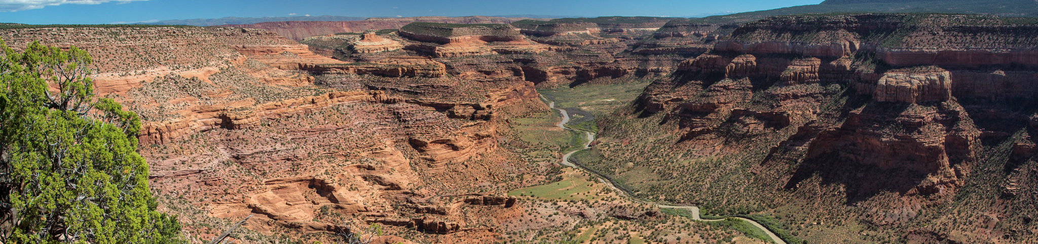
Imported descriptionThe lower stretch of the Dolores River offers technical rapids, stunning scenery, wildlife viewing, side-canyon hiking, and great camping. A free permit is required. Groups must read and adhere to all stipulations of the permit. Go to Recreation.gov to secure a free permit for floating the Dolores River. https://www.recreation.gov/permits/621749Rapids on this section of the Dolores River range from class I to class IV. The most challenging rapid is Stateline (class IV), which is at the Colorado-Utah border. This mile-long rock garden requires excellent scouting (from river right) and quick maneuvering at all water levels. A mistake made in this this rapid can result in a very long and dangerous swim. Many groups put in smaller craft below this rapid. Bring an adequate amount of drinking water as the Dolores and its tributaries are unfit for human consumption. Land ownership on the Lower Dolores is mixed; please respect the rights of private landowners.The main roadblock for running this stretch is a very erratic and short (sometimes non-existent) boating season. Flows generally peak between late April and early May. Suggested minimum flows (approximated) are: 200 cfs for canoes, kayaks, and duckies, 800 cfs for rafts less than 14 feet, and 1000 cfs for rafts larger than 14 feet. Current streamflow conditions are available on the U.S. Geological Survey website. For information on current levels at McPhee Reservoir, please visit the Dolores Water Conservancy District (DWCD) website.Private permits: There is no fee charged and you do not need to submit an application. Simply call (435) 259-7012 (Moab) or (970) 247-4874 (Tres Rios) between 8 a.m. and noon Monday through Friday (excluding Federal holidays) to obtain a permit. A last-minute reservation request or change to an existing permit can be easily accommodated if you have access to a fax machine. Please note that the permit must be signed by the trip leader and carried on the river to be authorized. By signing, the trip leader agrees to follow the River Use Stipulations that accompany the permit. Please leave your permit in the camp fee tube at the Dewey Bridge campground at the end of your trip. If you have questions, please call (435) 259-7012 (Moab) or 970) 247-4874 (Tres Rios)
Source: recreation.gov
Reviews
No reviews yet
Be the first to share your experience and help others plan their visit.
Hunting in this park
Hunting is generally prohibited in this National Park Service unit
Verify current park-specific rules with the National Park Service before planning any hunt. See NPS regulations
Within ~100 miles
Parks near Dolores River (CO)
recreation area
Park
Calamity Camp Mining Site
Utah
Nat'l Recreation Area
Park
Unaweep-Tabeguache
Utah
Nat'l Recreation Area
Park
Dolores River (UT)
Utah
recreation area
Park
Hideout Canyon Camping Area
Utah
Nat'l Recreation Area
Park
Dominguez-Escalante National Conservation Area
Colorado
Nat'l Recreation Area
Park
Burn Canyon Trail System
Utah
Same state
More parks in Utah
Featured
National Park
Park
Arches National Park
Utah
120 sq mi
Featured
National Park
Park
Bryce Canyon National Park
Utah
56 sq mi
Featured
National Park
Park
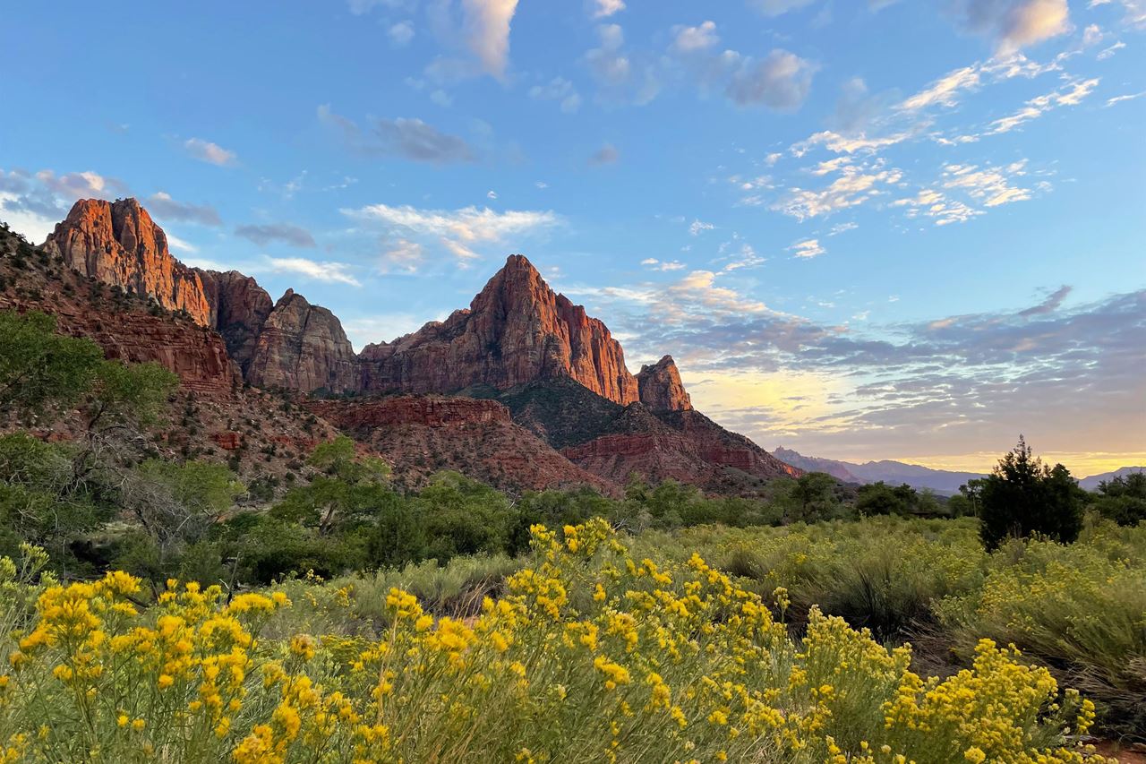
Zion National Park
Utah
230 sq mi
Nat'l Recreation Area
Park
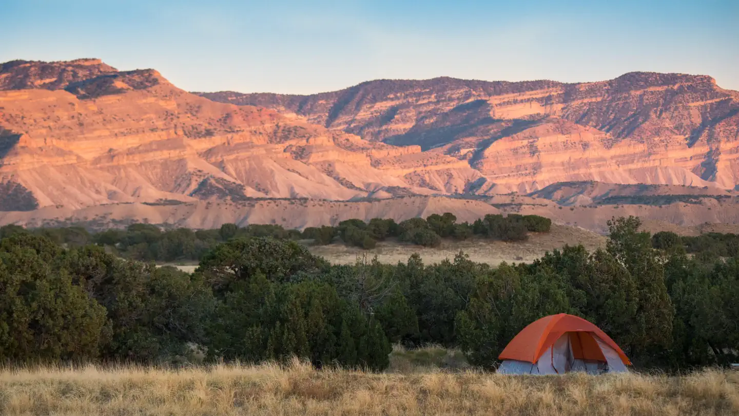
18 Road - North Fruita Desert
Utah

Nat'l Recreation Area
Park
Anasazi State Park Museum
Utah
Nat'l Recreation Area
Park
Antelope Island State Park
Utah
recreation area
Park
Armijo Route
Utah
National Forest
Park
Ashley National Forest
Utah
2,160 sq mi
Spot an error in our data on Dolores River (CO)?