Nat'l Recreation Area
Official sources & verification
Managed by National Recreation Area
Source of truth
- Agency source page
The page our published rules and notes are derived from.
Managing agency
- National Recreation Area
Find offices, alerts, and current orders for this agency.
Verify by phone or mail
- Operator:970-240-5300
- Address:CO
About
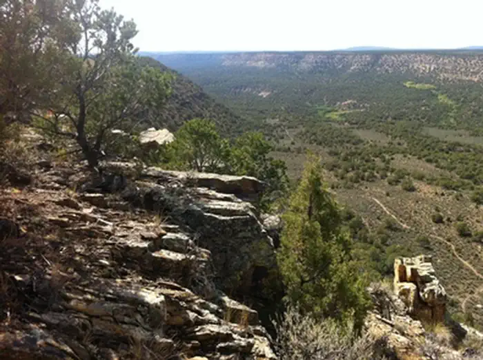
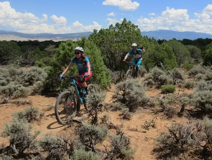
Imported descriptionThe Lower Spring Creek Trail is an 8-mile long, motorized single-track trail that branches from the Upper Spring Creek Trail about 2 miles west of the South Dave Wood Road Trailhead at the Forest Service boundary. Initially the route begins on a two track, then follows an ATV trail that goes out to the rim of Spring Creek. The Lower Spring Creek Trail begins at the bottom of a big descent. The trail heads down canyon through a thick canopy of Pinyon and Juniper trees. Much of the trail is rocky and technical – lots of fun. There is a hike-a-bike at the north end near the lower trailhead just off of Dave Wood Road. It can be done as an out and back from the north trailhead, but many riders shuttle the South Dave Wood Road section. For more information, please contact the Uncompahgre Field Office.
Source: recreation.gov
Reviews
No reviews yet
Be the first to share your experience and help others plan their visit.
Hunting in this park
Hunting is generally prohibited in this National Park Service unit
Verify current park-specific rules with the National Park Service before planning any hunt. See NPS regulations
Within ~100 miles
Parks near Lower Spring Creek Trail
Nat'l Recreation Area
Park
Buzzard Gulch Trail System
Colorado
Nat'l Recreation Area
Park
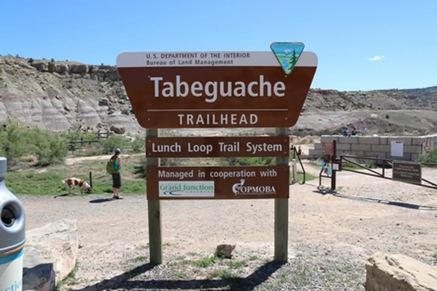
Tabeguache Trail
Colorado
Nat'l Recreation Area
Park
Flat-Top Peach Valley
Colorado
Nat'l Recreation Area
Park
Ridgway Reservoir
Colorado
Nat'l Recreation Area
Park
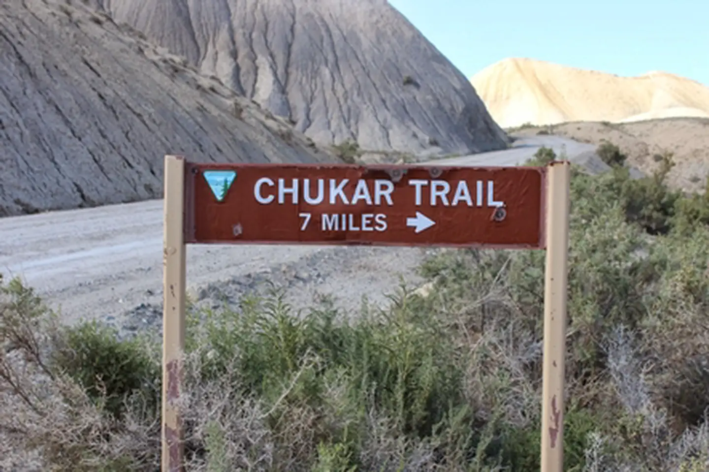
Chukar Trail
Colorado

National Park
Park
Black Canyon of the Gunnison National Park
Colorado
48 sq mi
Same state
More parks in Colorado

Featured
National Park
Park
Rocky Mountain National Park
Colorado
415 sq mi
Featured
National Forest
Park
White River National Forest
Colorado
3,572 sq mi
Nat'l Recreation Area
Park
Alamosa National Wildlife Refuge
Colorado
Nat'l Recreation Area
Park
Alpine Loop
Colorado
National Historic Site
Park
Amache National Historic Site
Colorado

Nat'l Recreation Area
Park
Arapaho & Roosevelt National Forests Pawnee NG
Colorado
National Forest
Park
Arapaho and Roosevelt National Forests
Colorado
2,403 sq mi
wildlife refuge
Park
Arapaho National Wildlife Refuge
Colorado
Spot an error in our data on Lower Spring Creek Trail?