1 / 3

Nat'l Recreation Area
Official sources & verification
Managed by National Recreation Area
Source of truth
- Agency source page
The page our published rules and notes are derived from.
Managing agency
- National Recreation Area
Find offices, alerts, and current orders for this agency.
Verify by phone or mail
- Operator:970-240-5300
- Address:CO
About
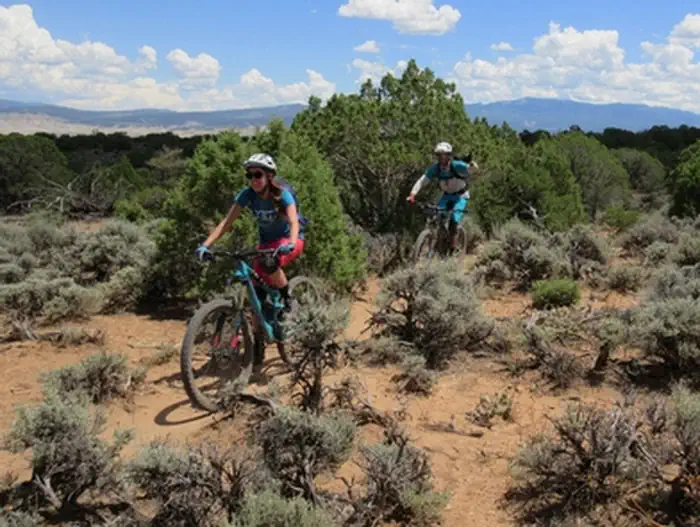
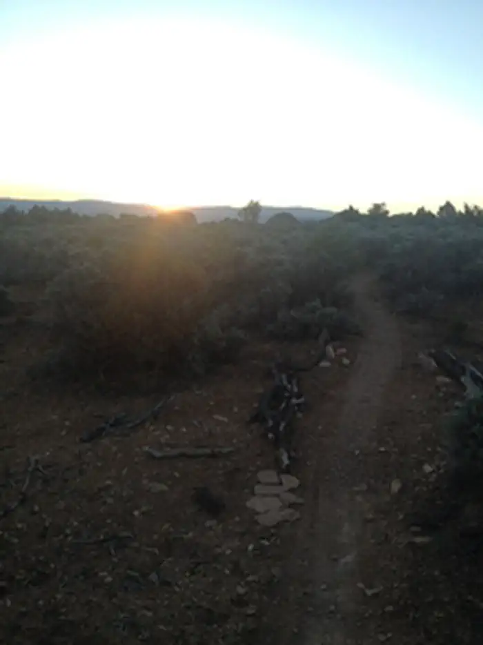
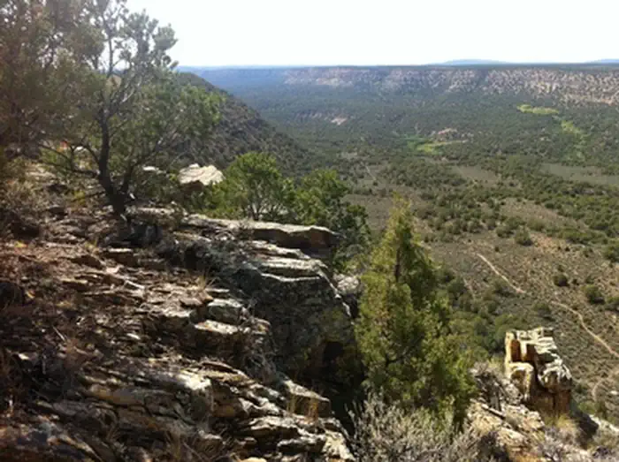
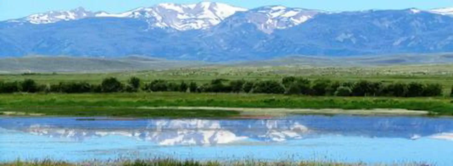
Imported descriptionLocated just west of Montrose, Colorado, the Buzzard Gulch Trail System has evolved into a wonderful renewed resource for non-motorized trail users. The landscape is classic canyon country -alternating between rocky and sandy terrain- with elevations ranging from 6,200 to 6,800 feet. Sparse pinyon, juniper, and big sagebrush offer limited opportunities for shade. While Spring Canyon Trailhead provides the best access, the trail system can also be reached from the Lower Spring Creek Trailhead along Dave Wood Road.
Designed and constructed as part of the Dry Creek Travel Management Plan implementation, the trail system is categorized as Non-Motorized Single Track, defined as routes of 36 inches wide or less intended for mechanized modes of transportation (such as mountain bikes), as well as foot and horse travel. Modest elevation changes provide a moderately easy challenge for mountain bikers. for more information, please contact the Uncompahgre Field Office.
Source: recreation.gov
Reviews
No reviews yet
Be the first to share your experience and help others plan their visit.
Hunting in this park
Hunting is generally prohibited in this National Park Service unit
Verify current park-specific rules with the National Park Service before planning any hunt. See NPS regulations
Within ~100 miles
Parks near Buzzard Gulch Trail System
Nat'l Recreation Area
Park
Lower Spring Creek Trail
Colorado
Nat'l Recreation Area
Park
Tabeguache Trail
Colorado
Nat'l Recreation Area
Park
Flat-Top Peach Valley
Colorado
Nat'l Recreation Area
Park
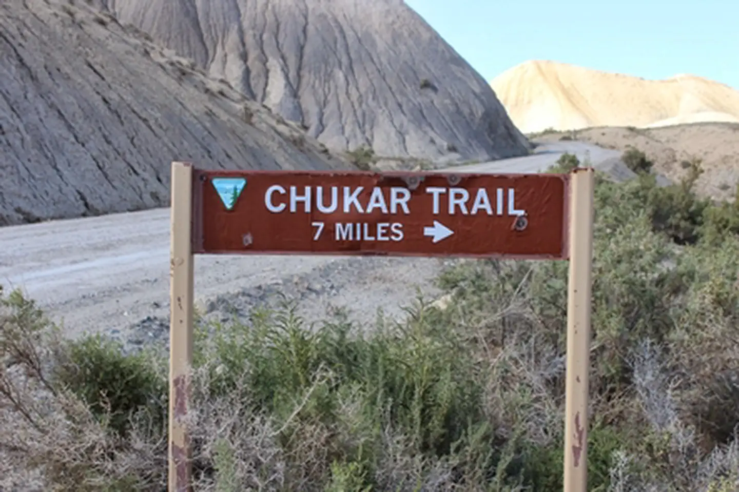
Chukar Trail
Colorado

National Park
Park
Black Canyon of the Gunnison National Park
Colorado
48 sq mi
Nat'l Recreation Area
Park
Gunnison Gorge Wilderness
Colorado
Same state
More parks in Colorado

Featured
National Park
Park
Rocky Mountain National Park
Colorado
415 sq mi
Featured
National Forest
Park
White River National Forest
Colorado
3,572 sq mi
Nat'l Recreation Area
Park
Alamosa National Wildlife Refuge
Colorado
Nat'l Recreation Area
Park
Alpine Loop
Colorado
National Historic Site
Park
Amache National Historic Site
Colorado

Nat'l Recreation Area
Park
Arapaho & Roosevelt National Forests Pawnee NG
Colorado
National Forest
Park
Arapaho and Roosevelt National Forests
Colorado
2,403 sq mi
wildlife refuge
Park
Arapaho National Wildlife Refuge
Colorado
Spot an error in our data on Buzzard Gulch Trail System?