The Highest Point in Texas Is a Fossil Reef
Guadalupe Peak tops out at 8,751 feet, and the limestone under your boots grew underwater on the edge of the Delaware Sea about 260 million years ago. The Park Service is specific about the builders: algae, sponges and bryozoans, not coral. The sea dried up and buried it, then faults pushed one block of it back into the sky. You climb 3,000 feet of that block out of the Chihuahuan Desert.

The highest ground in Texas is a reef. Not a rock that looks like one, and not a metaphor a ranger came up with. Guadalupe Peak is a piece of the Capitan Reef, which grew underwater along the edge of a sea that covered this part of Texas in the Permian, and it has been sitting up in the sky for the last twenty or thirty million years.
The trail to the top climbs about 3,000 feet out of the Chihuahuan Desert. What you are walking on the whole way is the reef.
- Summit: 8,751 ft, the highest point in Texas (NPS, and NGS survey mark CD0994 agrees exactly)
- Trailhead: Pine Springs, about 5,840 ft
- Elevation gain: 3,000 ft (NPS)
- Round trip: 8.4 miles, six to eight hours (NPS)
- The rock: Capitan limestone, roughly 260 million years old
- Nearby: El Capitan, “the thousand-foot high cliff” (NPS), at the south end of the ridge
- Land manager: Guadalupe Mountains National Park (National Park Service)
A reef that coral did not build
This is the part most people get wrong, us included until we read the park’s own geology page. The Capitan Reef is not a coral reef. NPS describes it as formed by “growth and accumulation of invertebrate skeletons of algae, sponges, and tiny colonial animals called bryozoans.” Sponges and algae did the structural work. Coral is barely in the story.
The water it grew in was the Delaware Sea, which NPS puts at about 150 miles long and 75 miles wide across what is now western Texas and southeastern New Mexico. The reef grew along its margin the way reefs do, for a long time, and then the sea stopped being replenished and began to evaporate.
What happened next is why any of it survived. As the water went, minerals dropped out of it and settled in thin alternating bands of salt and mud, and over hundreds of thousands of years those bands filled the basin and buried the reef completely. Sealed under sediment, it stopped eroding, and it stayed buried.
Then it came back up
NPS dates the next act to a shift in tectonics 20 to 30 million years ago, which opened steep faults and pushed a long-buried block of the reef several thousand feet above where it had been lying. Wind and rain then stripped the softer material off the top of it.
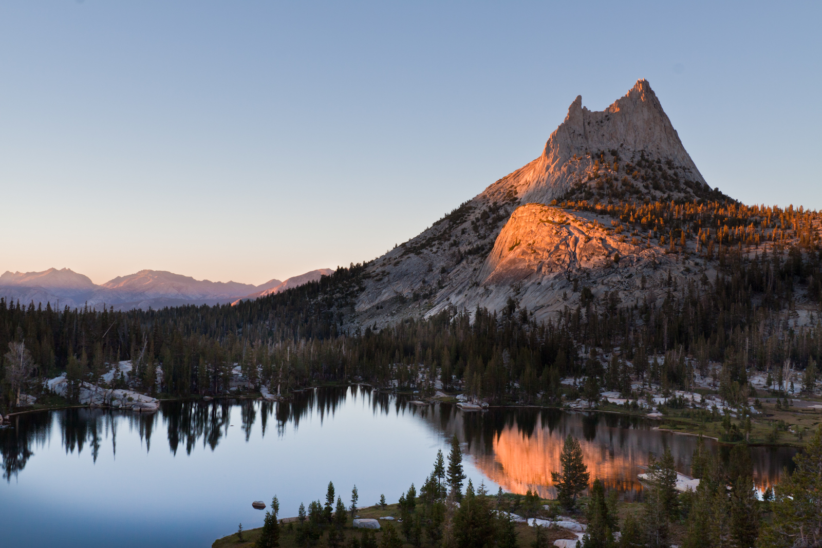
That block is the Guadalupe Mountains. The south end of it, the prow you see from the highway, is El Capitan: a thousand feet of Capitan limestone standing over the desert, and the feature NPS calls the most striking in the park. Guadalupe Peak is the high point just behind it, a few hundred feet taller and far less photographed. (We do not put a number on El Capitan. Published figures say 8,085 ft, OpenStreetMap says 8,064, and the federal terrain data says 8,099. Thirty-five feet apart is not agreement, so we quote the park’s description instead of picking a winner.)
What we measured
The flythrough follows the mapped trail exactly. We use four unmodified OpenStreetMap ways, joined at shared node IDs, and all three joins have a gap of 0.0000 m, so 0.00% of the line is fabricated and nothing was bridged. The final way runs 71 metres past the high point across the summit block, so we cut it at the summit rather than flying past it.
We fly it over USGS 3DEP elevation data, checked against the National Map’s point-query service, which reads the same survey but shares no code with our tiles. They agree to within 1.7 ft at the trailhead, the midpoint and the summit.
The summit is the unusual part. Most peaks we fly have sources that disagree, and we end up refusing to say a number out loud. Here the NPS elevation and the National Geodetic Survey’s benchmark both read 8,751 ft, and our own terrain model puts the high point at 8,749, five metres from where the surveyors set their mark. So the reel says the figure.
One footnote for anyone who goes looking: that NGS benchmark is designated “EL CAPITAN,” and it is not on El Capitan. It sits on Guadalupe Peak, about a mile north of the cliff it is named after.
We say nothing about distance out loud. NPS publishes 8.4 miles round trip; our mapped chain measures 8.2. Close, but not the same number, so the reel speaks the gain instead.
Going
It is a long day hike rather than a technical climb, and NPS rates it strenuous: six to eight hours for most people, on steep and rocky trail the whole way. The first section is the steepest part. After that it eases, passes through a stand of trees, crosses a wooden bridge, and tops out on a false summit with the real one still ahead.
Go early. The heat, the wind and the afternoon storms are all easier problems at seven in the morning than at two in the afternoon, and the summit is a better place to be when you are not watching the sky.