National Forest
Phillip's Ridge
Verify with the local Forest Service ranger district
Forest Service campgrounds vary by district. Fire restrictions, road conditions, and operating dates are set locally and change seasonally. Call the ranger district to confirm.
Pricing
Check official pricing0.0
0 Reviews
Official sources & verification
Managed by US Forest Service
Source of truth
- Agency source page
The page our published rules and notes are derived from.
About
Difficulty: Intermediate Trail Use: HeavyLength: 8.97 miles from jct with Arrow Trail #4001A to jct with Phillips Canyon Trail #4001Elevation: 8027 ft at jct with Arrow Trail, 8171 ft at jct with Snotel Trail, 6393 ft at jct with Phillips Canyon TrailOpen to: Hikers, Equestrian, Mt BikesTrail Highlights:From the Arrow Trail junction, the trail climbs up through tight lodgepole forest, crossing a dirt road, and eventually popping out on the ridge with spectacular views. From here the trail turns and follows along the ridge for several miles, paralleling the road. The trail continues along the ridge through aspen and pine forest with great views of the valley. It eventually drops down and crosses the road and starts to head down the ridge.The trail goes through more tight lodgepole and spruce forest, crossing a rocky section known locally as “Rock World”, where the trail crew has constructed the trail out of rock, offering a great technical mountain bike section.Past Rock World, the trail enters “Wiggle World”, where it descends down the ridge in a series of switchbacks. It eventually reaches the bottom where it meets up with the Phillips Canyon Trail.Options:A popular loop with this trail is with the Arrow Trail. You can go down Arrow Trail to the Phillips Canyon Trail, follow that down and take the ridge trail back. The trail was constructed for easy climbing out of the valley so it makes a nice return trip.Another connection for a shorter loop is with the Snotel Trail.Important InformationThis is a heavily used, multi-use trail. Please be respectful, keep your speeds in check if biking, and follow the right- of-way rules. Please keep your dogs under control and pick up the poo.Always check the kiosk at the Trailhead for important information pertinent to the trail.This trail is located on the USGS quad map for Rendezvous Peak and Teton Village. For the Teton Pass Trail map click here.
Reviews
No reviews yet
Be the first to share your experience and help others plan their visit.
In this park
Trails at Teton National Forest
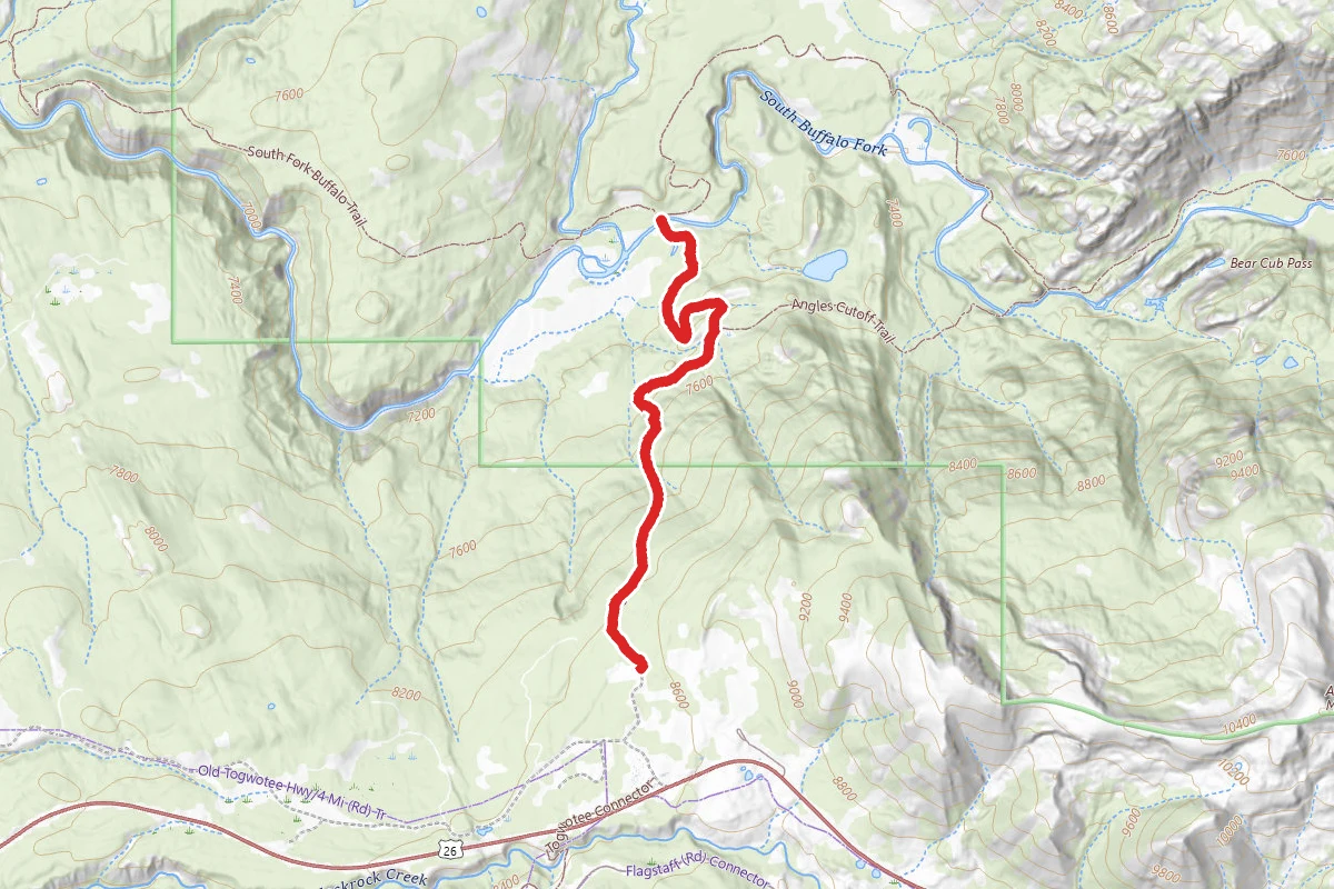
Angles Trail
Wyoming
Difficulty: Easy2.7 mi115 ftelevation gain
Holmes Cave
Wyoming
Difficulty: Easy0.1 mi56 ftelevation gain
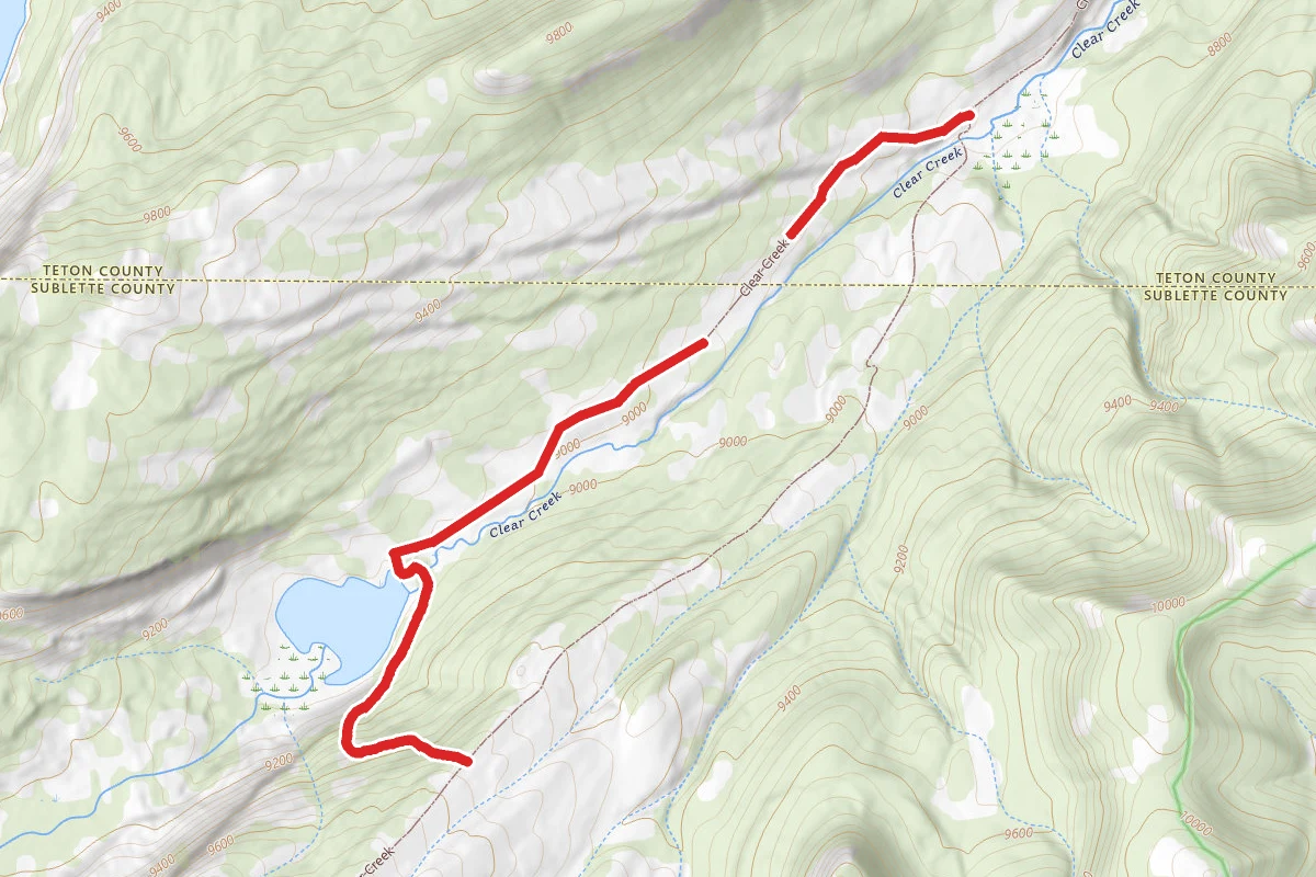
Clear Creek Lake
Wyoming
Difficulty: Moderate2.2 mi791 ftelevation gain
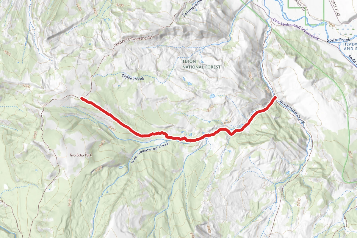
West Goosewing Creek
Wyoming
Difficulty: Difficult3.3 mi1,627 ftelevation gain
Watertank Road
Wyoming
Difficulty: Easy0.3 mi118 ftelevation gain
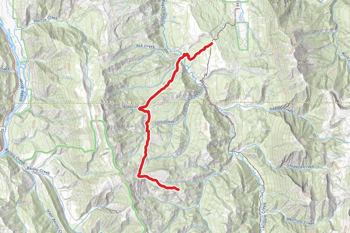
Alder Cr
Wyoming
Difficulty: Expert7.2 mi2,779 ftelevation gain
Within ~30 miles
Trails near Phillip's Ridge
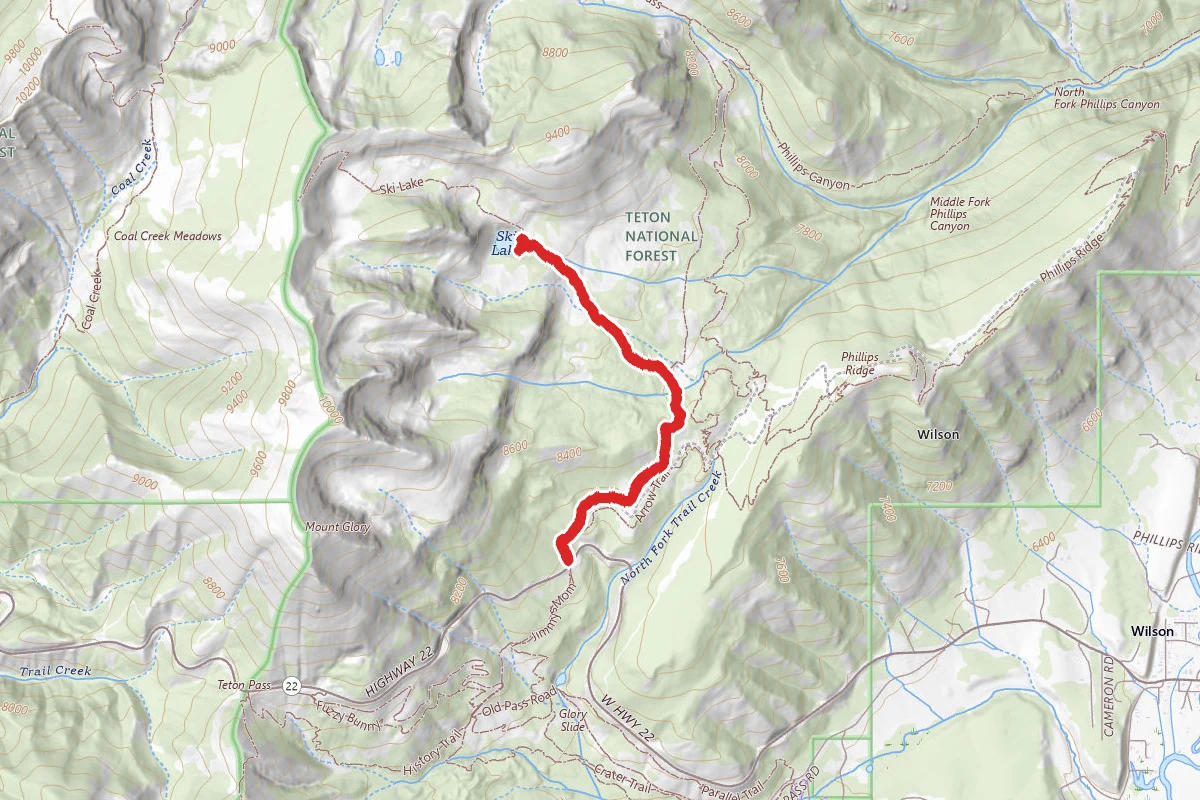
Ski Lake Trail
Wyoming
Difficulty: Moderate4.5 mi1,309 ftelevation gain
Trail
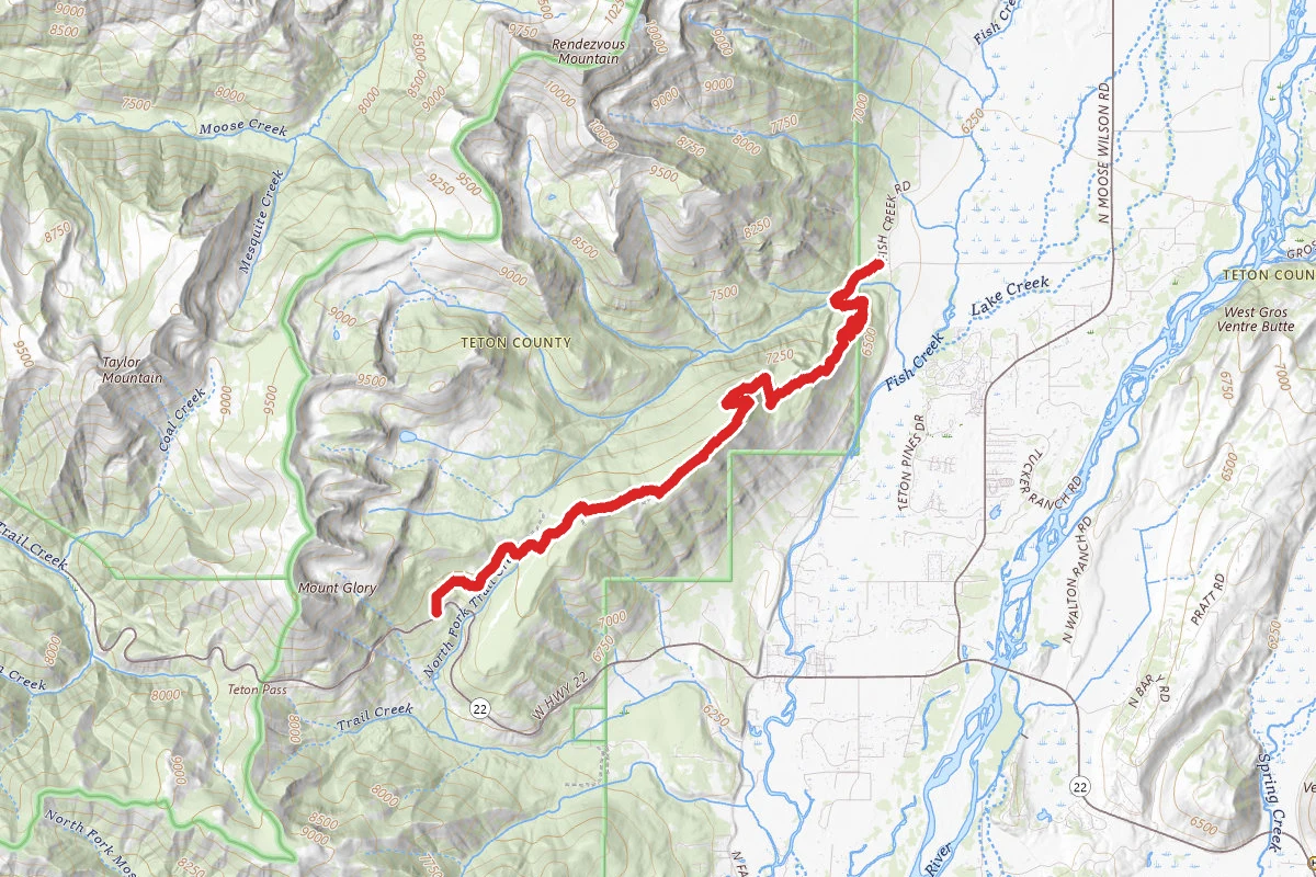
Phillips Ridge Trail
Wyoming
Difficulty: Expert13.0 mi3,694 ftelevation gain
Trail
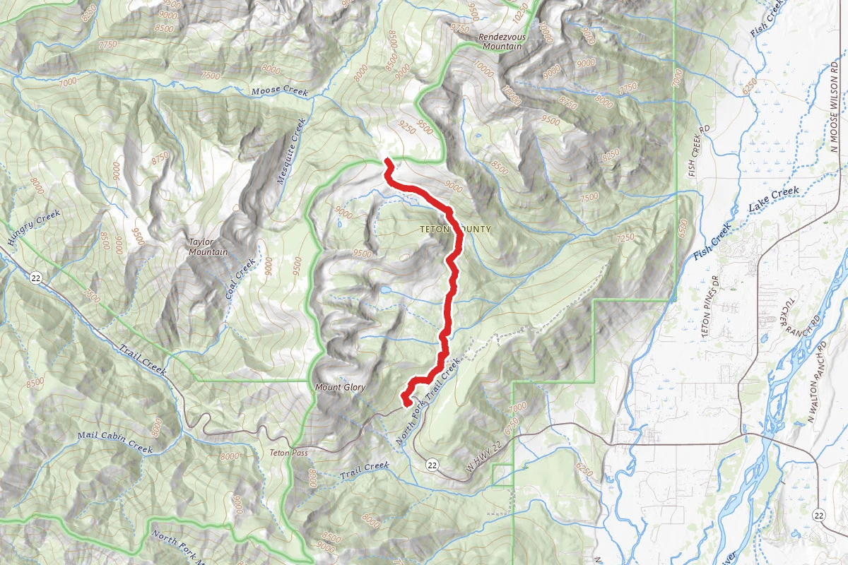
Phillips Canyon Trail
Wyoming
Difficulty: Difficult8.1 mi2,208 ftelevation gain
Trail
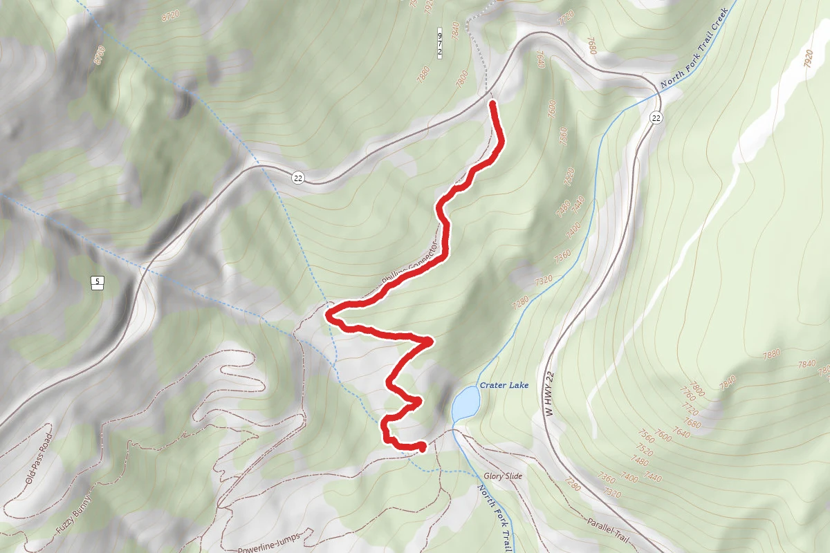
Jimmys Mom
Wyoming
Difficulty: Moderate1.0 mi541 ftelevation gain
Trail
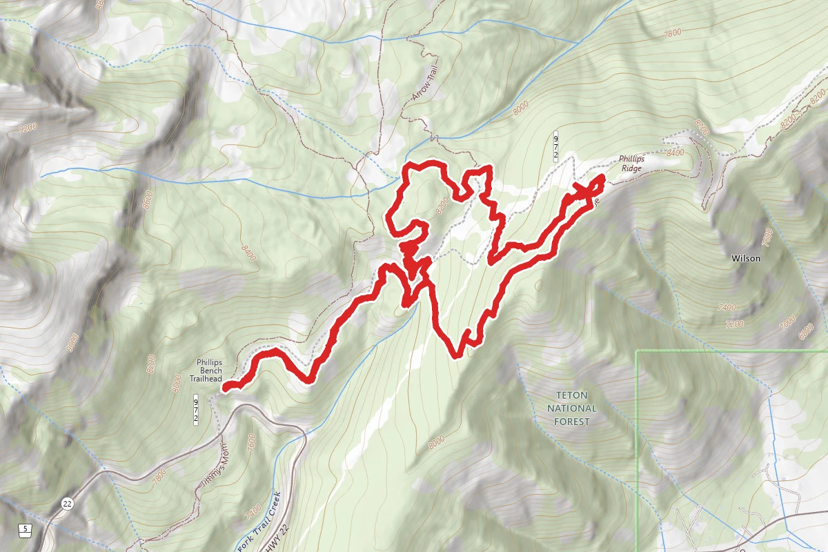
Arrow Trail
Wyoming
Difficulty: Moderate5.6 mi1,148 ftelevation gain
Trail
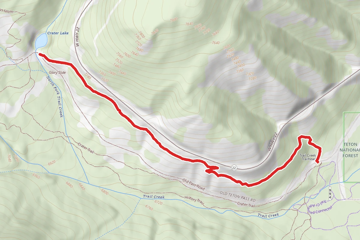
Parallel Trail
Wyoming
Difficulty: Easy1.4 mi62 ftelevation gain
Trail
Hunt context
Hunting units around this campground
During hunting seasons, wear blaze orange and check regulations — see the Wyoming hunting page
Nearby Campgrounds

Spot an error in our data on Phillip's Ridge?