Mt. Adams Summit
National Forest

Mt. Adams Summit

OR

Verify with the local Forest Service ranger district

Forest Service campgrounds vary by district. Fire restrictions, road conditions, and operating dates are set locally and change seasonally. Call the ranger district to confirm.

0.0

0 Reviews

Official sources & verification

Managed by US Forest Service

Verify before you go

Source of truth

Verify by phone or mail

  • Address:OR
We display cached information from agency feeds. Hours, fees, permits, closures, fire restrictions, and conditions change without notice. Outdoors is not the permitting authority. Confirm current conditions for this campground using the links above before you go — you are responsible for compliance. Last verified by us: Jul 29, 2026. Spot an error in our data?

About

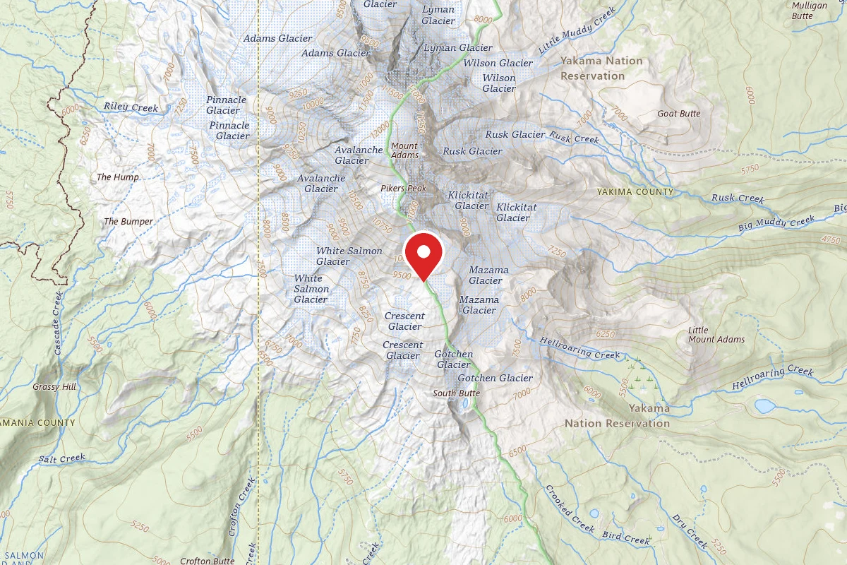
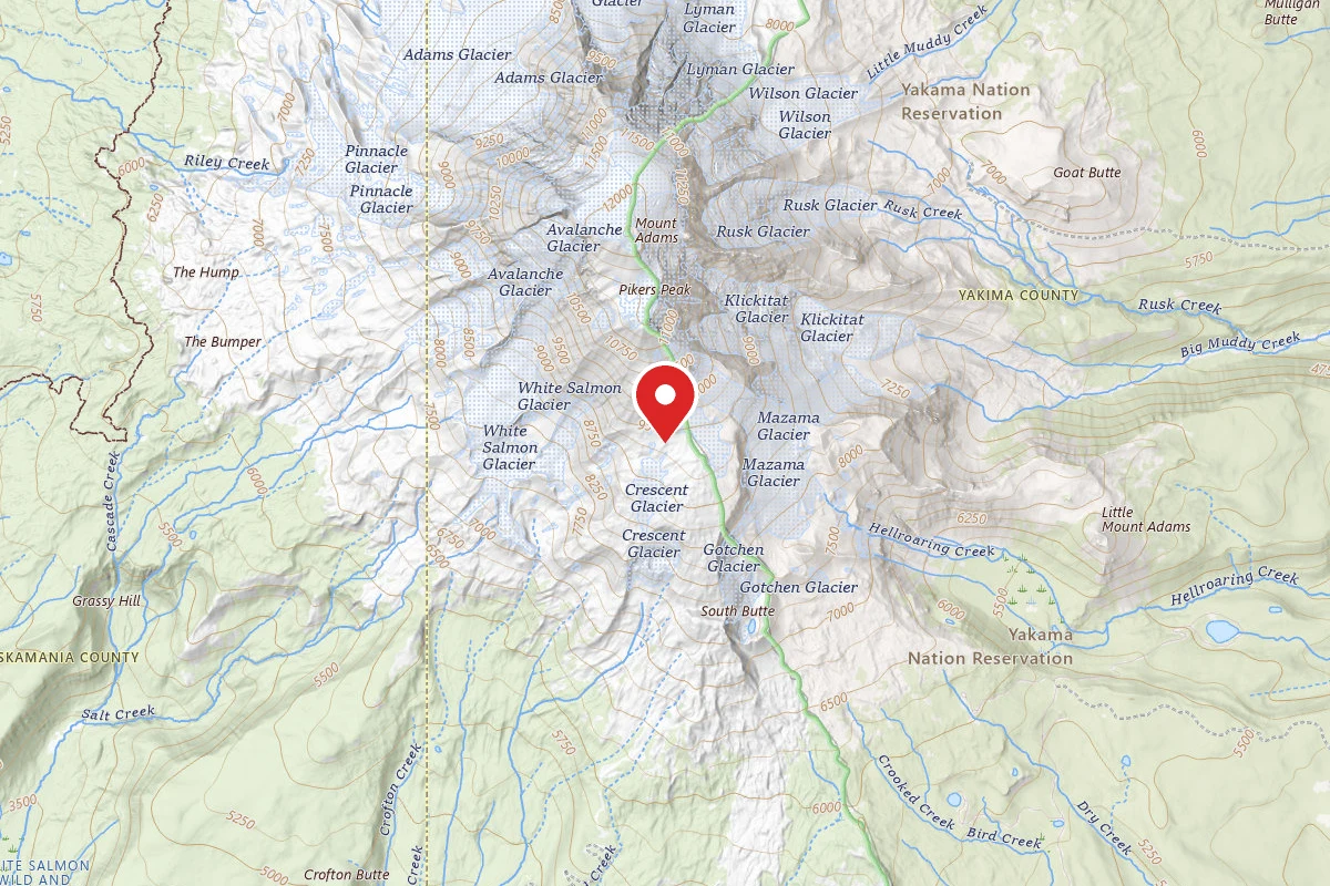
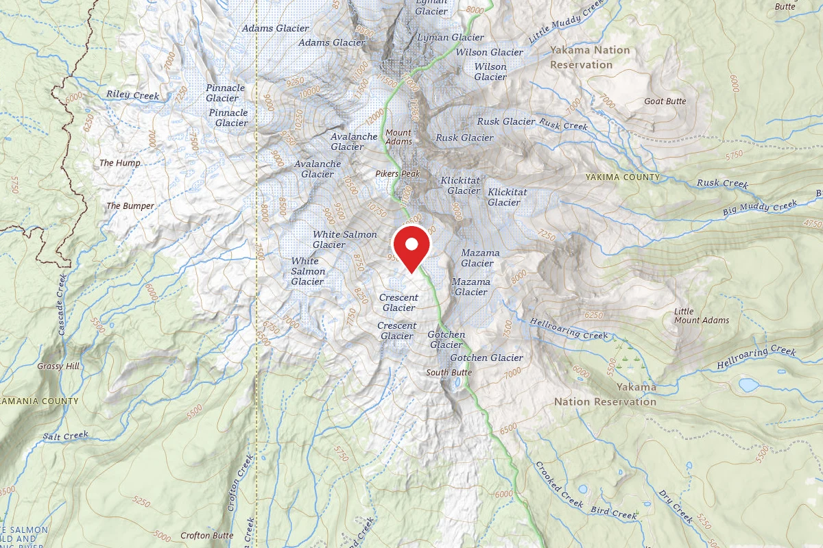
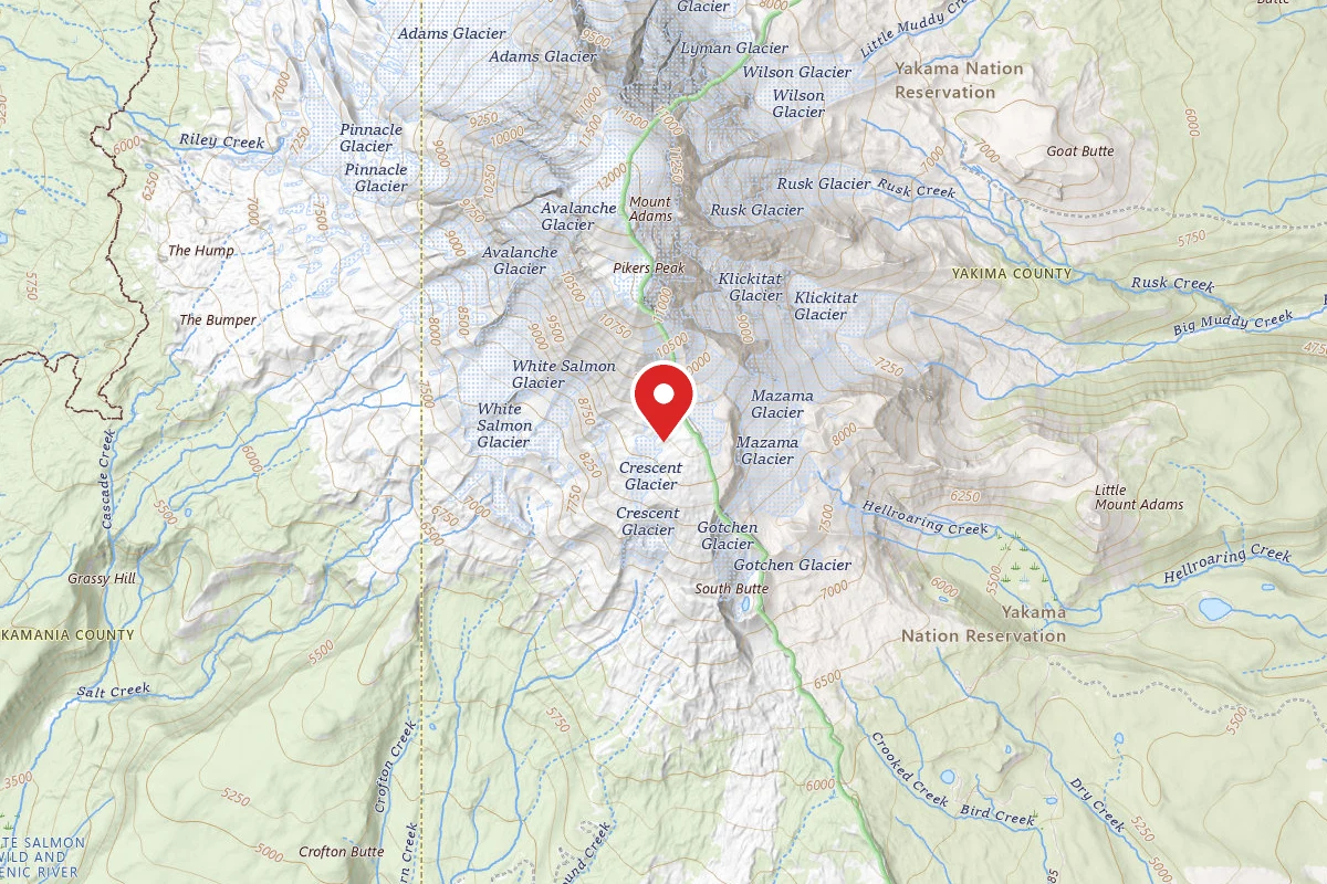
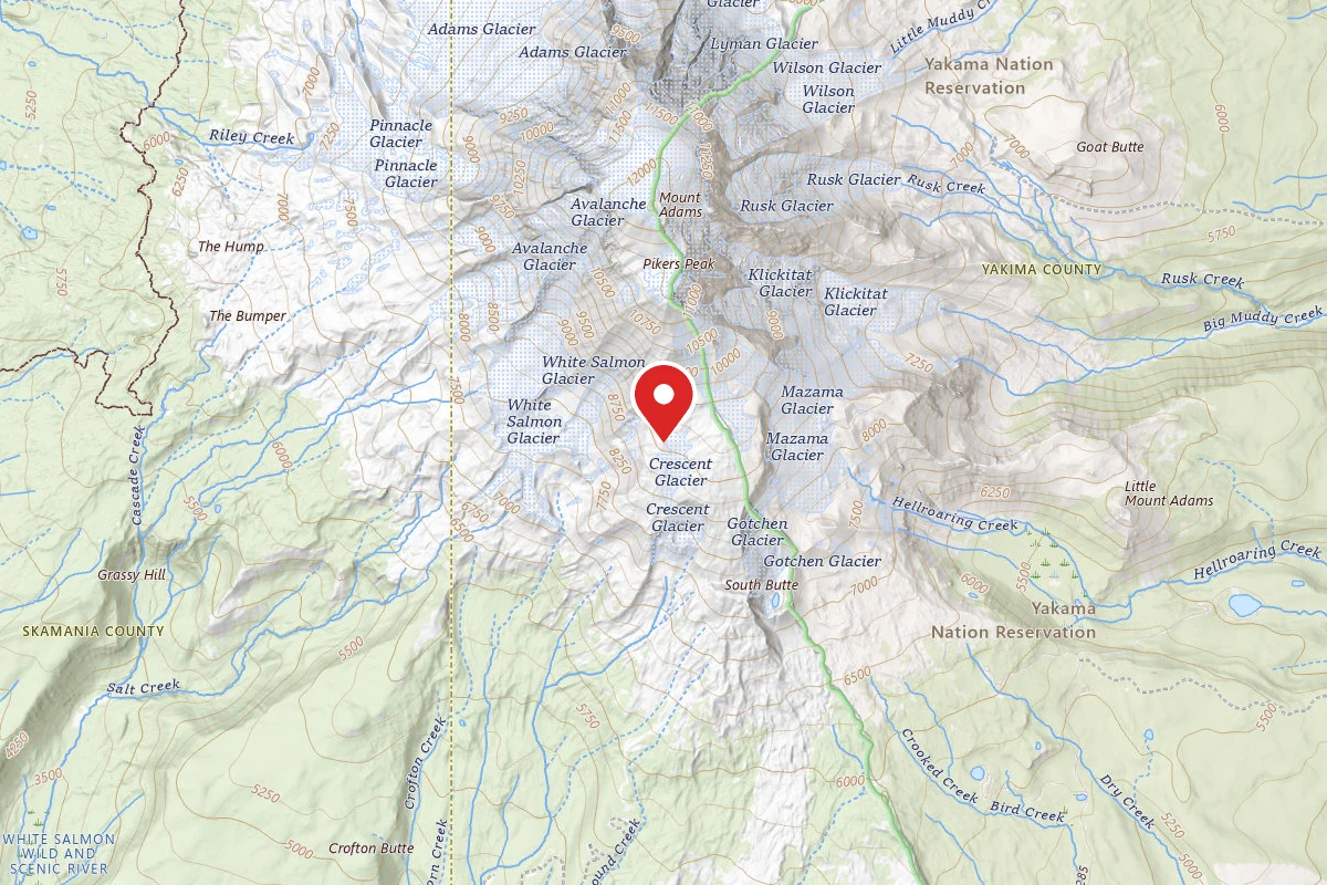
At an elevation of 12,276 feet, Mt. Adams is the second highest peak in Washington; however, with an 18-mile wide diameter it is the largest volcano by bulk in the state. It supports over 10 active glaciers that provide water to the forests, streams, and meadows below. These glaciers, along with adjoining ridges and permanent snow fields, sport many climbing routes of varying difficulty to the summit. All require proficiency in alpine mountaineering, route-finding, and use of ice axe and crampons. Some require more advanced skills in navigating crevasses, bergschrunds, ice falls, rock headwalls, and other complex terrain. All involve a significant degree of inherent danger and risk. Be prepared and know your limits.Weather on Mt. Adams can change rapidly. Sudden snowstorms can occur above 6,000 feet elevation at any month of the year, severely limiting visibility and increasing risk of hypothermia. The difficulty of a route can change drastically during these storms. Your safety requires preparation and good judgment. Monitor conditions and weather forecasts by the National Weather Service and any special postings by the NW Weather and Avalanche Center .A Mt. Adams Climbing Pass is required from May 1st to September 30th for anyone age 16 and older traveling above 7000ft elevation on Mt. Adams, even if not attempting the summit. Visitors climbing Mt. Adams must pack out their human waste in human waste carry-out bags. They are provided for free at the South Climb Trailhead when the trailhead becomes accessible by car and in front of the Mt. Adams Ranger Station earlier in the season..The remoteness and wilderness character of Mt. Adams led to its designation as a wild area under the Forest Service U2 regulations in 1942 and ultimately to its inclusion in the Wilderness Act of 1964. This designation includes the summit of Mt. Adams, where restrictions apply for those seeking adventure on its higher ridges and summit as well as those enjoying the meadows, forest, and lakes below.Only the western half of Mt. Adams lies within the Mt. Adams Wilderness managed by the U.S. Forest Service. The eastern half of Mt. Adams lies within the Yakama Nation Indian Reservation and is managed by the tribe. The portion of the mountain on Yakama Nation lands is largely closed to recreation. Exceptions are routes ascending the Mazama Glacier and hiking in the Bird Creek Meadows area, though only at certain times of the year. Contact the Yakama Nation for information regarding closures.Detailed information on climbing routes is available from a number of climbing guidebooks. Consult these as you plan your trips.Current Conditions: Mt. Adams Climbing ReportOther helpful information:Mount Adams Wilderness Map, Mobile Friendly Map (via Avenza maps app).Safety Information: View a list of essentials to bring and information about how to prevent and recognize hypothermia and altitude sickness.

Reviews

No reviews yet

Be the first to share your experience and help others plan their visit.

Within ~30 miles

Trails near Mt. Adams Summit

Explore trails near here

Hunt context

Hunting unit around this campground

During hunting seasons, wear blaze orange and check regulations — see the Washington hunting page

Nearby Campgrounds
Spot an error in our data on Mt. Adams Summit?