BLM
Curry Mountain
CA
Verify with the local BLM field office
BLM site amenities, road access, and fire restrictions are managed by the local field office. Conditions change with weather and season — confirm before traveling.
Pricing
Check official pricing0.0
0 Reviews
Official sources & verification
Managed by Bureau of Land Management
Source of truth
- Agency source page
The page our published rules and notes are derived from.
Verify by phone or mail
- Operator:(831) 582-2200
- Email:BLM_CA_Web_CC@blm.gov
About
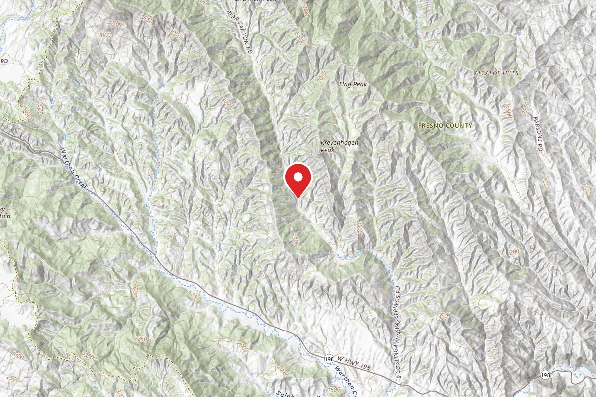
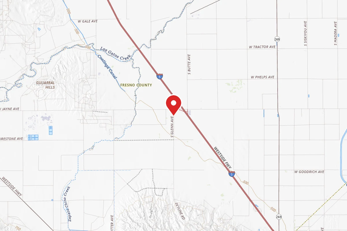
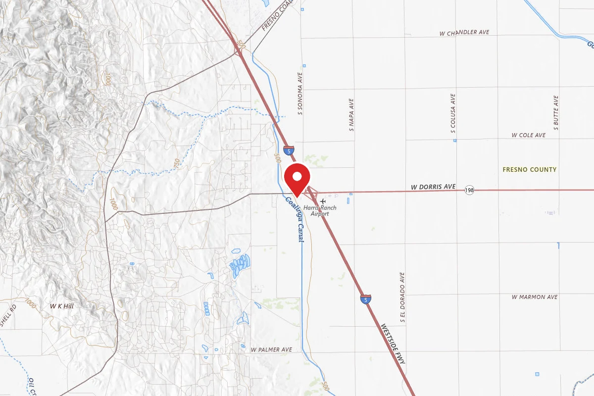
Parking access onto nearly 1,800 acres of Bureau of Land Management property in this area is provided through an easement from the California Department of Fish and Game. The parking easement site is along the north side of State Highway 198, east of Parkfield Junction and 6 miles west of Coalinga. The trailhead is located across the road on the south side of Highway 198. The regional topography is very steep and rugged. There is a kiosk located in the parking area providing an interpretive panel, a map, and information about the area. There are no facilities, running water, or trash collection.
Reviews
No reviews yet
Be the first to share your experience and help others plan their visit.
Within ~30 miles
Trails near Curry Mountain
Curry Mountain Trail
California
1.2 mi1,401 ftgain
TrailDifficulty: Moderate
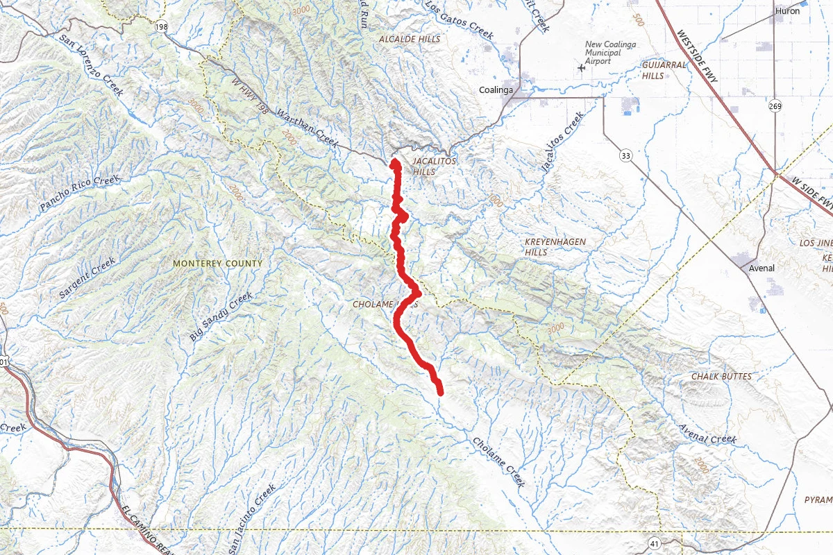
Parkfield Grade Road
California
18.4 mi3,287 ftgain
TrailDifficulty: Easy
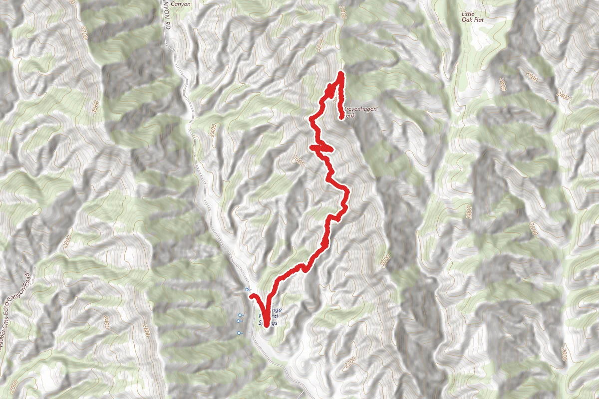
Kreyenhagen Peak
California
4.8 mi2,201 ftgain
TrailDifficulty: Difficult
Mexican Lake Road
California
0.2 mi
Trail
Mexican Lake Road
California
0.2 mi
Trail
California Mission Trail - Mission San Miguel Arcangel to Mission San Antonio de Padua
California
91.4 mi1,286 ftgain
TrailDifficulty: Expert
Hunt context
Hunting unit around this campground
During hunting seasons, wear blaze orange and check regulations — see the California hunting page
Nearby Campgrounds
Spot an error in our data on Curry Mountain?