BLM
Coalinga Mineral Springs
CA
Verify with the local BLM field office
BLM site amenities, road access, and fire restrictions are managed by the local field office. Conditions change with weather and season — confirm before traveling.
Pricing
Check official pricing0.0
0 Reviews
Official sources & verification
Managed by Bureau of Land Management
Source of truth
- Agency source page
The page our published rules and notes are derived from.
Verify by phone or mail
- Operator:(831) 582-2200
- Email:BLM_CA_Web_CC@blm.gov
About
The Coalinga Mineral Springs National Recreation Trail was designated under the National Recreation Trails System Act in 1981. The trail is located on the scenic southern tip of the Diablo Mountains. Panoramic views of the southern Diablo Mountains can be enjoyed from Kreyenhagen Peak. The area is a mixed chaparral-foothill vegetation community where visitors can encounter grey pine, chamise, Manzanita, yucca, and many other shrubs and annual wildflowers. Trailhead parking is located at Coalinga Mineral Springs County Park. There is no longer any running water or facilities at the County Park, and there are no facilities along the trail except for directional signs. There is an information board and map box located at the trailhead.
Reviews
No reviews yet
Be the first to share your experience and help others plan their visit.
Within ~30 miles
Trails near Coalinga Mineral Springs
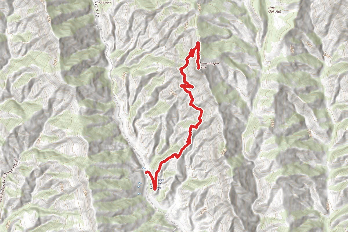
Kreyenhagen Peak
California
4.8 mi2,201 ftgain
TrailDifficulty: Difficult
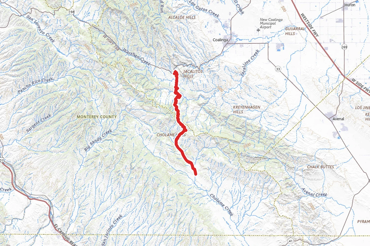
Parkfield Grade Road
California
18.4 mi3,287 ftgain
TrailDifficulty: Easy
Curry Mountain Trail
California
1.2 mi1,401 ftgain
TrailDifficulty: Moderate
Mexican Lake Road
California
0.2 mi
Trail
Mexican Lake Road
California
0.2 mi
Trail
Primitive Trail
California
1.3 mi686 ftgain
TrailDifficulty: Easy
Hunt context
Hunting unit around this campground
During hunting seasons, wear blaze orange and check regulations — see the California hunting page
Nearby Campgrounds
Spot an error in our data on Coalinga Mineral Springs?