State Park
Baptist Draw Trailhead
Green River, UT
Pricing varies — check with the operator
Verify with the state park system
State parks set their own rules and reservation systems. Fire bans, road closures, and operating dates change seasonally — check the state park website before traveling.
Pricing
Pricing varies — check with the operator0.0
0 Reviews
Official sources & verification
Managed by State Park
Verify by phone or mail
- Address:Green River, UT
About
Baptist Draw is a technical hike with three rappels with the highest rappel of 65 feet. This hike is for experience canyoneering. This draw has a high potential for flash floods and extreme caution should be used.
Reviews
No reviews yet
Be the first to share your experience and help others plan their visit.
Campground Rules
- No campfires allowed
Within ~30 miles
Trails near Baptist Draw Trailhead
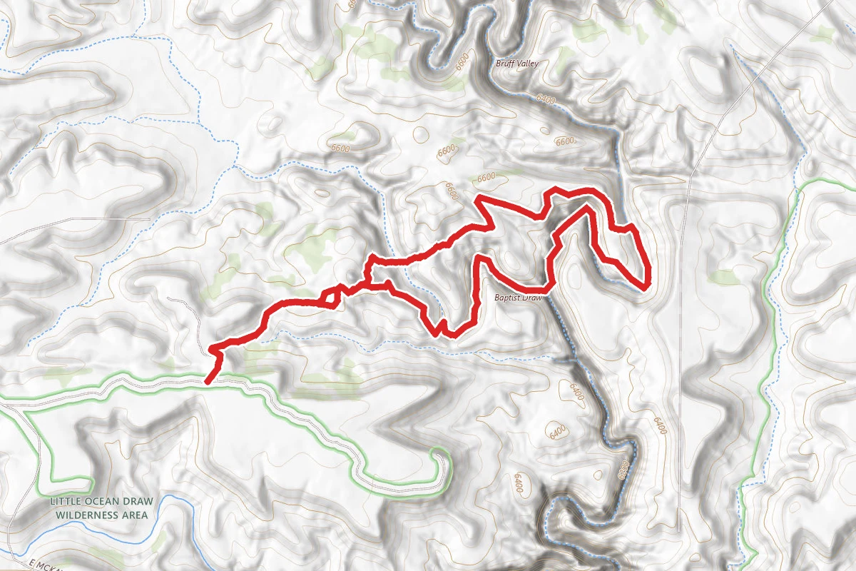
Baptist Draw Trail
Utah
4.7 mi1,017 ftgain
TrailDifficulty: Difficult
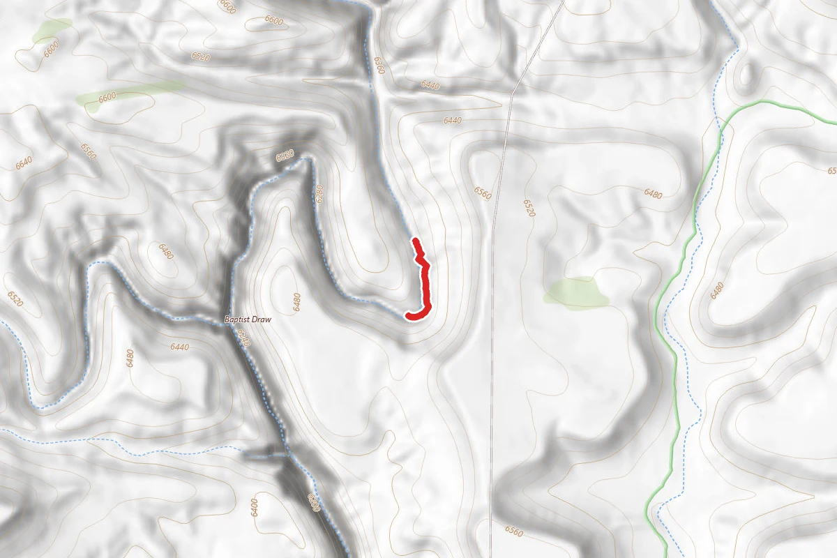
Little Ocean Draw
Utah
0.2 mi
Trail
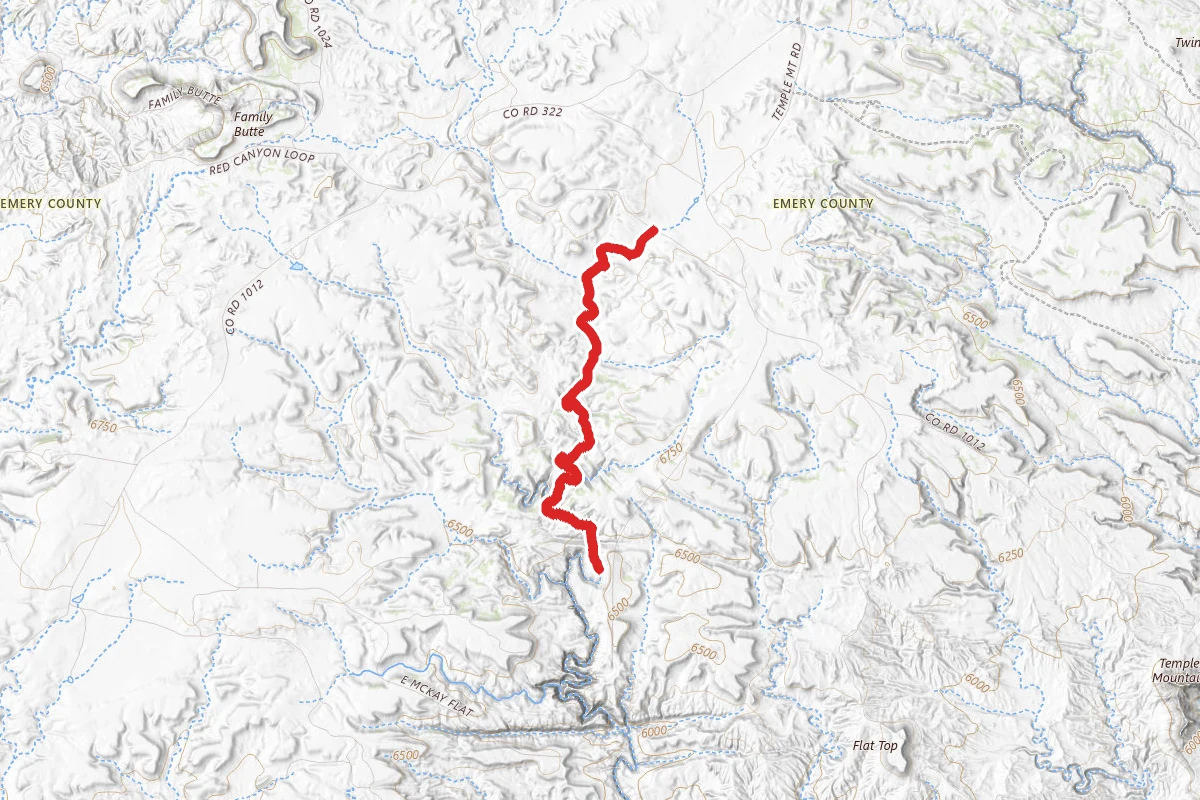
Upper Chute Canyon
Utah
5.1 mi33 ftgain
TrailDifficulty: Moderate
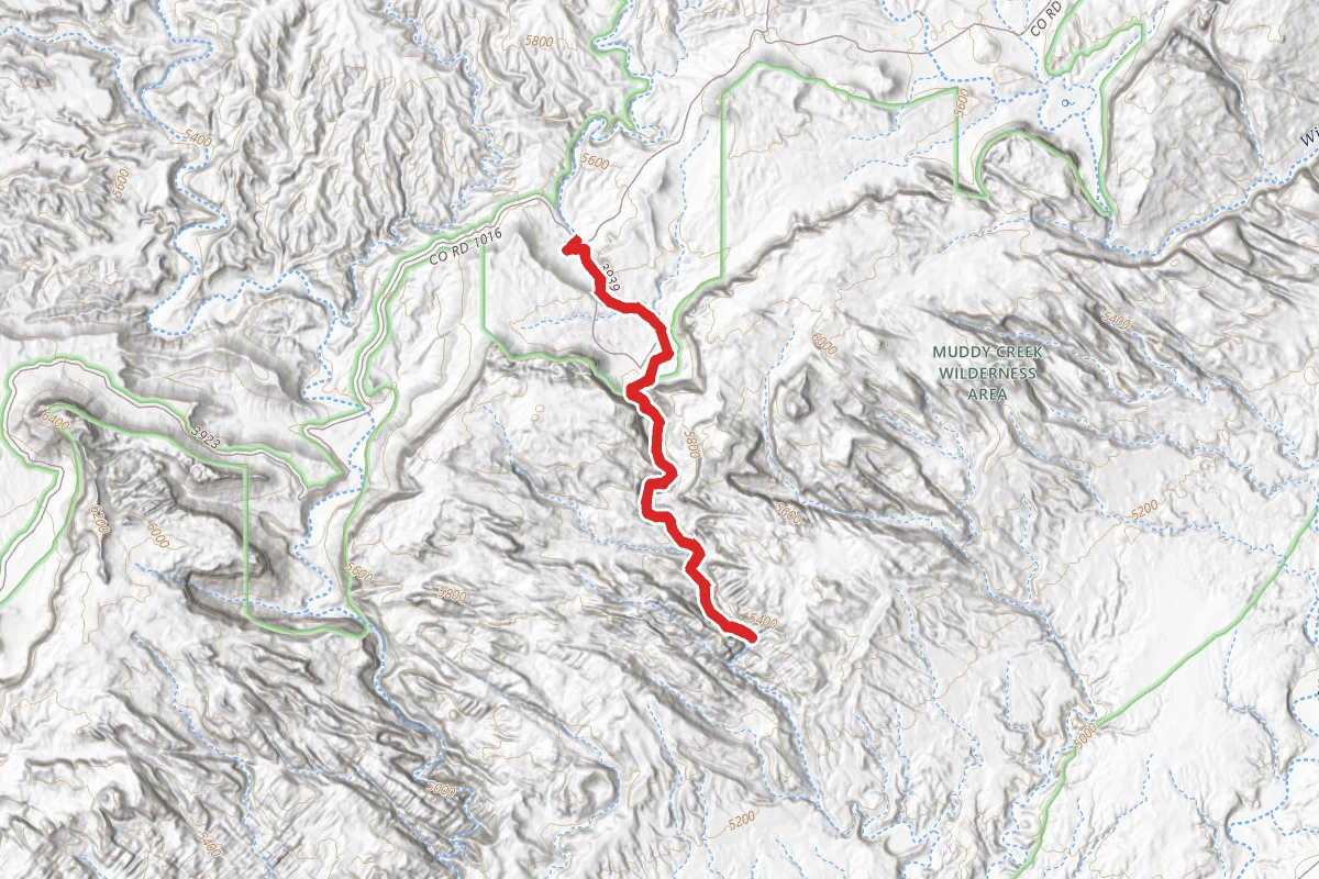
Crack Canyon
Utah
5.0 mi351 ftgain
TrailDifficulty: Moderate
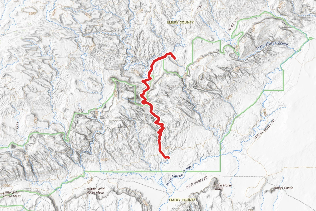
Chute Canyon
Utah
12.4 mi
TrailDifficulty: Easy
(Lower) Chute Canyon Trail
Utah
5.4 mi10 ftgain
TrailDifficulty: Easy
Hunt context
Hunting units around this campground
During hunting seasons, wear blaze orange and check regulations — see the Utah hunting page
Nearby Campgrounds
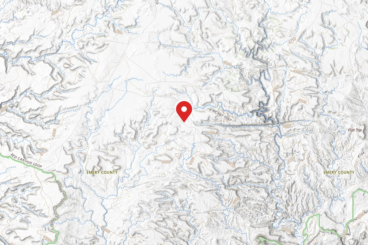
Dispersed camping near orangeville
Pricing varies — check with the operator
Campground Dispersed
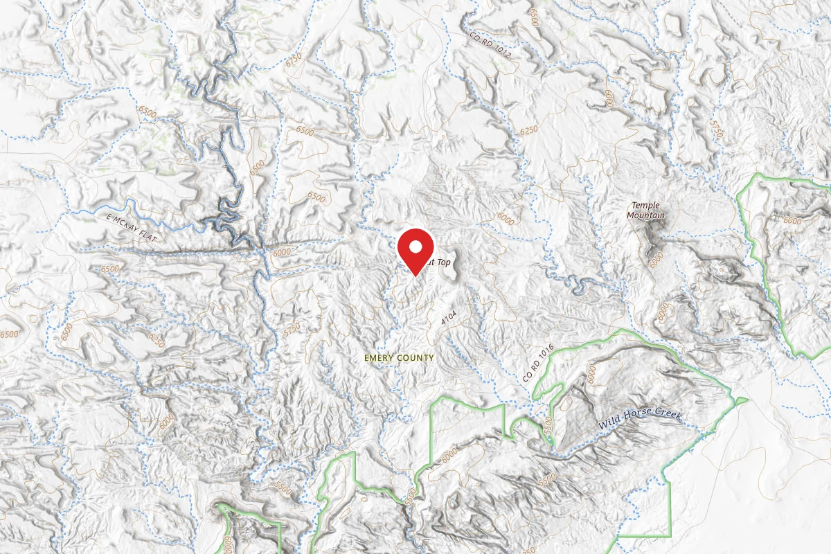
Dispersed Site near 38.6772, -110.7381
Pricing varies — check with the operator
Campground Dispersed
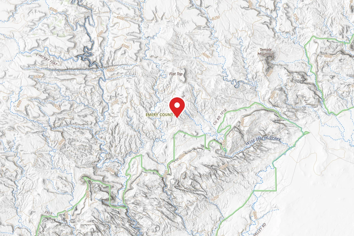
Dispersed Site near 38.6600, -110.7325
Pricing varies — check with the operator
Campground Dispersed
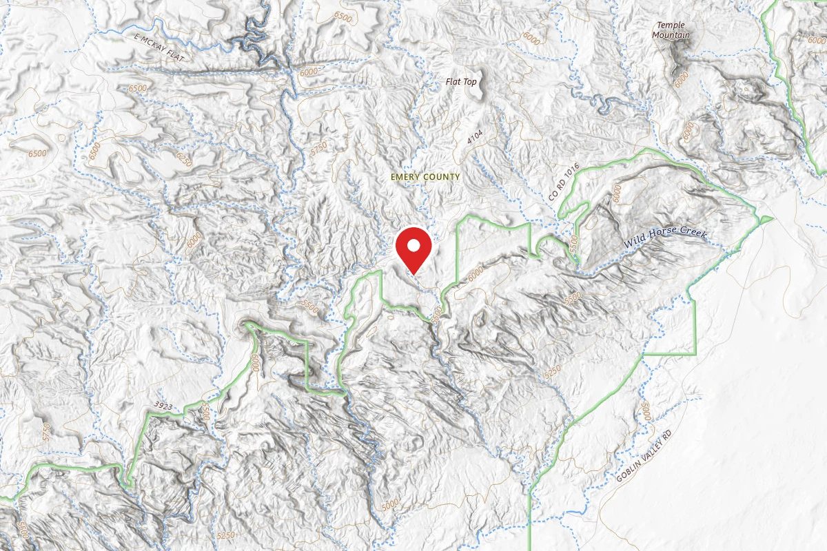
Dispersed Site near 38.6423, -110.7452
Pricing varies — check with the operator
Campground Dispersed
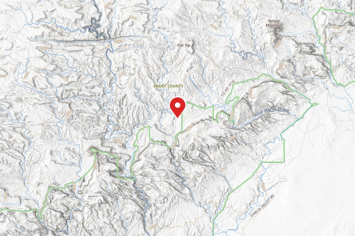
Dispersed Site near 38.6470, -110.7368
Pricing varies — check with the operator
Campground Dispersed
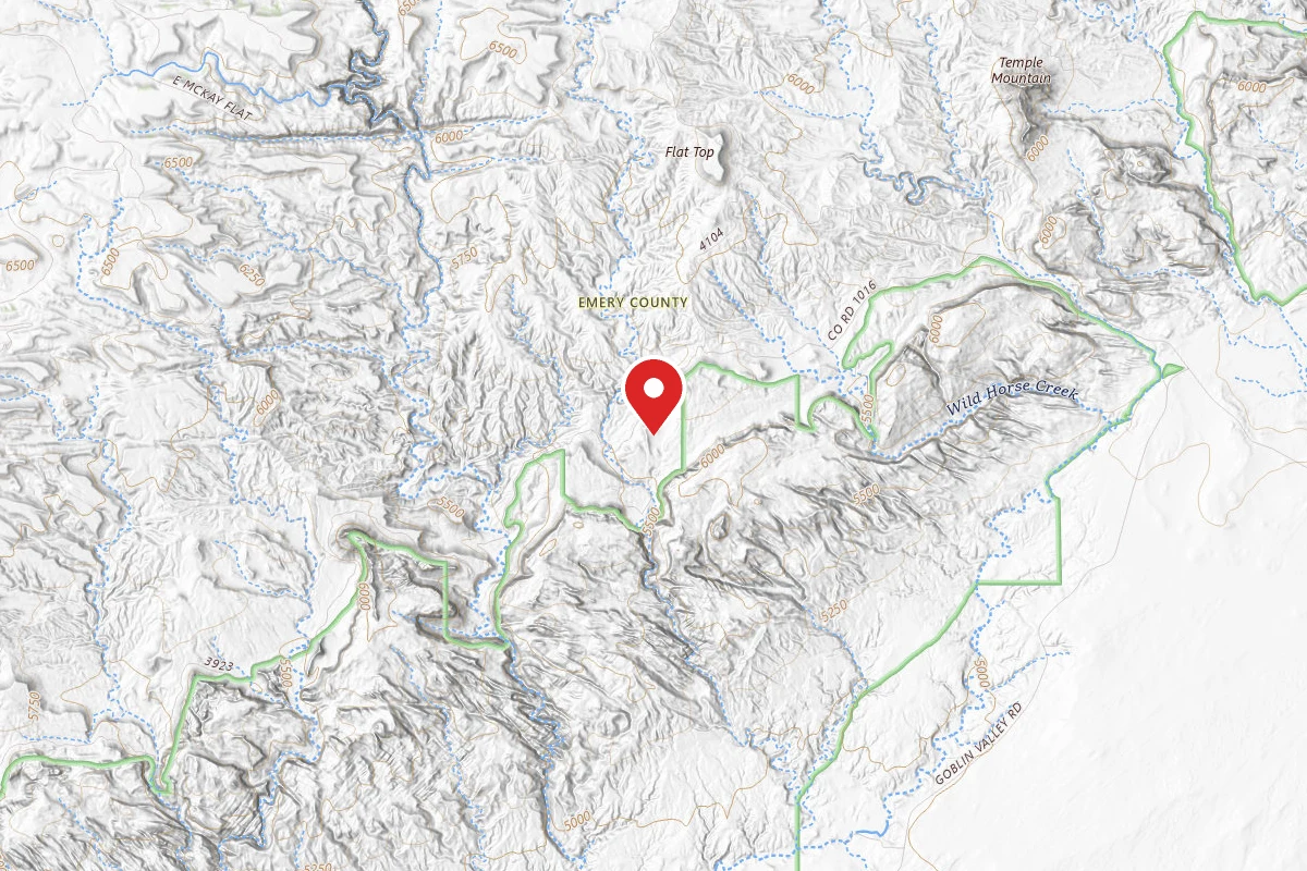
Dispersed Site near 38.6451, -110.7389
Pricing varies — check with the operator
Campground Dispersed
Spot an error in our data on Baptist Draw Trailhead?