Unit San Rafael, Desert
Unit San Rafael, DesertUtah · 0 units
Public lands inside this unit
25 found
Capitol Reef National Park
378 sq miParkNational ParkNatural Bridges National Monument
12 sq miParkNational MonumentBears Ears National Monument - Indian Creek SRMA
ParkNational MonumentNatural Bridges National Monument
ParkNational MonumentBears Ears National Monument
ParkNat'l Recreation AreaBull Creek Pass Backcountry Byway
ParkNat'l Recreation AreaBull Mountain
ParkNat'l Recreation AreaBurr Point Overlook
ParkNat'l Recreation AreaBurr Trail
ParkNat'l Recreation AreaBurro Wash
ParkNat'l Recreation AreaCapitol Reef National Park
ParkNat'l Recreation AreaCedar Mesa SRMA
ParkNat'l Recreation AreaDark Canyon SRMA
ParkNat'l Recreation AreaDevils Canyon
ParkNat'l Recreation AreaDirty Devil River
ParkNat'l Recreation AreaEscalante Canyon Tract 1
ParkNat'l Recreation AreaFactory Butte Recreation Area
ParkNat'l Recreation AreaFiddler Butte
ParkNat'l Recreation AreaFrench Spring-Happy Canyon
ParkNat'l Recreation AreaGoblin Valley State Park
ParkNat'l Recreation AreaGreen River State Park
ParkNat'l Recreation AreaHog Springs Recreation Area
ParkNat'l Recreation AreaHorseshoe Canyon (North)
ParkNat'l Recreation AreaHorseshoe Canyon (South)
ParkNat'l Recreation AreaKane Gulch
ParkNat'l Recreation Area
Trails near Unit San Rafael, Desert
12 found
Continental Divide Trail
3001.6 miTrailDifficultHayduke Trail
796.0 miTrailDifficult
White Rim Road
99.0 miTrailModeratePoison Springs OHV Loop from Hanksville
90.0 miTrailDifficultBig Pocket, Ruin Canyon and Beef Basin OHV Trail
87.6 miTrailModerateDirty Devil Lookout, Burr Point, and Petrified Forest OHV Trail from Hanksville
75.8 miTrailDifficultBridger Jack Road and Beef Basin OHV Loop
73.8 miTrailDifficultCathedral Valley OHV Loop Tour
71.2 miTrailModerateBurr Trail OHV Road
66.1 miTrailUtah Scenic Byway 12
62.5 miTrailDark Canyon Loop
56.0 miTrailExpertHole-in-the-Rock OHV Road
55.8 miTrailExpert
Campgrounds near Unit San Rafael, Desert
12 found
Factory Butte Dispersed
Pricing varies — check with the operatorCampgroundCapitol Reef BLM - Cathedral Valley
Pricing varies — check with the operatorCampgroundTemple Mountain Campground East
Pricing varies — check with the operatorCampgroundBlack Dragon Pictograph Panel
Pricing varies — check with the operatorCampgroundLonesome Beaver Campground
Pricing varies — check with the operatorCampgroundMcmillan Spring Campground
Pricing varies — check with the operatorCampgroundDing and Dang Trailhead
Pricing varies — check with the operatorCampgroundTrin-Alcove/ Three Canyon
Pricing varies — check with the operatorCampground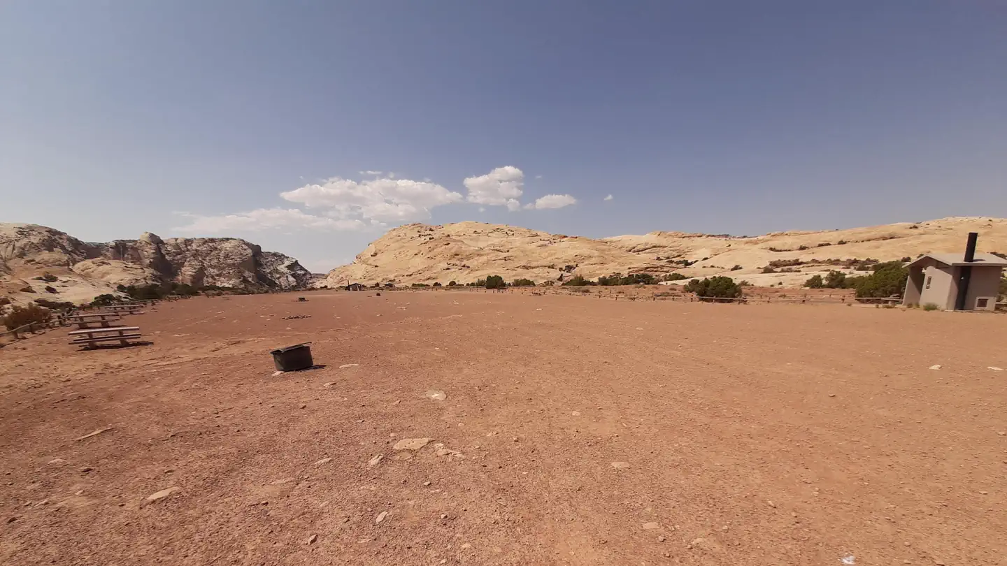
South Temple Wash Campground
Pricing varies — check with the operatorCampground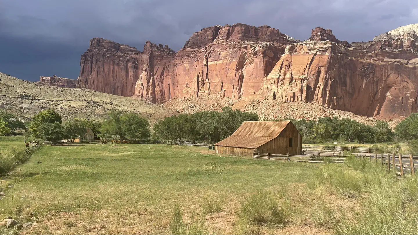
Fruita Campground
Pricing varies — check with the operatorCampgroundAthena Slabs at Green River
Pricing varies — check with the operatorCampgroundPleasant Creek Campground
Pricing varies — check with the operatorCampground
On the books in Utah
Species inventory is state-level — which units actually hold or permit each species varies. Verify unit-specific rules with the state agency linked above.
Official agency resources
Utah Division of Wildlife Resources
- Hunting regulations ↗
https://wildlife.utah.gov/guidebooks
- Draw / lottery ↗
https://wildlife.utah.gov/draw
- GMU map ↗
https://wildlife.utah.gov/maps
- Harvest reporting ↗
https://wildlife.utah.gov/harvest
- Hunter education ↗
https://wildlife.utah.gov/huntereducation
- Buy a license ↗
https://wildlife.utah.gov/licenses
Authoritative source
Outdoors does not publish hunting regulations directly. For current season dates, bag limits, legal weapons, draw deadlines, and license costs in unit San Rafael, Desert, go straight to the issuing agency.
Read the Utah agency pageBoundary verified by Outdoors against the agency source on 07/19/2026.