Status unknown — verify before visiting

We don't have current condition data for this trail. Check with the land manager before you go.

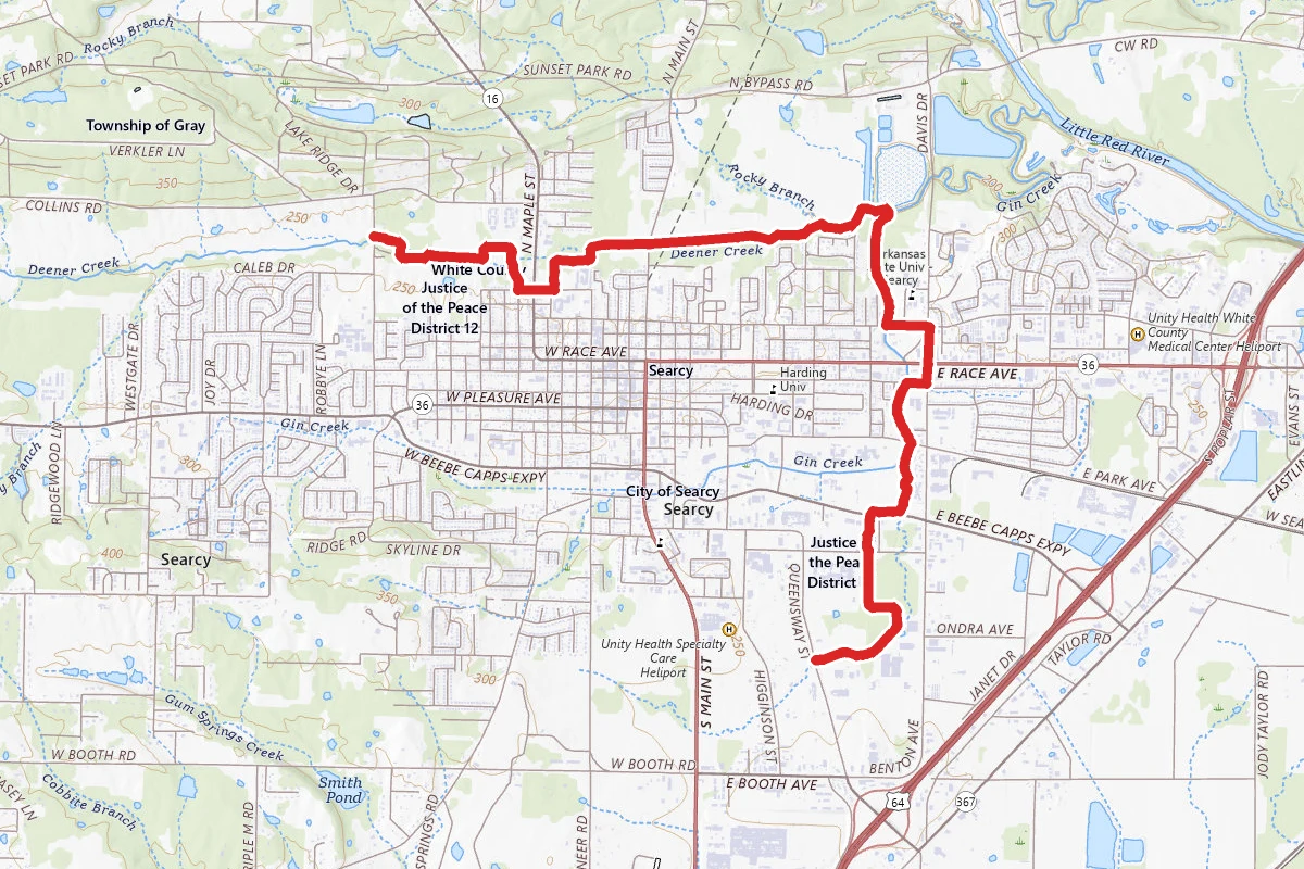
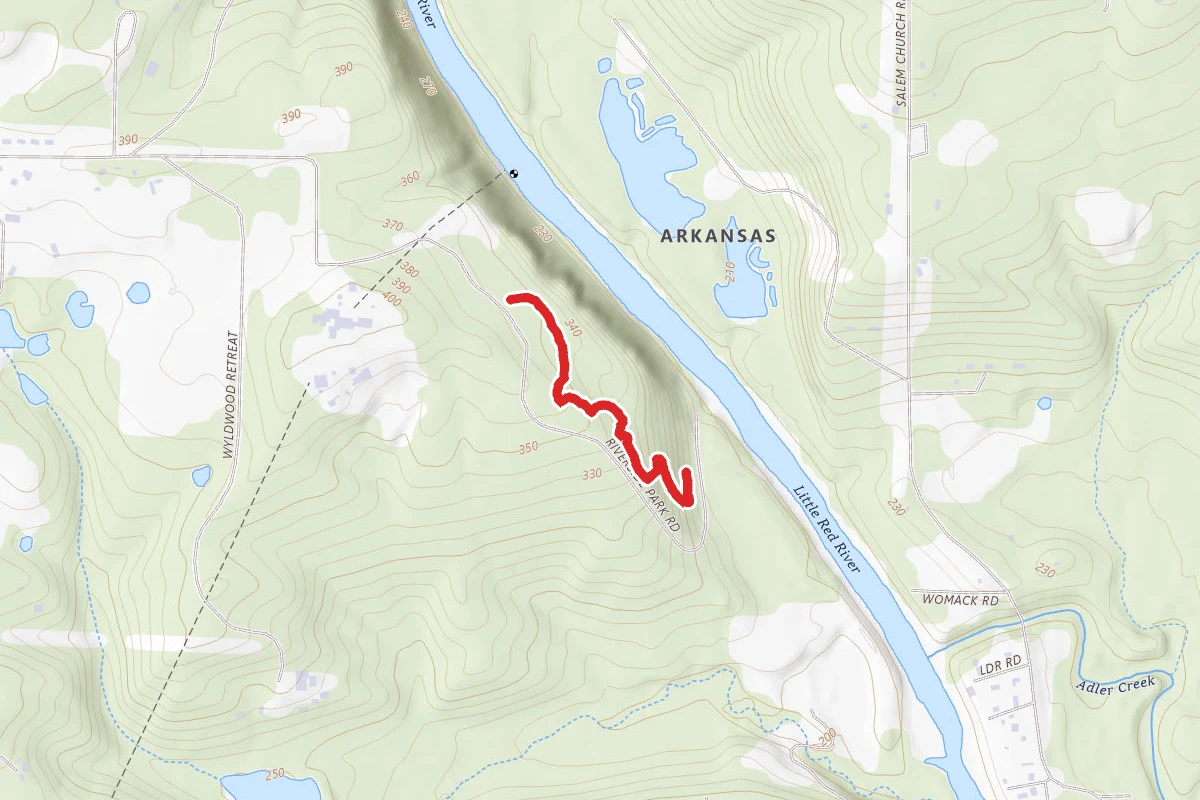
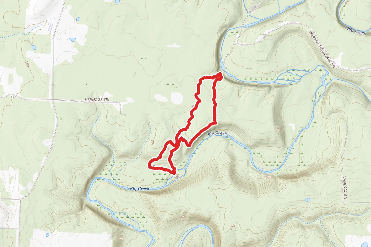
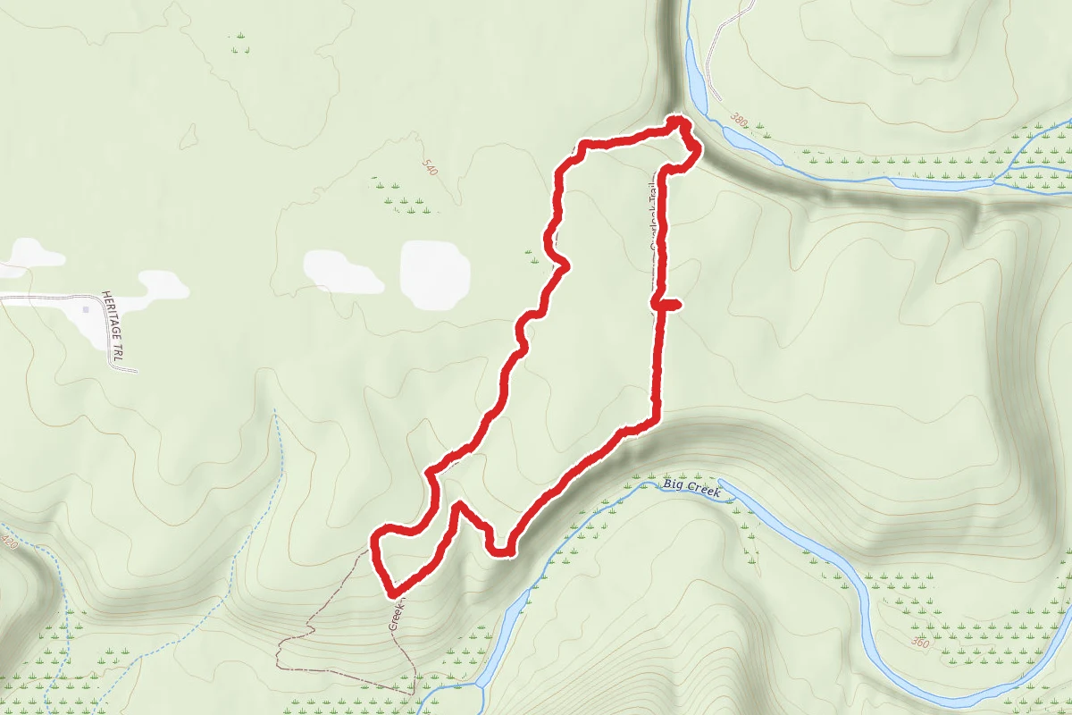
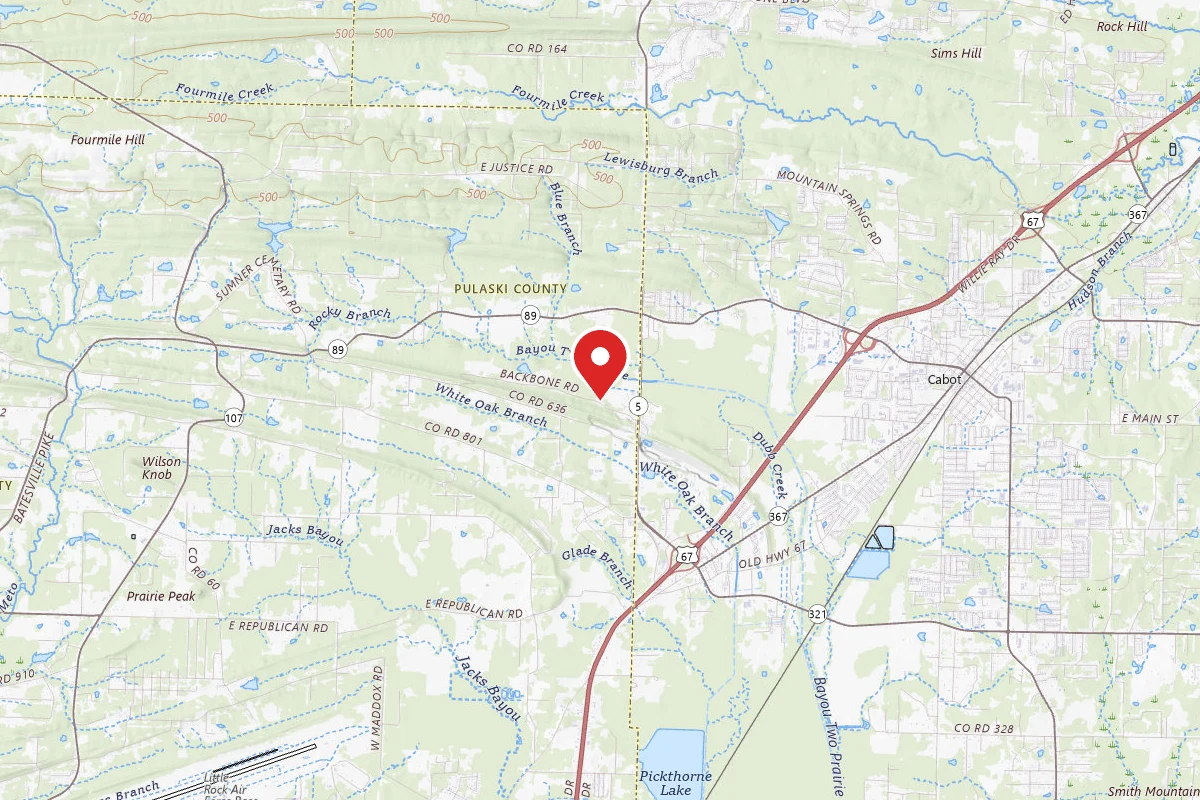
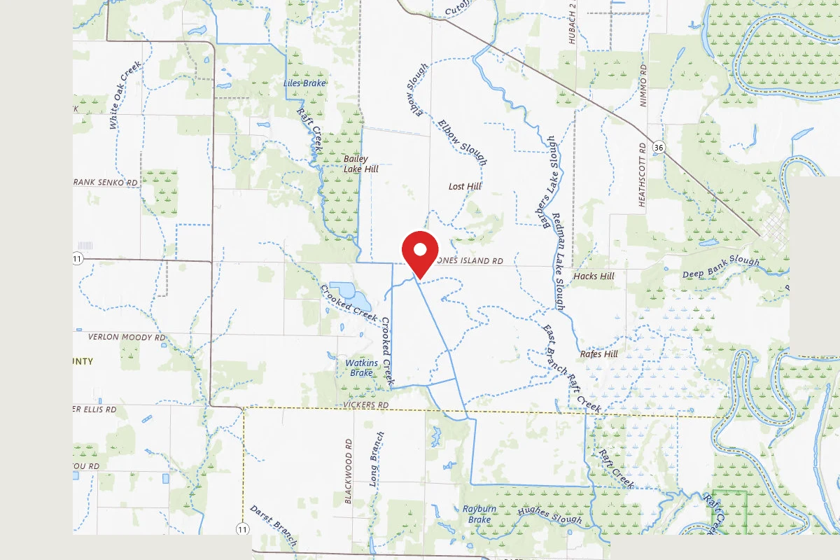
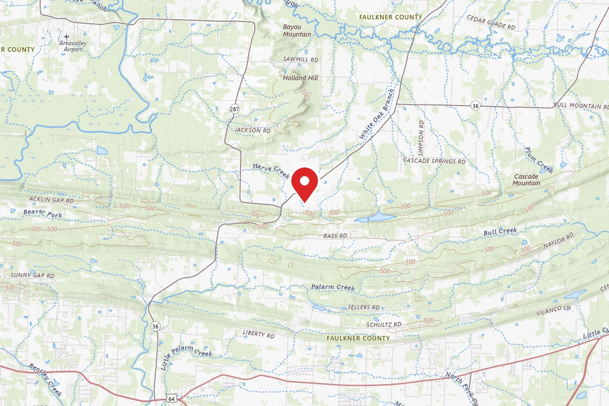
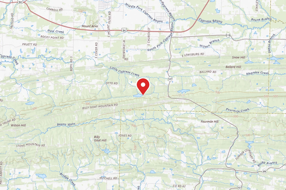
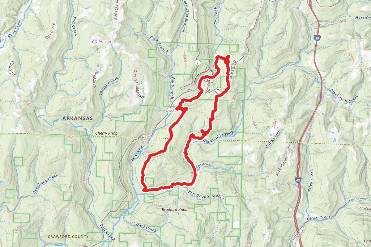
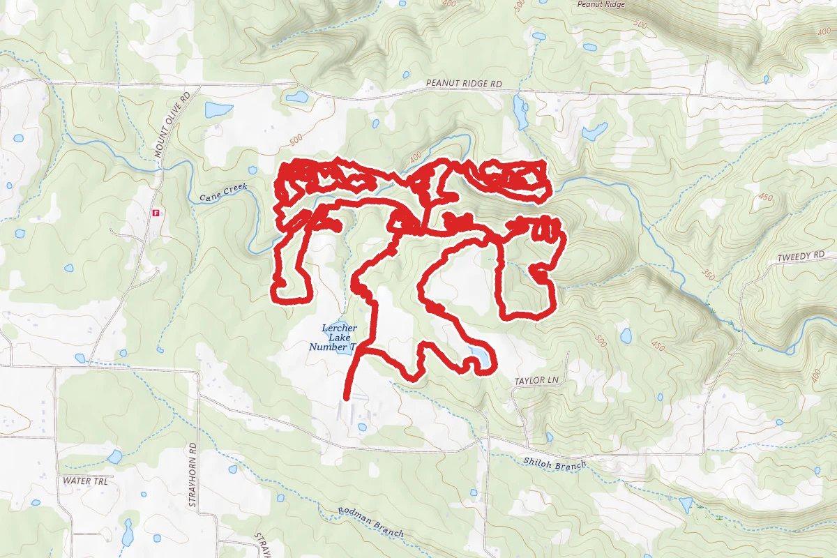
Yellow Trail route map
ExpertLoop

Yellow Trail

Mc Rae, Arkansas

12.2 mi

Distance

1,519 ft

Elev. Gain

4h 32m

Est. Time

Loop

Route Type

Expert

Difficulty

About This Trail

Imported description
This trail is the main route of the Lercher 15 trail system. From the trailhead sign, continue down the gravel farm road. The gravel road forks just before a cattle guard, continue straight over the first cattle guard and take the next cattle guard 30 yards on your right. Look for the large yellow arrow attached to a red cattle guard about 400 yards from the trailhead and begin following the yellow arrows. Most yellow arrows are attached to posts and made out of painted rebar. Continue up the gravel road after passing over 2nd cattle guard. As you approach a ranch house, look for the trail off to the right just before another cattle guard leading to a Ranch house. There will be painted yellow rocks on the ground. Before mile one, you'll leave the woods and circumvent a pond, first riding over another cattle guard next to an old cabin. After crossing one of two bridges, you'll begin to leave the pond area behind by biking up a cattle lane. At the end of the lane, look for another yellow arrow pointing left mounted on another cattle guard post. In about 200 yards you'll see an old haybarn on your left, painted yellow rocks, and a large yellow arrow pointing right. Once you make it to this point which is less than 1.3 miles you'll be entering the main trail. Getting lost should not be an issue just continue taking the yellow arrows. If you get tired take the blue "shortcut" arrows. There are several small bridged stream crossings. There are several cattle guard crossings, which are walkable if you're uncomfortable. There are also 3 bridged main creek crossings which are also walkable. Lercher Crossing is the signage at the second creek crossing. This is a fast, decent creek crossing. Shortly after Lercher Crossing and a short climb you'll come to a triangular railroad tie intersection. A blue arrow points left denoting a shortcut. Staying right (yellow) will take you on about a half mile loop exiting right where you entered. Near mile 9, you'll encounter another triangular railroad tie intersection. Going left enters the rider into a lollipop on a stick loop; beginning with the stick part. This "lollipop" loop is about 2 miles in length and is part of the yellow trail. If you decide to skip the loop stay right at intersection. You are within a mile of the finish.

Trail Conditions

Trail Conditions

Unknown

We have no current condition data for this trail. Check with the operator before you go, and submit a report below if you've been recently.

No recent condition reports. Be the first to share what you see on the trail.

Elevation Profile

Min:121 ft
Max:183 ft
463 ft
463 ft
121 ft142 ft162 ft183 ft0.0 mi3.0 mi6.1 mi9.1 mi12.2 mi

Trail Details

Route Type
Loop
Surface
Dirt

Official sources & verification

We don't have curated agency sources for this trail in our cache yet. Outdoors is not the permitting authority — confirm conditions, permits, and access with the managing agency before you go. If you know who manages this trail, please tell us.

Reviews

No reviews yet

Be the first to share your experience and help others plan their visit.

Legacy import — verify before navigating

Path geometry came from our pre-launch legacy database. Routes have not yet been re-verified against the operator and may differ from the actual trail.

Spot an error in our data on Yellow Trail?