Status unknown — verify before visiting

We don't have current condition data for this trail. Check with the land manager before you go.

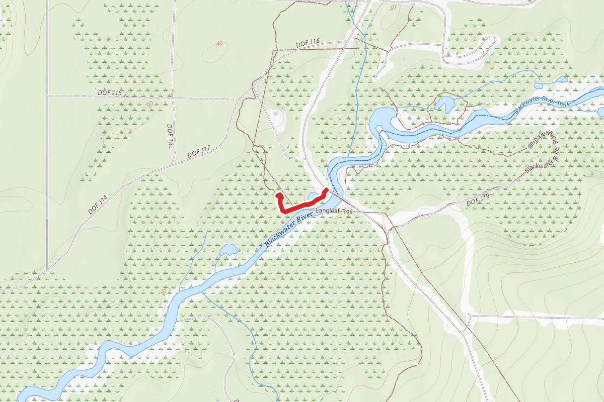
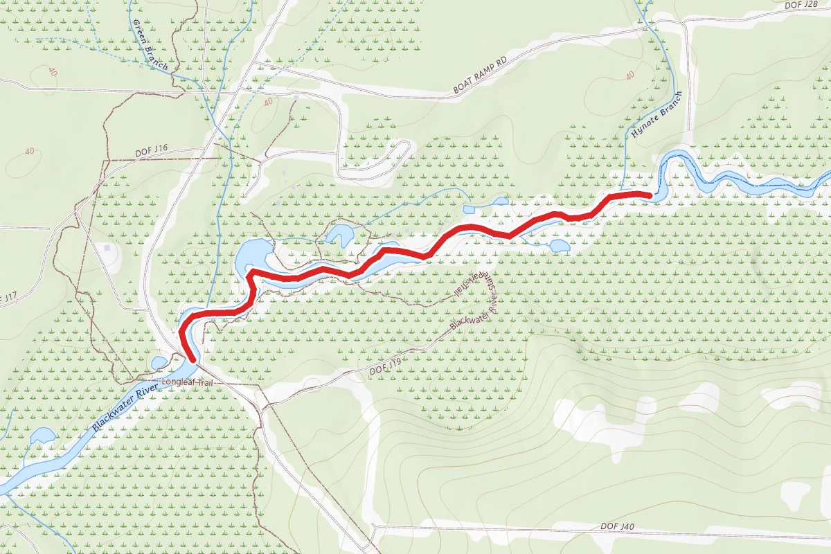
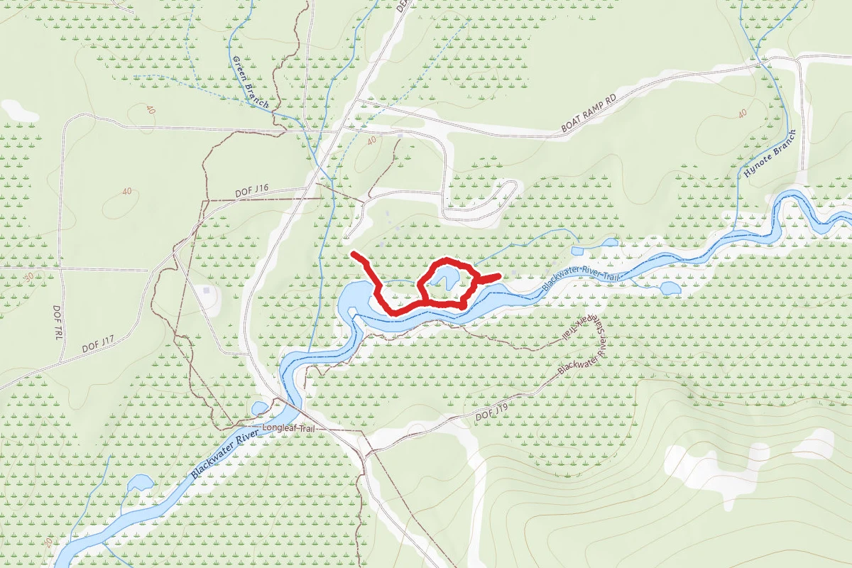
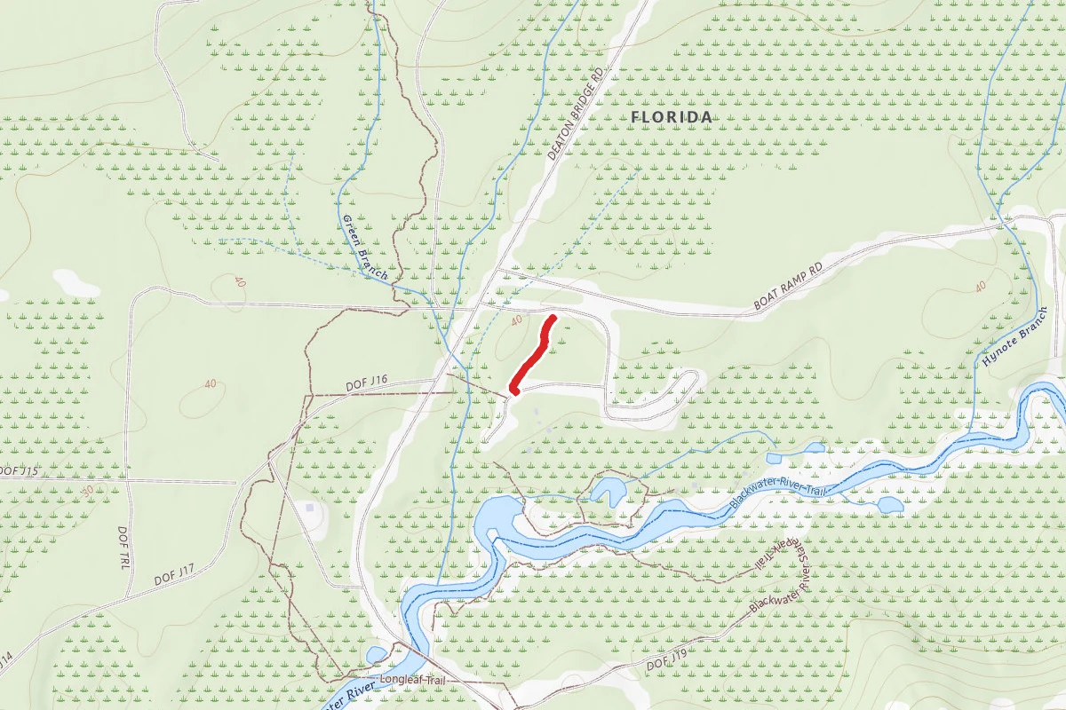
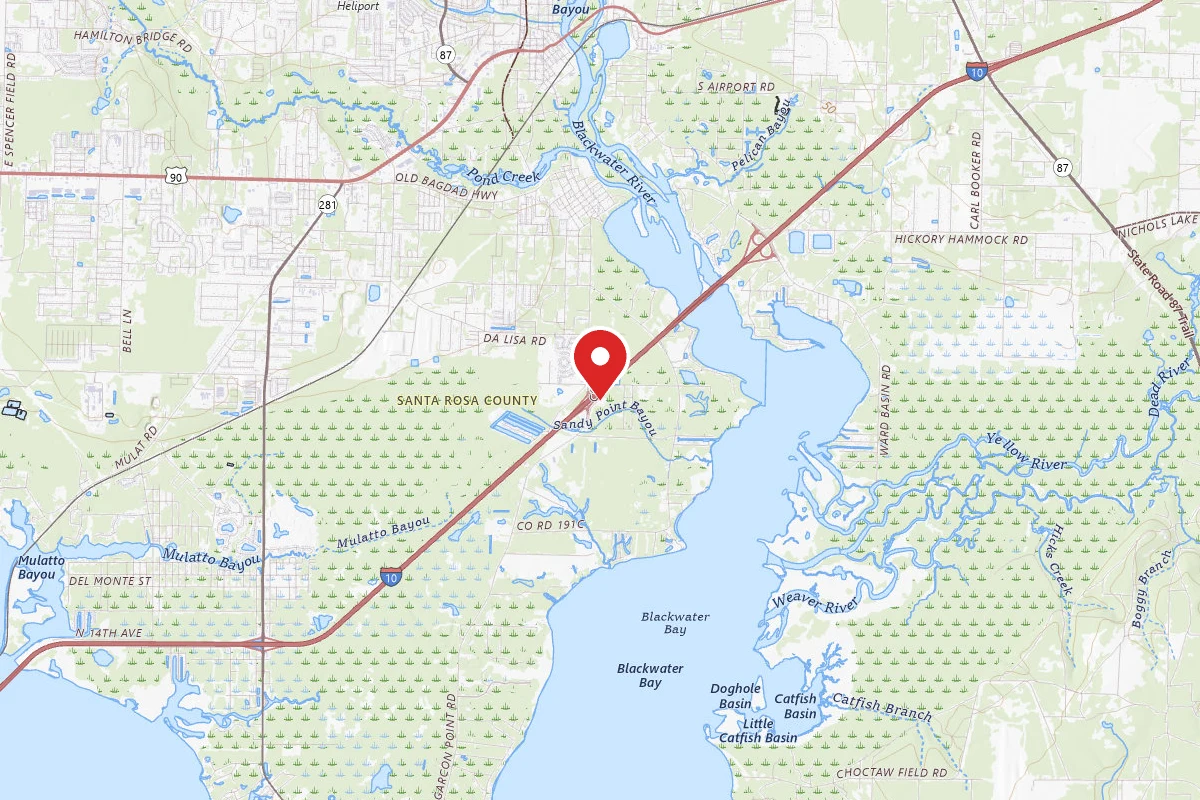
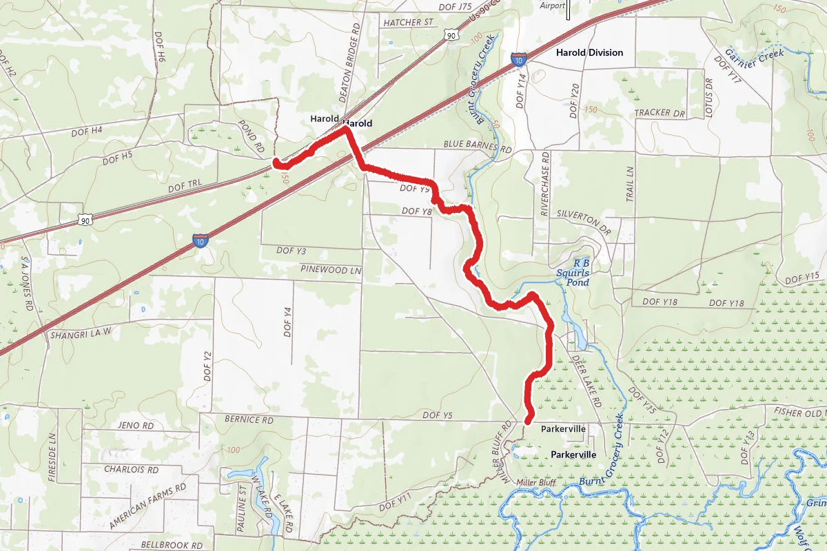
Yellow River Ravines Trail route map
ModeratePoint to Point

Yellow River Ravines Trail

Milton, Florida

4.4 mi

Distance

505 ft

Elev. Gain

1h 33m

Est. Time

Point to Point

Route Type

Moderate

Difficulty

About This Trail

Imported description
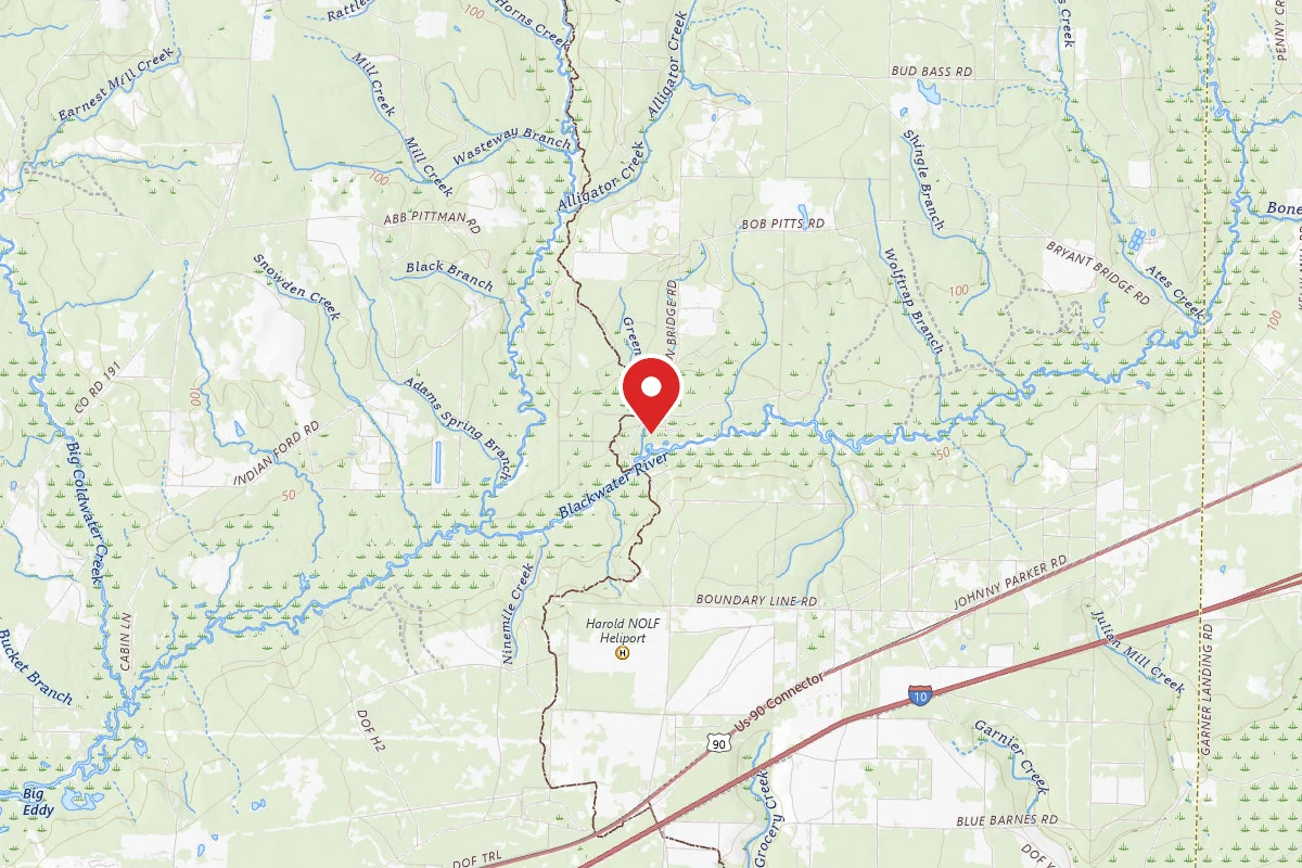
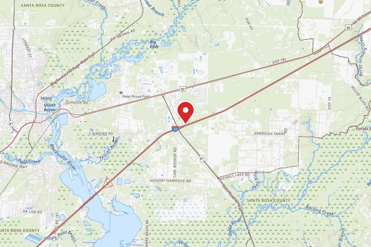
The Yellow River Ravines Trail is a segment of the Blackwater State Forest's extension of the Florida Natural Scenic Trail. The southern terminus of the trail intersects perpendicularly with the main Florida Trail and the northern terminus is located at a parking lot on Pond Rd., which also doubles as the southern terminus of the Blackwater River Trail, another segment of the state forest extension. This trail follows along the Burnt Grocery Creek and offers a campsite with a permanent set of benches, a picnic table, a fire ring, and blazes marked to take you to the creek to harvest fresh water. Ample space at the site for multiple campers accommodating both tent and hammock campers a like. The Yellow River Ravines trail can be accessed from the northern terminus via the parking lot on Pond Rd, via a road crossing on Deer Lake Rd., or by the southern terminus after a short hike on the primary Florida Trail via a road crossing from Miller Bluff Rd (parking may be limited or non-existent). It is recommended to park at Pond Rd. and hike the trail as an in and out trail (~8 miles). This trail crosses Interstate 10 via a short road walk bridge. The road walk is minimal and has you back on the trail immediately after the crossing. The Harold Store (see Waypoints) is the primary resupply location for Florida Trail thru-hikers planing to visit the Blackwater State Forest and its trail extension. The store is located at 10535 US-90, Milton, FL 32583, and is open from 6:00a-6:00p daily, and opening at 7:00a on Sundays. Their phone number is (850) 983-1672. Traveling northbound, the trail is primarily uphill from mile marker 2.2 to the north terminus and offers beautiful terrain from witch the trail gets its namesake.

Trail Conditions

Trail Conditions

Unknown

We have no current condition data for this trail. Check with the operator before you go, and submit a report below if you've been recently.

No recent condition reports. Be the first to share what you see on the trail.

Elevation Profile

Min:11 ft
Max:59 ft
154 ft
120 ft
11 ft27 ft43 ft59 ft0.0 mi1.1 mi2.2 mi3.3 mi4.4 mi

Trail Details

Route Type
Point to Point
Surface
Dirt

Official sources & verification

We don't have curated agency sources for this trail in our cache yet. Outdoors is not the permitting authority — confirm conditions, permits, and access with the managing agency before you go. If you know who manages this trail, please tell us.

Reviews

No reviews yet

Be the first to share your experience and help others plan their visit.

Legacy import — verify before navigating

Path geometry came from our pre-launch legacy database. Routes have not yet been re-verified against the operator and may differ from the actual trail.
Hunt context

This trail crosses hunting units

During hunting seasons, wear blaze orange and check regulations — see the Florida hunting page

Spot an error in our data on Yellow River Ravines Trail?