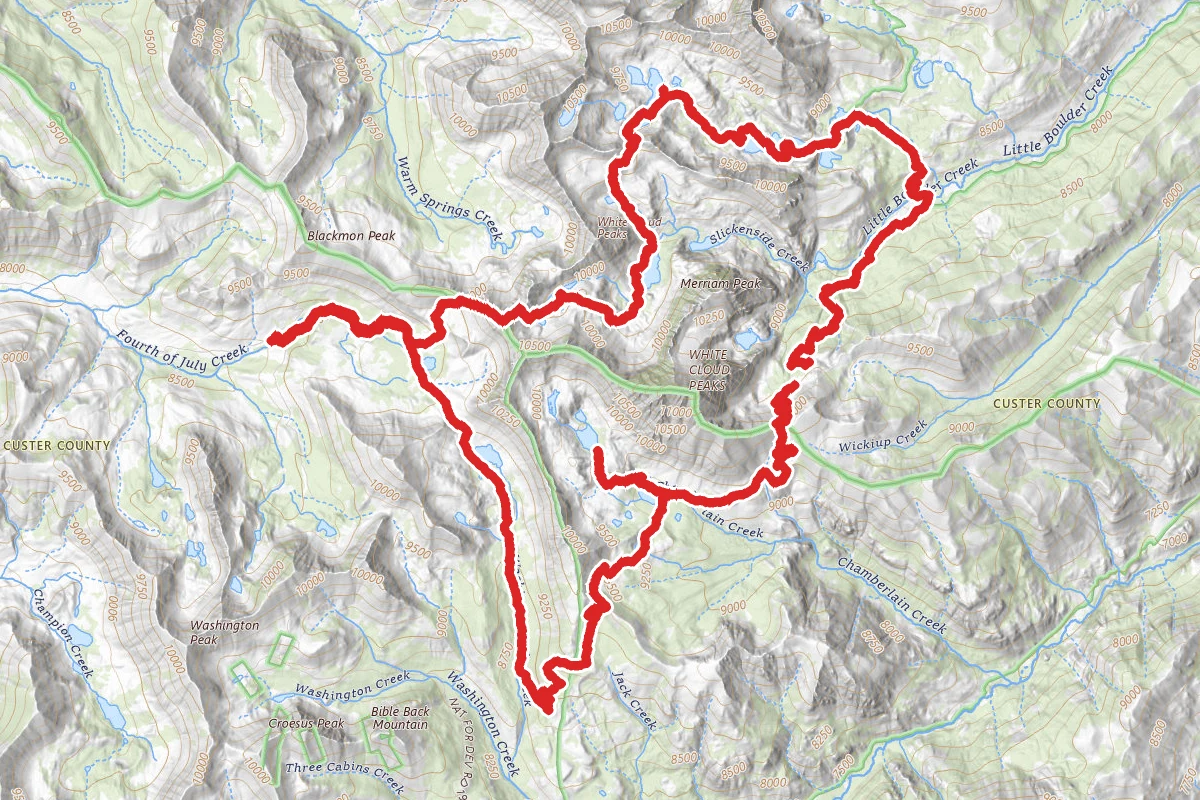
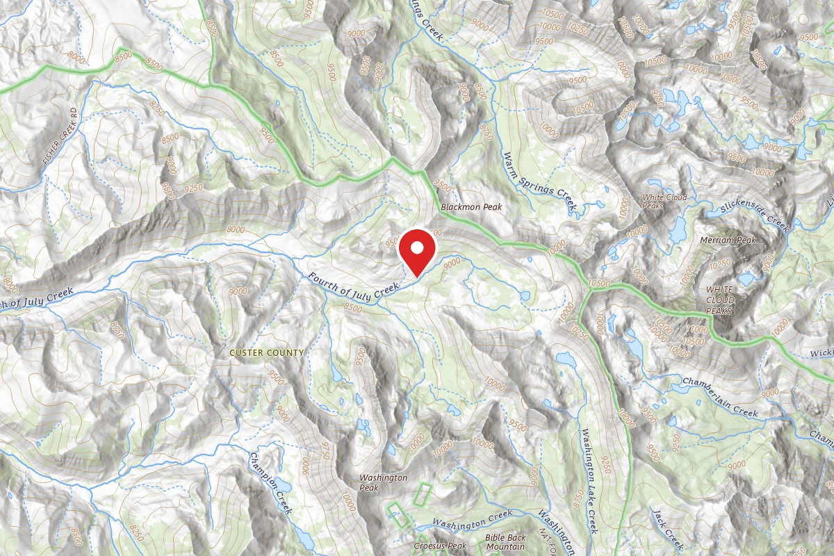
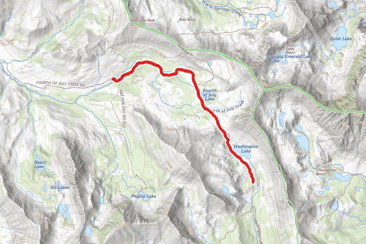
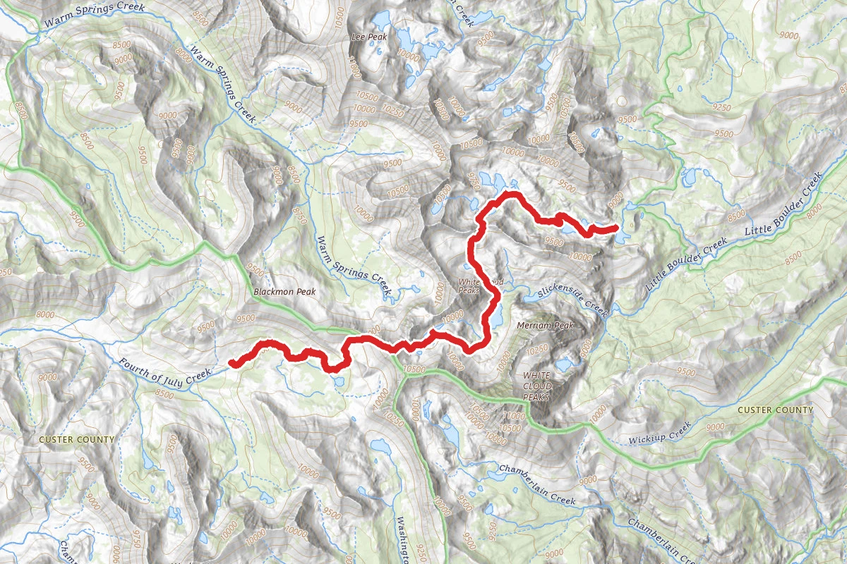
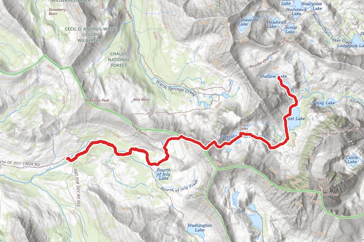
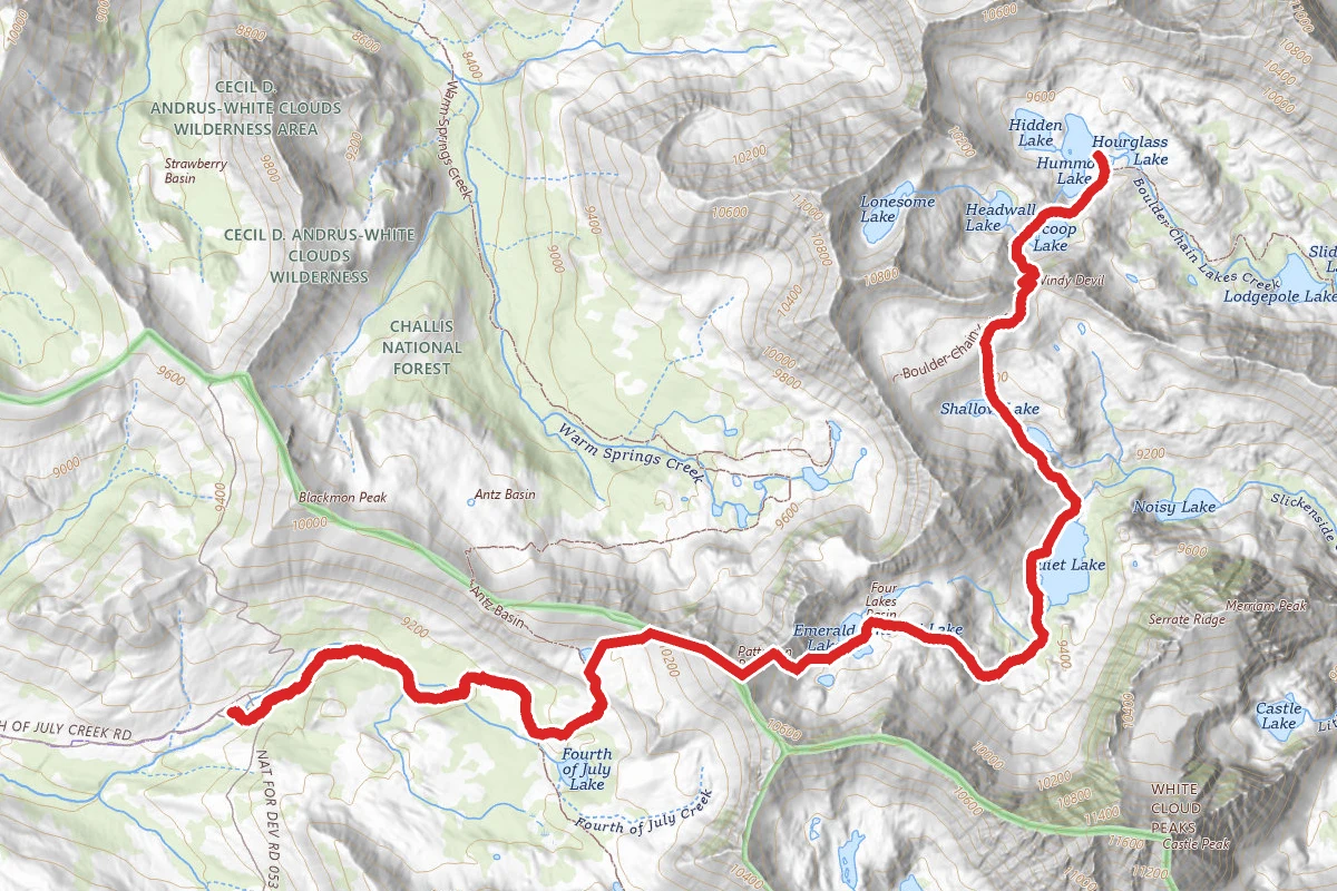
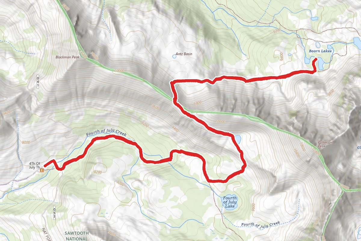
Start at the Fourth of July Creek trail, and follow the trail uphill on wide, well-worn trail (horses and mountain bikes share this part of the trail) through sparse pine and fir to your turn off, at 1.7 miles. From here, you will follow the trail uphill, more steeply towards Born Lakes, and reach a small, unnamed tarn at 2.35 miles, and keep to its south banks to gain the ridge above. It’s all open now, so it will be easy to see where the best access to the ridge will be. Once on the ridge, follow it uphill to reach the summit of Patterson Peak, at 10,854ft of elevation and 3.3 miles in from the TH. The views from here are spectacular, in 360 degrees, as there is nothing but peak after jagged peak stretching out before you, with lake filled basins on two sides, one downhill to Born Lakes, just north from where you’re standing, and NE, down into the Four Lakes basin, your next destination. Heading down into the lakes from the top, you will see a faint climbers trail in the scree field that leads to the basin. At the bottom, you will walk a small division of land between Rock Lake, and Emerald Lake to just below Emerald, at 4.3 miles, where you will intersect a well-worn trail that leads down beside the lowest lake, Cornice Lake. Head uphill slightly east, and find a gully on the other side, that leads downhill, follow the gully down to a U shaped end, and you should see the marshy land below with pools of water amidst mounded humps of grass. Find the easiest route downhill, following this drainage to the southern edge of large Quiet Lake, at 5.4 miles. As you round the lake, you will have spectacular views of the dominant peaks of Serrate Ridge, lined up in a row like sharks teeth, on the east side of the lake. At the north end of the lake, make your way uphill to Scree and Shallow Lake, again off trail. At the northern end of Shallow Lake, at 6.87 miles, you will head straight uphill, steeply, to a small unnamed tarn on this bench. Now, angle away from the small tarn NE, to reach Windy Devil Pass, at 10,059ft elevation, and 7.47 miles in. Laid out before you at the bottom of the pass is the Boulder Chain Lakes Basin, several named lakes feed one another as the Boulder Chain Lake creek plunges downhill through this spectacular valley. You are now on established trail, and the going is all downhill now through several beautiful alpine lakes to your camp at Shelf Lake, 10.3 miles total. Day 2 will take you from Shelf lake downhill past Hatchet and Willow Lake, to a junction at .7 miles, where you will turn right on Little Boulder Creek trail. Now, through a meadow or two and around a bend on a ridge, and ahead to your SW, you will see magnificent Castle Peak in the distance. The trail runs along an open ridge for short distance, before switch backing downhill to the Chamberlain Lakes trail #47, across a small stream, at 2.14 miles. Turn right and it’s all uphill, gaining the ground lost, as you follow the trail steadily up 5.73 miles to the rolling hills at the base of Castle Peak. This massive white granite mountain towers over the terrain, topping out at over 11,000ft and blocks out the sky here. Now, leave the trail, head downhill to the base of the peak, and you can follow the rolling flat land to a cairn marked route at 6.23 miles. There is a well-established footpath that side hills the steep scree field around the NE ridge of Castle peak, to a large amphitheater that contains scenic Castle Lake, a worthy side hike that should not be passed up. Head back to where you left the trail, and follow a winding path to the top of Castle Divide, your high point pass for the day, at 10,000ft. Again, spectacular views are presented from this saddle perch. Now, its all downhill for some time through sparsely treed terrain to your junction to Upper Chamberlain Lakes, reached at mile 10.4, on the eastern edge of the largest of the Chamberlain lakes. Follow the trail across the meadow, then uphill along the outlet stream to the uppermost of the lakes, at 11.8 miles. There are a couple sites at the lower of the two, and a couple at the upper. Day 3 takes you back downhill to the junction at the lower lake, turn right and follow the trail steadily uphill for 1.4 miles where you will round a ridge, then begin another headlong descent through mostly forested hillside for the next 1.78 miles, until you reach the junction with the Germania/Washington Lake trail. Prepare for another uphill assault through mostly forest to reach the next trail junction, at Germania Creek/4th of July Creek in a large meadow at 6.45 miles. Turn right, and follow the 4th of July Creek trail uphill to Washington Lake, another large lake that sits at the base of Washington Pass, your final high point before heading steadily downhill past 4th of July Lake, and your junction back to the TH, a 10 mile trek.
Trail Conditions
Trail Conditions
Unknown
We have no current condition data for this trail. Check with the operator before you go, and submit a report below if you've been recently.
No recent condition reports. Be the first to share what you see on the trail.
We don't have curated agency sources for this trail in our cache yet. Outdoors is not the permitting authority — confirm conditions, permits, and access with the managing agency before you go. If you know who manages this trail, please tell us.
Reviews
No reviews yet
Be the first to share your experience and help others plan their visit.
Legacy import — verify before navigating
Path geometry came from our pre-launch legacy database. Routes have not yet been re-verified against the operator and may differ from the actual trail.