Status unknown — verify before visiting
We don't have current condition data for this trail. Check with the land manager before you go.
1.0 mi
Distance
115 ft
Elev. Gain
40m
Est. Time
Loop
Route Type
Easy
Difficulty
About This Trail
Imported descriptionTrail Conditions
Trail Conditions
We have no current condition data for this trail. Check with the operator before you go, and submit a report below if you've been recently.
No recent condition reports. Be the first to share what you see on the trail.
Trail Details
- Route Type
- Loop
- Surface
- Dirt
Official sources & verification
We don't have curated agency sources for this trail in our cache yet. Outdoors is not the permitting authority — confirm conditions, permits, and access with the managing agency before you go. If you know who manages this trail, please tell us.
Reviews
No reviews yet
Be the first to share your experience and help others plan their visit.
OpenStreetMap
Nearby Trails
More trails near Valley of the Giants Trail
Stay nearby
Campgrounds near this trail
Sunset Landing RV Park
11.2 mi away · OR
Reservable
Tentrr Signature Site - Grandmother Maple Camp...
12 mi away · OR
Reservable
Tentrr Signature Site - Rippling Waters Retreat...
12 mi away · OR
Reservable
Tentrr Signature Site - Shady Grove on Maple Meadow...
12.1 mi away · OR
Reservable
Chinook Bend RV Resort
12.4 mi away · OR
Lincoln County Jack Morgan Park
12.9 mi away · OR
Similar length
Similar trails in Oregon
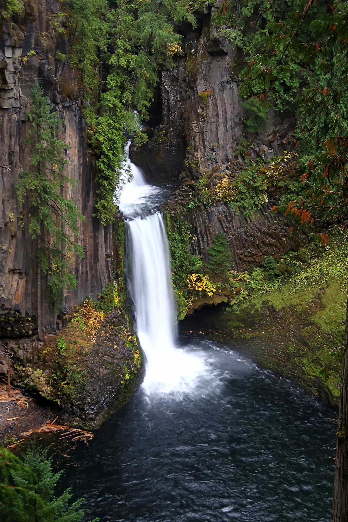
Toketee Falls
Oregon
Hoyt Arboretum Trails
Oregon
Neahkahnie Mountain via Oregon Coast Trail
Oregon
Benham Falls Trail
Oregon
Horsetail Falls and Ponytail Falls
Oregon

Watson Falls
Oregon