Status unknown — verify before visiting

We don't have current condition data for this trail. Check with the land manager before you go.

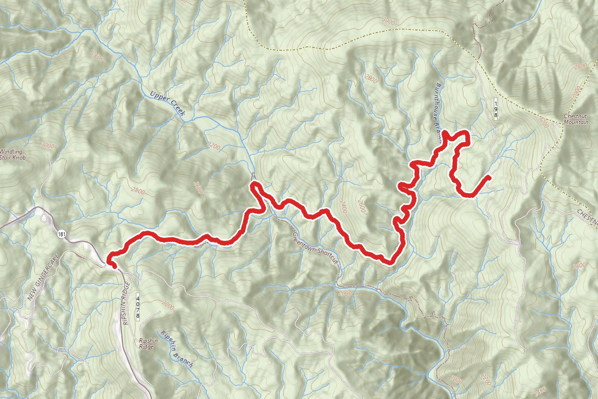
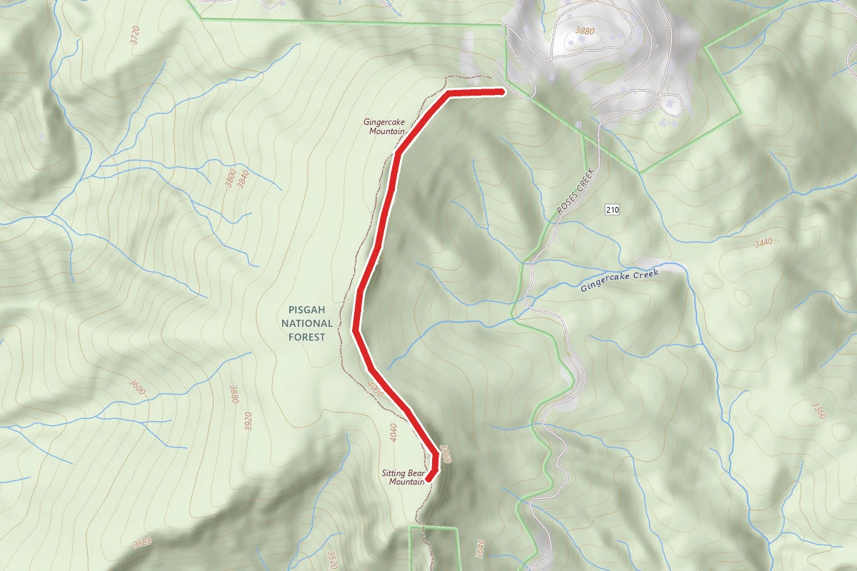
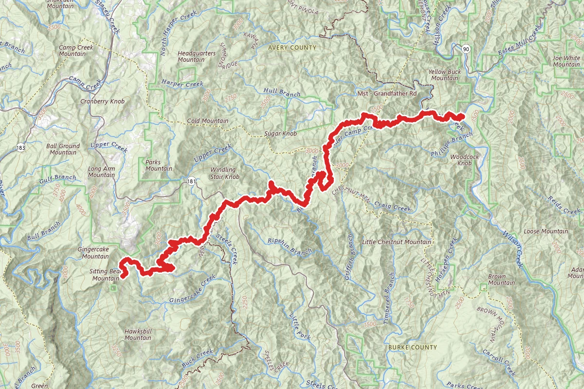
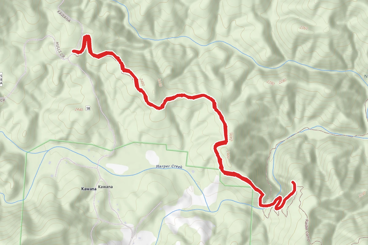
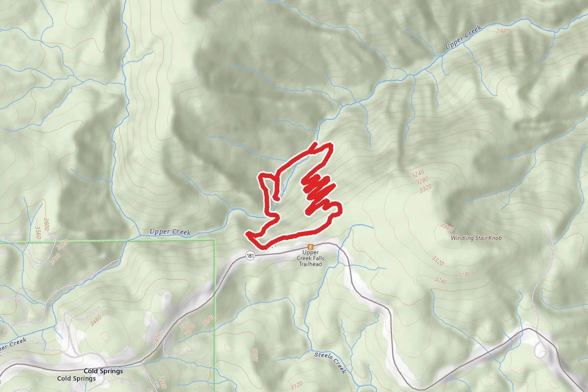
Upper Creek Falls Loop Trail route map
ModerateLoop

Upper Creek Falls Loop Trail

Newland, North Carolina

1.5 mi

Distance

531 ft

Elev. Gain

43m

Est. Time

Loop

Route Type

Moderate

Difficulty

About This Trail

Imported description
Great waterfalls, huge boulders and pools, and a large overhanging rock. There are two ways you can start out. Either the Upper Falls trail or the Lower Falls trail. If you start out on one you can come back on the other and make a complete loop. The Upper Falls trail is much steeper. So it is a good one to take down to the falls, cross the creek and go down the trail to the lower crossing and then come back up the Lower Falls trail. As soon as you leave the parking lot, the trails starts to decend rather quickly and very steeply down. The closer you get to the creek and falls, the down slope gets steeper. After you cross the creek using rocks sticking up out of the creek, the trail still goes in a down slope to the lower crossing. The trail crossings are very well marked with signs. This is a state maintained park. The upper falls crossing has a set of man made wooden steps and "bridge" to help you from the falls up to the Upper Falls trail or vis versa, to help you down to the creek side and top of falls. There is one scenic view on the Upper Falls trail to stop and see a swimming hole in the creek above the falls. The view is far above looking very far down onto the creek and small set of the falls above the main falls. There is a rope swing, used by many to swing out and drop off into the "pool", very deep water pooled in the creek. The water stays ice cold year around. You can also use the smaller falls as a slide down into the "pool". There is a spectacular view of the lower valley below the falls from atop the main falls edge. You can see for miles down the river valley. Very pretty during the summer months, green trees lining the mountains for miles down the valley. During the winter months can see snow covered mountains for miles. There are quite a few picturesque views to take. This trail is not for the elderly or weak at heart. Several strenious stretchs of the trail. The Lower Falls trail is not as steep but still down slopeing at points. There is a small area after crossing the creek on the Upper Falls trail above the main waterfall, that some use as a camping or gathering spot. Leveled and cleared out spot in the forest. With a campfire area and large enough area for a large tent. They do allow swimming and camping here. There is a small trail that goes up to the swimming hole and points north of the main falls after you cross the creek into the "camping" area. Turn left and go up the rarely used trail. If you wish to go to the swimming hole area, you can also walk the large boulders before crossing the creek on Upper Falls trail,along the creek side up to the large boulders surrounding the "pool" swimming hole.

Trail Conditions

Trail Conditions

Unknown

We have no current condition data for this trail. Check with the operator before you go, and submit a report below if you've been recently.

No recent condition reports. Be the first to share what you see on the trail.

Elevation Profile

Min:869 ft
Max:989 ft
162 ft
162 ft
869 ft909 ft949 ft989 ft0.0 mi0.4 mi0.7 mi1.1 mi1.5 mi

Trail Details

Route Type
Loop
Surface
Dirt

Official sources & verification

We don't have curated agency sources for this trail in our cache yet. Outdoors is not the permitting authority — confirm conditions, permits, and access with the managing agency before you go. If you know who manages this trail, please tell us.

Reviews

No reviews yet

Be the first to share your experience and help others plan their visit.

Legacy import — verify before navigating

Path geometry came from our pre-launch legacy database. Routes have not yet been re-verified against the operator and may differ from the actual trail.

Spot an error in our data on Upper Creek Falls Loop Trail?