Moderate
3 mi
Distance
974 ft
Elev. Gain
1h 22m
Est. Time
0.0
0 Reviews
About This Trail
The trail has been temporarily closed due to carbon dioxide emissions. For up to date information, please check the park's website.
Trail Details
Out & Back
Route Type
Dirt
Surface
Dogs Allowed (Leash Required)
Dog Policy
Yes
Kid Friendly
No
Permit Required
Elevation Profile
Min:295 ft
Max:441 ft
297 ft
297 ft
Reviews
No reviews yet
Be the first to share your experience and help others plan their visit.
Trail Conditions
Trail Conditions
Unknown
Updated Unknown
No recent condition reports. Be the first to share what you see on the trail.
Mount Washington Trail [CLOSED]
13.4 km
Difficult
Iron Horse Trail from Olallie State Park to Rattlesnake Lake [CLOSED]
21.6 km
Moderate
![Iron Horse Trail from Olallie State Park to Rattlesnake Lake [CLOSED]](https://www.nps.gov/common/uploads/structured_data/3C873CC3-1DD8-B71B-0B076FC2806DF140.jpg?width=800&quality=80)
Iron Horse Trail from Olallie State Park to Rattlesnake Lake [CLOSED]
21.6 km4.0
Moderate
Weeks Falls Interpretive Trail
1.3 km
Easy
Weeks Falls Interpretive Trail
1.3 km4.0
Easy
Zig Zag Trail
1.3 km
Difficult
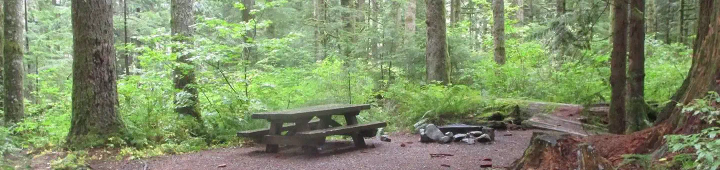
Stay nearby
Campgrounds near this trail
Similar length
Similar trails in Washington

Skyline Trail Loop
Washington
4.0 km518 mgain
Moderate
_(2).jpg/1280px-Hurricane_Ridge_-_Olympic_National_Park_-_Washington_State_(9779814371)_(2).jpg)
Hurricane Ridge Trails
Washington
3.7 km198 mgain
Moderate
Twin Falls Trail [CLOSED]
Washington
5.8 km409 mgain
Moderate
Little Si Trail [CLOSED]
Washington
6.0 km481 mgain
Moderate
Heather Lake Trail
Washington
6.8 km430 mgain
Moderate
Discovery Park and Lighthouse Loop Trail
Washington
7.1 km258 mgain
Easy