Status unknown — verify before visiting
We don't have current condition data for this trail. Check with the land manager before you go.
38.7 mi
Distance
7,103 ft
Elev. Gain
16h 4m
Est. Time
Out & Back
Route Type
Expert
Difficulty
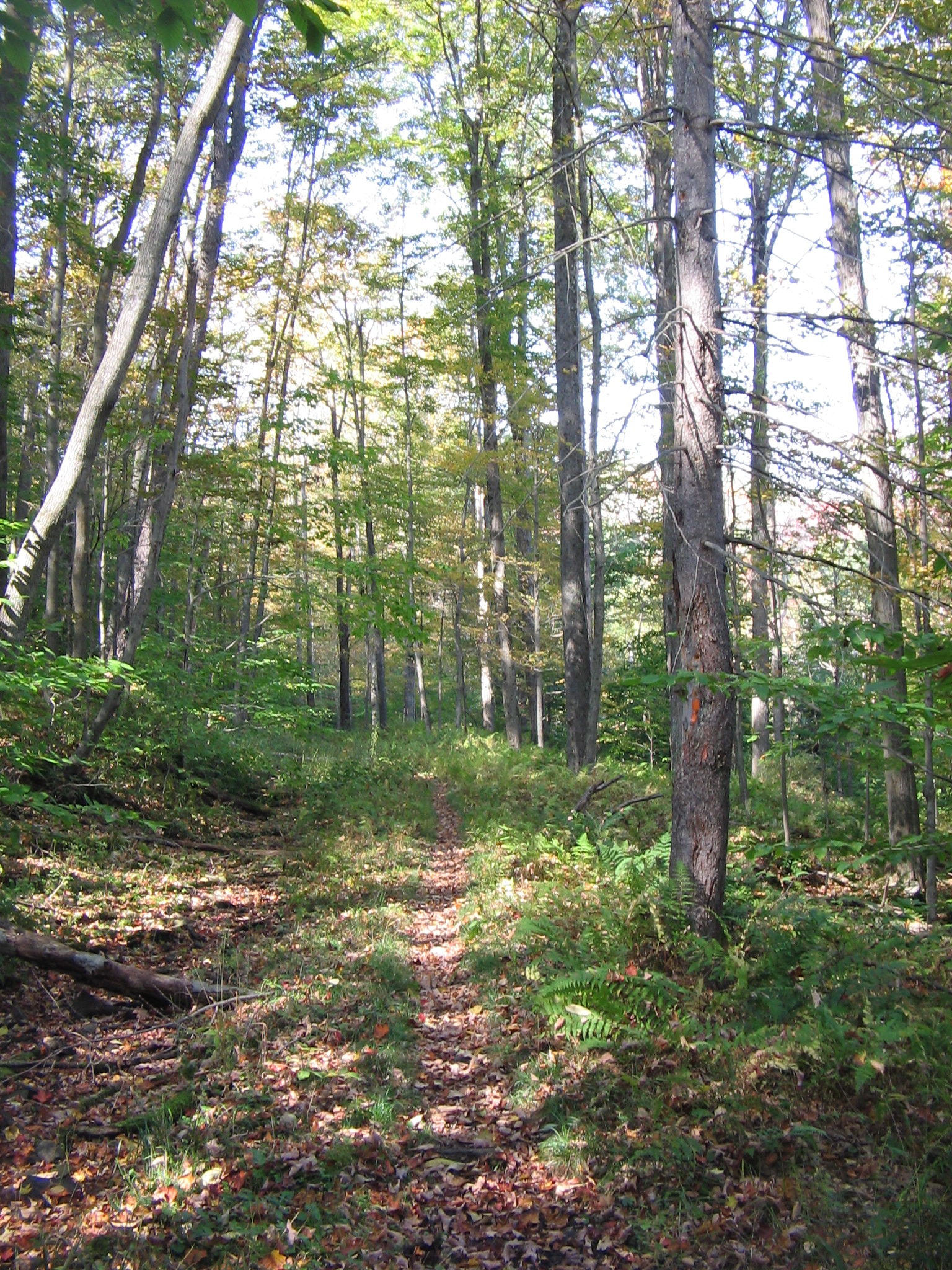
About This Trail
Imported descriptionFrom Wikipedia
Source: Wikipedia — text licensed CC BY-SA 4.0. Verify trail conditions and seasonal closures with the managing agency before you go.
Trail Conditions
Trail Conditions
We have no current condition data for this trail. Check with the operator before you go, and submit a report below if you've been recently.
No recent condition reports. Be the first to share what you see on the trail.
Elevation Profile
Trail Details
- Route Type
- Out & Back
- Surface
- Dirt
Official sources & verification
We don't have curated agency sources for this trail in our cache yet. Outdoors is not the permitting authority — confirm conditions, permits, and access with the managing agency before you go. If you know who manages this trail, please tell us.
Reviews
No reviews yet
Be the first to share your experience and help others plan their visit.
Legacy import — verify before navigating
Path geometry came from our pre-launch legacy database. Routes have not yet been re-verified against the operator and may differ from the actual trail.
Nearby Trails
More trails near Standing Stone Trail
Greenwood Spur Standing Stone, Ruff Gap and Rag Hollow Road Loop
Greenwood Furnace State Park Loop
Standing Stone Trail and Turkey Hill Rd Loop
Collier Trail
Ruff Gap Trail
Ross Trail
Stay nearby
Campgrounds near this trail
Reservable
Tentrr Signature Site - Piney Pond Retreat at Tuckaway Tree Farm
2.5 mi away · PA
Reservable
Hartman Center Campground
9.6 mi away · PA
Reservable
Waterside Campground and RV Park
10.2 mi away · PA
Reservable
Seven Mountains Campground
10.8 mi away · PA
Reservable
Reeds Gap State Park
15.5 mi away · PA
Reservable
Riverbank Campground
17.8 mi away · PA
Similar length
Similar trails in Pennsylvania
Blue Marsh Trail
Pennsylvania

Montour Trail
Pennsylvania
Old Loggers Path
Pennsylvania
D&L Trail (Lehigh Gorge Trail)
Pennsylvania
Tioga West Rim Trail
Pennsylvania

Laurel Highlands Hiking Trail
Pennsylvania