Status unknown — verify before visiting
We don't have current condition data for this trail. Check with the land manager before you go.
19.6 mi
Distance
2,989 ft
Elev. Gain
7h 37m
Est. Time
Out & Back
Route Type
Expert
Difficulty
About This Trail
Imported descriptionTrail Conditions
Trail Conditions
We have no current condition data for this trail. Check with the operator before you go, and submit a report below if you've been recently.
No recent condition reports. Be the first to share what you see on the trail.
Elevation Profile
Trail Details
- Route Type
- Out & Back
- Surface
- Dirt
Official sources & verification
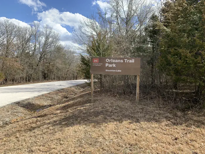
Managed by US Army Corps of Engineers
Verify by phone or mail
- Address:MO
Reviews
No reviews yet
Be the first to share your experience and help others plan their visit.
Legacy import — verify before navigating
Path geometry came from our pre-launch legacy database. Routes have not yet been re-verified against the operator and may differ from the actual trail.

Stay nearby
Campgrounds near this trail
Similar length
Similar trails in Missouri
Chubb Trail via West Tyson Trailhead
Missouri
Lost Valley Trail Loop
Missouri
Grants Trail
Missouri
Longview Lake and Little Blue River
Missouri
Rock Island Rail Corridor Shared Use Path
Missouri
Green Rock Trail
Missouri