Moderate
7 mi
Distance
1,647 ft
Elev. Gain
2h 56m
Est. Time
0.0
0 Reviews
About This Trail
It has been reported that the trail is temporarily closed. The website contains up to date information.
Trail Details
Loop
Route Type
Dirt
Surface
Dogs Allowed (Leash Required)
Dog Policy
Yes
Kid Friendly
No
Permit Required
Elevation Profile
Min:443 ft
Max:796 ft
502 ft
502 ft
Reviews
No reviews yet
Be the first to share your experience and help others plan their visit.
Trail Conditions
Trail Conditions
Unknown
Updated Unknown
No recent condition reports. Be the first to share what you see on the trail.
Nearby Trails
More trails near Rhododendron Creek Trail [CLOSED]![Cat Stairs [CLOSED]](https://www.nps.gov/common/uploads/structured_data/3C873CC3-1DD8-B71B-0B076FC2806DF140.jpg?width=800&quality=80)
In this park
Other trails in Great Smoky Mountains National Park
Alum Cave Trail to Mount LeConte
Tennessee
16.9 km1,374 mgain
Difficult
Laurel Falls Trail [CLOSED]
Tennessee
3.9 km285 mgain
Easy
Chimney Tops Trail [CLOSED]
Tennessee
5.8 km502 mgain
Difficult
Rainbow Falls Trail [CLOSED]
Tennessee
8.9 km730 mgain
Difficult
Grotto Falls Trail [CLOSED]
Tennessee
4.2 km336 mgain
Moderate
Abrams Falls Trail [CLOSED]
Tennessee
7.9 km378 mgain
Moderate
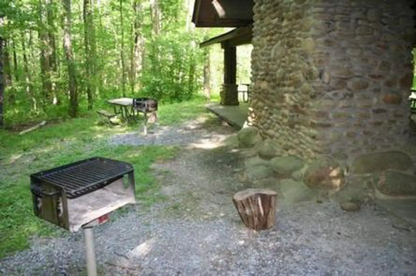
Stay nearby
Campgrounds near this trail
Similar length
Similar trails in Tennessee
Alum Cave Trail to Mount LeConte
Tennessee
16.9 km1,374 mgain
Difficult
Chimney Tops Trail [CLOSED]
Tennessee
5.8 km502 mgain
Difficult
Rainbow Falls Trail [CLOSED]
Tennessee
8.9 km730 mgain
Difficult
Abrams Falls Trail [CLOSED]
Tennessee
7.9 km378 mgain
Moderate
Mossy Ridge Trail
Tennessee
7.9 km374 mgain
Moderate
Virgin Falls Trail
Tennessee
13.4 km524 mgain
Difficult