Status unknown — verify before visiting

We don't have current condition data for this trail. Check with the land manager before you go.

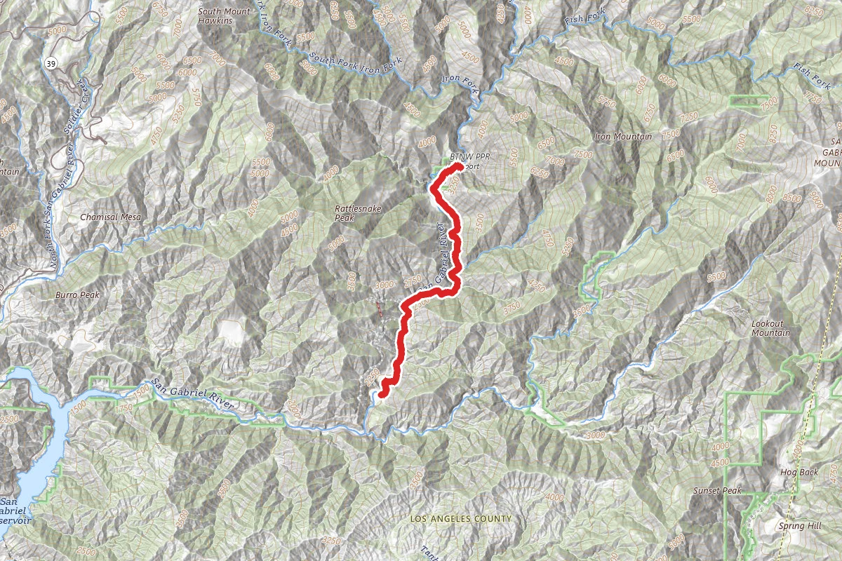
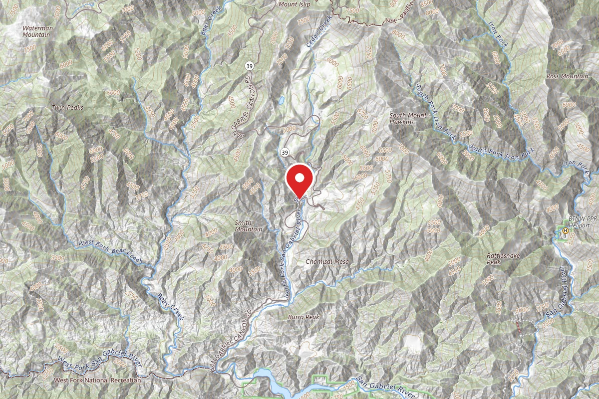
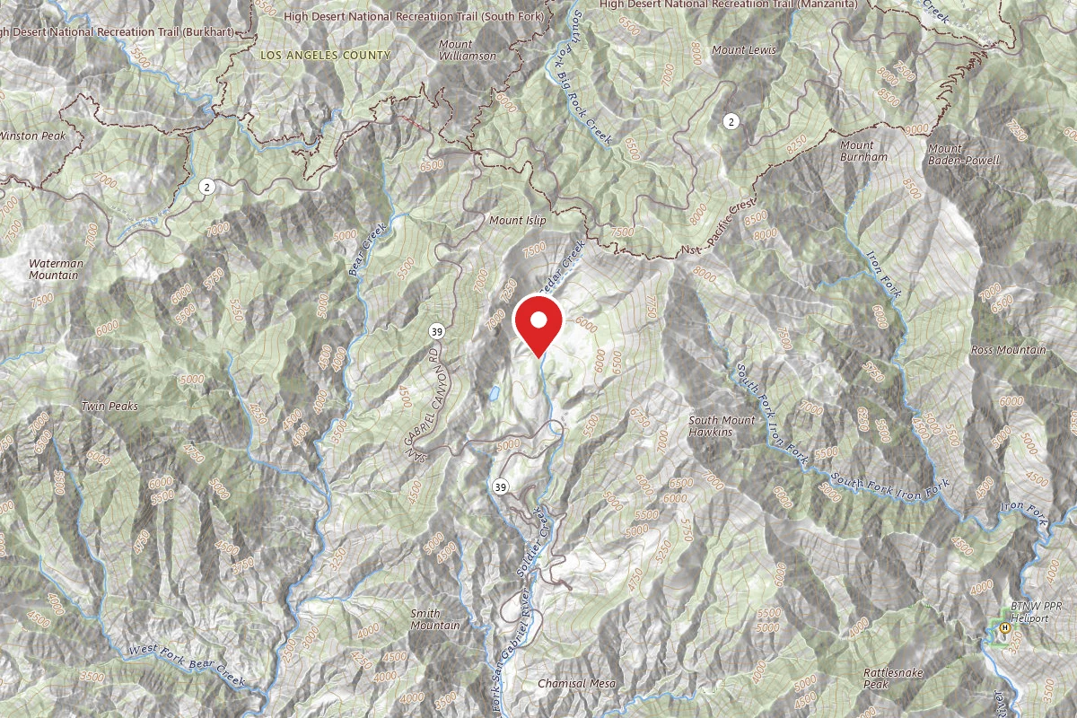
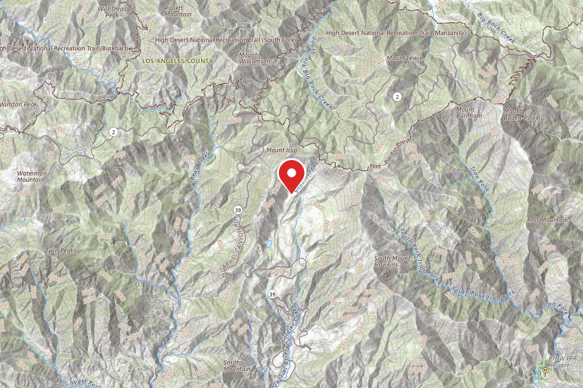
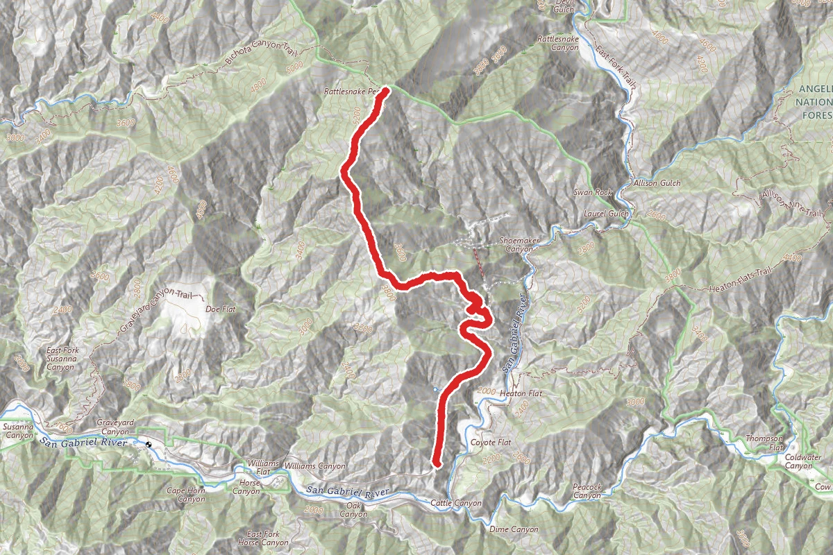
Rattlesnake Peak Trail route map
ExpertOut and Back

Rattlesnake Peak Trail

Azusa, California

8.3 mi

Distance

4,537 ft

Elev. Gain

4h 50m

Est. Time

Out & Back

Route Type

Expert

Difficulty

About This Trail

Imported description
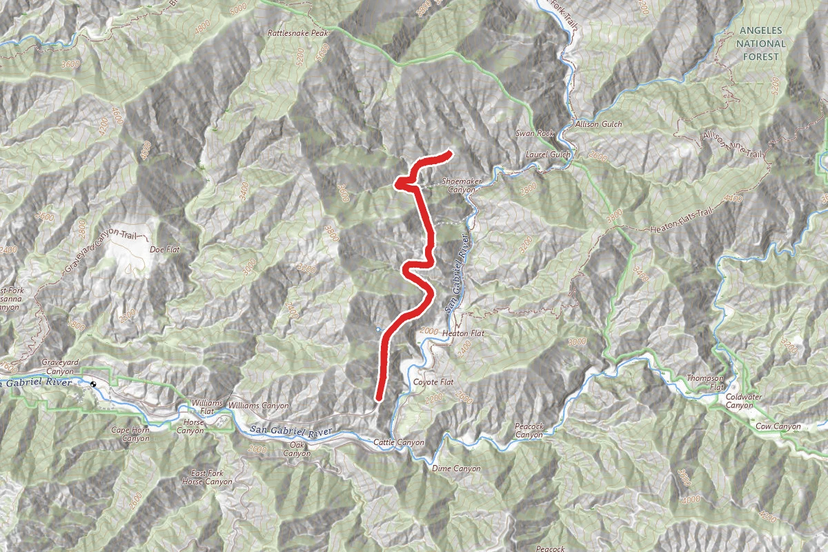
A very steep hike along a ridge system with over 3500 feet of elevation change. Considered the 2nd most difficult peak to reach in all of the Angeles National Forest. From the locked gate (34o14.12'N 117o46.23'W, elevation 2210ft) follow the dirt road for 1.1mi (about 35min) to the point where the route to Rattlesnake Peak climbs through the brush slope on your left (34o14.96'N 117o45.88'W, elevation 2670ft). This is the critical navigational point on the hike and can be recognized as follows. Begin to take note when the dirt road makes a broad detour to the left into a substantial lateral gully. As you emerge from this detour, the road rounds a headland and, immediately in front of you, you should see a pyramid-like pinnacle just to the left of the road. Just before this pyramid the road crosses a small but deep gully. You should be able to find the remains of an old road that travels up the left-hand side of this gully. (You will also see some road remains on the steep slope on the right of the gully but ignore this.) To reach the old road there is an initial steep climb of about 15ft; several ducks have also be placed here to mark this critical junction. Having made the initial climb, proceed up the old road and veer right after about 100yds following the old road bed as it crosses to the other side of the gully. After another 100yds, the road reaches a saddle in a small cutting just to the west of the pyramid. Here you will recognize a prominent ridge that climbs steeply to the west from the saddle. The route follows a rough use-trail on the apex of this ridge. The use-trail is generally clear but overgrown in some places. At such points my advice is to stick to the apex of the ridge in order to relocate the trail a short distance further on. The first part of the climb is steep and proceeds in a NW direction. However, at 34o15.19'N 117o46.10'W and an elevation of 3380ft (and about 1hr 30min from the start), the trail reaches a broader ridge and turns westward (left), climbing more gently. Here there are several fields of dense brush and it becomes harder to follow the trail; head for the rocky outcroppings above you on the apex of the ridge. Then, at 34o15.12'N 117o46.55'W and an elevation of 3940ft (and about 2hr 20min from the start) the ridge you have followed merges with a north/south ridge and the trail turns north to follow the latter. It is then a matter of following this ridge all the way to the summit. There are some ups and downs and places where the overgrown brush has obliterated the trail but, 4.5hrs and 3.4mi from the start you will reach the 5826ft summit of Rattlesnake Peak (34o16.31'N 117o46.61'W).

Trail Conditions

Trail Conditions

Unknown

We have no current condition data for this trail. Check with the operator before you go, and submit a report below if you've been recently.

No recent condition reports. Be the first to share what you see on the trail.

Elevation Profile

Min:692 ft
Max:1,765 ft
1,383 ft
1,383 ft
692 ft1,050 ft1,407 ft1,765 ft0.0 mi2.1 mi4.1 mi6.2 mi8.3 mi

Trail Details

Route Type
Out & Back
Surface
Dirt

Official sources & verification

We don't have curated agency sources for this trail in our cache yet. Outdoors is not the permitting authority — confirm conditions, permits, and access with the managing agency before you go. If you know who manages this trail, please tell us.

Reviews

No reviews yet

Be the first to share your experience and help others plan their visit.

Legacy import — verify before navigating

Path geometry came from our pre-launch legacy database. Routes have not yet been re-verified against the operator and may differ from the actual trail.

Hunt context

This trail crosses hunting units

During hunting seasons, wear blaze orange and check regulations — see the California hunting page

Spot an error in our data on Rattlesnake Peak Trail?