Status unknown — verify before visiting

We don't have current condition data for this trail. Check with the land manager before you go.

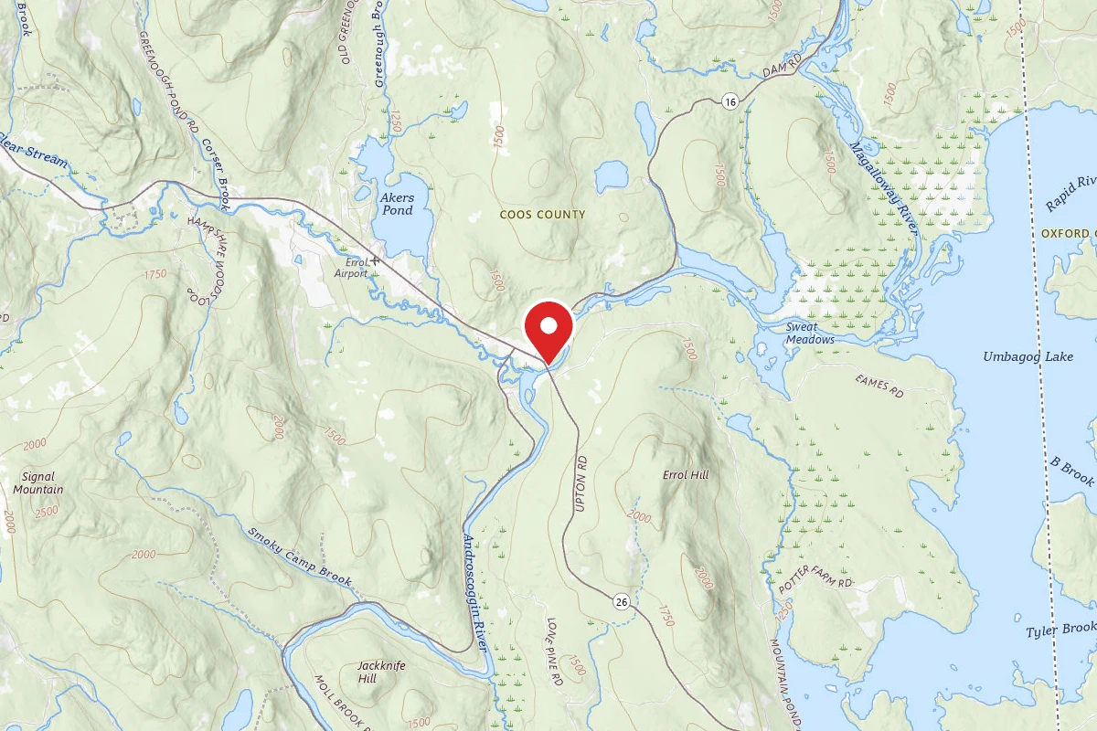
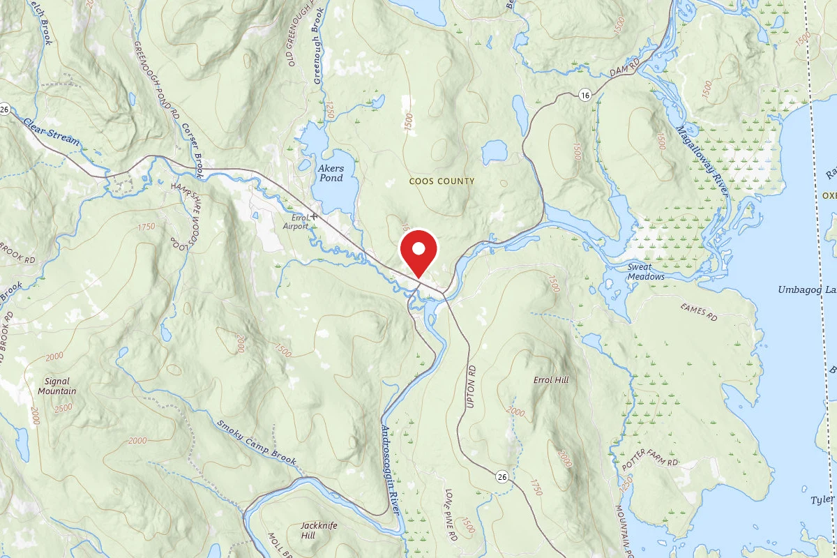
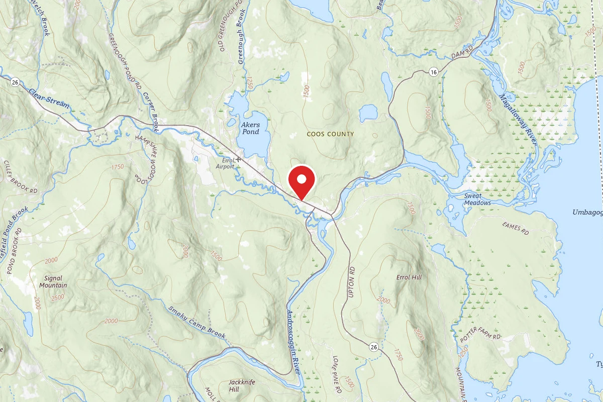
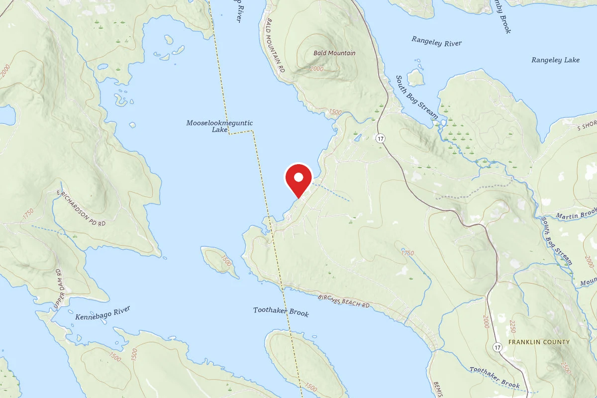
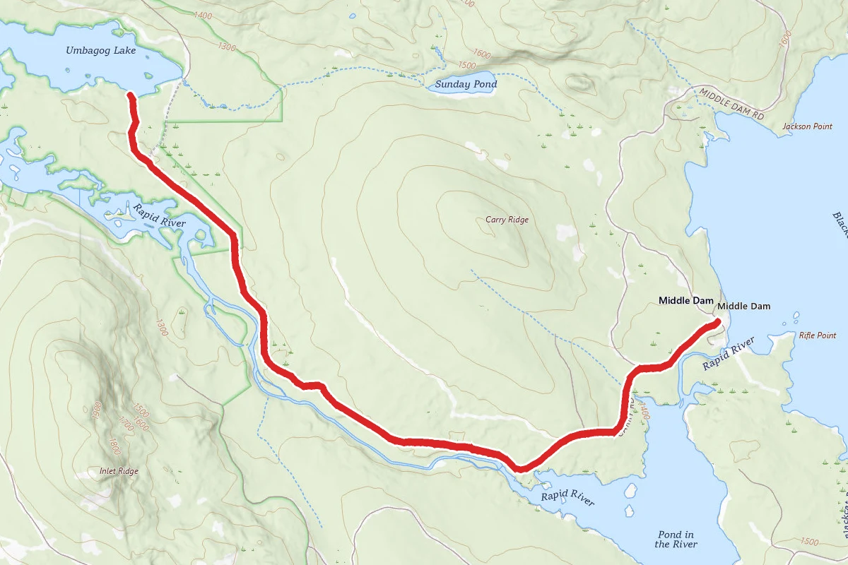
Rapid River Via Carry Road route map
EasyOut and Back

Rapid River Via Carry Road

Oquossoc, Maine

10.5 mi

Distance

778 ft

Elev. Gain

3h 50m

Est. Time

Out & Back

Route Type

Easy

Difficulty

About This Trail

Imported description
Please note: this site is open to the public although it is on privately owned land. Over a hundred years ago when construction began on Lower Dam, the Rapid River was nearly unknown to man. Tucked away in dark forests miles from even primitive land travel routes, very few men made it to the banks of the river to appreciate the piece of beauty that is know today. The advent of log driving on the Rangeley Lakes chain brought logging camps and eventually sporting camps to the Rapid River lands. Among them include the setting of Louise Dickenson Rich’s books, including “We Took to the Woods”. Mrs. Rich’s books capture the historical use of the lands, as well as the rural-life experiences of her family, neighbors and visitors. RLHT acquired approximately 320 acres at Upper and Middle Dams and along the Rapid River in June 2004 as part of a Settlement Agreement with Union Water Power Co. and FPL Energy during the licensing of Upper and Middle Dams. Protective covenants were placed on the lands to ensure traditional access for recreational and sporting activities. The Rapid River itself is located between Lower Richardson and Umbagog Lakes and are part of the Androscoggin River drainage basin. The Rapid River, which contains approximately 3 ½ miles of nearly continuous Class III-IV rapids, is one of the most spectacular whitewater rivers in Maine. Containing a variety of individual rapids that are regionally and nationally recognized by whitewater enthusiasts, the most impressive of these are Cluley’s Rip, Elephant Rock, and Cold Spring Rapids, all downstream of Long Pool. These “rips” are approximately 250 yards long each with 50 yards of fast moving water separating them. Other rapids include Smooth Ledge, Island Rip and the Devil’s Hopyard. Smooth Ledge is a widely popular boater’s “playground”, where hundreds of boats congregate during scheduled whitewater releases. The river flows in a northwesterly direction and drops approximately 155 feet in 3 miles. There are no falls or steep drops in the river, which is unusual for a river of this gradient. Apart from the Rapid River itself, the area is located in an exceptionally scenic area, but sparsely populated and with limited road access. Visitors to this area need to be prepared to hike 2-5 miles beyond a gate to access the River along the north shores. The infamous “Carry Trail” is the historic primary foot travel route that serves access from Middle Dam to Umbagog Lake. Several foot trails divert from the Carry Trail, leading to legendary river access for fishing, paddling, picnicking and more. Camping is allowed at Cedar Stump campsites. Reservations can be made by calling North Waters Canoe and Kayak at: (603) 482-3817. Camping and campfires are prohibited elsewhere along the shores of both the Rapid River and Pond in the River.

Trail Conditions

Trail Conditions

Unknown

We have no current condition data for this trail. Check with the operator before you go, and submit a report below if you've been recently.

No recent condition reports. Be the first to share what you see on the trail.

Elevation Profile

Min:385 ft
Max:459 ft
237 ft
237 ft
385 ft410 ft434 ft459 ft0.0 mi2.6 mi5.3 mi7.9 mi10.5 mi

Trail Details

Route Type
Out & Back
Surface
Dirt

Official sources & verification

We don't have curated agency sources for this trail in our cache yet. Outdoors is not the permitting authority — confirm conditions, permits, and access with the managing agency before you go. If you know who manages this trail, please tell us.

Reviews

No reviews yet

Be the first to share your experience and help others plan their visit.

Legacy import — verify before navigating

Path geometry came from our pre-launch legacy database. Routes have not yet been re-verified against the operator and may differ from the actual trail.

Spot an error in our data on Rapid River Via Carry Road?