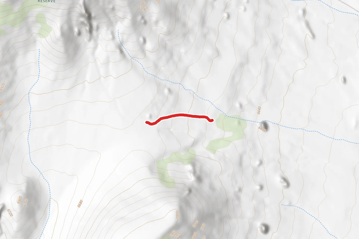
Private Idaho trail
0.3 mi
Distance
157 ft
Elev. Gain
Point to Point
Route Type
Easy
Difficulty
About This Trail
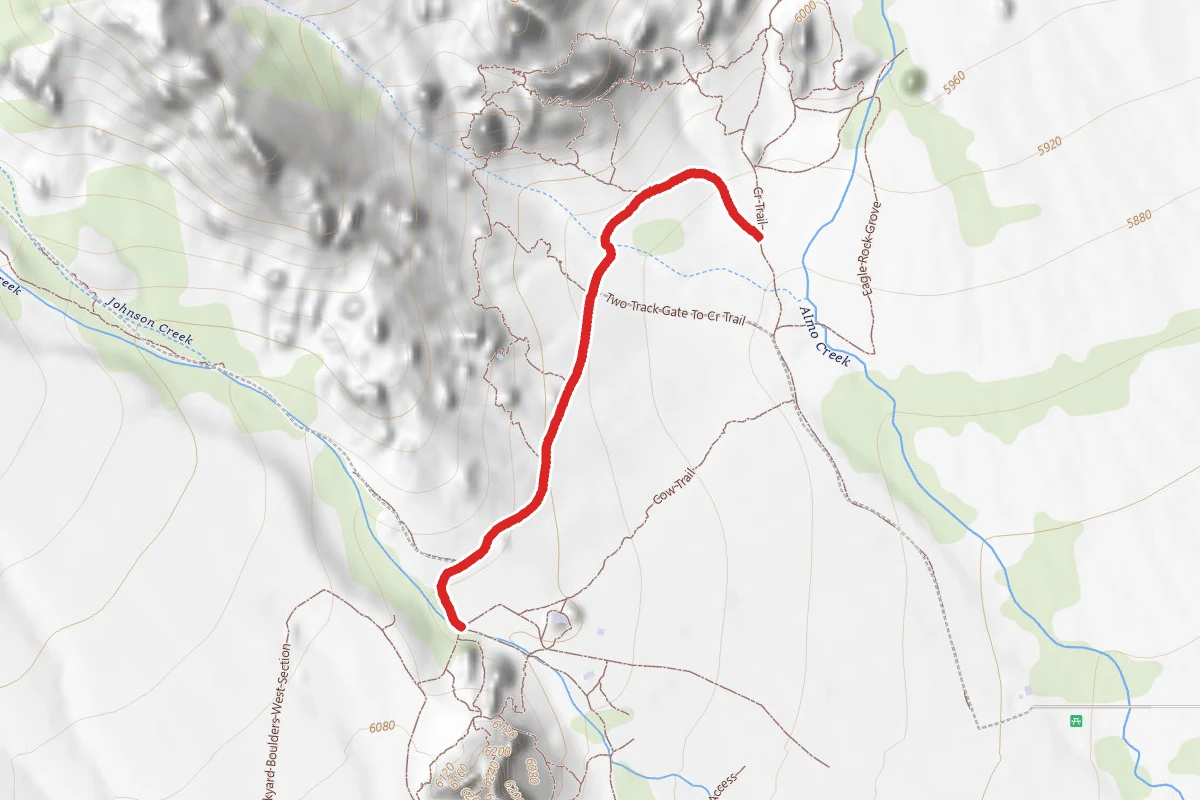
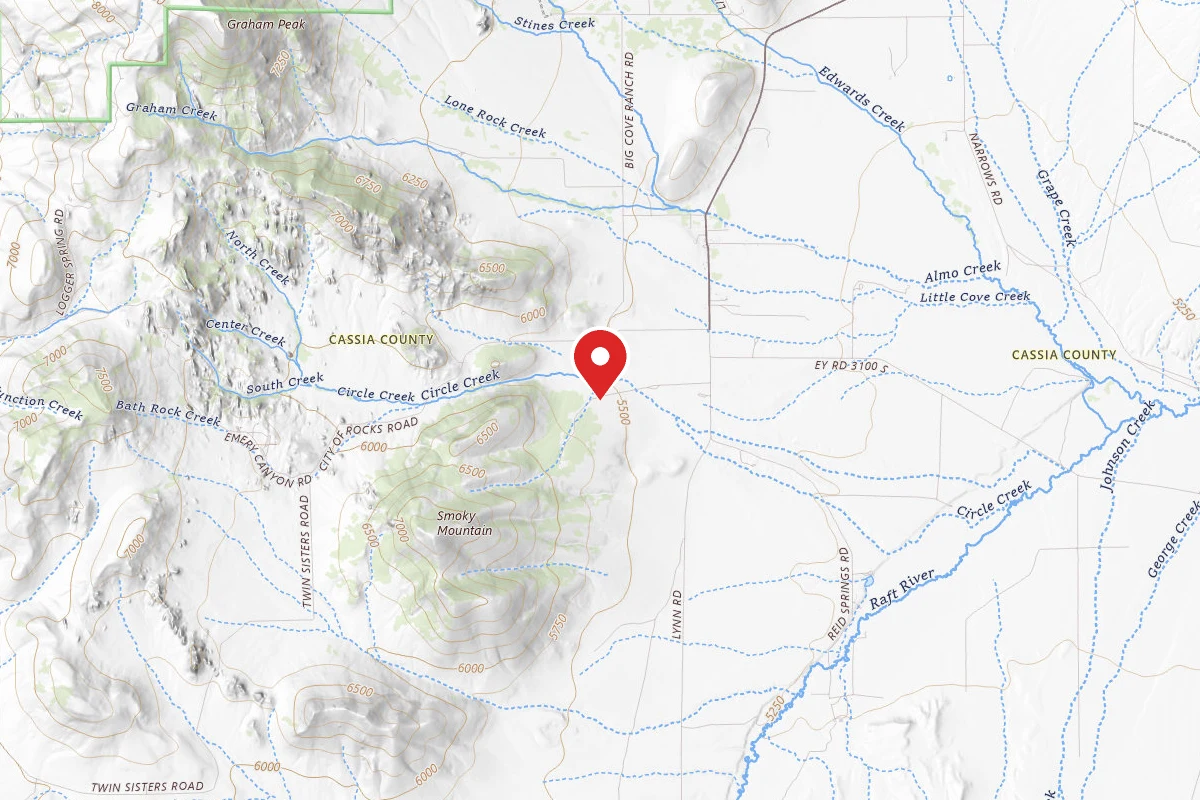
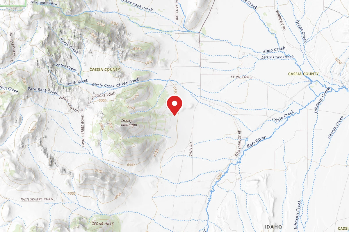
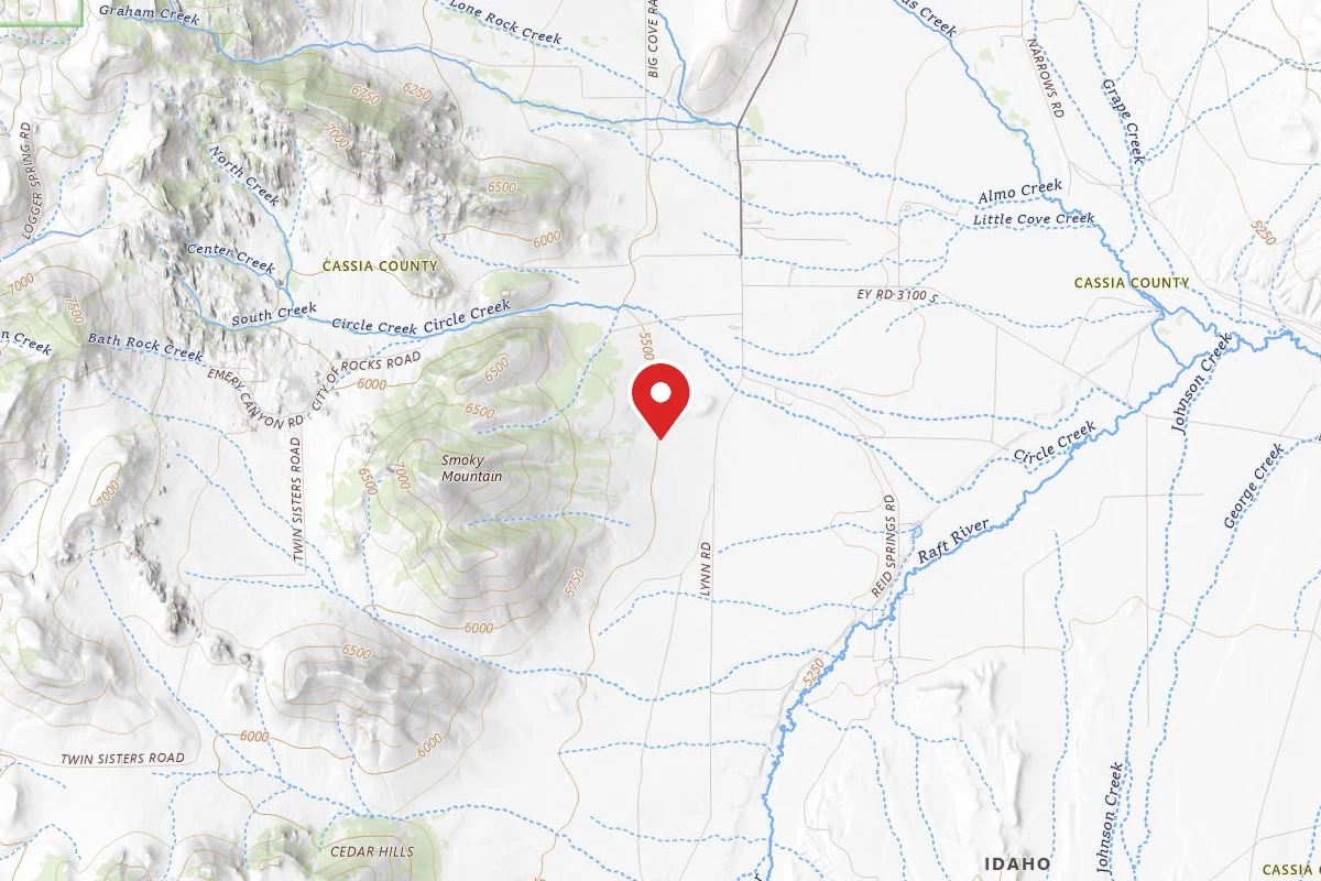
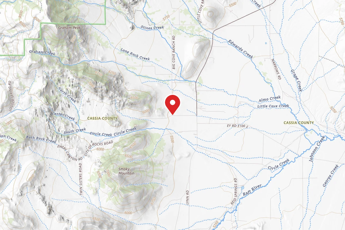
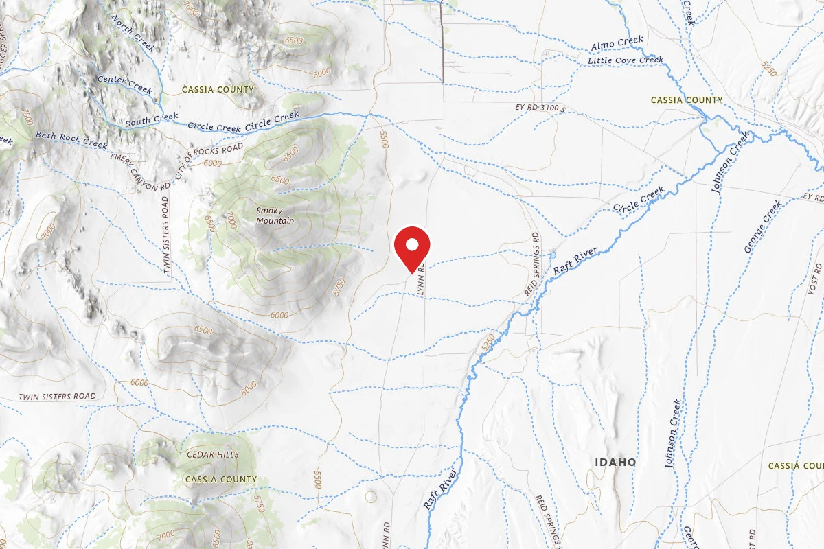
Private Idaho trail is a point-to-point trail in City of Rocks National Reserve, managed by the National Park Service, in Cassia County, Idaho. It is 0.3 miles long and gains 157 feet. The surface is dirt. The nearest town is Oakley, Idaho, about 13 miles away in a straight line.
From the trail data on this page. For conditions and closures, see official sources.
Trail Conditions
Trail Conditions
We have no current condition data for this trail. Check with the operator before you go, and submit a report below if you've been recently.
No recent condition reports. Be the first to share what you see on the trail.
Trail Details
- Route Type
- Point to Point
- Surface
- Dirt
Official sources & verification
Managed by National Park Service
Source of truth
- National Park Service unit page
Alerts, conditions, and the unit's plan-your-visit page.
Where it is
- Nearest town:
- Oakley, ID · about 13 mi away
- County:
- Cassia County, ID
- Jurisdiction:
- City of Rocks National Reserve · National Park Service
Nearest town and county from U.S. Census Bureau place records and county boundaries.
Reviews
No reviews yet
Be the first to share your experience and help others plan their visit.
Verified from NPS Public Trails
Nearby Trails
More trails near Private Idaho trail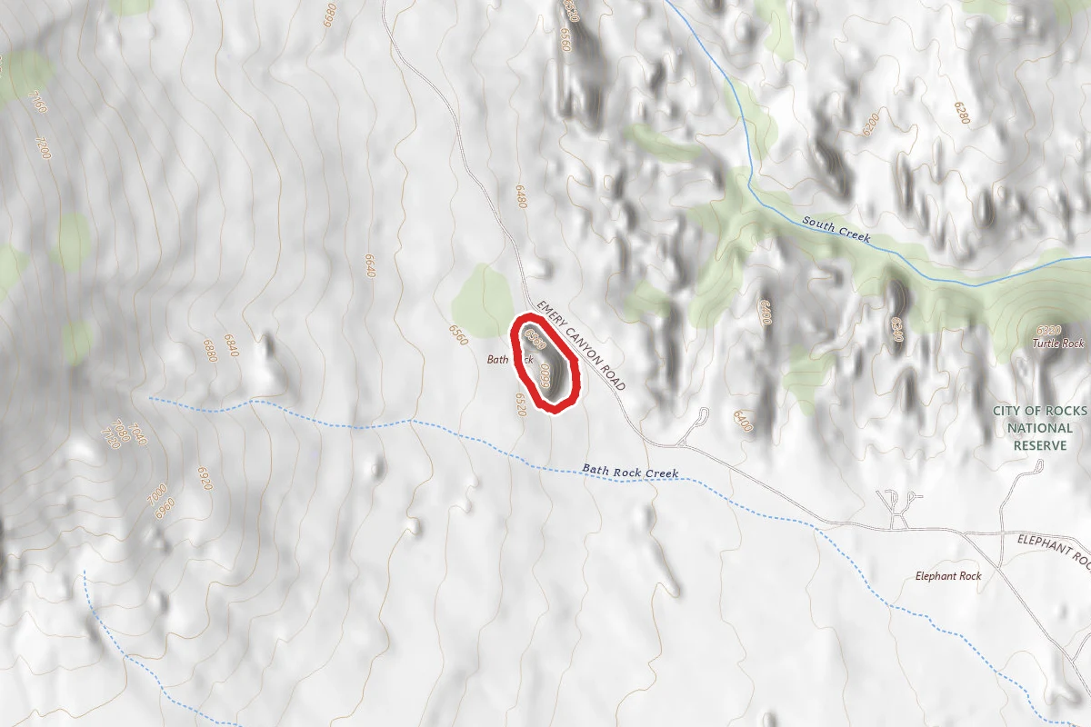
Bath Rock Trail
0.8 mi away
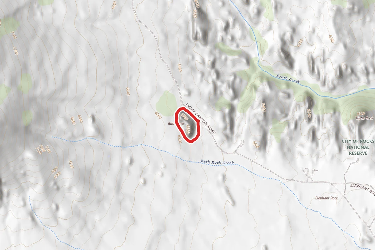
Bath Rock loop
0.8 mi away
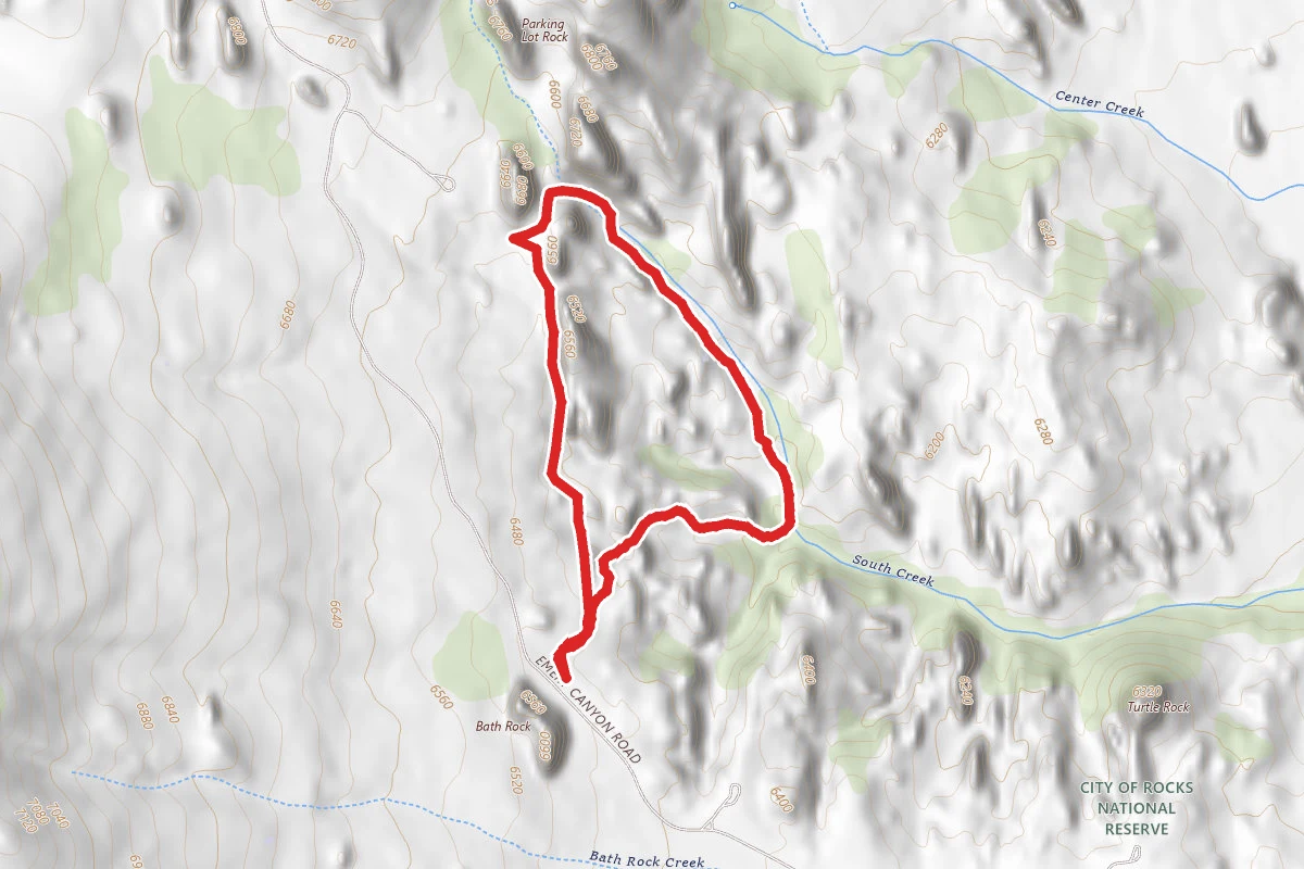
Creekside Towers Trail
0.8 mi away
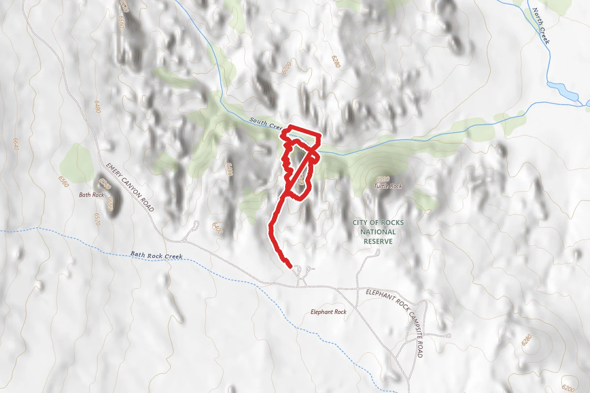
flaming rock trail
1.0 mi away
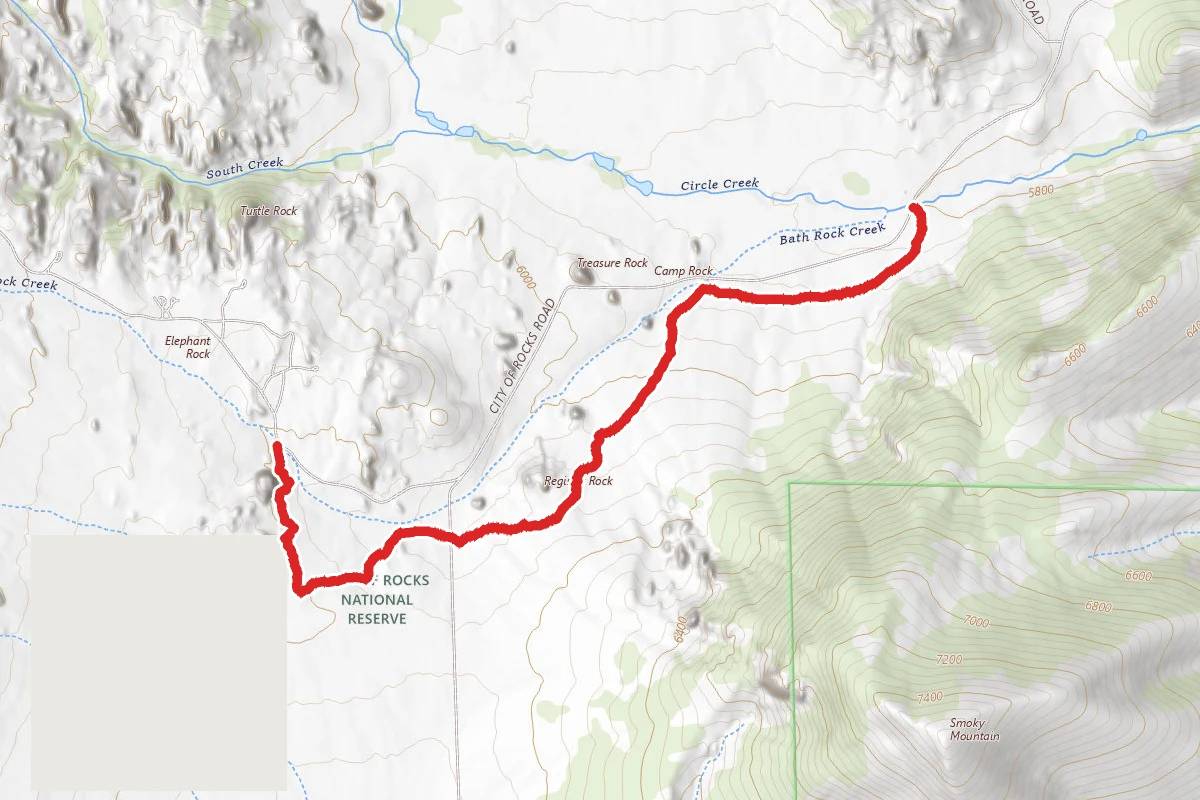
Retracement Trail
1.1 mi away
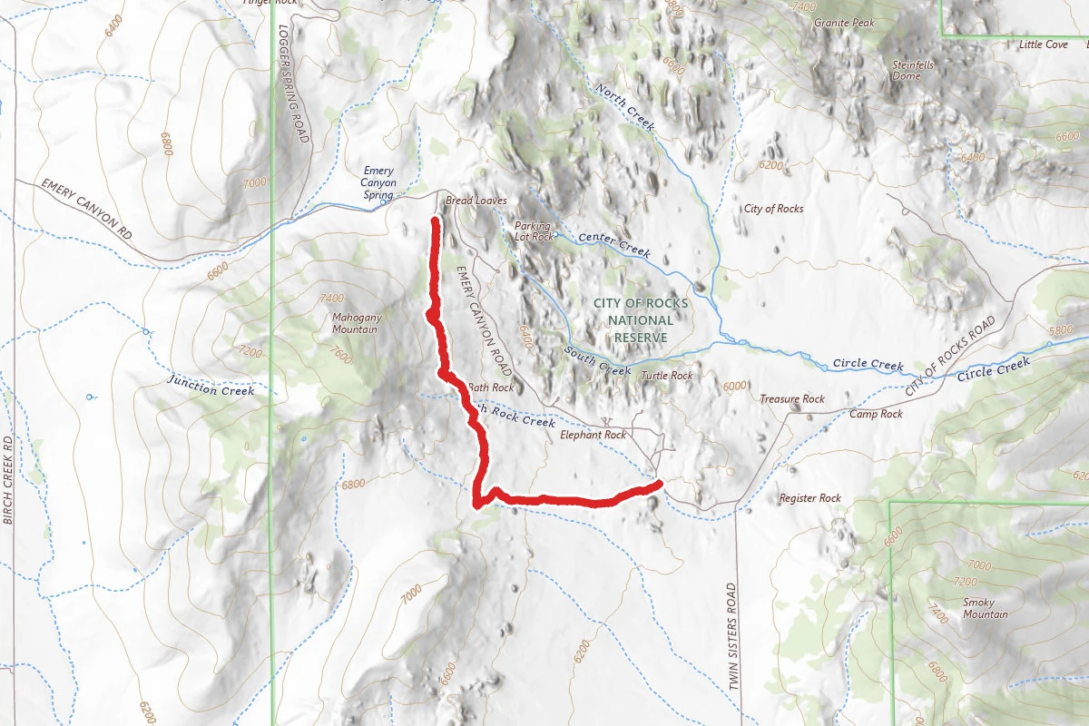
Tea Kettle Trail
1.1 mi away
In this park
Other trails in City of Rocks National Reserve
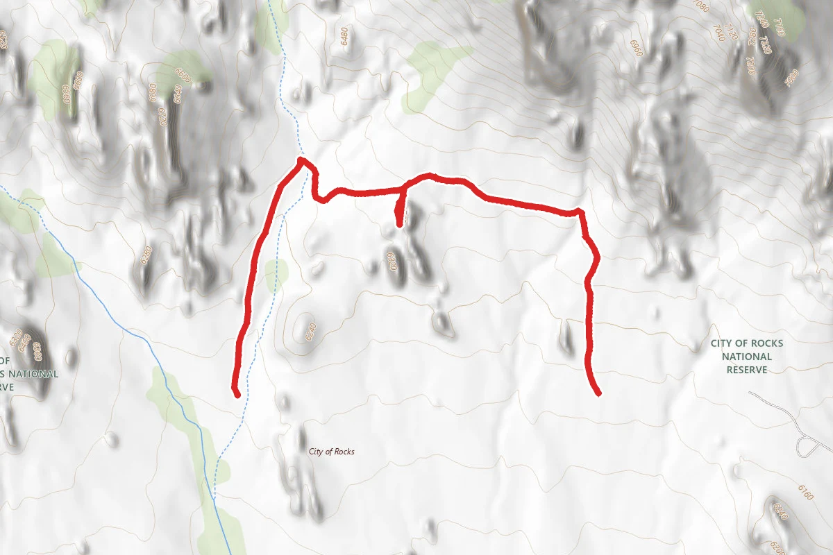
Geo watt Trail
Idaho
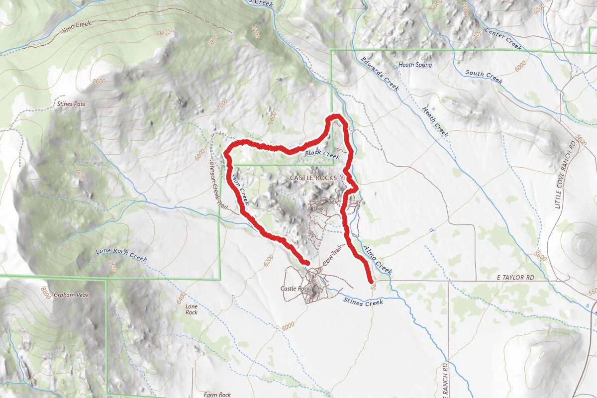
Castle Rocks Trail
Idaho
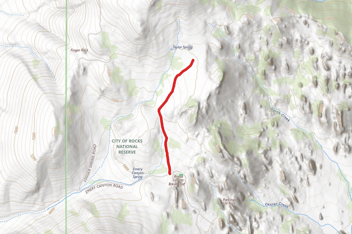
Indian Grove
Idaho
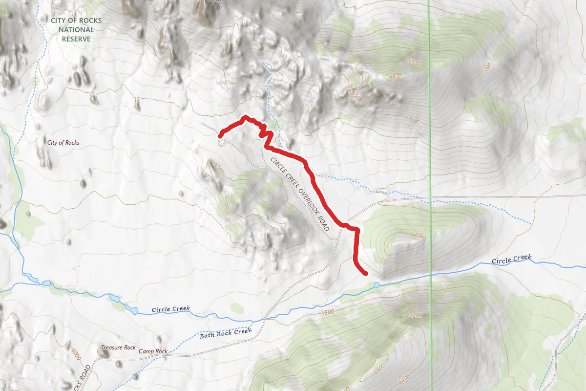
Smoky Mountain Connector
Idaho
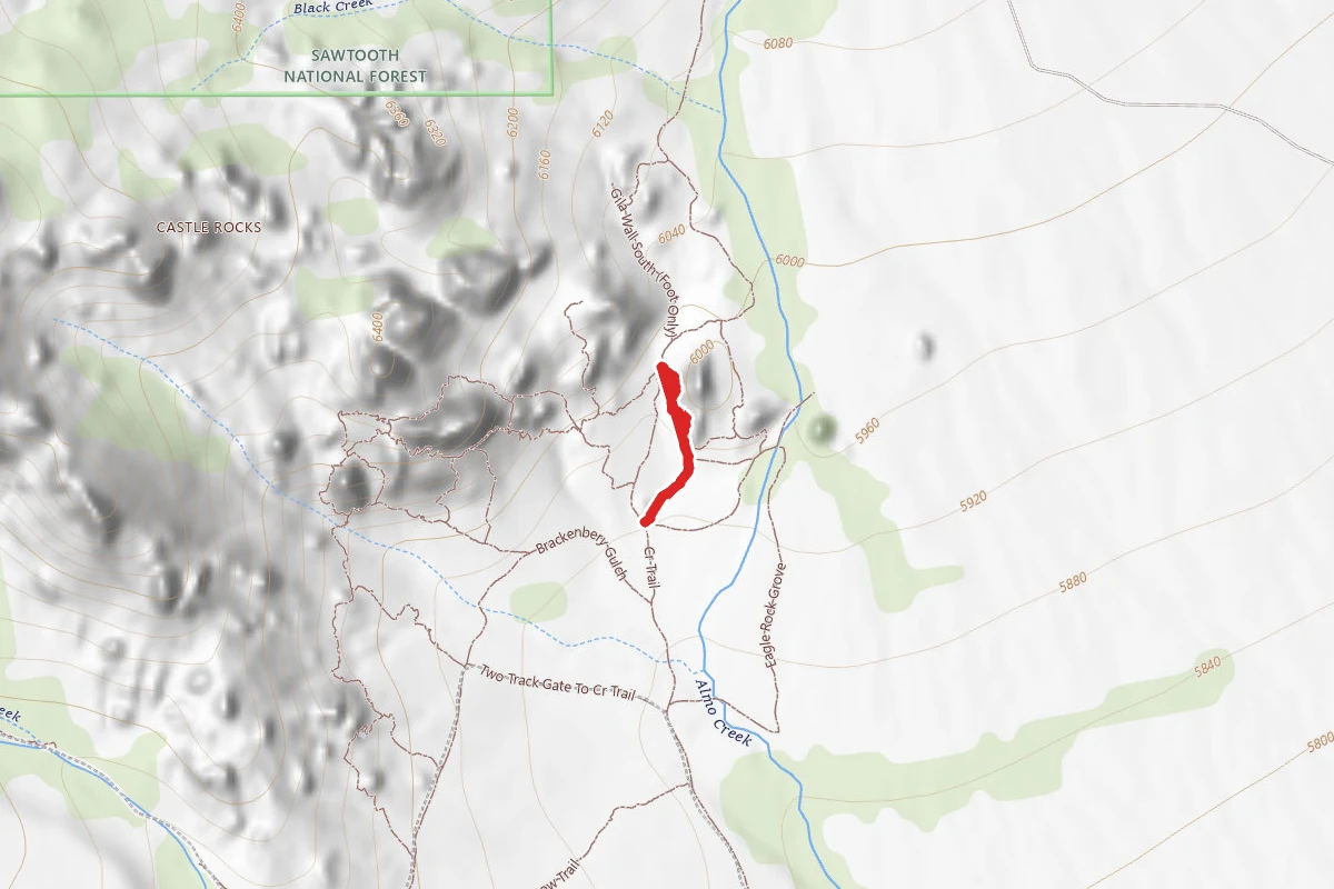
Fence line Trail
Idaho
Ranch road trail
Idaho
Stay nearby
Campgrounds near this trail
Similar length
Similar trails in Idaho
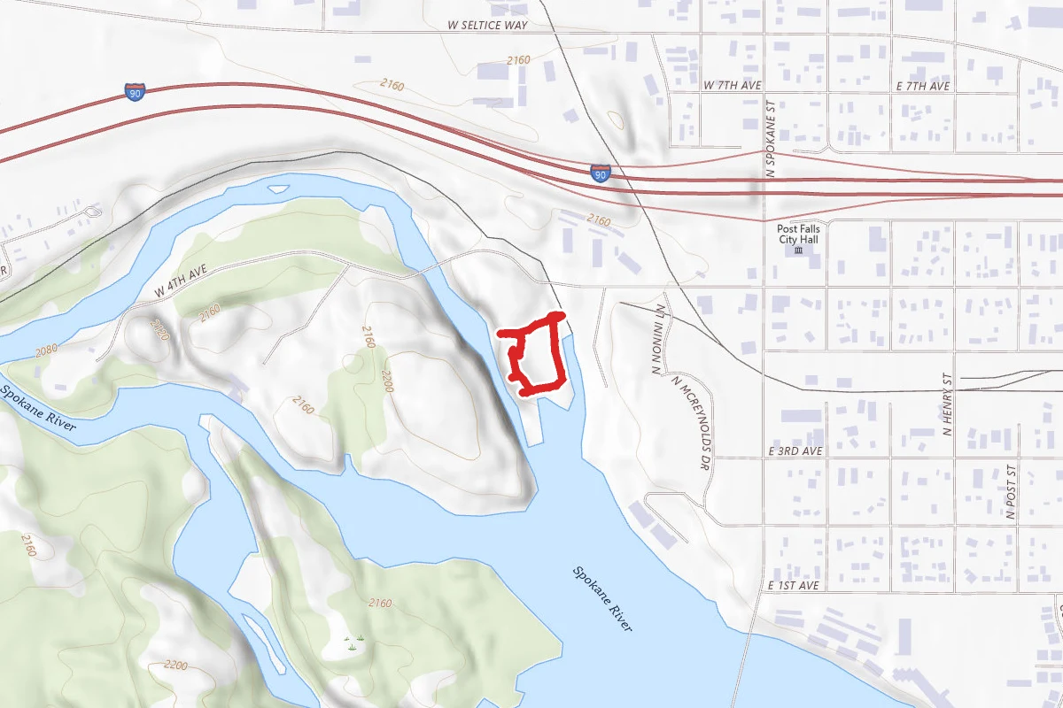
Falls Park Overlook Trail
Idaho
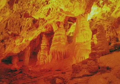
Minnetonka Cave
Idaho
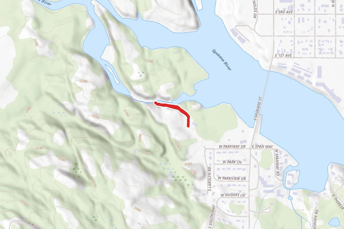
Spokane Riverside Trail
Idaho
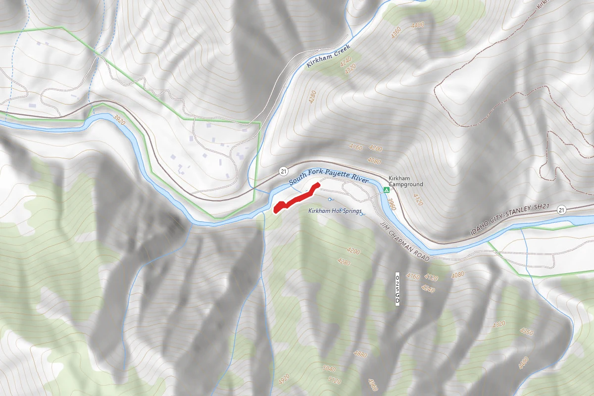
Kirkham Hot Springs
Idaho
Bath Rock Trail
Idaho
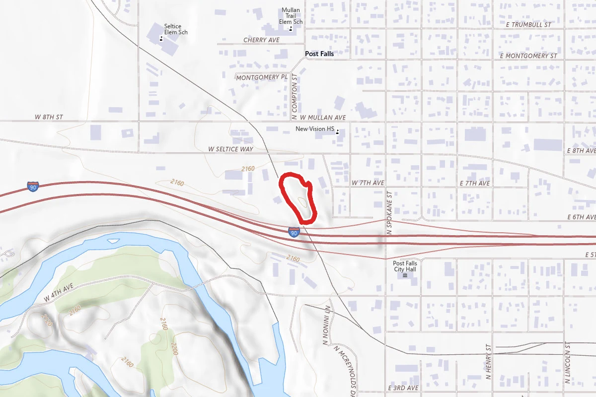
Treaty Rock Historical Loop
Idaho