Status unknown — verify before visiting

We don't have current condition data for this trail. Check with the land manager before you go.

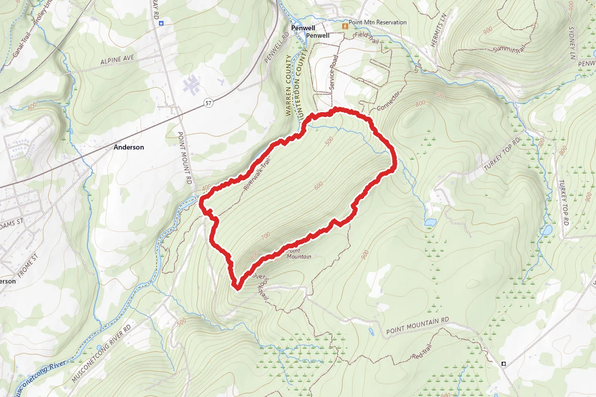
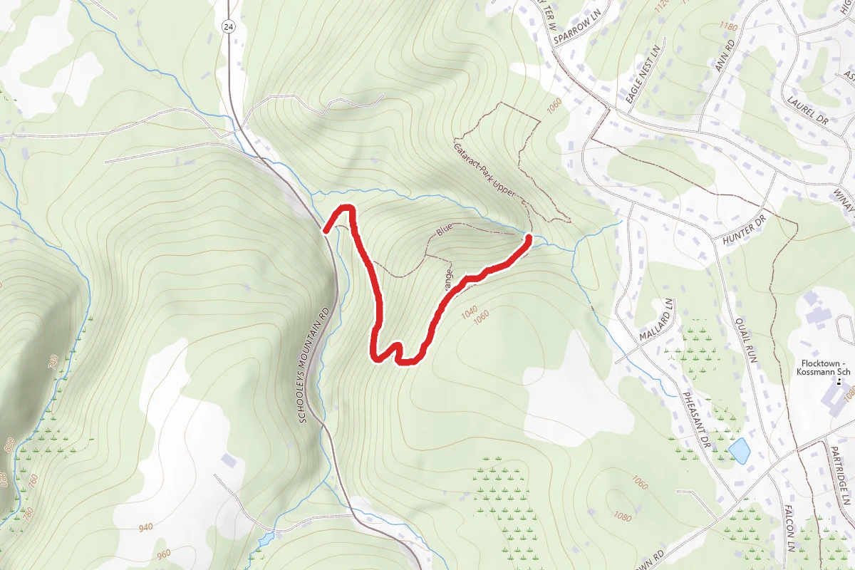
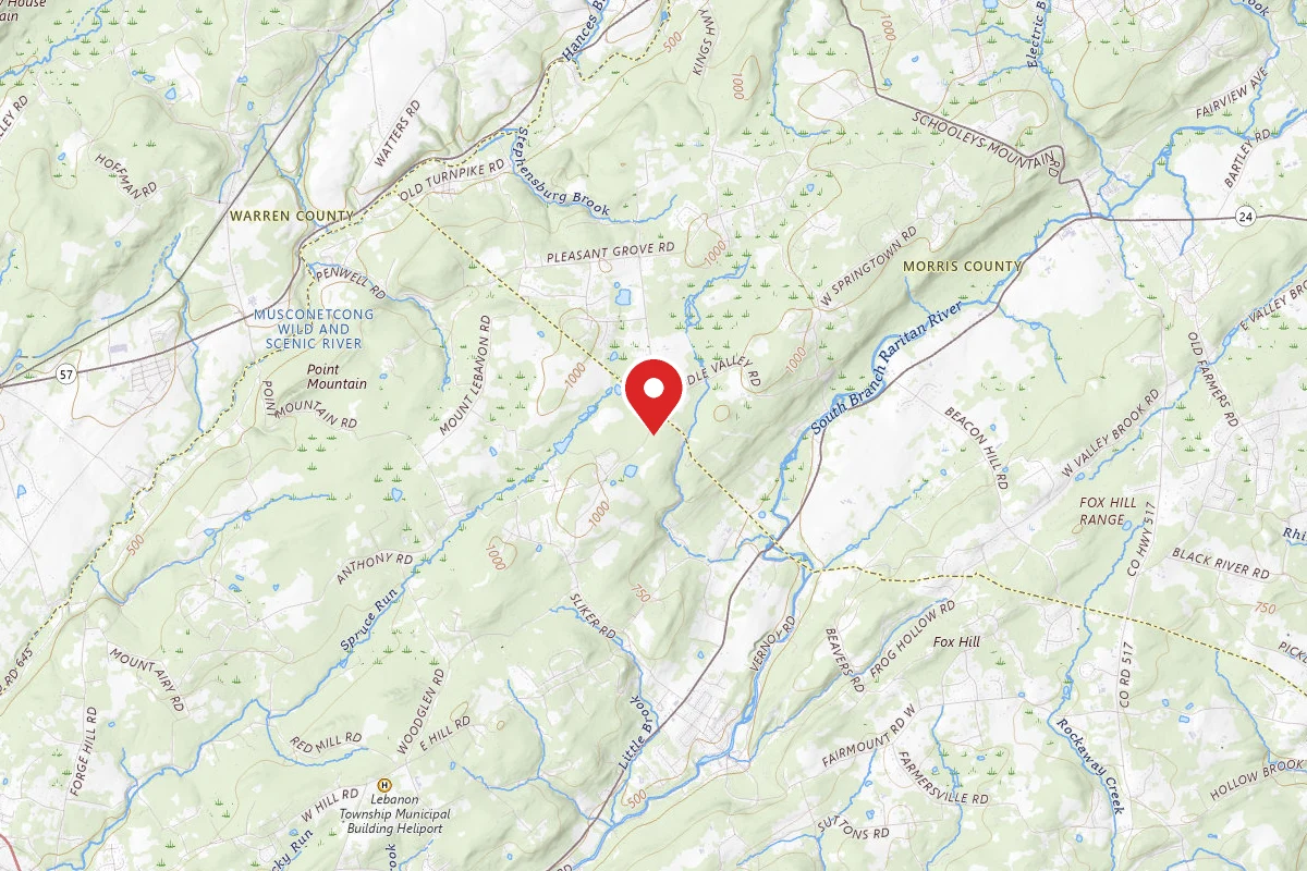
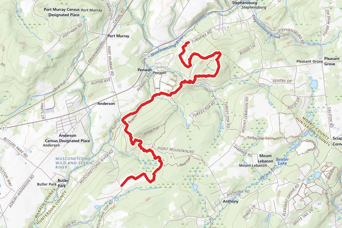
Point Mountain Reservation - North to South route map
DifficultPoint to Point

Point Mountain Reservation - North to South

Califon, New Jersey

6.2 mi

Distance

1,722 ft

Elev. Gain

2h 44m

Est. Time

Point to Point

Route Type

Difficult

Difficulty

About This Trail

Imported description
Point Mountain consists of three sections. Most people only do the Central section, but this hike covers all three. 1. The hike starts at the parking lot off Old Turnpike Rd - walk from the parking lot to the fields to the west and follow the Orange trail (on map, but not blazed in the fields. May want to look at Satellite map to see the fields). Head counterclockwise in the field doing two sides of the field and take the second opening into the second field on your right. Continue counterclockwise in this field heading uphill. After you do three sides of the field, you will see at the corner an opening in a rock wall going into the woods. If you look carefully, you can see Orange blazes in the woods. Follow the Orange trail, which starts out parallel, to the field. Eventually near the last field you will see the Orange trail turn to the left but continue straight (might be blazed white and orange at this point). Shortly you will come to a trail going to your left - this is the White trail. To the left goes back to the parking lot. Head straight on White following the blazes uphill. 2. Eventually the trail intersects the start of the Blue trail on the left. Take this trail uphill. The Blue will meet the Red at an old wood road. Take the Red to the left, which will cross a huge stonewall which is almost straight up and down on the far side. Shortly you will intersect with the White again. Take the White to the left and follow it to the top (1000 ft. elevation, but no view due to the trees), before following it downhill. 3. At the bottom of the hill, you will cross Penwell Rd and enter the Central section of Point Mountain. The White renters the woods to the left. Continue on White and cross Beatty's Brook before heading uphill through a large patch of ferns. Continue on White until you meet the Orange trail intersection. Take Orange to the right and downhill to the fields. Stay on the edge of the field (clockwise) heading downhill until you meet Blue. Follow Blue into the woods and along the Musconetcong River - nice flat beautiful walk. Make sure to take the section closest to the river. 4. Eventually you will come to the road by an old iron bridge. Head away from the river to the parking lot. Take Blue into the woods until you intersect the Orange again (should be straight ahead). 5. Take the Orange path up hill. You are now climbing Point Mountain - about 450-foot elevation gain in half a mile, but not a bad trail. At the top, there is a beautiful view to the North. 6. From the top head down the backside and find the Yellow trail. Take the Yellow trail to the road (Point Mountain Road) - note just before the road there is a fork - take the right branch. There was a huge tree covering the trail at this point so carefully make your way down to the road. If you did this correctly, you will see the Yellow Blaze on the tree across the road. If not you will have to look for it as the trail is faint at this point. 7. You are now in the South section of Point Mountain. Follow the Yellow trail away from the road and uphill until you again intersect the White trail. Take the White trail to the right. Follow the White trail through the woods and eventually you will come to open fields. Continue through the fields until you come to the parking lot on Mountain Top Rd and the end of the hike. NOTE: The White trail is one continuous trail from the starting lot to the final lot, but it misses most of the highlights of the area.

Trail Conditions

Trail Conditions

Unknown

We have no current condition data for this trail. Check with the operator before you go, and submit a report below if you've been recently.

No recent condition reports. Be the first to share what you see on the trail.

Elevation Profile

Min:132 ft
Max:313 ft
525 ft
425 ft
132 ft192 ft253 ft313 ft0.0 mi1.5 mi3.1 mi4.6 mi6.2 mi

Trail Details

Route Type
Point to Point
Surface
Dirt

Official sources & verification

We don't have curated agency sources for this trail in our cache yet. Outdoors is not the permitting authority — confirm conditions, permits, and access with the managing agency before you go. If you know who manages this trail, please tell us.

Reviews

No reviews yet

Be the first to share your experience and help others plan their visit.

Legacy import — verify before navigating

Path geometry came from our pre-launch legacy database. Routes have not yet been re-verified against the operator and may differ from the actual trail.
Spot an error in our data on Point Mountain Reservation - North to South?