Difficult
0.7 mi
Distance
889 ft
Elev. Gain
39m
Est. Time
0.0
0 Reviews
About This Trail
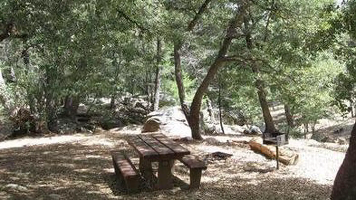
It is best to use the trail from October through May because of high summer temperatures. The trail starts near a turnout on the grade road. The trail descends the steep canyon walls through chaparral and poison oak. The trail is loose at times.
Trail Details
Out & Back
Route Type
Dirt
Surface
Dogs Allowed (Leash Required)
Dog Policy
Yes
Kid Friendly
No
Permit Required
Elevation Profile
Min:612 ft
Max:882 ft
271 ft
271 ft
Reviews
No reviews yet
Be the first to share your experience and help others plan their visit.
Trail Conditions
Trail Conditions
Unknown
Updated Unknown
No recent condition reports. Be the first to share what you see on the trail.
Nearby Trails
More trails near Pauma Creek Trail [CLOSED]![Boucher Hill Loop [CLOSED]](https://www.nps.gov/common/uploads/structured_data/3C873CC3-1DD8-B71B-0B076FC2806DF140.jpg?width=800&quality=80)
Stay nearby
Campgrounds near this trail
Reservable
Doane Valley Campground - Palomar Mountain SP
3.2 mi away · CA
Reservable
Oak Knoll Campground
4.5 mi away · CA
 Reservable
Fry Creek Campground
4.5 mi away · CA
- Reservable
Frye creek campground
4.5 mi away · CA
 Reservable
Observatory Campground
4.5 mi away · CA
Reservable
Baileys on Palomar
4.8 mi away · CA
Similar length
Similar trails in California
Hidden Falls Trail
California
1.1 km245 mgain
Easy
Lower Yosemite Falls Trail [CLOSED]
California
1.6 km79 mgain
Easy
Hidden Valley Nature Trail
California
1.6 km47 mgain
Easy
Inspiration Point
California
1.4 km383 mgain
Moderate
General Sherman Tree Trail
California
1.3 km68 mgain
Easy
Glacier Point Trail [CLOSED]
California
1.0 km65 mgain
Easy