Moderate
6.3 mi
Distance
2,188 ft
Elev. Gain
2h 49m
Est. Time
0.0
0 Reviews
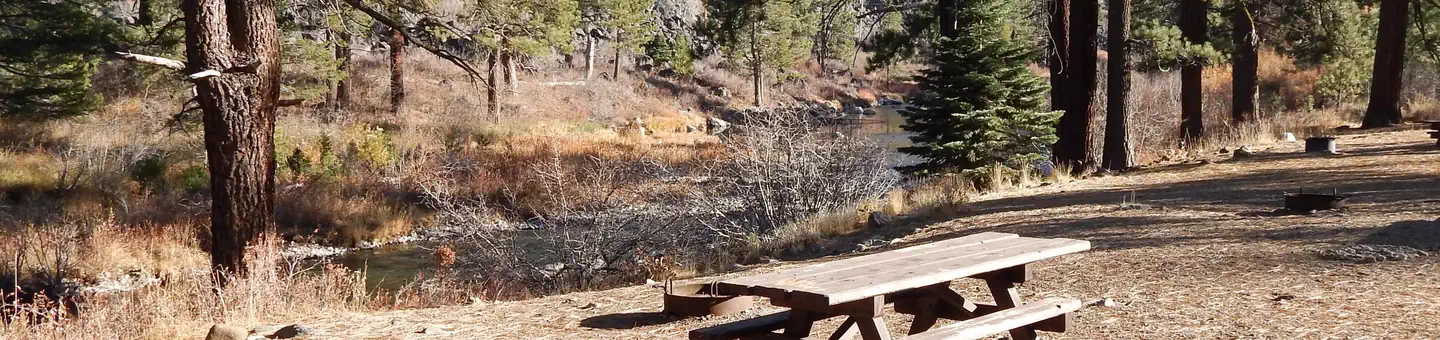
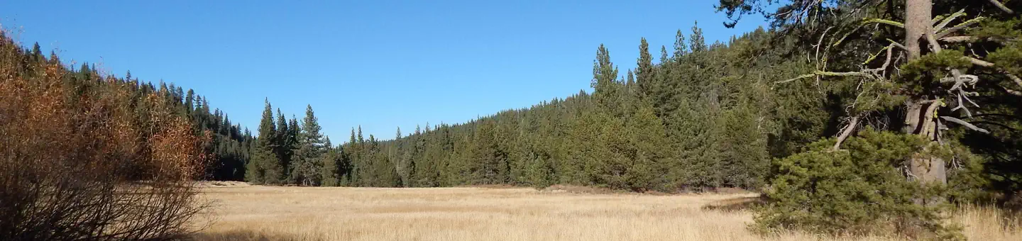
About This Trail
Moderate climb from the summit of the mountain on the highway 40. If you continue on the trail you can hike up to other peaks and access the Chief Wilderness. You can see a view of Sierra Buttes from the top of Lincoln. It can be combined with the Judah/Donner peak trails.
Trail Details
Out & Back
Route Type
Dirt
Surface
Dogs Allowed (Leash Required)
Dog Policy
Yes
Kid Friendly
No
Permit Required
Elevation Profile
Min:2,158 ft
Max:2,549 ft
667 ft
667 ft
Reviews
No reviews yet
Be the first to share your experience and help others plan their visit.
Trail Conditions
Trail Conditions
Unknown
Updated Unknown
No recent condition reports. Be the first to share what you see on the trail.
Angela, Flora, and Azalea Lakes via Pacific Crest and Donner Summit Lakes Trails
8.9 km
Moderate
Donner Peak Trail
6.1 km
Moderate
Mount Judah Loop Trail
7.7 km
Moderate

Benson Hut and Tinkers Knob Trail
22.4 km5.0
Moderate
Benson Hut and Tinkers Knob Trail
22.4 km
Moderate
Donner Pass to Squaw Valley via the Pacific Crest Trail
22.4 km
Moderate
Similar length
Similar trails in California

Mirror Lake Loop
California
6.2 km30 mgain
Easy

Four Mile Trail
California
7.7 km975 mgain
Difficult
.jpg/1280px-Lost_Horse_Mine_Loop_Trail_(16650877030).jpg)
Lost Horse Mine Loop
California
14.0 km152 mgain
Moderate
Potato Chip Rock via Mt. Woodson Trail
California
12.2 km1,108 mgain
Difficult
Eaton Canyon Trail
California
5.6 km279 mgain
Moderate
Iron Mountain Trail
California
8.4 km435 mgain
Moderate