Status unknown — verify before visiting

We don't have current condition data for this trail. Check with the land manager before you go.

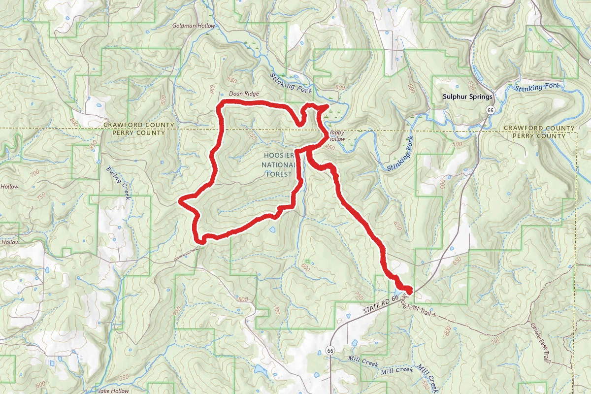
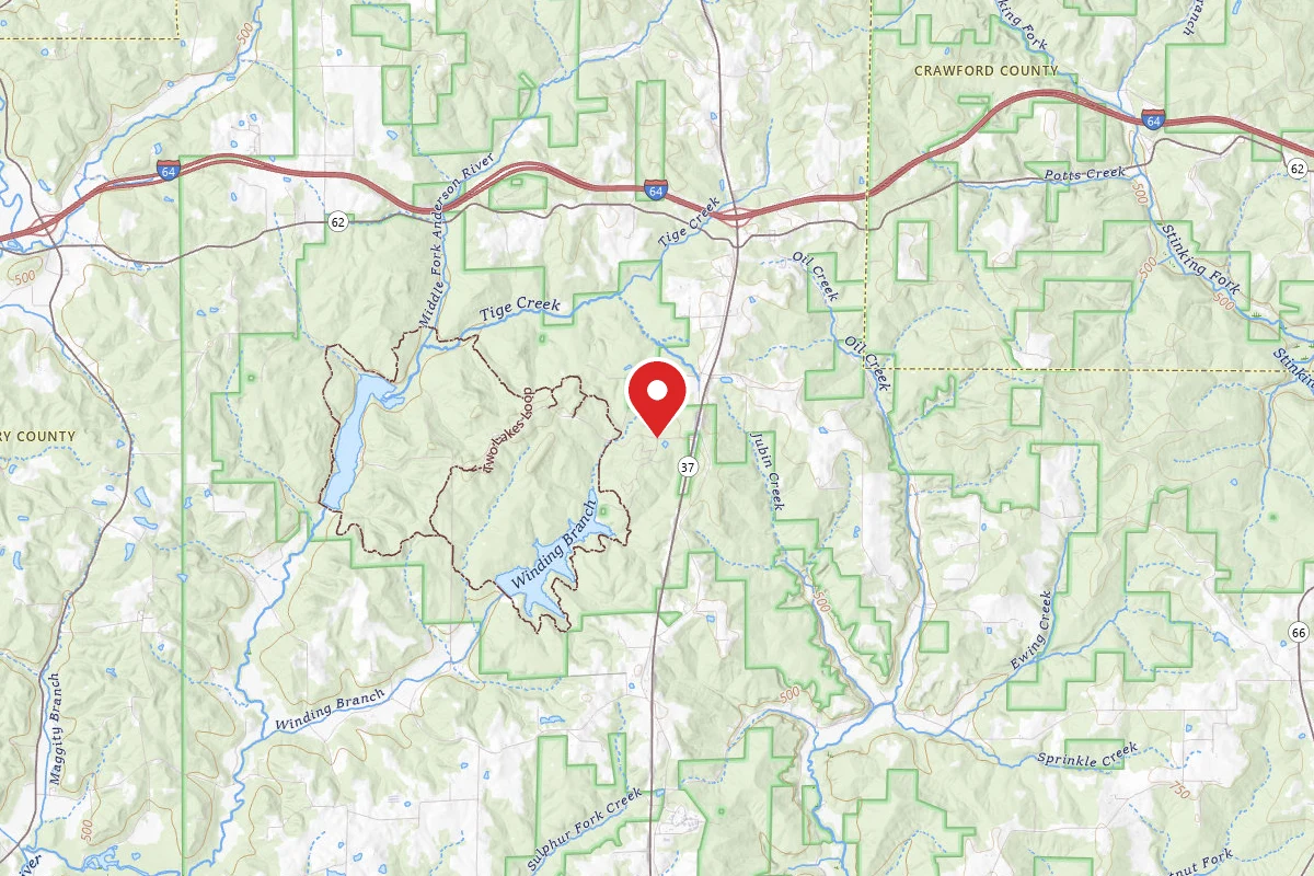
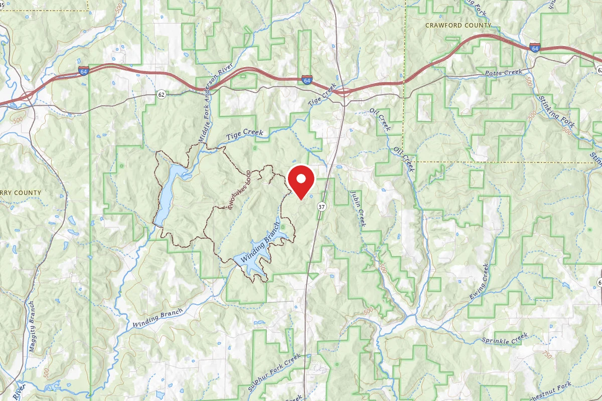
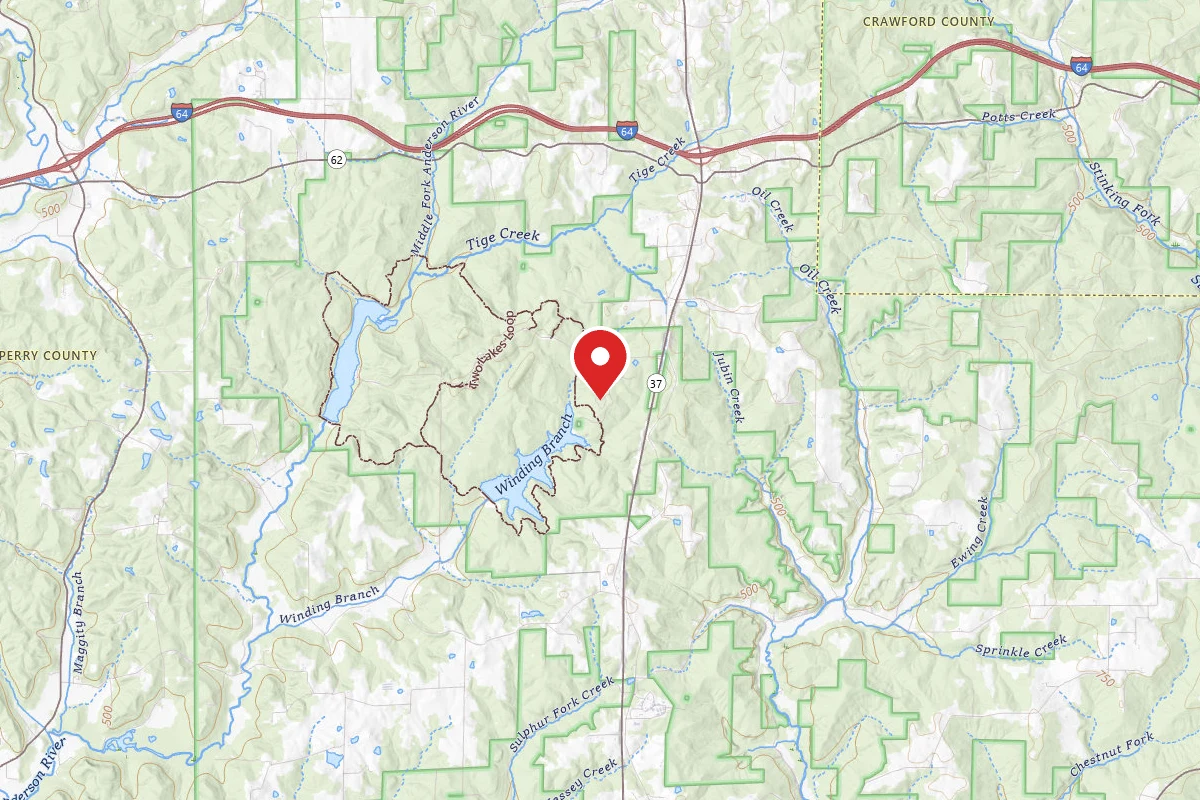
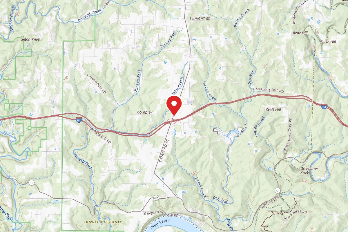
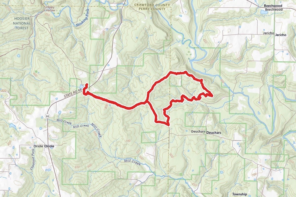
Oriole Trail East route map
DifficultLoop

Oriole Trail East

Sulphur, Indiana

7.8 mi

Distance

1,293 ft

Elev. Gain

2h 56m

Est. Time

Loop

Route Type

Difficult

Difficulty

About This Trail

Imported description
Went to the Hoosier National Forest to explore a trail I hadn't hiked before and decided on the Oriole Trail - East. This trail peaked an interest based on its topography, remoteness and proximity to the Little Blue River. The trail starts at the southern end of the parking area for both Oriole Trails - East & West. The trail begins in the woods but you quickly cross State Route 66 and then enter the woods again on the south side of the highway. Watch for a small family plot (trail left) in the woods, a large monument marks the location. You soon come to a graveled forest service road the you will follow at least to the point where the trail splits (approx. 1.5mi from TH); along the way you will several timber cuts and a wonderful vista looking north. At the trail split if you choose trail right (southern portion of loop) you will continue to follow the gravel roadway through several more areas of timber cut until you reach approx mile 2.2 this is where the trail leaves the roadway and begins into a recent timber cut only briefly before entering the woods. About mile 3.5 - 4 you will come to a wide wooded valley with a stream flowing through the middle of it. This stream looks as though it would be watered most times of the year, may be dry in late summer/early fall or other times of the year based on weather conditions, this would be a good place to filter water. The valley looks as though it would be a great place to camp for a night. The streams is a rock bed with several pools of water in it. After leaving the valley you will hike up and down a few hills until you come to a ridge overlooking the Little Blue River valley. This ridge is approx 250 ft above the river in a heavily wooded section of the forest; if you look close enough you can catch glimpses of river below. The trail continues along this ridge for about a mile before head back toward the trail intersection. The eastern and northern sections of the trail made up the for the southern and western portions.Tip : Petzold Rating: 9.2 (Moderate) ------------------------------------------------------------------------------------------------------------ 1. Watch trail signs at the intersection on the southeast corner of the trail (approximately 2.2 miles from trail head; some blazes point the trail as straight which leads to another parking area, the other sign points left which is the trail. 2. For the best color visit in autumn (late October/early November), for best vistas late autumn through early spring while the leaves are off the trees. 3. Hunter orange is a must during hunting season, I suggest mid-September through early January.

Trail Conditions

Trail Conditions

Unknown

We have no current condition data for this trail. Check with the operator before you go, and submit a report below if you've been recently.

No recent condition reports. Be the first to share what you see on the trail.

Trail Details

Route Type
Loop
Surface
Dirt

Official sources & verification

We don't have curated agency sources for this trail in our cache yet. Outdoors is not the permitting authority — confirm conditions, permits, and access with the managing agency before you go. If you know who manages this trail, please tell us.

Reviews

No reviews yet

Be the first to share your experience and help others plan their visit.

Legacy import — verify before navigating

Path geometry came from our pre-launch legacy database. Routes have not yet been re-verified against the operator and may differ from the actual trail.

Spot an error in our data on Oriole Trail East?