Status unknown — verify before visiting

We don't have current condition data for this trail. Check with the land manager before you go.

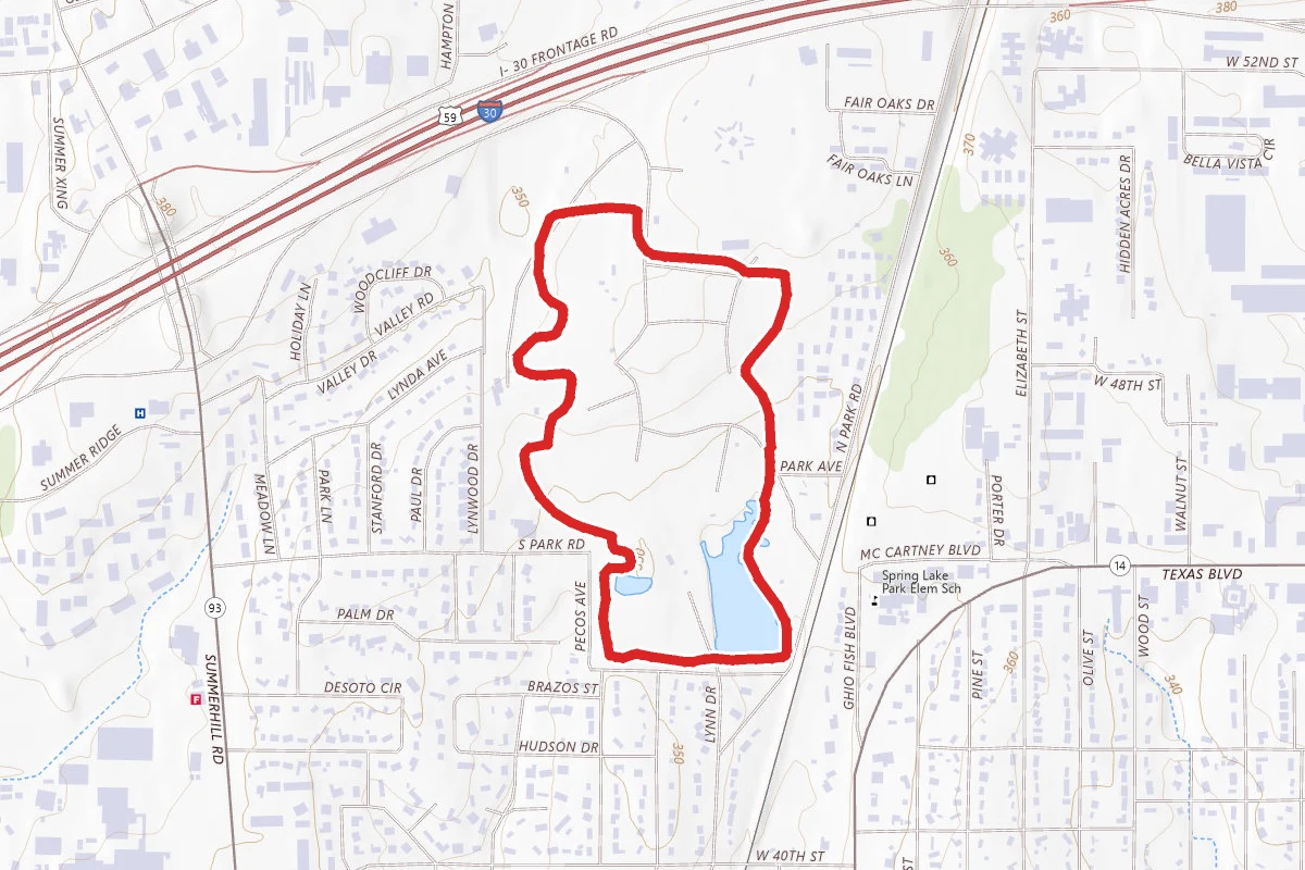
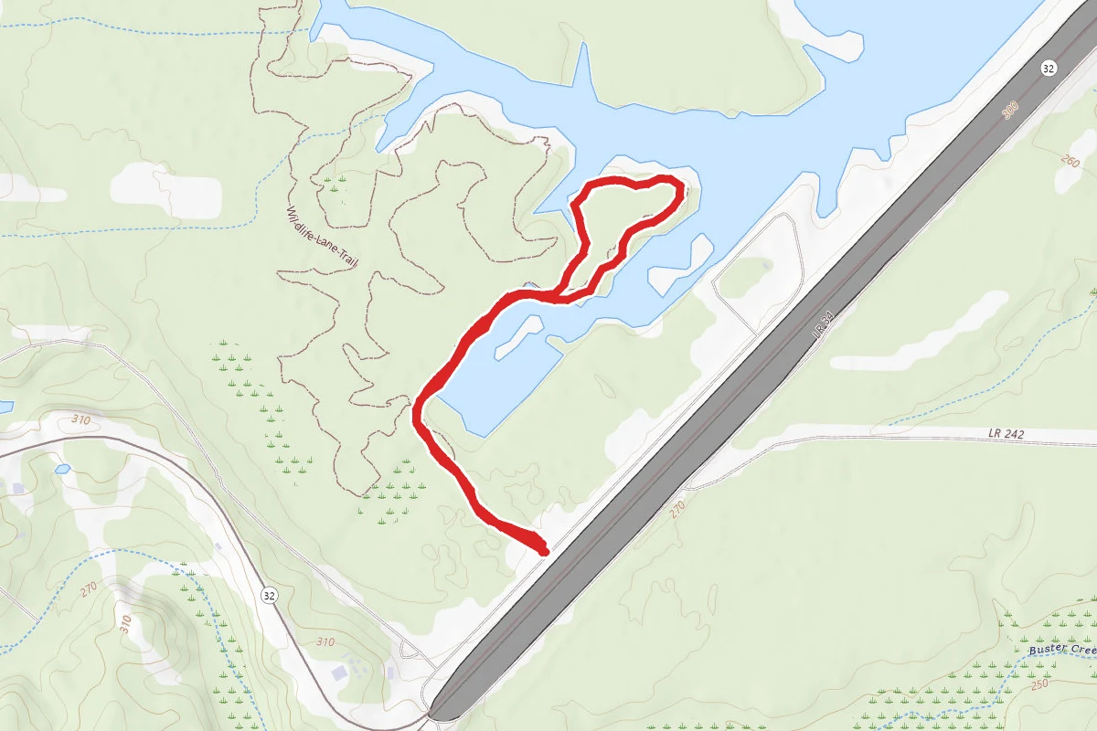
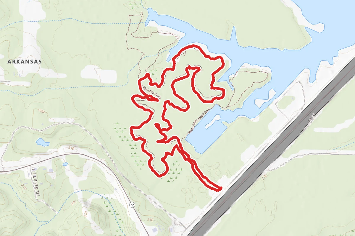
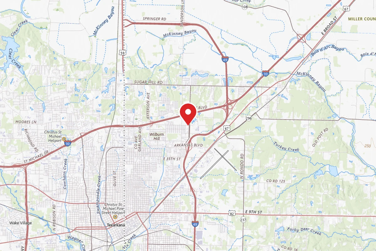
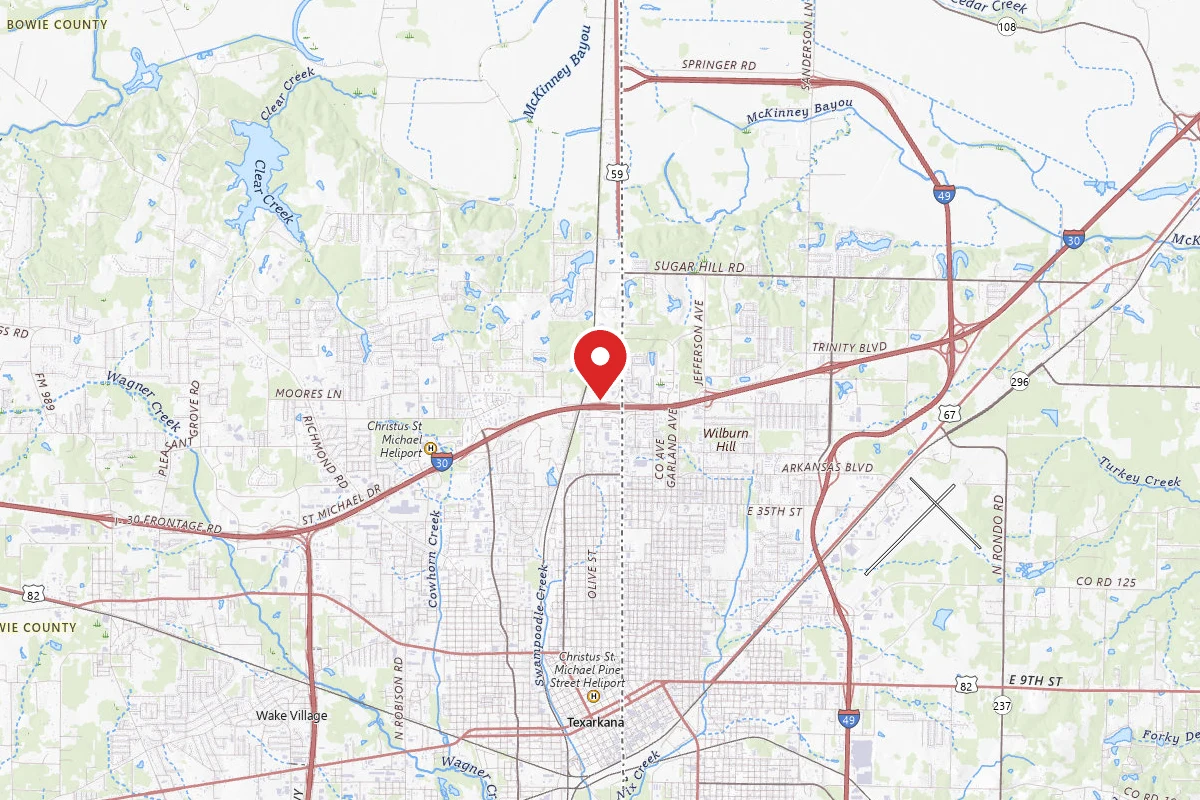
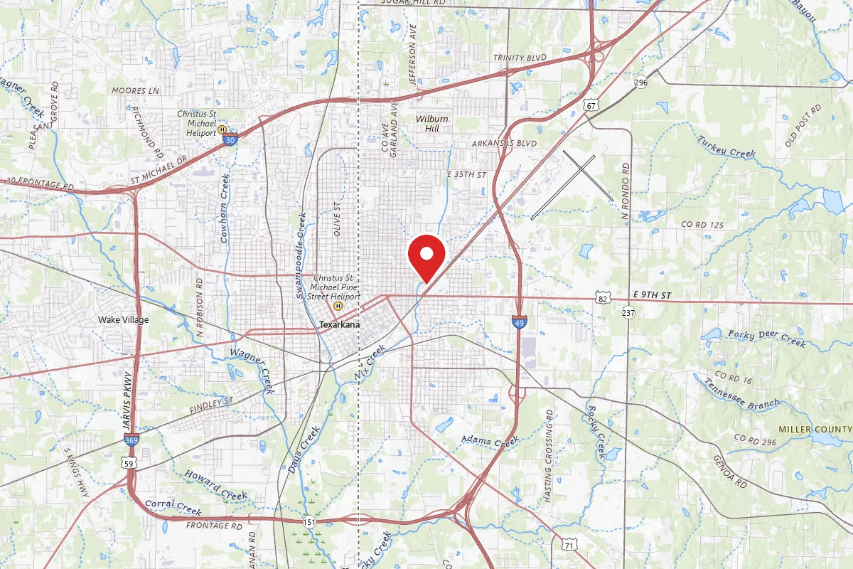
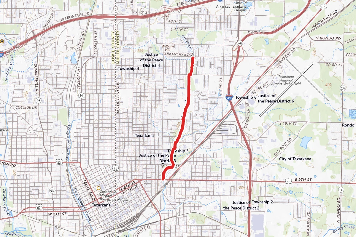
Nix Creek Trail route map
EasyOut and Back

Nix Creek Trail

Texarkana, Arkansas

4.5 mi

Distance

341 ft

Elev. Gain

1h 31m

Est. Time

Out & Back

Route Type

Easy

Difficulty

About This Trail

Imported description
Nix Creek Trail cuts a north-south path for a relatively flat and straight 2.4 miles alongside its namesake waterway in Texarkana, Arkansas. The trail is asphalt from beginning to end and is smooth enough for walkers, runners and bikers. Nix Creek Trail cuts a north-south path for a relatively flat and straight 2.4 miles alongside its namesake waterway in Texarkana, Arkansas. The trail is asphalt from beginning to end and is smooth enough for walkers, runners and bikers. Motorized vehicles and horses are not allowed on Nix Creek trail. Inclines are few and short, but one or two are fairly sharp. As it weaves through neighborhoods and along school grounds, Nix Creek Trail is often used by families for walking and biking and older students making their way to and from class. It is also popular with runners because of its well marked mileage points and long straight-aways. The trail is segmented by five street crossings, some of which can be busy at times. Between Arkansas Boulevard and 35th Street, the trail gently curves through a quiet neighborhood. Residents often sit in backyards which open up directly onto the trail and wave to passersby. Nix Creek slowly rolls along the west side of the trail in this section and its not uncommon to see children fishing or playing in the creek. As it crosses 35th Street, the trail also crosses the creek and runs along the west side of the water throughout the section between 35th and 24th Streets. Spring and summer bring lots of activity to this trail section as parents often walk while children practice baseball at the fields bordering the path. Passing the ball fields, trail-goers enter a densely shaded area and around the one-mile mark a fenced horse pasture on the west side of the trail gives users a glimpse grazing animals. Just after the one mile marker, the trail crosses 24th Street and the creek. In this section, a thickly wooded area borders the east side of the trail and the creek is contained within a drainage ditch on the west until it passes under a small bridge at the end of this section and cuts east again, returning to its natural creek bed. Just beyond the bridge is 18th Street, which is approximately 1.5 miles from the Arkansas Boulevard entrance. Between 18th and 12th Streets, the path runs behind Arkansas High School through a well shaded section. Tennis courts back up directly to the trail and the squirrels and birds are particularly active through here. Crossing 12th Street, the trail rolls through Jefferson Park, a small but well-maintained facility which offers picnic and play areas. After passing through the park, the path briefly ducks behind the Texarkana, Texas city motor pool before crossing 9th Street and ending at the Farmers Market. Over the length of the trail, long stretches of sunny, open sky alternately give way to cool, shaded sections through stands of tall trees. The path rarely holds water, even after very heavy rains low spots dry quickly. There is minimal lighting, and after sundown some sections of the trail become very dark. Parking is available at both the Arkansas Boulevard and East 9th Street ends of the trail, and also at North Texarkana Ballpark and Jefferson Park, located off 35th Street and Jefferson Avenue, respectively. Beyond the trails end at the Farmers Market, the Nix Creek Extension project is well underway just across Broad Street. The connection is not marked yet, and can be somewhat difficult to locate. Soon, though, directional signs will point traffic to the completed sections and the Extension will join the existing trail to connect Arkansas Boulevard to East Street (Hwy 71), near the Boys and Girls Club facility.

Trail Conditions

Trail Conditions

Unknown

We have no current condition data for this trail. Check with the operator before you go, and submit a report below if you've been recently.

No recent condition reports. Be the first to share what you see on the trail.

Elevation Profile

Min:93 ft
Max:109 ft
104 ft
104 ft
93 ft98 ft104 ft109 ft0.0 mi1.1 mi2.3 mi3.4 mi4.5 mi

Trail Details

Route Type
Out & Back
Surface
Dirt

Official sources & verification

We don't have curated agency sources for this trail in our cache yet. Outdoors is not the permitting authority — confirm conditions, permits, and access with the managing agency before you go. If you know who manages this trail, please tell us.

Reviews

No reviews yet

Be the first to share your experience and help others plan their visit.

Legacy import — verify before navigating

Path geometry came from our pre-launch legacy database. Routes have not yet been re-verified against the operator and may differ from the actual trail.

Hunt context

This trail crosses hunting unit

During hunting seasons, wear blaze orange and check regulations — see the Arkansas hunting page

Spot an error in our data on Nix Creek Trail?